Ashton-Sandy Spring is a census-designated place (CDP) in Montgomery County, Maryland, United States. The CDP is designated to include the two unincorporated communities of Ashton and Sandy Spring. It had a population of 5,746 as of the 2020 census.
| Name: | Ashton-Sandy Spring CDP |
|---|---|
| LSAD Code: | 57 |
| LSAD Description: | CDP (suffix) |
| State: | Maryland |
| County: | Montgomery County |
| Total Area: | 10.36 sq mi (26.83 km²) |
| Land Area: | 10.26 sq mi (26.57 km²) |
| Water Area: | 0.10 sq mi (0.26 km²) |
| Total Population: | 5,746 |
| Population Density: | 560.20/sq mi (216.29/km²) |
| FIPS code: | 2402762 |
Online Interactive Map
Click on ![]() to view map in "full screen" mode.
to view map in "full screen" mode.
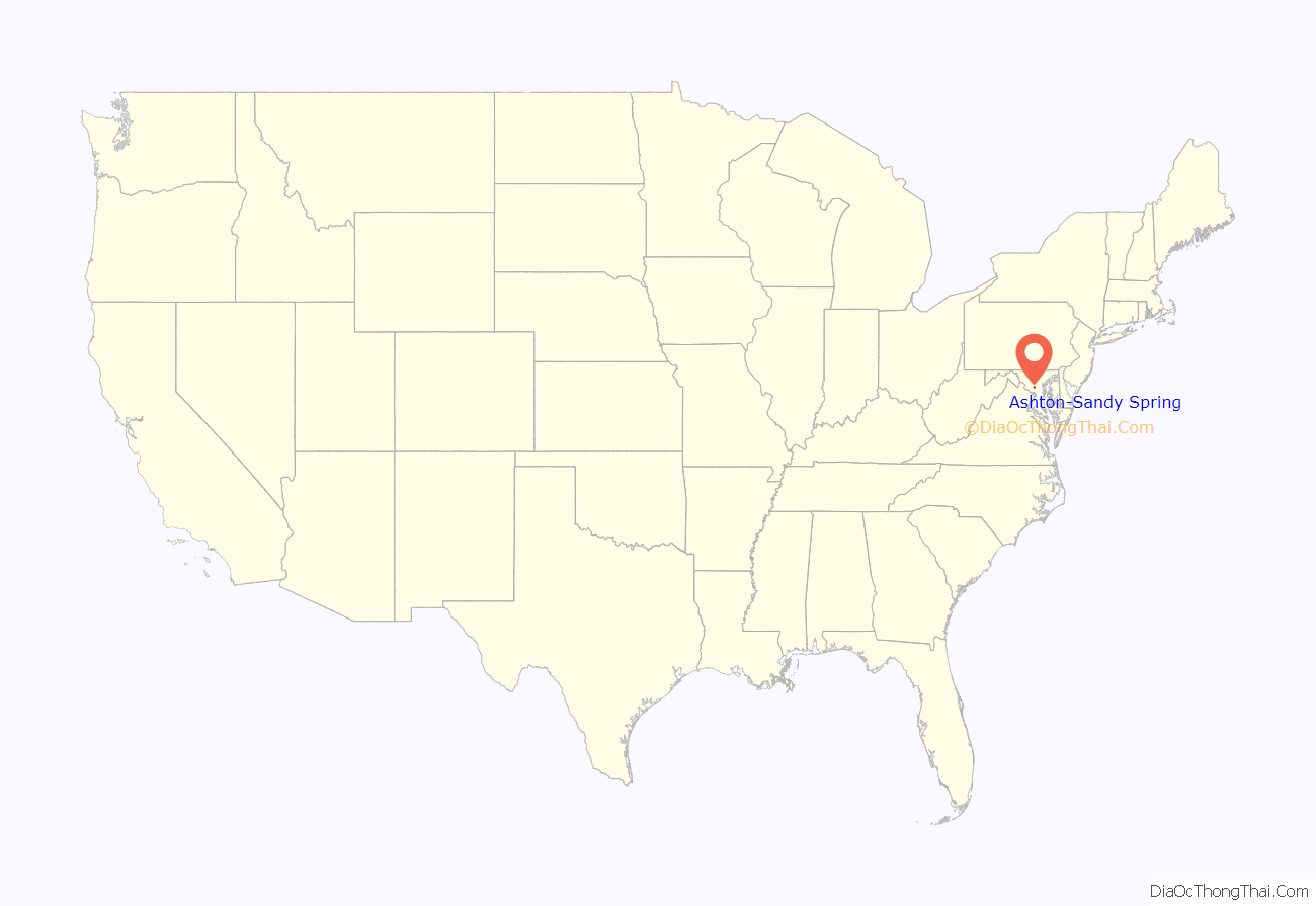
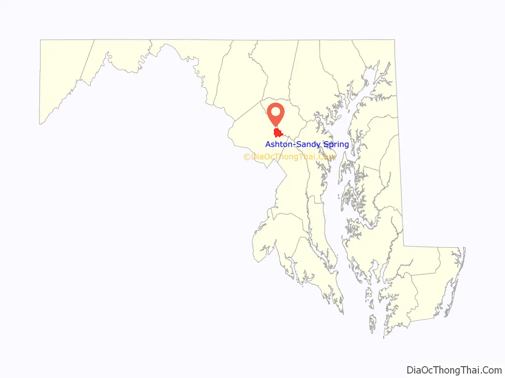
Ashton-Sandy Spring location map. Where is Ashton-Sandy Spring CDP?
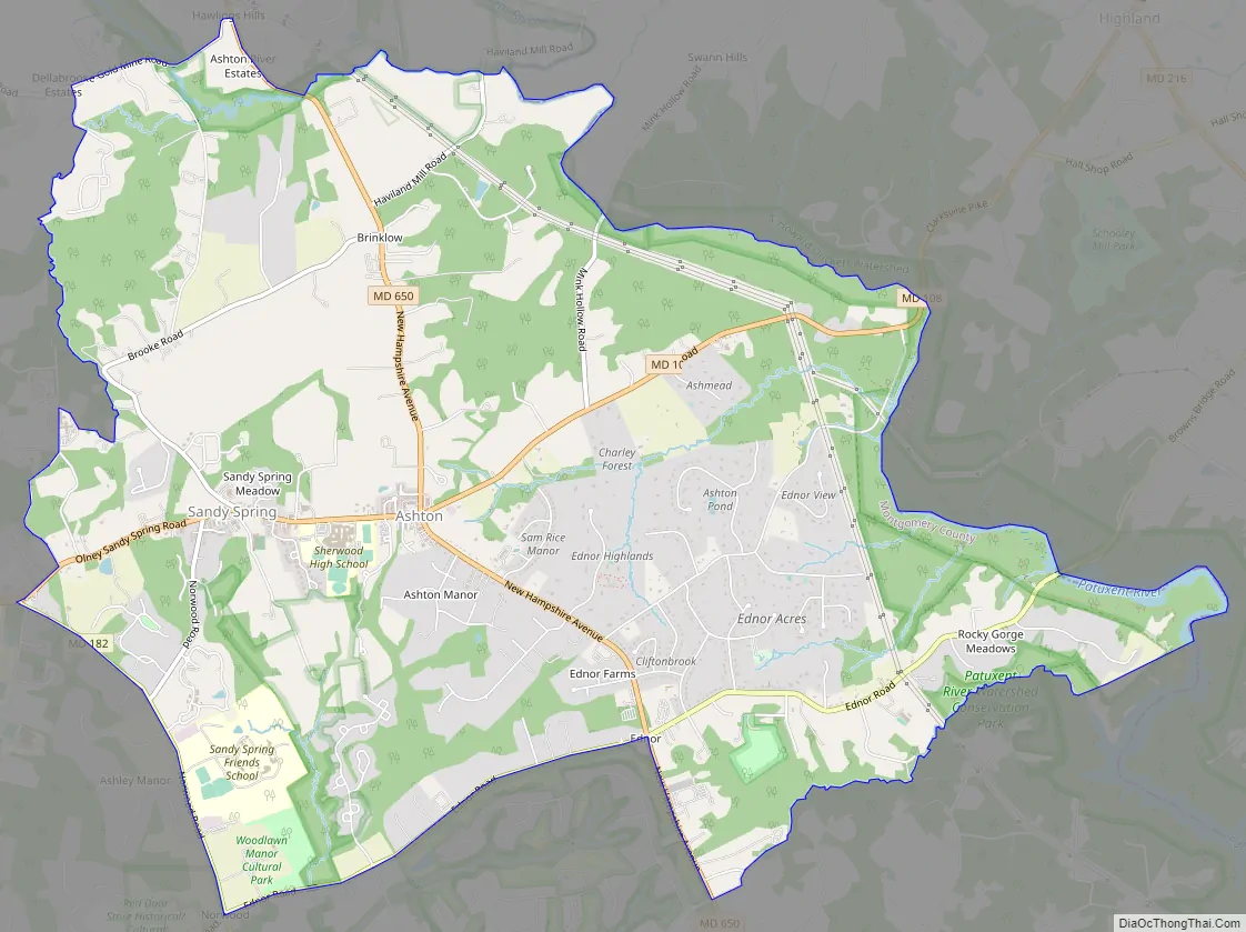
Ashton-Sandy Spring Road Map
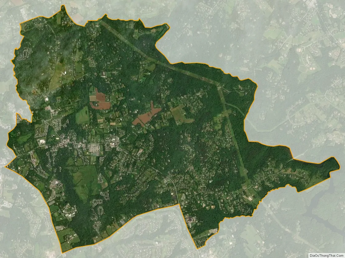
Ashton-Sandy Spring city Satellite Map
Geography
Ashton-Sandy Spring is located at 39°8′54″N 76°59′55″W / 39.14833°N 76.99861°W / 39.14833; -76.99861 (39.148270, −76.998599).
According to the United States Census Bureau, the place has a total area of 7.6 square miles (20 km), of which 7.6 square miles (20 km) is land and 0.04 square miles (0.10 km) (0.26%) is water.
See also
Map of Maryland State and its subdivision: Map of other states:- Alabama
- Alaska
- Arizona
- Arkansas
- California
- Colorado
- Connecticut
- Delaware
- District of Columbia
- Florida
- Georgia
- Hawaii
- Idaho
- Illinois
- Indiana
- Iowa
- Kansas
- Kentucky
- Louisiana
- Maine
- Maryland
- Massachusetts
- Michigan
- Minnesota
- Mississippi
- Missouri
- Montana
- Nebraska
- Nevada
- New Hampshire
- New Jersey
- New Mexico
- New York
- North Carolina
- North Dakota
- Ohio
- Oklahoma
- Oregon
- Pennsylvania
- Rhode Island
- South Carolina
- South Dakota
- Tennessee
- Texas
- Utah
- Vermont
- Virginia
- Washington
- West Virginia
- Wisconsin
- Wyoming


