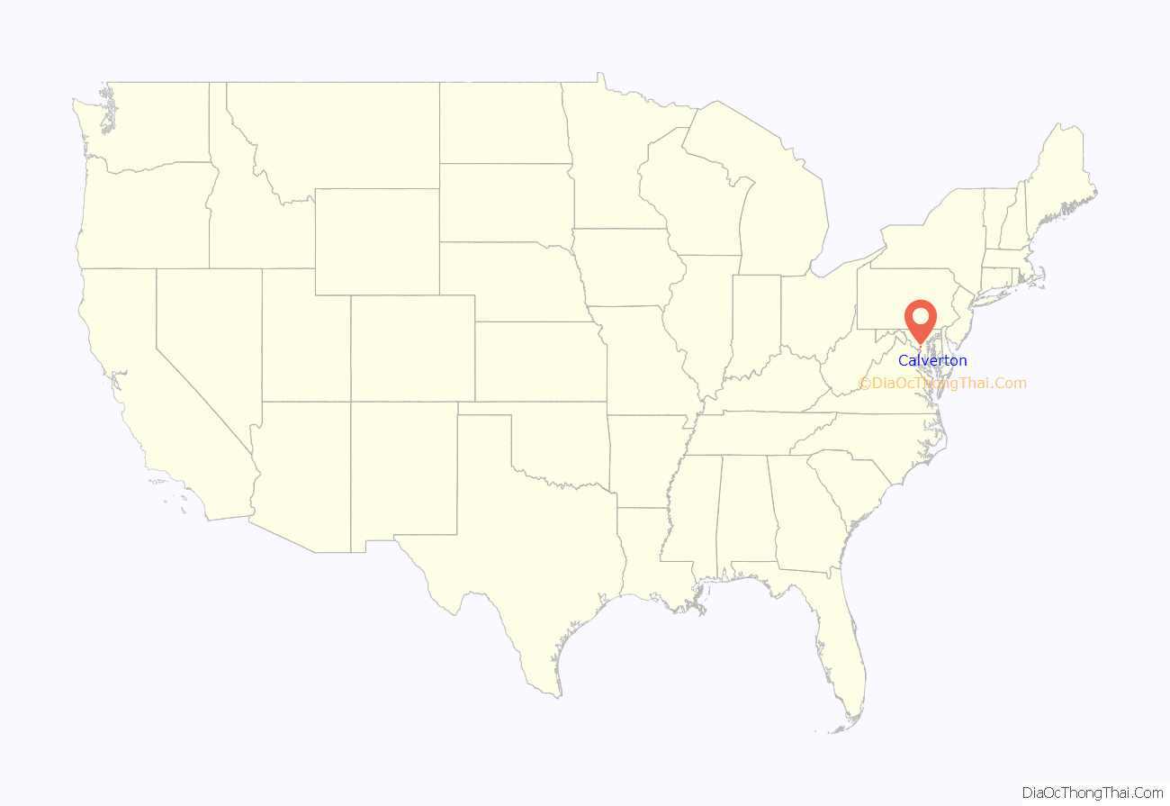
Calverton is an unincorporated area and census-designated place located on the boundary between Montgomery and Prince George’s counties, Maryland, in the United States. At the 2020 census, it had a population of 17,316.
| Name: | Calverton CDP |
|---|---|
| LSAD Code: | 57 |
| LSAD Description: | CDP (suffix) |
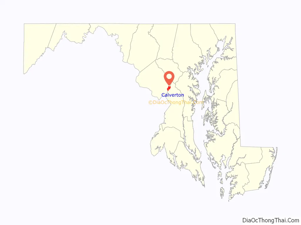
| State: | Maryland |
| County: | Montgomery County, Prince George’s County |
| Elevation: | 276 ft (84 m) |
| Total Area: | 4.60 sq mi (11.90 km²) |
| Land Area: | 4.58 sq mi (11.85 km²) |
| Water Area: | 0.02 sq mi (0.05 km²) |
| Total Population: | 17,316 |
| Population Density: | 3,784.09/sq mi (1,461.08/km²) |
| Area code: | 301, 240 |
| FIPS code: | 2412350 |
Online Interactive Map
Click on ![]() to view map in "full screen" mode.
to view map in "full screen" mode.
Calverton location map. Where is Calverton CDP?
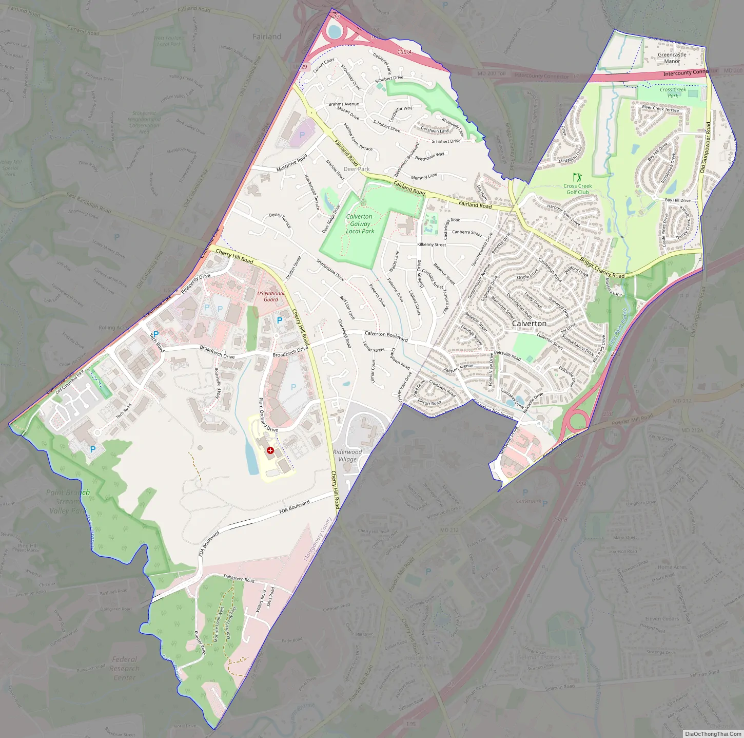
Calverton Road Map
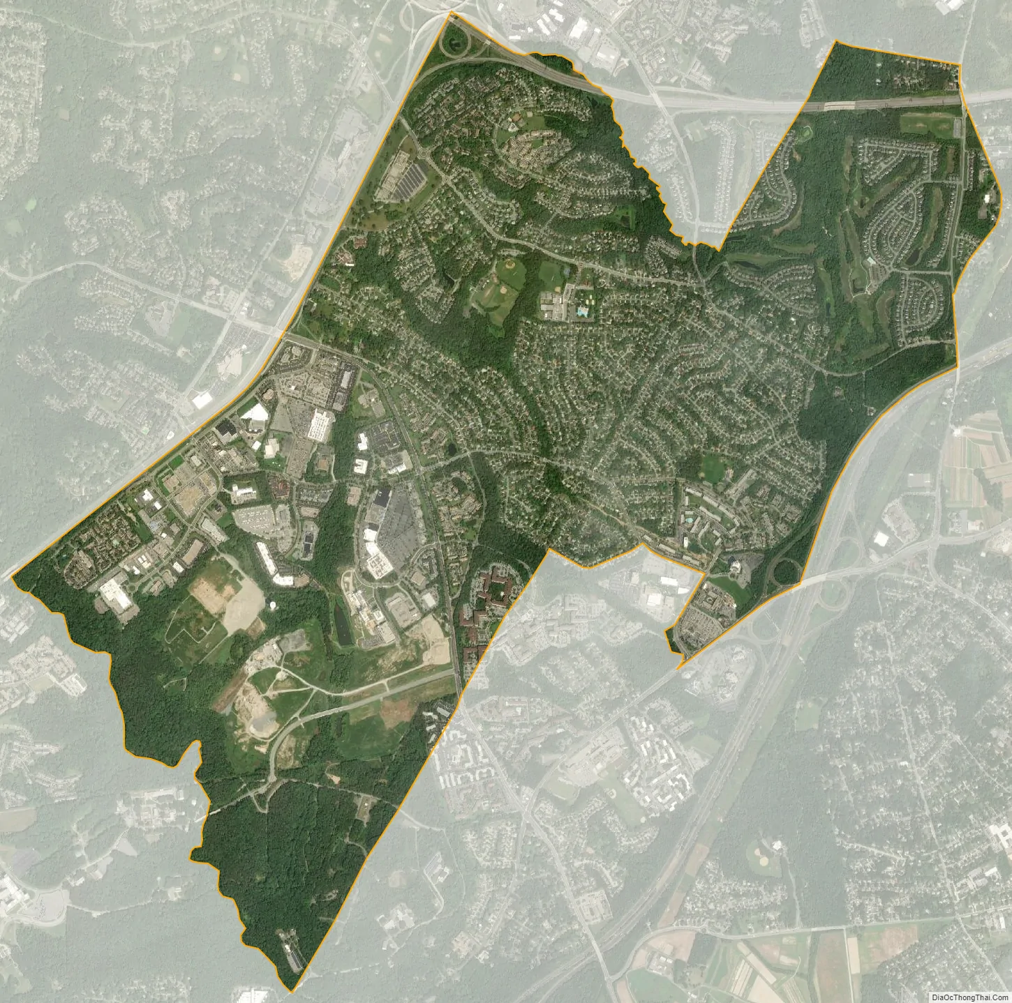
Calverton city Satellite Map
Geography
As an unincorporated area, Calverton’s boundaries are not officially defined. Calverton is, however, recognized by the United States Census Bureau as a census-designated place, and by the United States Geological Survey as a populated place located at 39°3′25″N 76°56′41″W / 39.05694°N 76.94472°W / 39.05694; -76.94472 (39.057009, −76.944805) and is part of the Baltimore/Washington area. Calverton is located between Beltsville and Silver Spring, with Laurel, Hillandale and Adelphi being in close proximity. The Prince George’s County side of Calverton (postal code 20705) is a neighborhood of Beltsville, while the Montgomery County side (postal code 20904) identifies with Silver Spring.
According to the United States Census Bureau, Calverton has a total area of 4.6 square miles (12.0 km), of which 0.02 square miles (0.05 km), or 0.44%, is water.
See also
Map of Maryland State and its subdivision: Map of other states:- Alabama
- Alaska
- Arizona
- Arkansas
- California
- Colorado
- Connecticut
- Delaware
- District of Columbia
- Florida
- Georgia
- Hawaii
- Idaho
- Illinois
- Indiana
- Iowa
- Kansas
- Kentucky
- Louisiana
- Maine
- Maryland
- Massachusetts
- Michigan
- Minnesota
- Mississippi
- Missouri
- Montana
- Nebraska
- Nevada
- New Hampshire
- New Jersey
- New Mexico
- New York
- North Carolina
- North Dakota
- Ohio
- Oklahoma
- Oregon
- Pennsylvania
- Rhode Island
- South Carolina
- South Dakota
- Tennessee
- Texas
- Utah
- Vermont
- Virginia
- Washington
- West Virginia
- Wisconsin
- Wyoming


