Benedict is an unincorporated town and census-designated place in Charles County, Maryland, United States, located on the Patuxent River in southern Maryland. As of the 2010 census, it had a population of 261.
| Name: | Benedict CDP |
|---|---|
| LSAD Code: | 57 |
| LSAD Description: | CDP (suffix) |
| State: | Maryland |
| County: | Charles County |
| Total Area: | 0.23 sq mi (0.60 km²) |
| Land Area: | 0.23 sq mi (0.60 km²) |
| Water Area: | 0.00 sq mi (0.00 km²) |
| Total Population: | 232 |
| Population Density: | 995.71/sq mi (383.63/km²) |
| ZIP code: | 20612 |
| FIPS code: | 2406550 |
| GNISfeature ID: | 583152 |
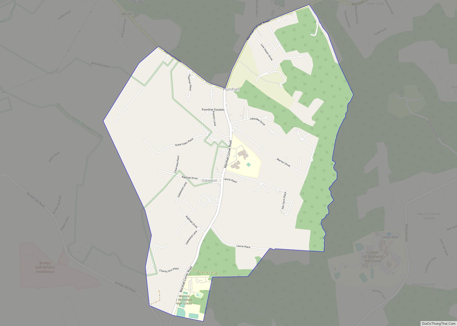
Online Interactive Map
Click on ![]() to view map in "full screen" mode.
to view map in "full screen" mode.
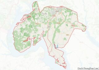
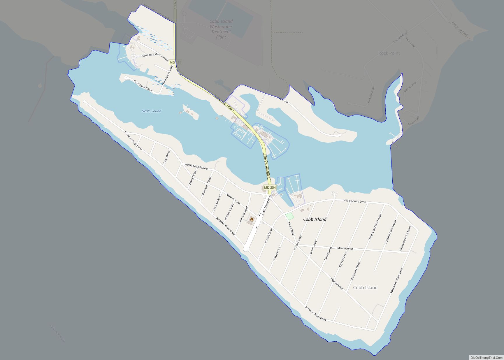
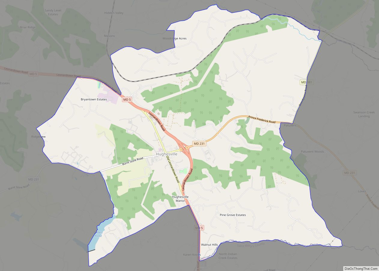
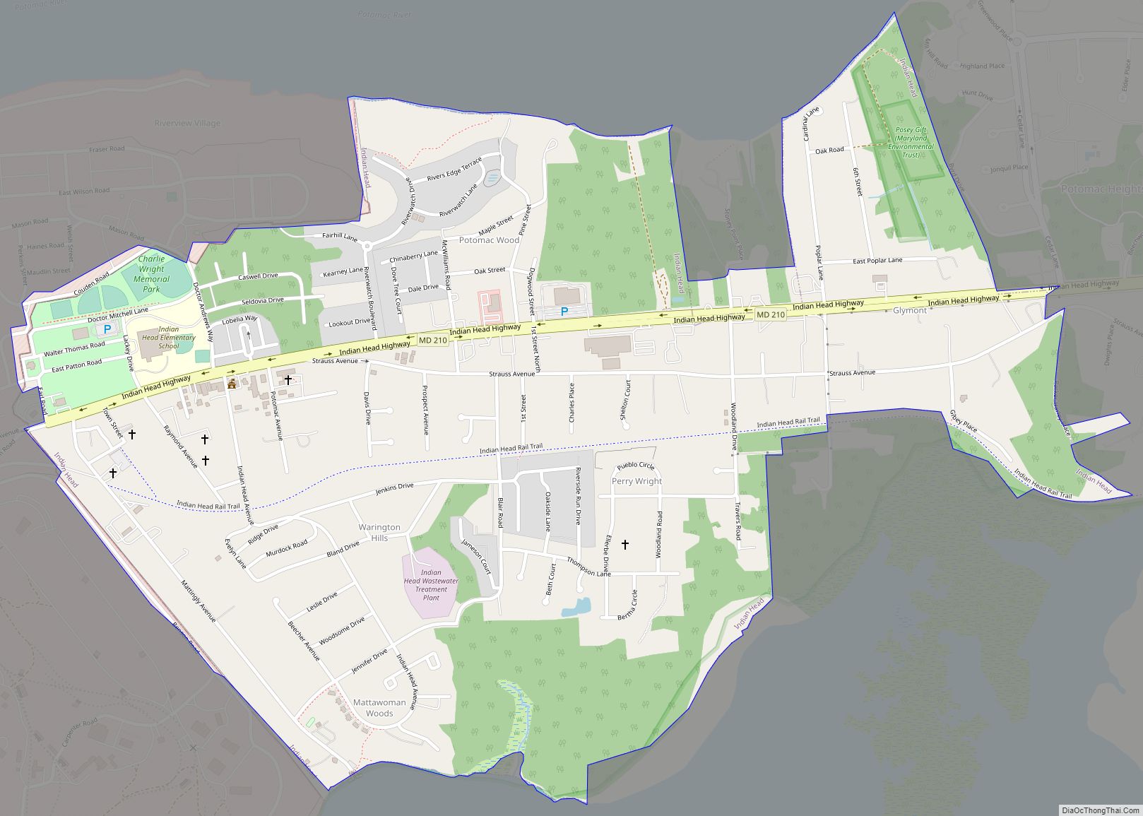
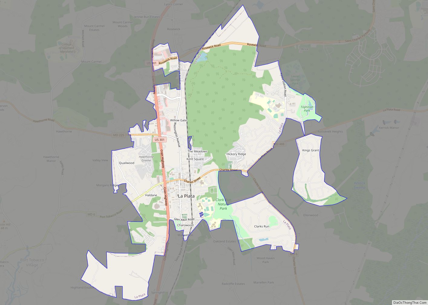
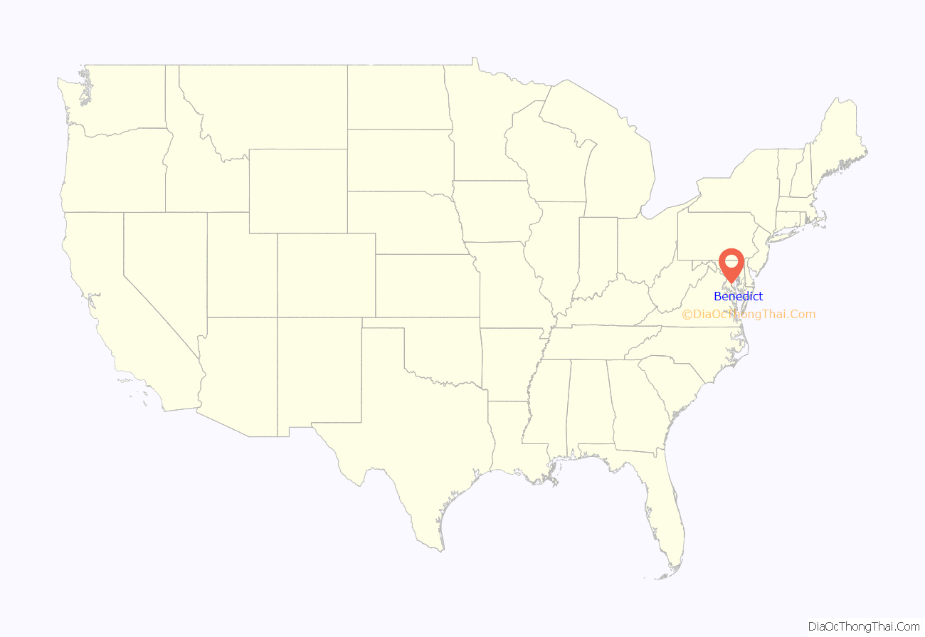
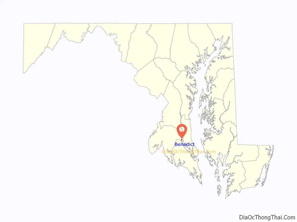
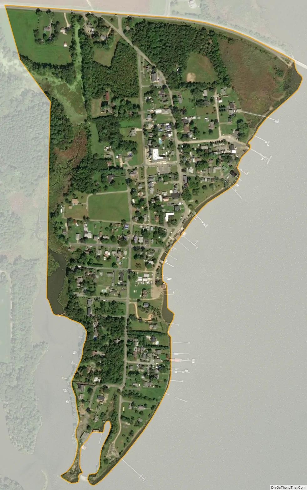
Benedict location map. Where is Benedict CDP?
History
Originally a fishing village along the Patuxent River in the southern Province of Maryland in the late 17th century, it was named Benedict-Leonardtown for Benedict Leonard Calvert, (1700-1732), 15th Proprietary Governor of Maryland, serving under his older brother, Charles Calvert, 5th Baron and Lord Baltimore, (1699-1751).
War of 1812
In the War of 1812, Benedict was the location where the British Army led by General Robert Ross landed on August 18, 1814, after having fought fierce naval battles with American naval forces in the Patuxent. From Benedict, the British began their march to Washington, D.C., routing a larger American force at the Battle of Bladensburg before ultimately burning the capital. Following this, they failed to capture Baltimore in the Battle of Baltimore.
Civil War
Benedict was the site of Camp Stanton, constructed in October 1863 for the Maryland 7th Regiment. Camp Stanton was also the location where the Maryland 19th Regiment of the United States Colored Troops was formed on December 19, 1863, with freed slaves who were purchased for their freedom by the United States Government to serve as soldiers. This unit distinguished itself at the Battle of the Wilderness. Some of its members included the Rev. William Saunders Crowdy and his brother Daniel, of a plantation in St. Mary’s County.
A school was established on the site to educate the black soldiers, most of whom had received no education when they were slaves. The school was run by Samuel C. Armstrong.
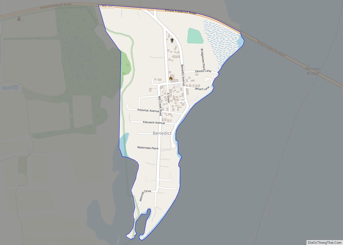
Benedict Road Map
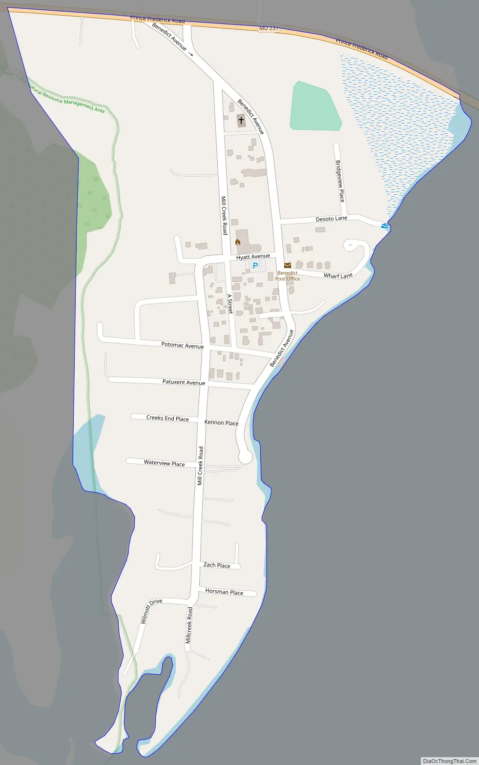
Benedict city Satellite Map
See also
Map of Maryland State and its subdivision: Map of other states:- Alabama
- Alaska
- Arizona
- Arkansas
- California
- Colorado
- Connecticut
- Delaware
- District of Columbia
- Florida
- Georgia
- Hawaii
- Idaho
- Illinois
- Indiana
- Iowa
- Kansas
- Kentucky
- Louisiana
- Maine
- Maryland
- Massachusetts
- Michigan
- Minnesota
- Mississippi
- Missouri
- Montana
- Nebraska
- Nevada
- New Hampshire
- New Jersey
- New Mexico
- New York
- North Carolina
- North Dakota
- Ohio
- Oklahoma
- Oregon
- Pennsylvania
- Rhode Island
- South Carolina
- South Dakota
- Tennessee
- Texas
- Utah
- Vermont
- Virginia
- Washington
- West Virginia
- Wisconsin
- Wyoming