Brookmont is a census-designated place and an unincorporated area in Montgomery County, Maryland, United States. Brookmont is often considered part of neighboring Bethesda because it falls within Bethesda’s 20816 zip code.
| Name: | Brookmont CDP |
|---|---|
| LSAD Code: | 57 |
| LSAD Description: | CDP (suffix) |
| State: | Maryland |
| County: | Montgomery County |
| Elevation: | 121 ft (37 m) |
| Total Area: | 1.97 sq mi (5.11 km²) |
| Land Area: | 1.31 sq mi (3.40 km²) |
| Water Area: | 0.66 sq mi (1.72 km²) |
| Total Population: | 3,751 |
| Population Density: | 2,861.17/sq mi (1,104.68/km²) |
| FIPS code: | 2410500 |
| GNISfeature ID: | 0589828 |
Online Interactive Map
Click on ![]() to view map in "full screen" mode.
to view map in "full screen" mode.
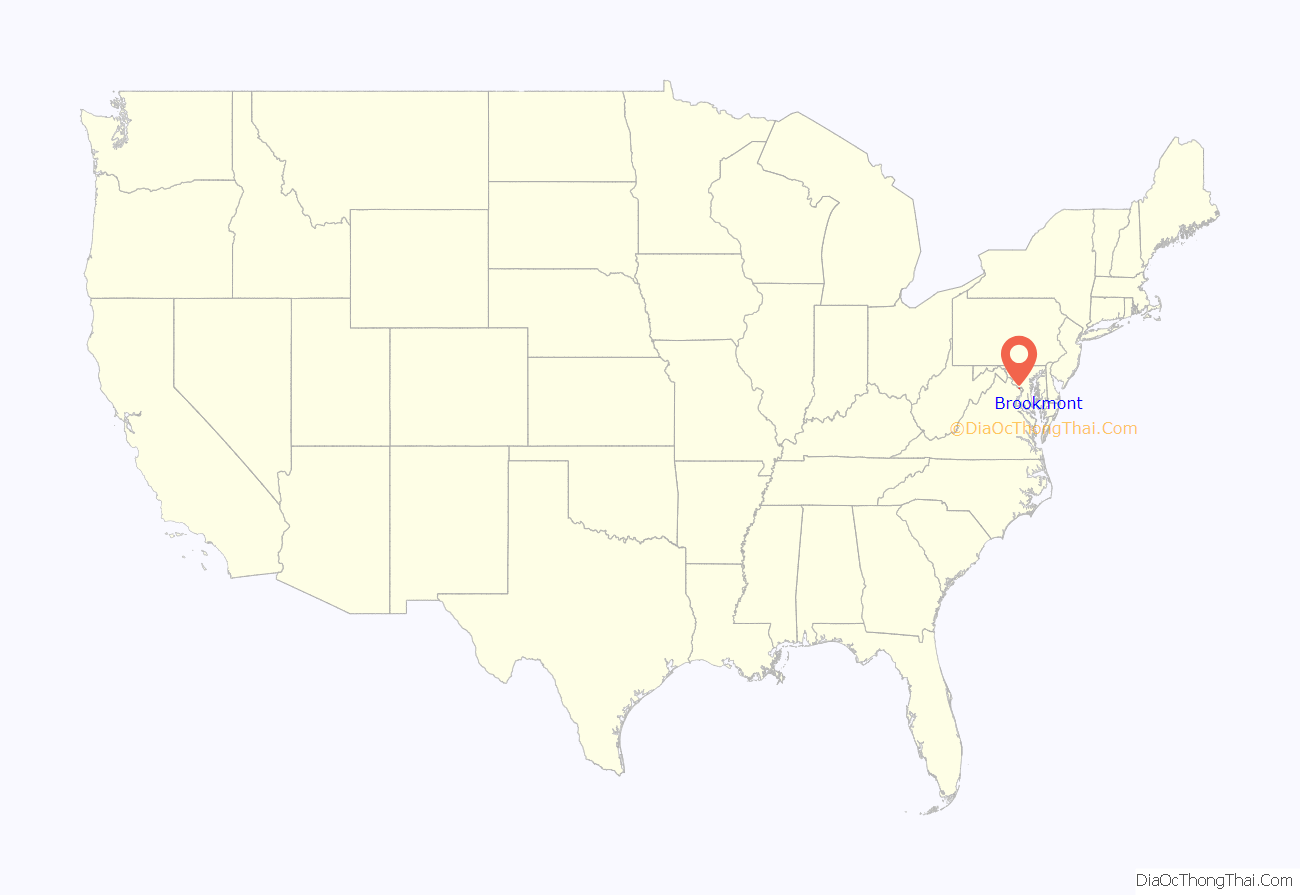
Brookmont location map. Where is Brookmont CDP?
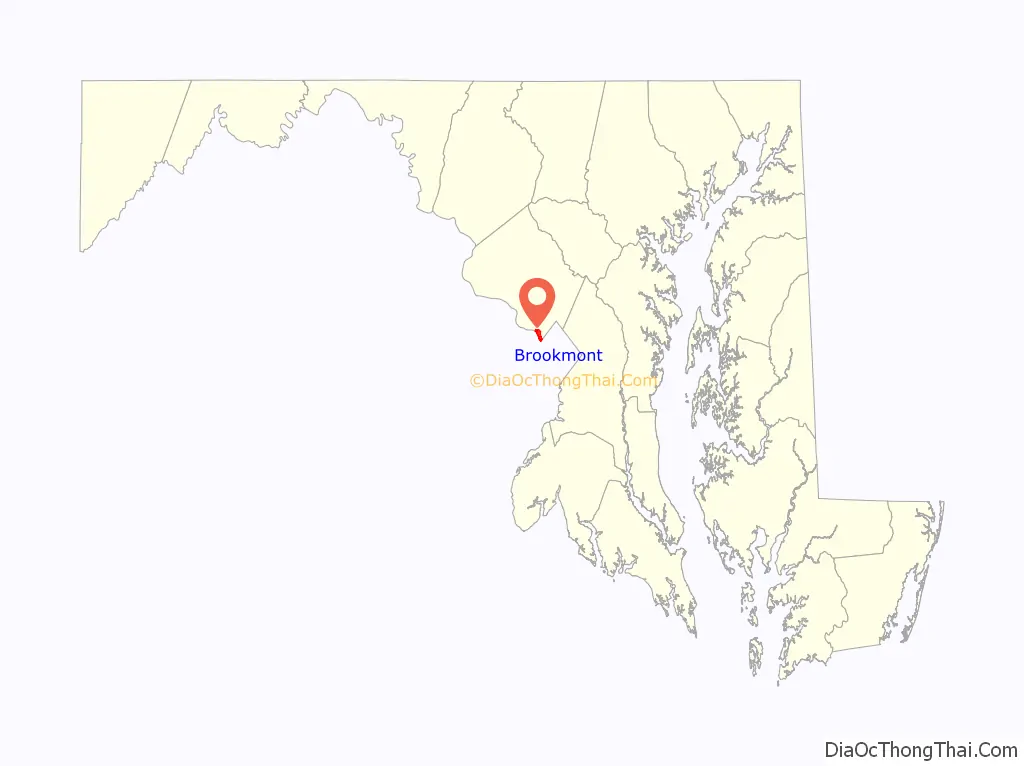
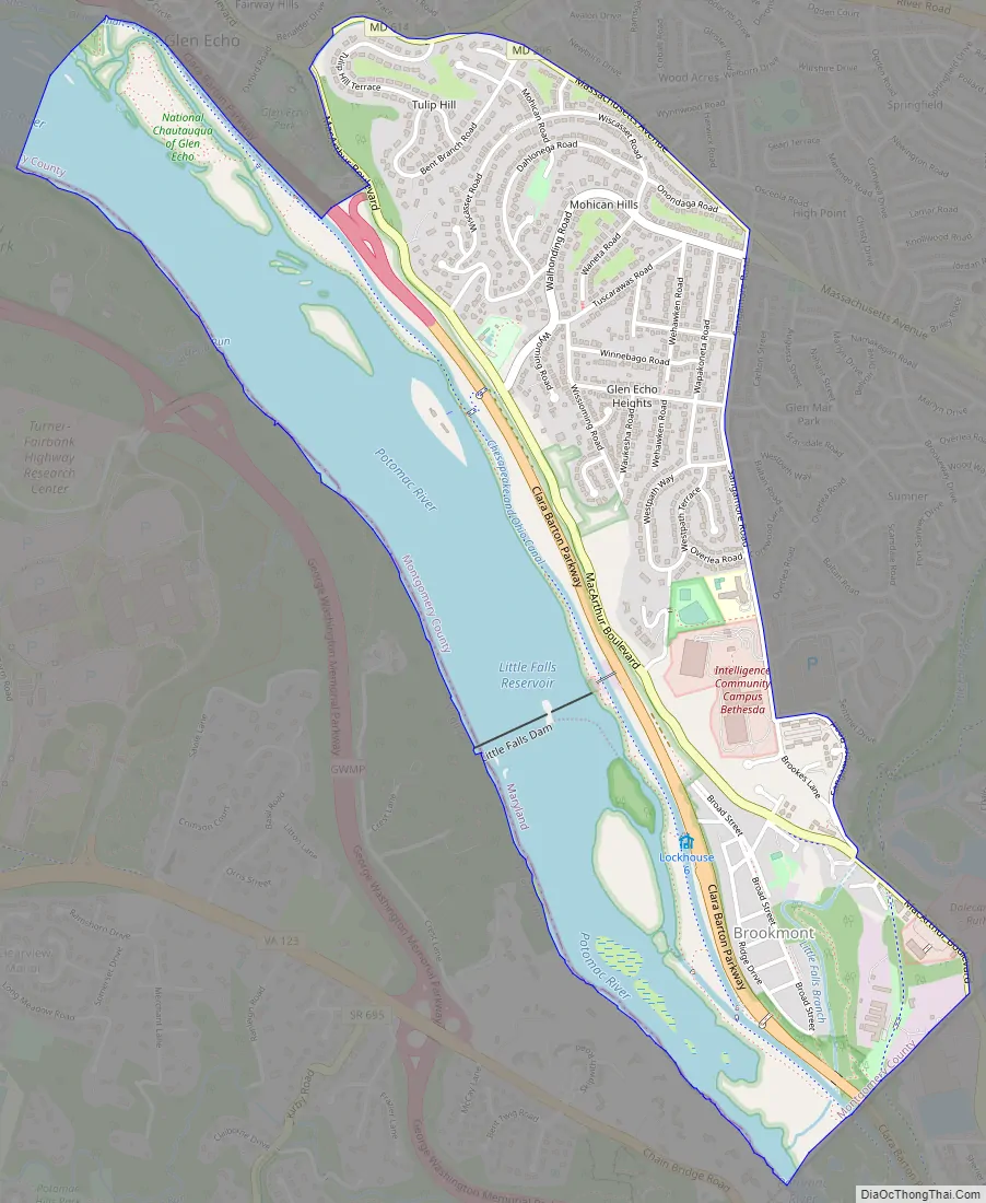
Brookmont Road Map
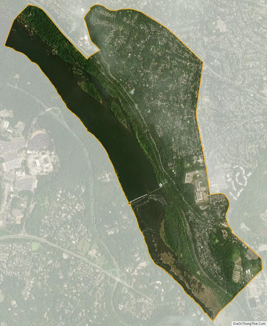
Brookmont city Satellite Map
Geography
As an unincorporated area, Brookmont’s boundaries are not officially defined. Brookmont is, however, recognized by the United States Census Bureau as a census-designated place, and by the United States Geological Survey as a populated place located at 38°57′21″N 77°7′38″W / 38.95583°N 77.12722°W / 38.95583; -77.12722 (38.955810, −77.127094).
According to the United States Census Bureau, the place has a total area of 2.0 square miles (5.2 km), of which 1.4 square miles (3.6 km) is land and 0.6 square miles (1.6 km) (30.96%) is water.
See also
Map of Maryland State and its subdivision: Map of other states:- Alabama
- Alaska
- Arizona
- Arkansas
- California
- Colorado
- Connecticut
- Delaware
- District of Columbia
- Florida
- Georgia
- Hawaii
- Idaho
- Illinois
- Indiana
- Iowa
- Kansas
- Kentucky
- Louisiana
- Maine
- Maryland
- Massachusetts
- Michigan
- Minnesota
- Mississippi
- Missouri
- Montana
- Nebraska
- Nevada
- New Hampshire
- New Jersey
- New Mexico
- New York
- North Carolina
- North Dakota
- Ohio
- Oklahoma
- Oregon
- Pennsylvania
- Rhode Island
- South Carolina
- South Dakota
- Tennessee
- Texas
- Utah
- Vermont
- Virginia
- Washington
- West Virginia
- Wisconsin
- Wyoming


