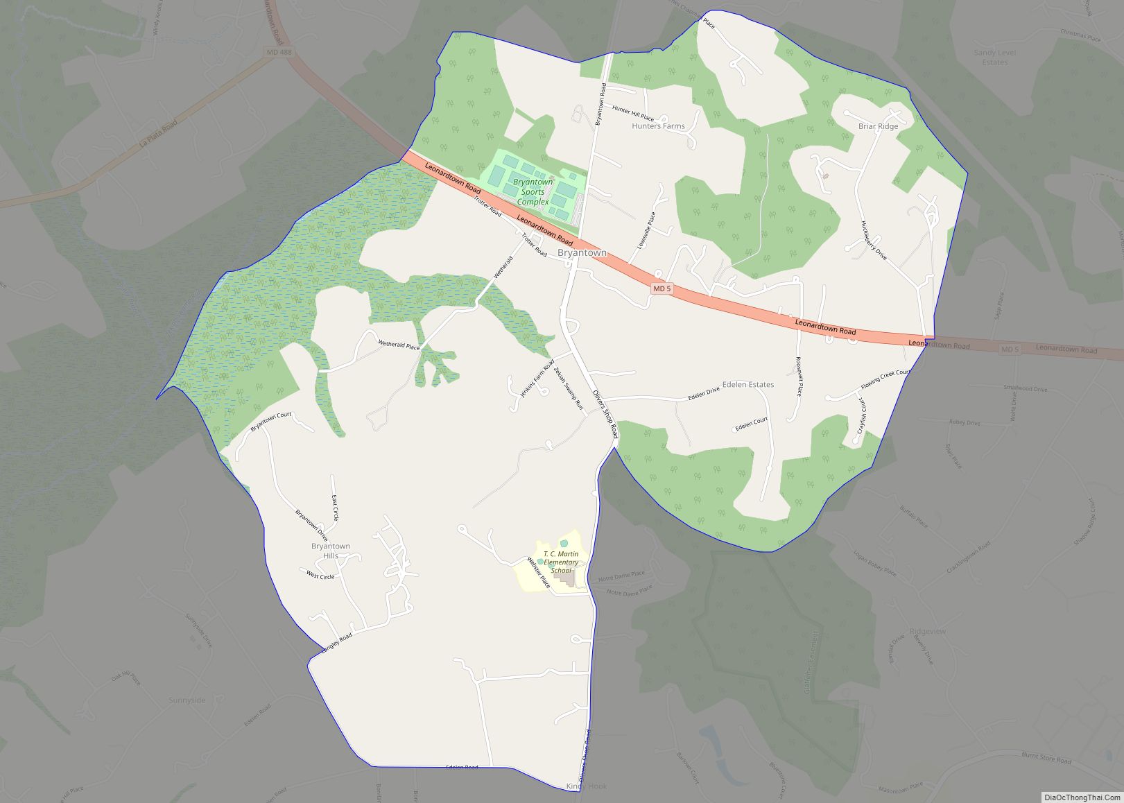
Bryantown is an unincorporated community and census-designated place in Charles County, Maryland, United States, adjacent to Maryland Route 5. As of the 2010 census, it had a population of 655.
Bryantown stands on land known as Boarman’s Manor, a 4,000-acre (16 km) manor granted to Major William Boarman in 1674. Bryantown is associated with the flight in 1865 of President Abraham Lincoln’s assassin John Wilkes Booth, and its St. Mary’s Catholic Church is the burial place of Dr. Samuel Mudd, who lived 5 miles (8.0 km) to the north, and who in November 1864 had first met Booth at the church.
Oakland was listed on the National Register of Historic Places in 1983. The Bryantown Historic District was listed in 1985, and The Lindens in 1990.
| Name: | Bryantown CDP |
|---|---|
| LSAD Code: | 57 |
| LSAD Description: | CDP (suffix) |
| State: | Maryland |
| County: | Charles County |
| Total Area: | 4.15 sq mi (10.74 km²) |
| Land Area: | 4.14 sq mi (10.73 km²) |
| Water Area: | 0.00 sq mi (0.00 km²) |
| Total Population: | 653 |
| Population Density: | 157.58/sq mi (60.84/km²) |
| ZIP code: | 20617 |
| Area code: | 301 |
| FIPS code: | 2410950 |
| GNISfeature ID: | 589841 |
Online Interactive Map
Click on ![]() to view map in "full screen" mode.
to view map in "full screen" mode.
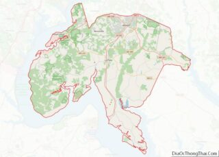
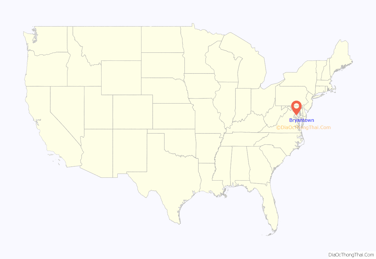
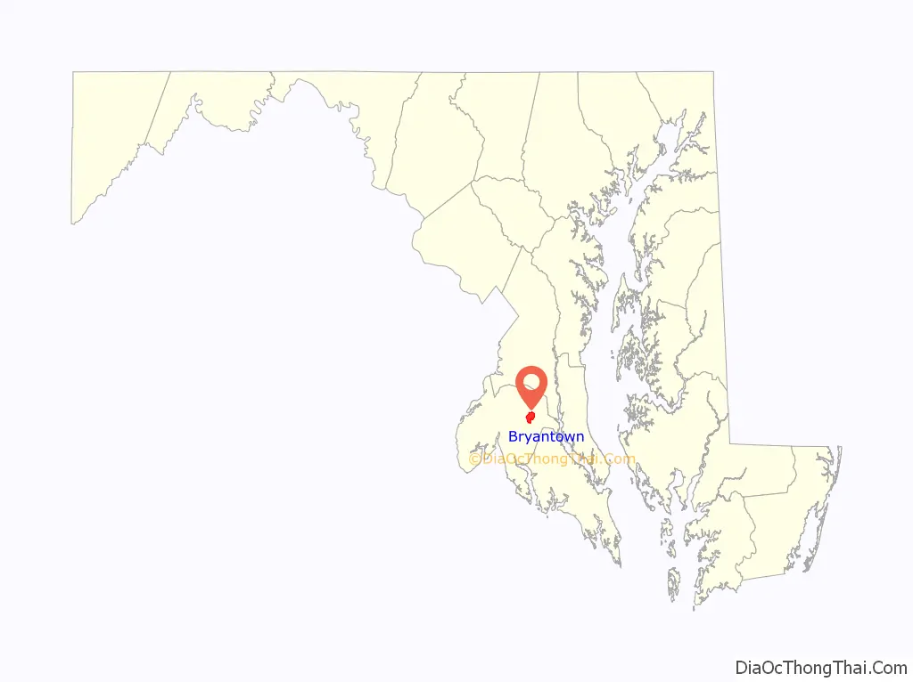
Bryantown location map. Where is Bryantown CDP?
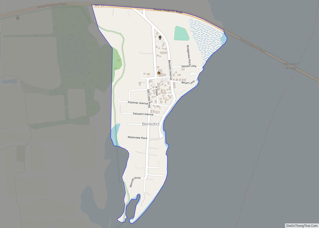
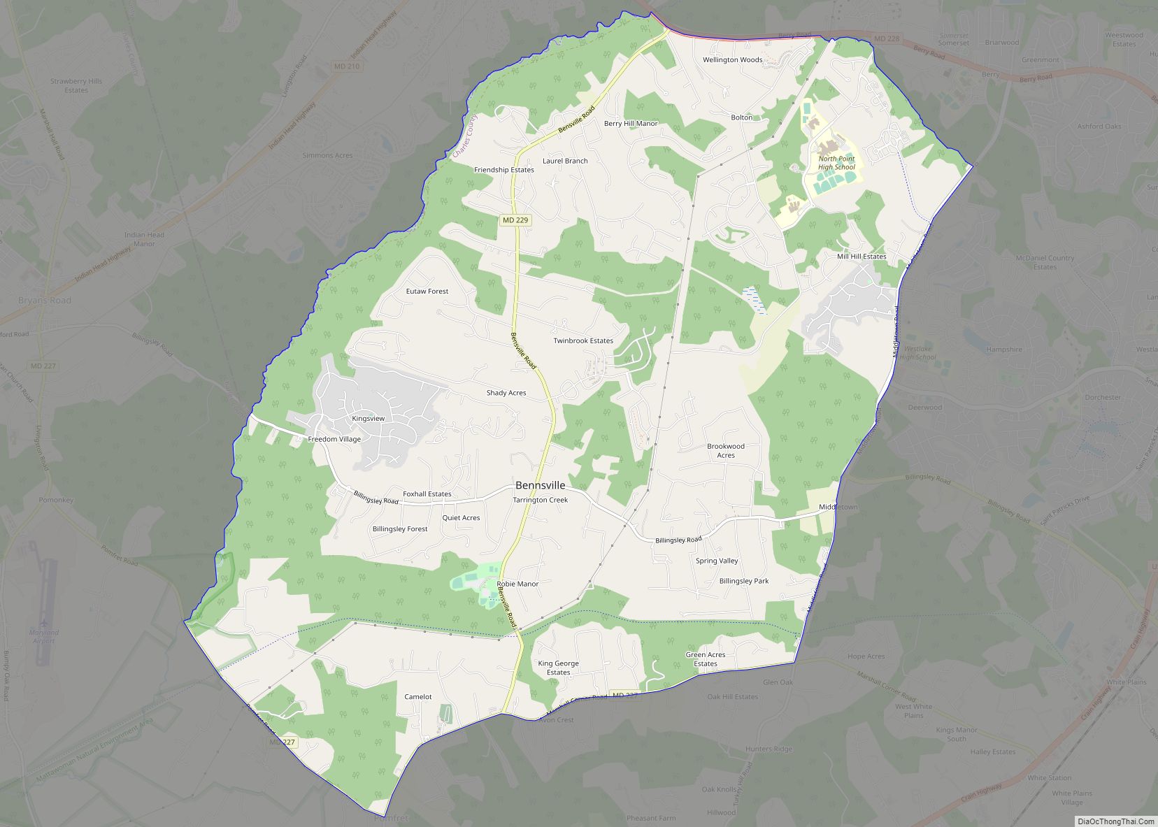
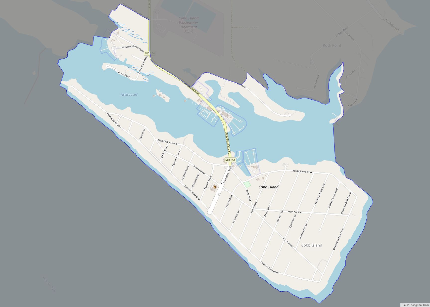
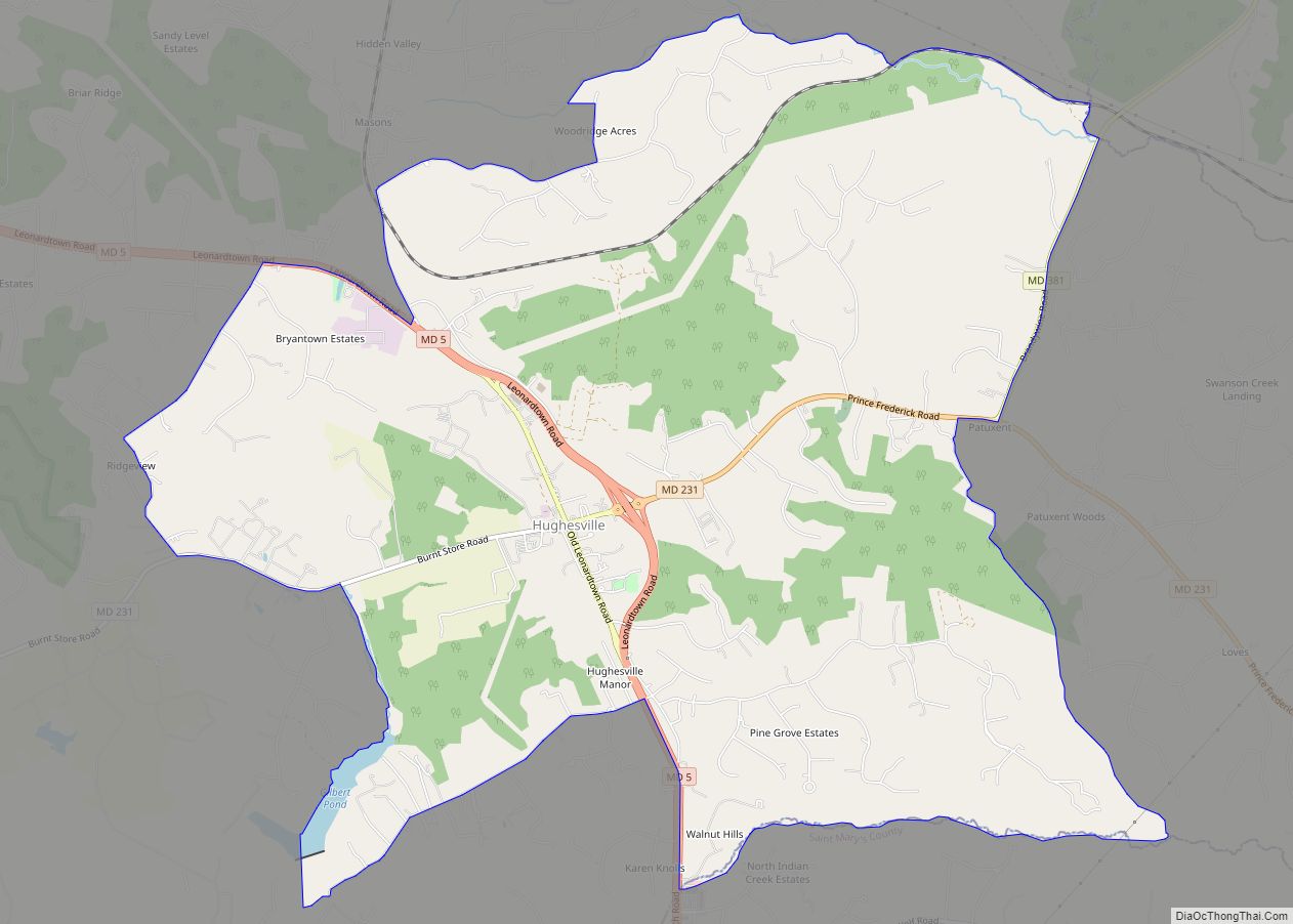
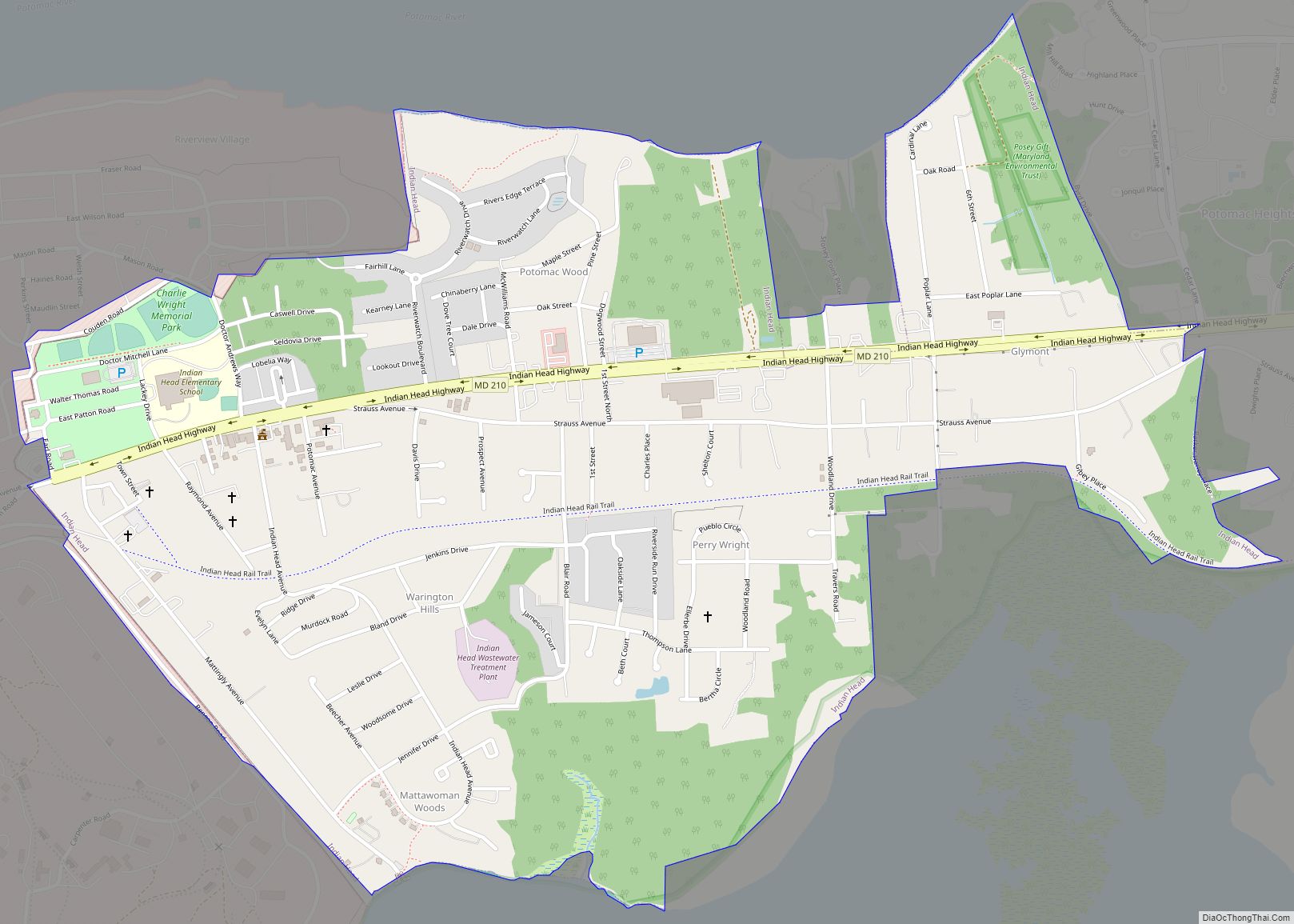
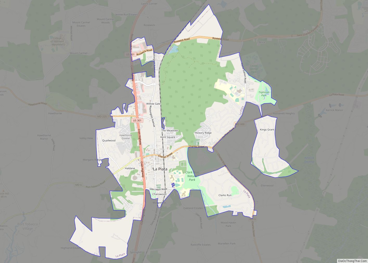
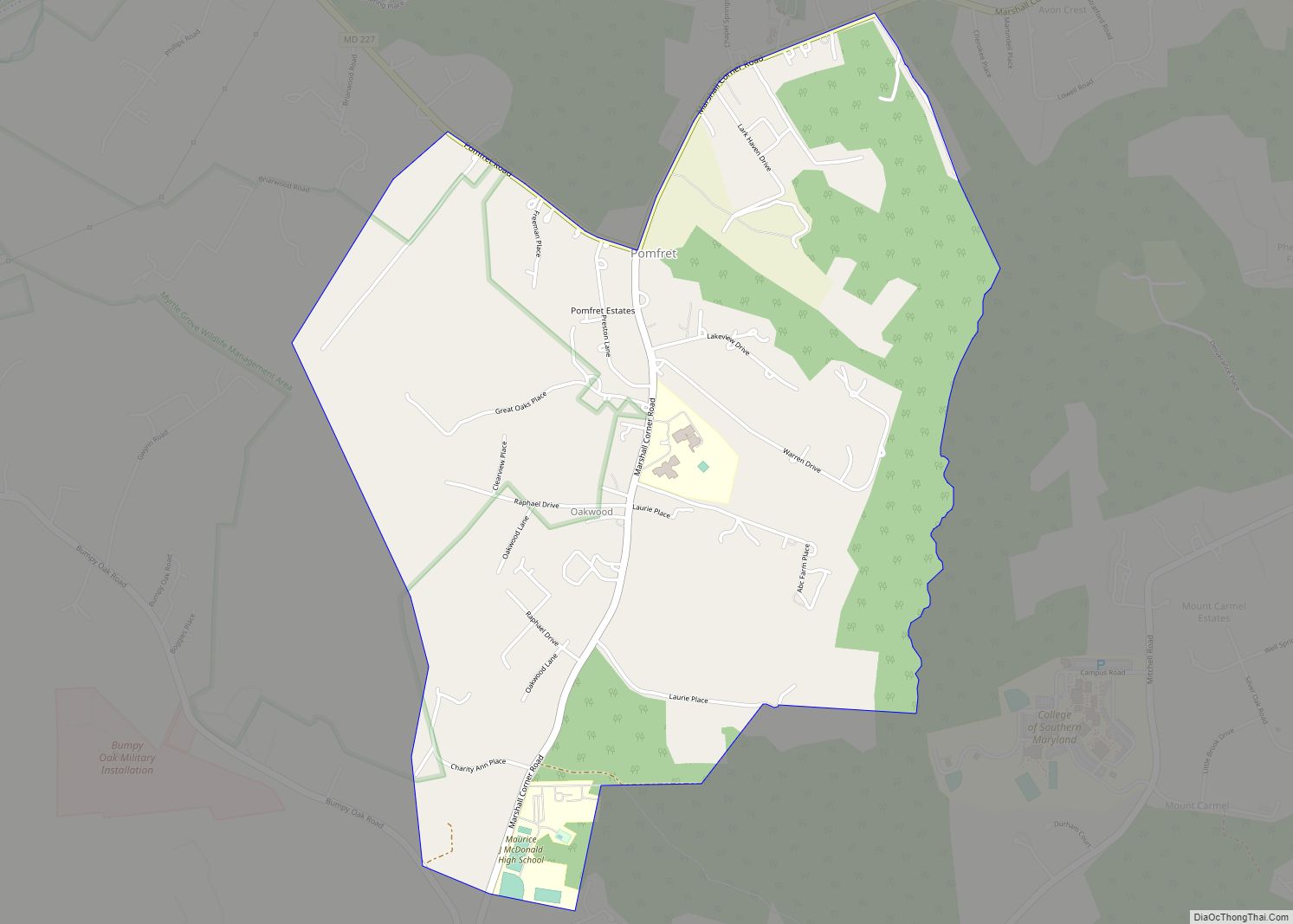
Bryantown Road Map
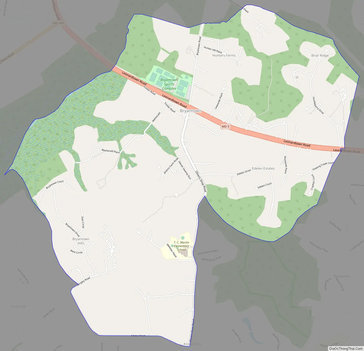
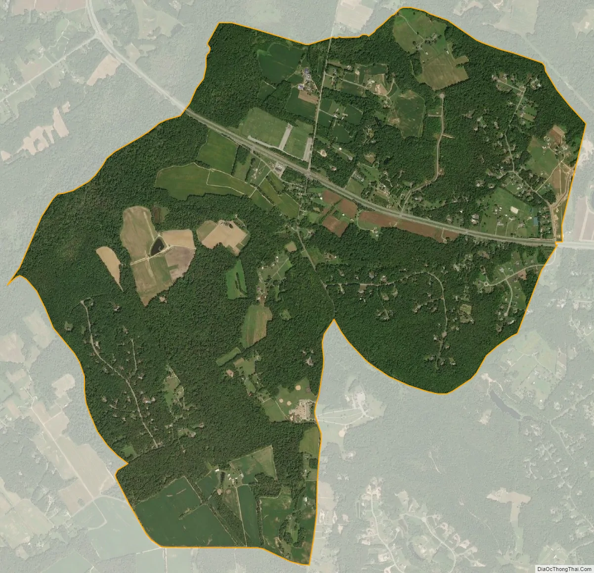
Bryantown city Satellite Map
See also
Map of Maryland State and its subdivision: Map of other states:- Alabama
- Alaska
- Arizona
- Arkansas
- California
- Colorado
- Connecticut
- Delaware
- District of Columbia
- Florida
- Georgia
- Hawaii
- Idaho
- Illinois
- Indiana
- Iowa
- Kansas
- Kentucky
- Louisiana
- Maine
- Maryland
- Massachusetts
- Michigan
- Minnesota
- Mississippi
- Missouri
- Montana
- Nebraska
- Nevada
- New Hampshire
- New Jersey
- New Mexico
- New York
- North Carolina
- North Dakota
- Ohio
- Oklahoma
- Oregon
- Pennsylvania
- Rhode Island
- South Carolina
- South Dakota
- Tennessee
- Texas
- Utah
- Vermont
- Virginia
- Washington
- West Virginia
- Wisconsin
- Wyoming