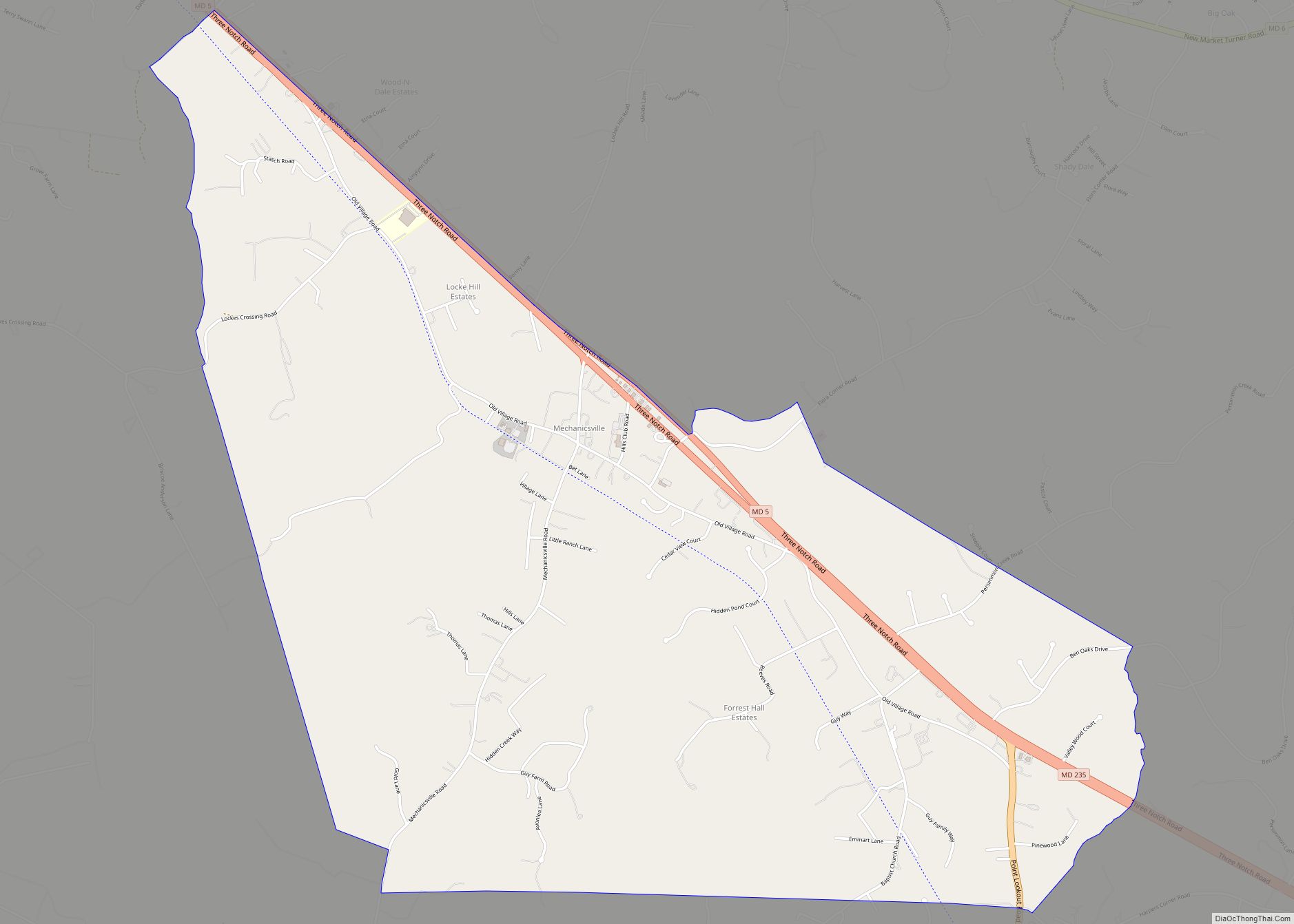
Charlotte Hall is a census-designated place (CDP) in Charles and St. Mary’s counties, Maryland, United States. The population was 1,420 at the 2010 census. The Maryland Veterans Home for disabled veterans, including a U.S. Veterans Affairs clinic, is located on the site of the former Charlotte Hall Military Academy. The Academy site was declared the Charlotte Hall Historic District, and listed on the National Register of Historic Places in 1975. Since 1940, a sizable Amish farming community has existed nearby, along with a farmers’ market and large flea market complex on Maryland Route 5, which is also the site of numerous strip-mall businesses continuing into the adjacent community of Mechanicsville.
| Name: | Charlotte Hall CDP |
|---|---|
| LSAD Code: | 57 |
| LSAD Description: | CDP (suffix) |
| State: | Maryland |
| County: | St. Mary’s County |
| Elevation: | 164 ft (50 m) |
| Total Area: | 5.07 sq mi (13.13 km²) |
| Land Area: | 5.06 sq mi (13.11 km²) |
| Water Area: | 0.01 sq mi (0.02 km²) |
| Total Population: | 1,388 |
| Population Density: | 274.15/sq mi (105.86/km²) |
| FIPS code: | 2415475 |
| GNISfeature ID: | 0594648 |
Online Interactive Map
Click on ![]() to view map in "full screen" mode.
to view map in "full screen" mode.
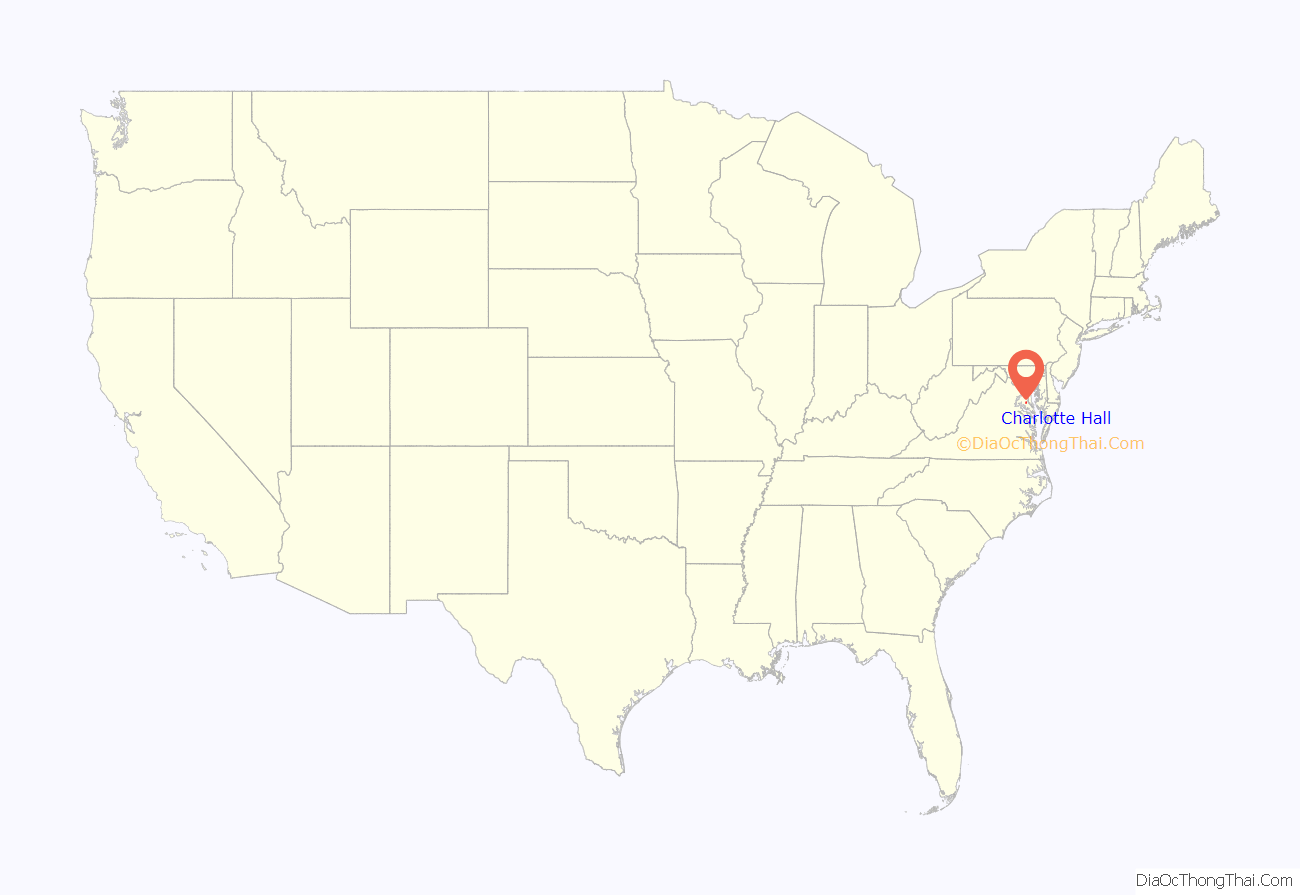
Charlotte Hall location map. Where is Charlotte Hall CDP?
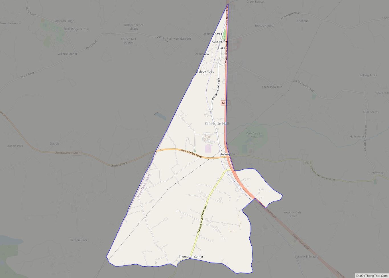
Charlotte Hall Road Map
Charlotte Hall city Satellite Map
Geography
Charlotte Hall is located at 38°28′38″N 76°46′35″W / 38.47722°N 76.77639°W / 38.47722; -76.77639 (38.477210, −76.776323).
According to the United States Census Bureau, the CDP has a total area of 5.1 square miles (13 km), all land.
See also
Map of Maryland State and its subdivision: Map of other states:- Alabama
- Alaska
- Arizona
- Arkansas
- California
- Colorado
- Connecticut
- Delaware
- District of Columbia
- Florida
- Georgia
- Hawaii
- Idaho
- Illinois
- Indiana
- Iowa
- Kansas
- Kentucky
- Louisiana
- Maine
- Maryland
- Massachusetts
- Michigan
- Minnesota
- Mississippi
- Missouri
- Montana
- Nebraska
- Nevada
- New Hampshire
- New Jersey
- New Mexico
- New York
- North Carolina
- North Dakota
- Ohio
- Oklahoma
- Oregon
- Pennsylvania
- Rhode Island
- South Carolina
- South Dakota
- Tennessee
- Texas
- Utah
- Vermont
- Virginia
- Washington
- West Virginia
- Wisconsin
- Wyoming
