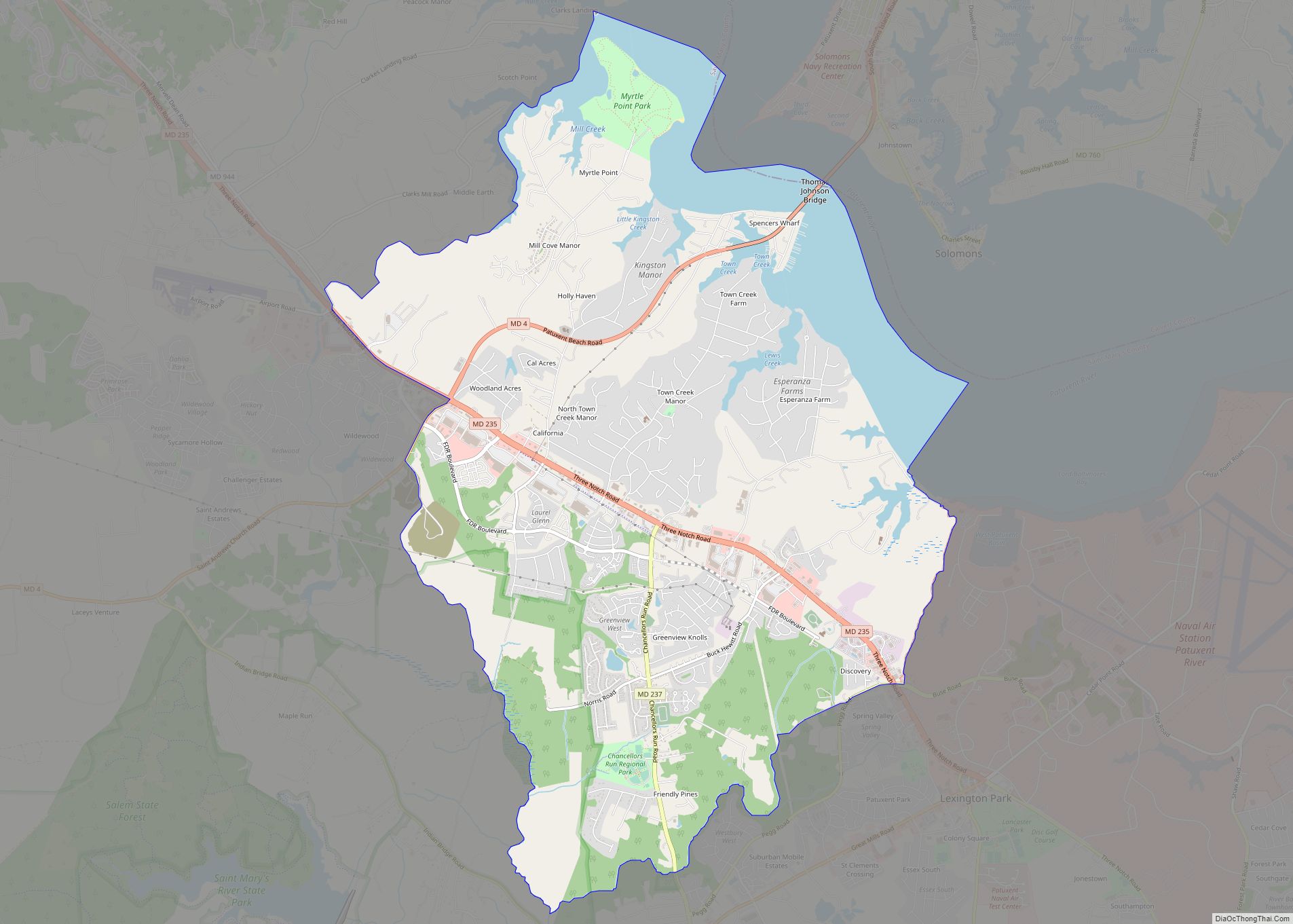
California is a census-designated place and community in St. Mary’s County, Maryland, United States. The population was 11,857 at the 2010 census, an increase of 27.4% from the 2000 census. California has been growing with the spread of population from the older adjacent community of Lexington Park and the growth in both technology-related and defense-related jobs at the Patuxent River Naval Air Station. There are department stores and numerous shopping centers situated along Maryland Highway 235 (“Three Notch Road”). Maryland Route 4 crosses Highway 235 in California, providing access to the wide Governor Thomas Johnson Bridge and the popular weekend resort town of Solomons on its opposite side. Bridge-bound traffic is notorious for backing up during rush hour.
| Name: | California CDP |
|---|---|
| LSAD Code: | 57 |
| LSAD Description: | CDP (suffix) |
| State: | Maryland |
| County: | St. Mary’s County |
| Elevation: | 105 ft (33 m) |
| Total Area: | 14.98 sq mi (38.80 km²) |
| Land Area: | 12.87 sq mi (33.32 km²) |
| Water Area: | 2.11 sq mi (5.48 km²) |
| Total Population: | 12,947 |
| Population Density: | 1,006.30/sq mi (388.53/km²) |
| ZIP code: | 20619 |
| Area code: | 301, 240 |
| FIPS code: | 2412150 |
| GNISfeature ID: | 0594621 |
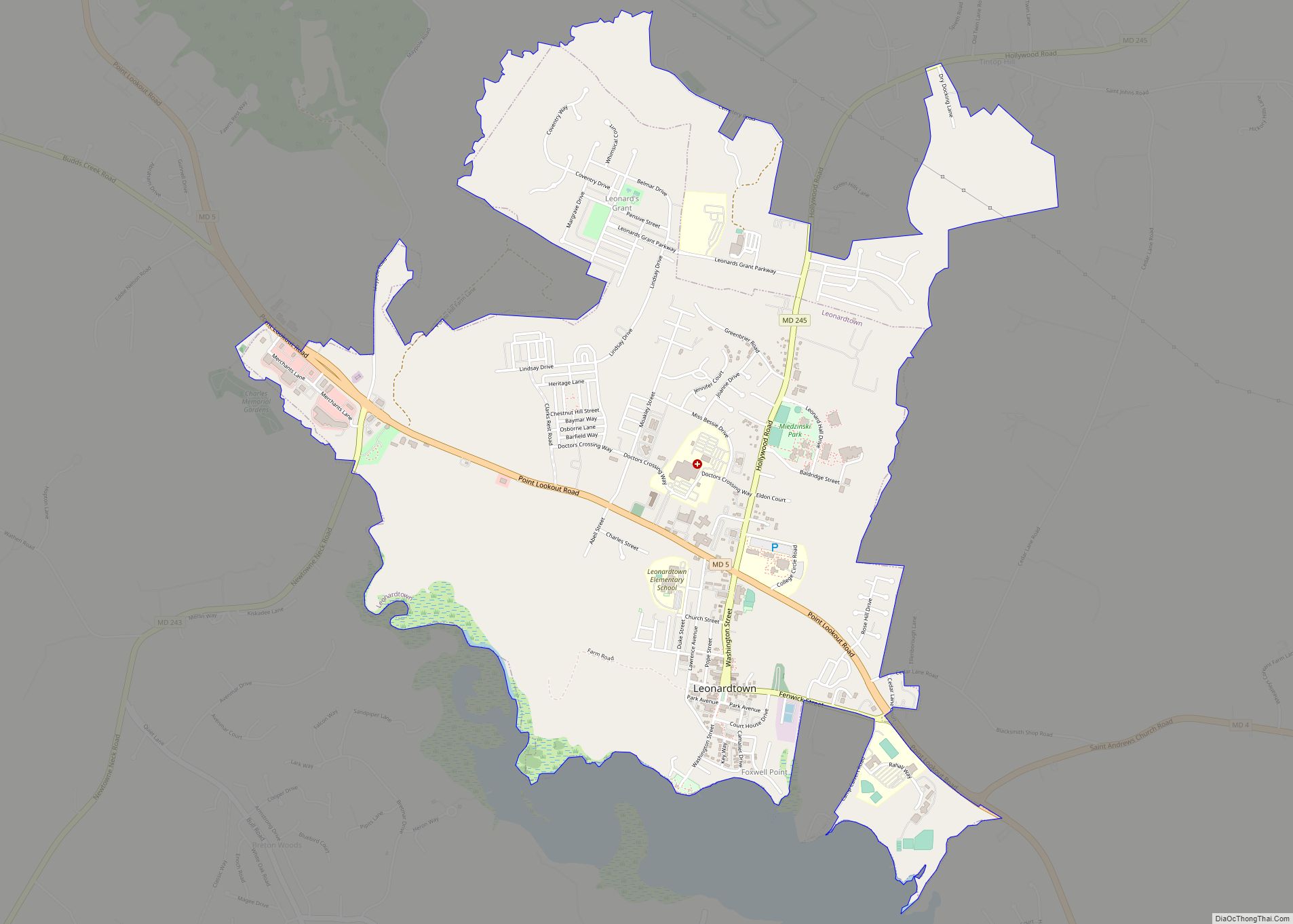
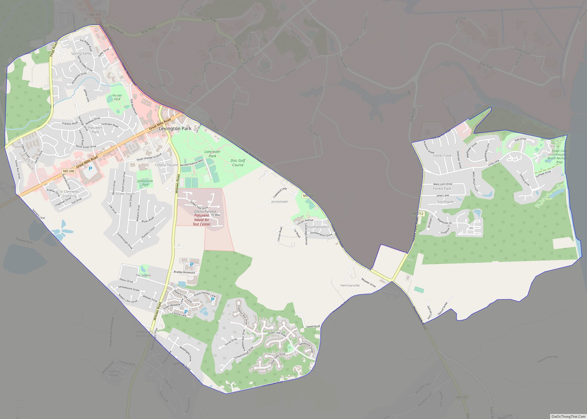
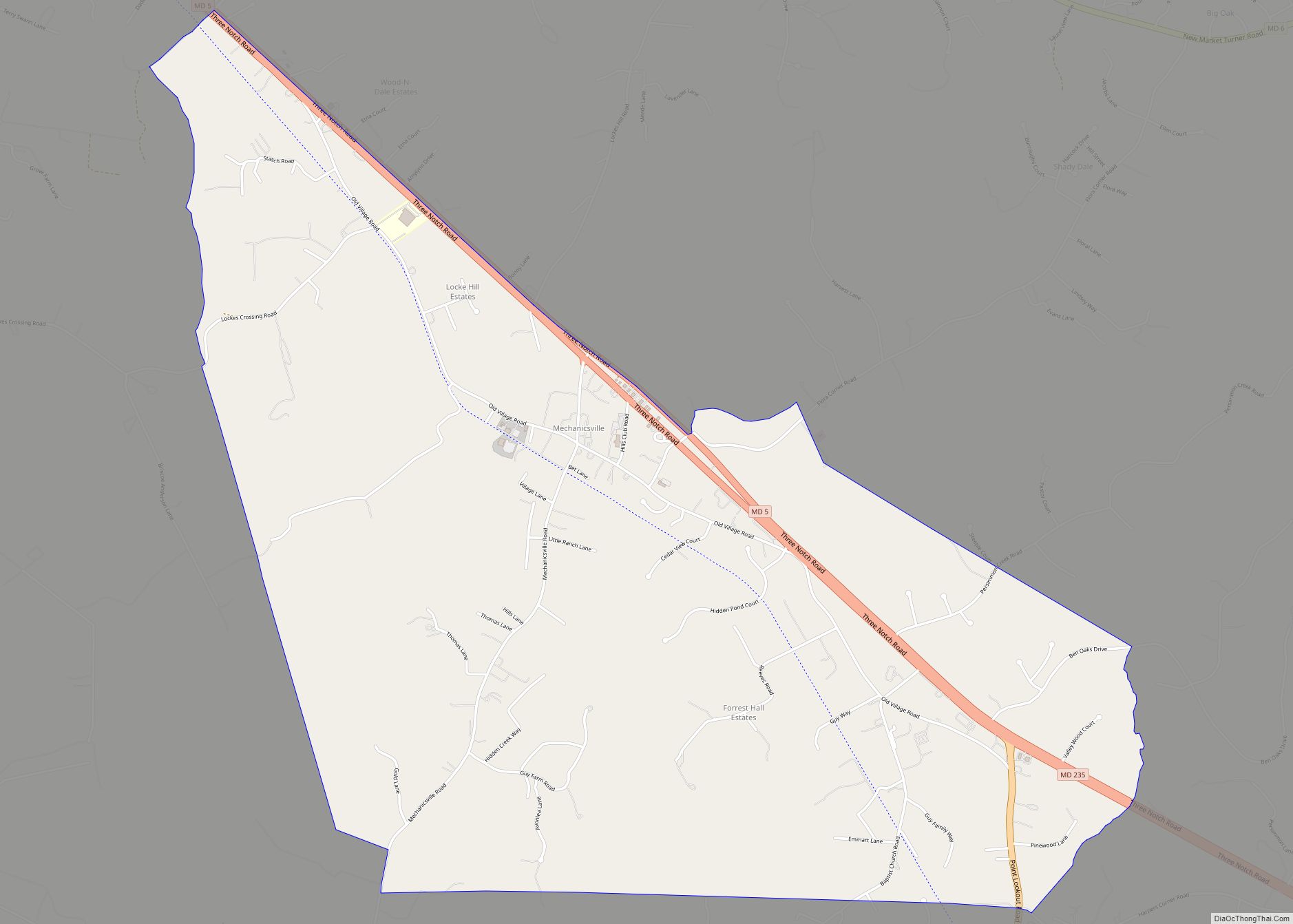
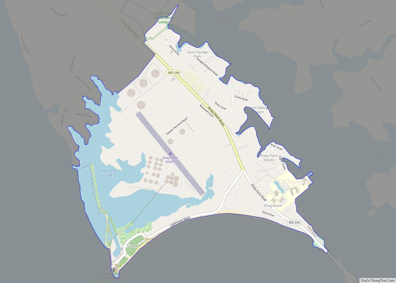
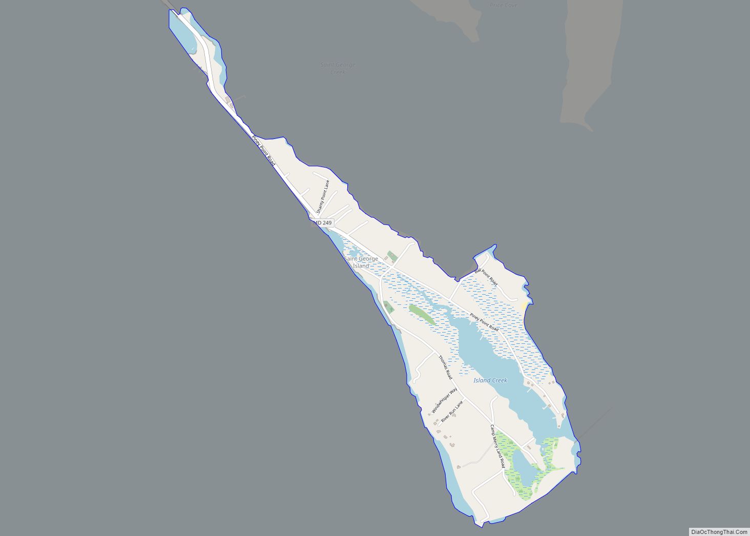
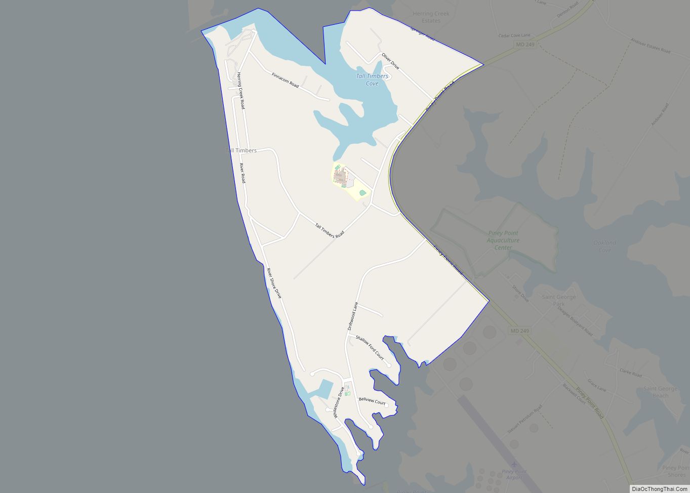
Online Interactive Map
Click on ![]() to view map in "full screen" mode.
to view map in "full screen" mode.
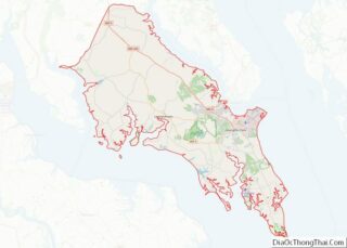
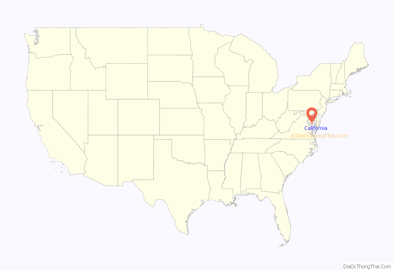
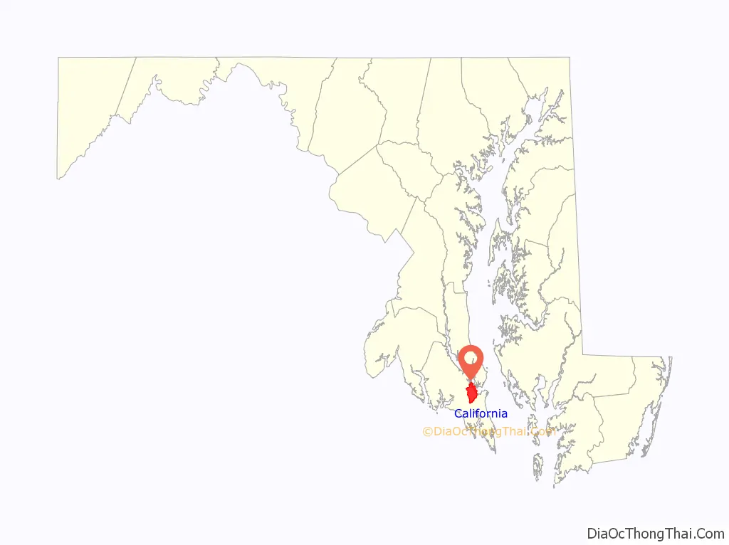
California location map. Where is California CDP?
History
The community was named after the state of California before 1897. The exact origins are unknown, however one story is that a family from the state moved to the area, using materials from their home state to build their new house, called the “California Farmstead.” Eventually, the name stuck.
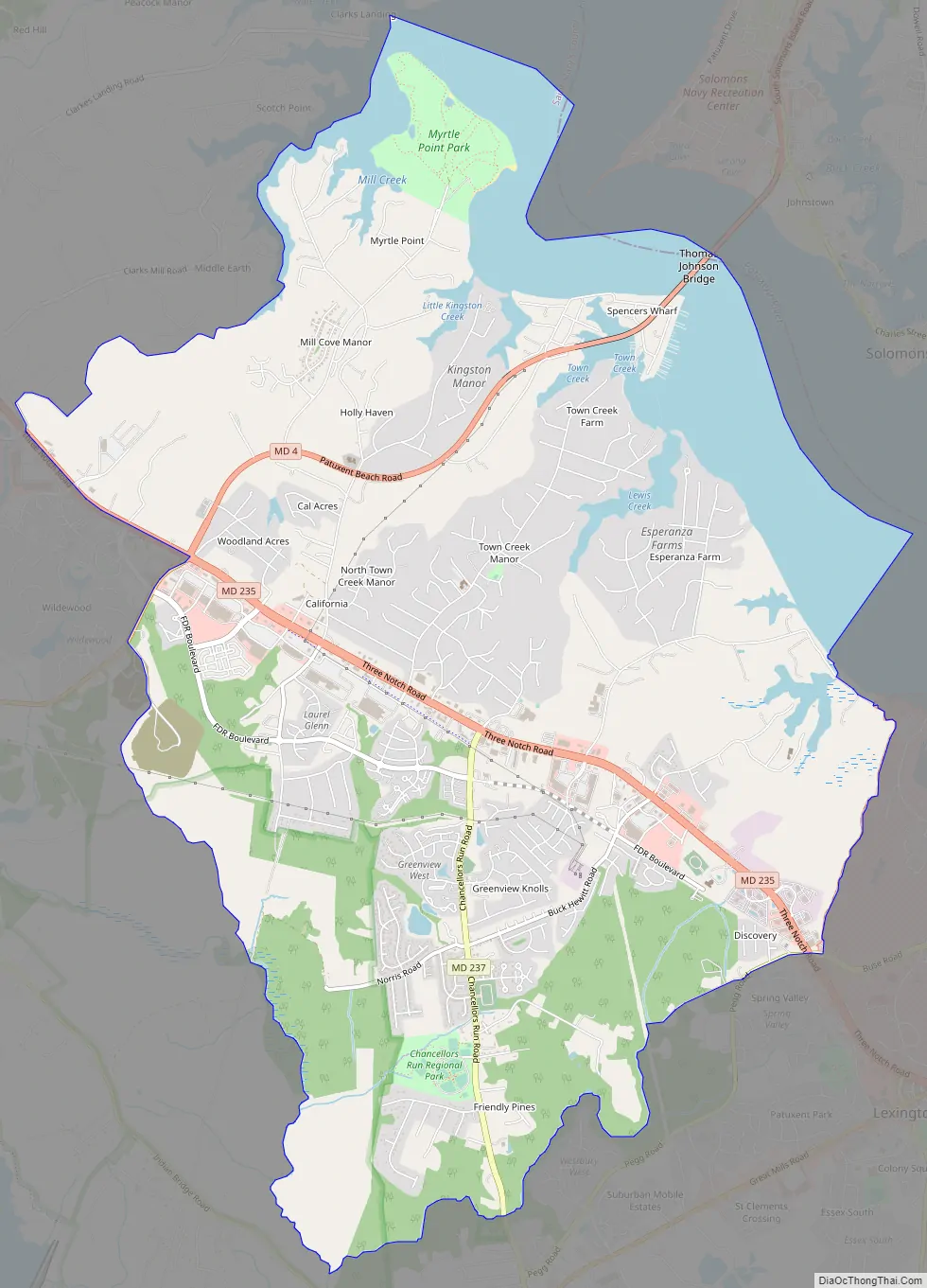
California Road Map
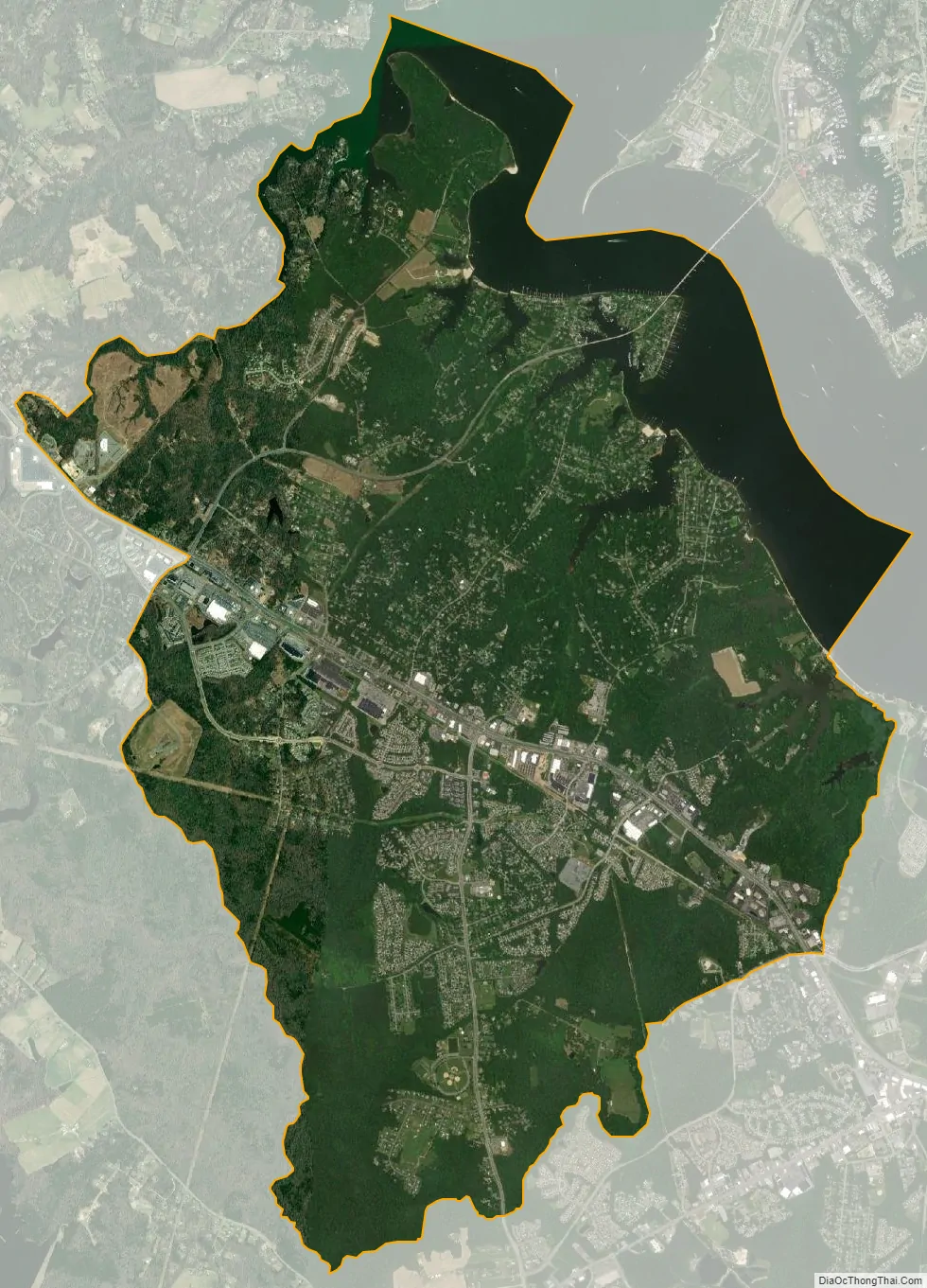
California city Satellite Map
Geography
California is located at 38°18′20″N 76°29′40″W / 38.305506°N 76.494517°W / 38.305506; -76.494517.
According to the United States Census Bureau, California has a total area of 14.8 square miles (38 km), of which 12.8 square miles (33 km) is land and 1.9 square miles (4.9 km) (12.64%) is water.
See also
Map of Maryland State and its subdivision: Map of other states:- Alabama
- Alaska
- Arizona
- Arkansas
- California
- Colorado
- Connecticut
- Delaware
- District of Columbia
- Florida
- Georgia
- Hawaii
- Idaho
- Illinois
- Indiana
- Iowa
- Kansas
- Kentucky
- Louisiana
- Maine
- Maryland
- Massachusetts
- Michigan
- Minnesota
- Mississippi
- Missouri
- Montana
- Nebraska
- Nevada
- New Hampshire
- New Jersey
- New Mexico
- New York
- North Carolina
- North Dakota
- Ohio
- Oklahoma
- Oregon
- Pennsylvania
- Rhode Island
- South Carolina
- South Dakota
- Tennessee
- Texas
- Utah
- Vermont
- Virginia
- Washington
- West Virginia
- Wisconsin
- Wyoming