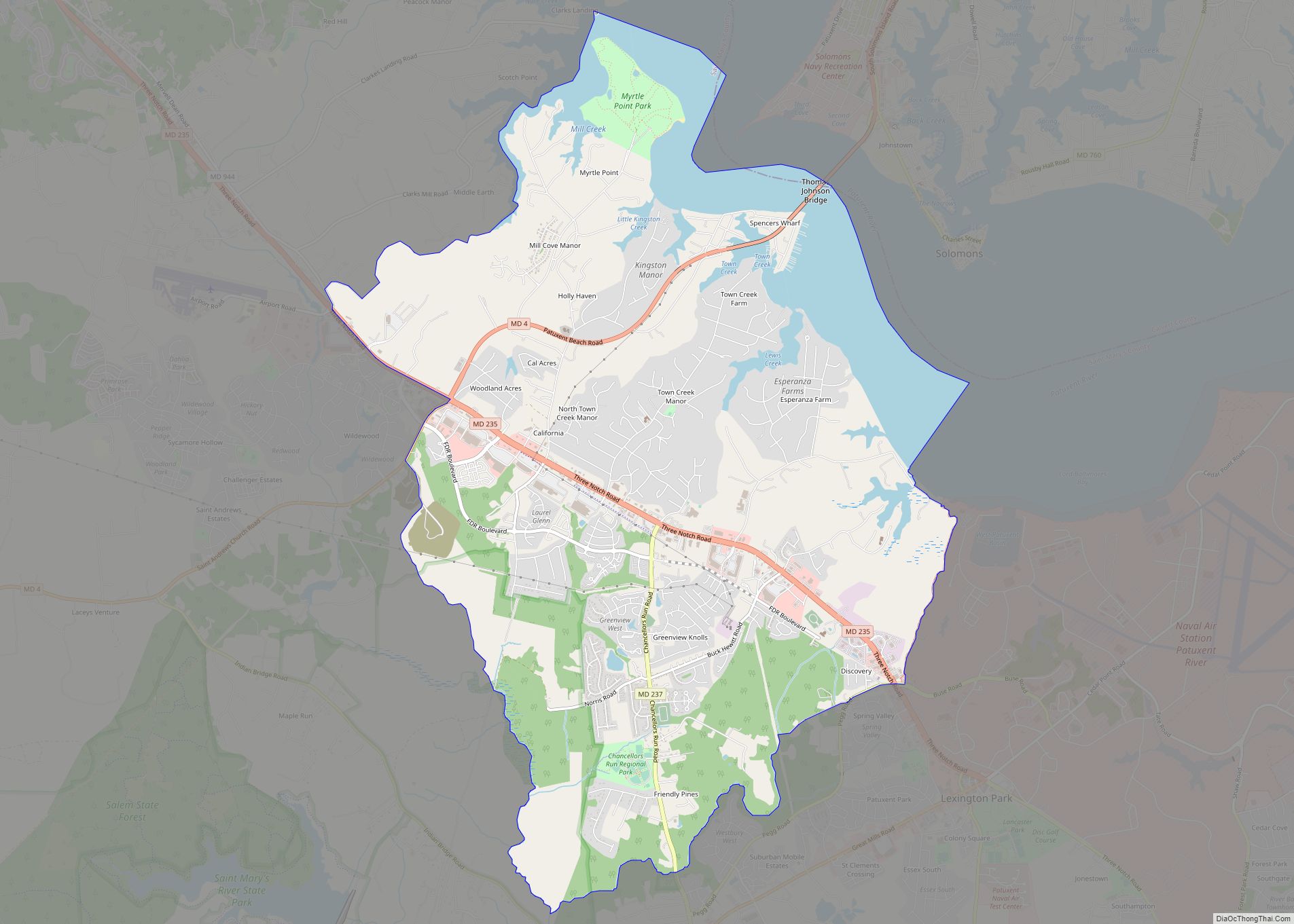
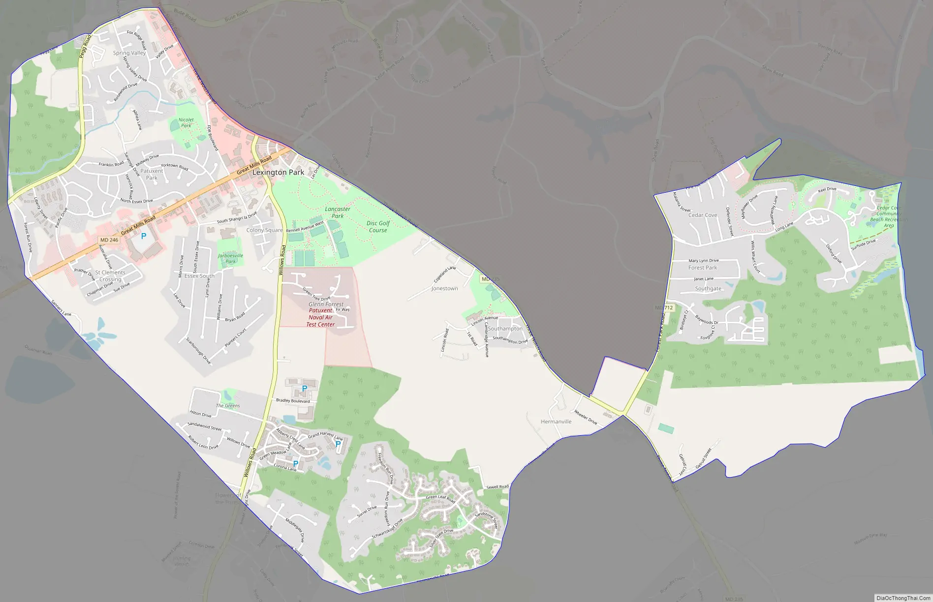
Lexington Park is a census-designated place (CDP) in St. Mary’s County, Maryland, United States, and the principal community of the Lexington Park, Maryland Micropolitan Statistical Area. The population was 11,626 at the 2010 census.
| Name: | Lexington Park CDP |
|---|---|
| LSAD Code: | 57 |
| LSAD Description: | CDP (suffix) |
| State: | Maryland |
| County: | St. Mary’s County |
| Elevation: | 115 ft (35 m) |
| Total Area: | 6.07 sq mi (15.73 km²) |
| Land Area: | 6.06 sq mi (15.71 km²) |
| Water Area: | 0.01 sq mi (0.02 km²) |
| Total Population: | 13,317 |
| Population Density: | 2,196.08/sq mi (847.86/km²) |
| ZIP code: | 20653 |
| Area code: | 301/240 |
| FIPS code: | 2446725 |
| GNISfeature ID: | 0594792 |
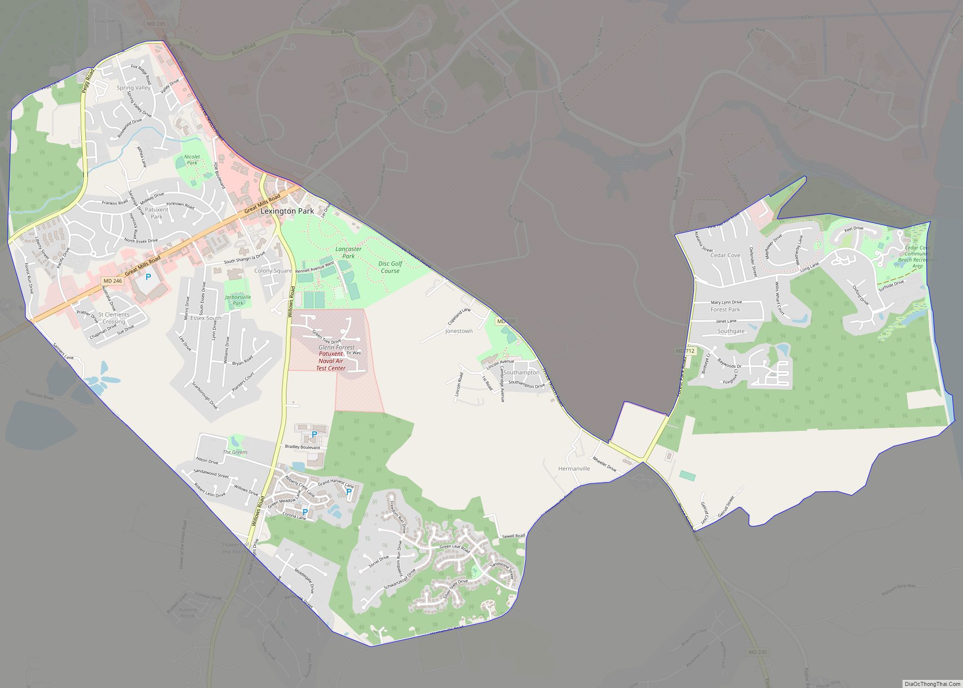
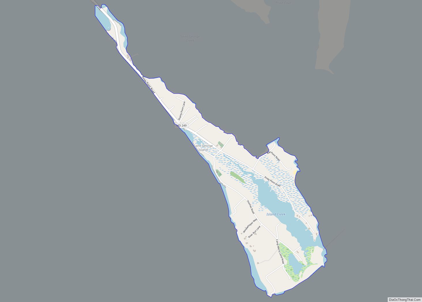
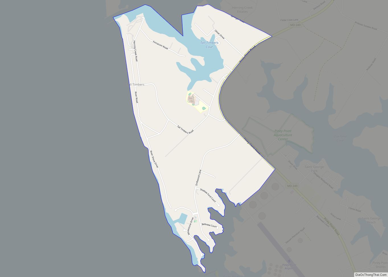
Online Interactive Map
Click on ![]() to view map in "full screen" mode.
to view map in "full screen" mode.
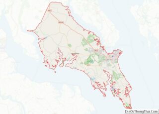
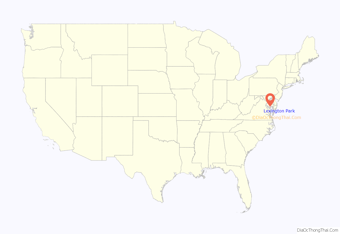
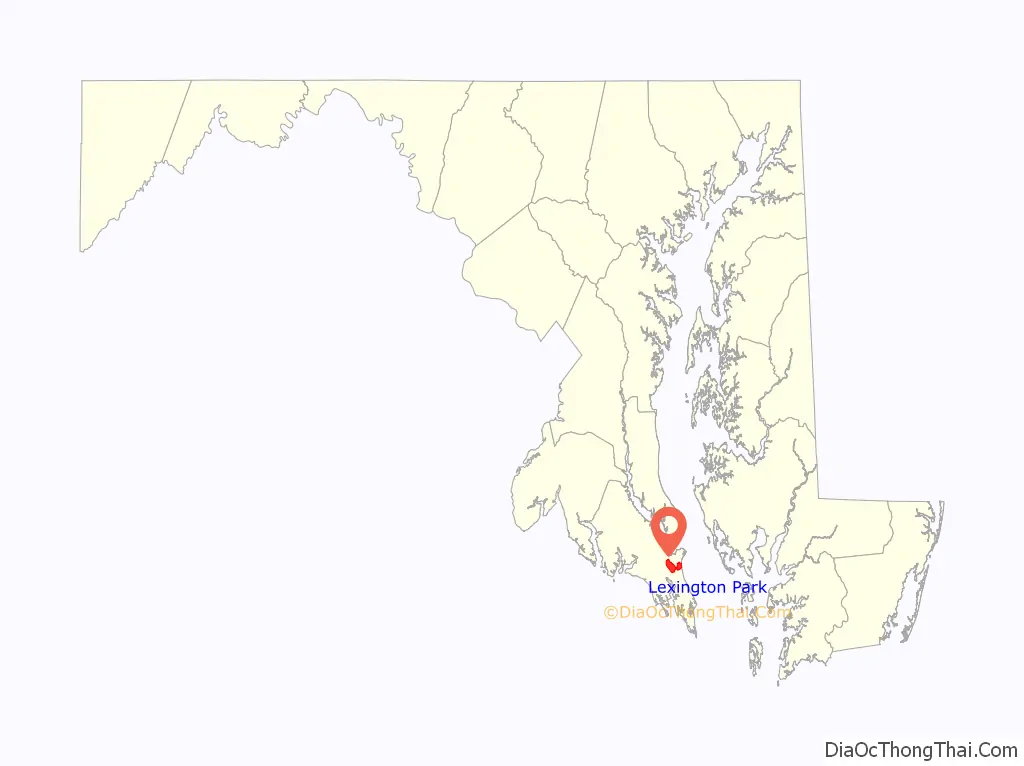
Lexington Park location map. Where is Lexington Park CDP?
History
Native American presence
Archeological research in the county has shown that Native American peoples inhabited the area for at least 10,000 years. At the time of the arrival of the first colonists, the area was inhabited by the Yaocomico branch of the Piscataway Indian Nation. The Piscataway Nation, although fragmented, still exists today, and has small communities and cultural centers in other parts of the county.
Colonial era
The area was expanded into by “planters” (mostly tobacco farmers) who moved into the area as the original settlement in St. Mary’s City grew. Early plantations were first farmed by indentured and free labor, but in the late 1600s slavery began to establish itself in Maryland and the character of farming changed due to this. Wealth was concentrated in very few hands and small free farmers and laborers were pushed out or “down” (into poverty) due to competition with slave labor.
Pre-1940s community
Before the establishment of the Patuxent Naval Air Station, there were tobacco farms in what is now Lexington Park, or the base proper, and also crabbing, fishing and oyster harvesting communities in the waterfront areas. Many residents of these communities had roots going back more than 300 years in the area. Many were pushed out by eminent domain land seizures during World War Two, in order to create the new military base. Memories of this loss are still strong among older county residents. The economic boost brought by the base was welcome, but many never felt sufficiently compensated for the loss of their centuries-old homes, landholdings and fishing and farming community.
Nearby, Dashiell Hammett, noted novelist, was born on May 27, 1894.
“Lexington Park” came into being in 1943 with the establishment of the Patuxent Naval Air Station during World War II, and was named for the recently sunk USS Lexington aircraft carrier. Prior to this Lexington Park was called “Jarboesville”. John Glenn, Alan Shepard, and many noted astronauts trained there. In 1977 the Governor Thomas Johnson Bridge spanning the Patuxent River linked the area to Calvert County and Solomons, Maryland.
In recent years several aerospace and high-tech companies have located in the area bringing additional jobs. Continually expanding shopping centers along Maryland Route 235 (“Three Notch Road”) and Great Mills Road have many department stores.
Lexington Park Road Map
Lexington Park city Satellite Map
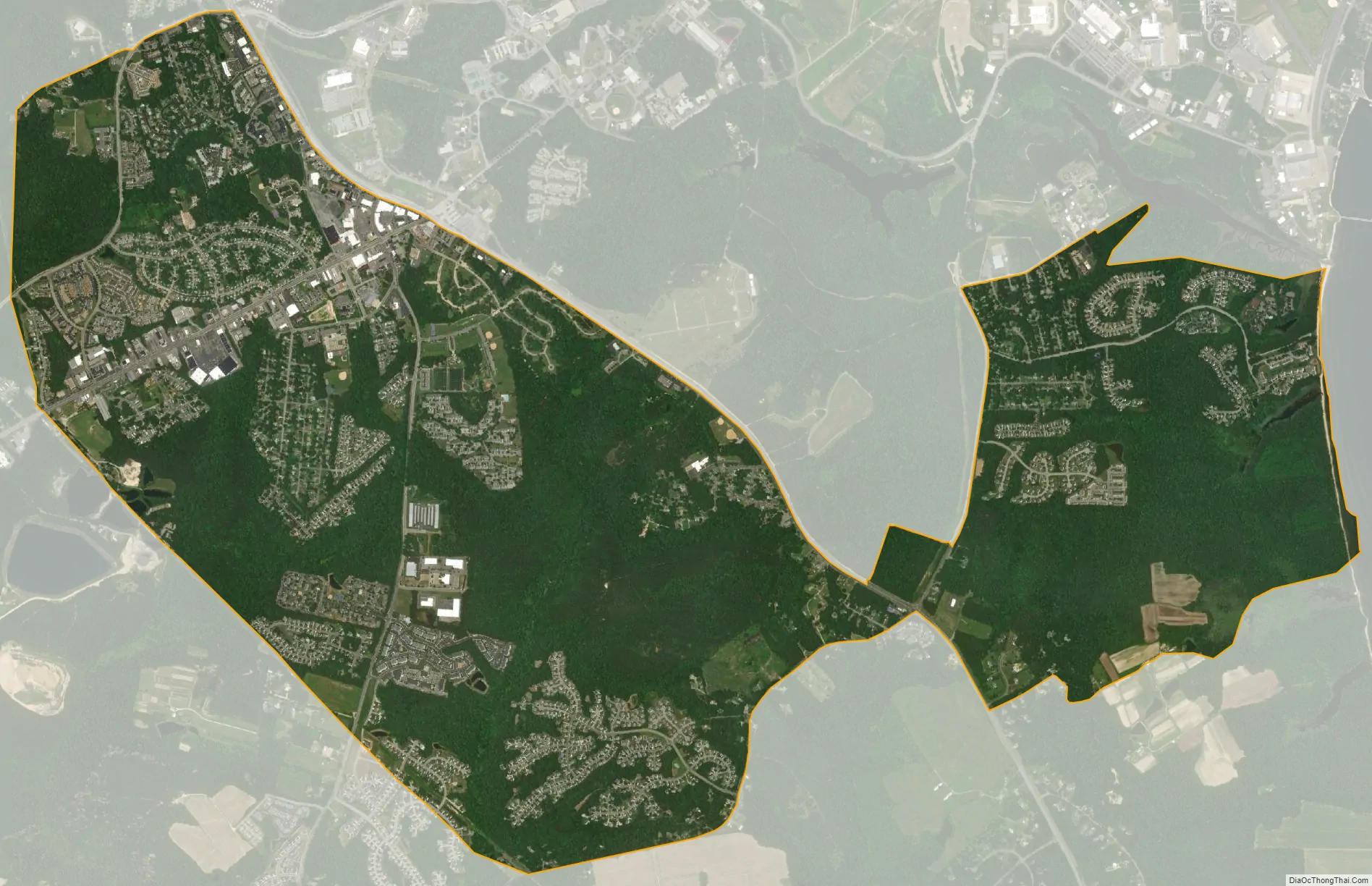
Geography
Lexington Park is located at 38°15′32″N 76°27′2″W / 38.25889°N 76.45056°W / 38.25889; -76.45056 (38.258906, −76.450592).
According to the United States Census Bureau, the CDP has a total area of 8.1 square miles (21 km), of which 8.0 square miles (21 km) is land and 0.1 square miles (0.26 km) (1.24%) is water.
Climate
Lexington Park has a humid subtropical climate under the Köppen climate classification, with hot, humid summers and mild winters.
See also
Map of Maryland State and its subdivision: Map of other states:- Alabama
- Alaska
- Arizona
- Arkansas
- California
- Colorado
- Connecticut
- Delaware
- District of Columbia
- Florida
- Georgia
- Hawaii
- Idaho
- Illinois
- Indiana
- Iowa
- Kansas
- Kentucky
- Louisiana
- Maine
- Maryland
- Massachusetts
- Michigan
- Minnesota
- Mississippi
- Missouri
- Montana
- Nebraska
- Nevada
- New Hampshire
- New Jersey
- New Mexico
- New York
- North Carolina
- North Dakota
- Ohio
- Oklahoma
- Oregon
- Pennsylvania
- Rhode Island
- South Carolina
- South Dakota
- Tennessee
- Texas
- Utah
- Vermont
- Virginia
- Washington
- West Virginia
- Wisconsin
- Wyoming