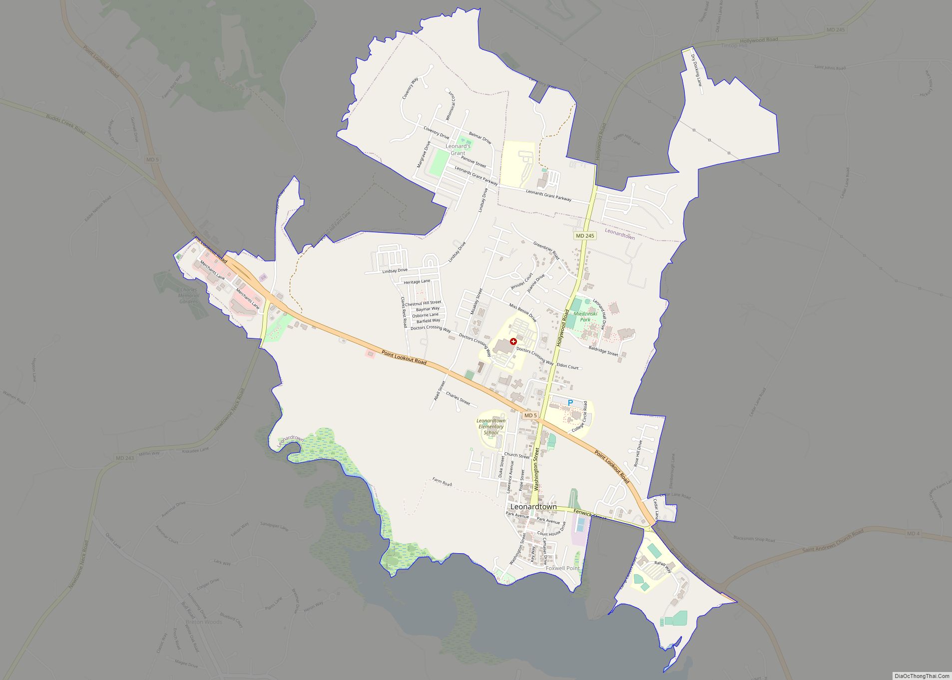
Leonardtown is a town in and the county seat of St. Mary’s County, Maryland, United States. The population was 4,563 at the 2020 census. Leonardtown is perhaps most famous for the national oyster-shucking championship that is held annually at the St. Mary’s County fairgrounds.
Historic Leonardtown includes both a large public high school and a public middle school Leonardtown Middle School as well as a Catholic high school and an elementary school Leonardtown Elementary School, offices of the county government, and St. Mary’s Hospital which serves the healthcare needs of the county. The College of Southern Maryland maintains a growing satellite campus within city limits, including an aquatic center. An upscale home development located in the Breton Bay area is just outside town, notable for both its country club golf course and swimming pool.
Leonardtown’s population has grown significantly since 1990 as a result of the town’s proximity to Patuxent River Naval Air Station and the Washington metro area.
| Name: | Leonardtown town |
|---|---|
| LSAD Code: | 43 |
| LSAD Description: | town (suffix) |
| State: | Maryland |
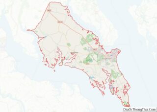
| County: | St. Mary’s County |
| Founded: | 1660 as Seymour Town |
| Elevation: | 85 ft (26 m) |
| Total Area: | 3.88 sq mi (10.04 km²) |
| Land Area: | 3.81 sq mi (9.87 km²) |
| Water Area: | 0.07 sq mi (0.18 km²) |
| Total Population: | 4,563 |
| Population Density: | 1,197.64/sq mi (462.38/km²) |
| ZIP code: | 20650 |
| Area code: | 301, 240 |
| FIPS code: | 2446475 |
| GNISfeature ID: | 0594790 |
| Website: | http://leonardtown.somd.com |
Online Interactive Map
Click on ![]() to view map in "full screen" mode.
to view map in "full screen" mode.
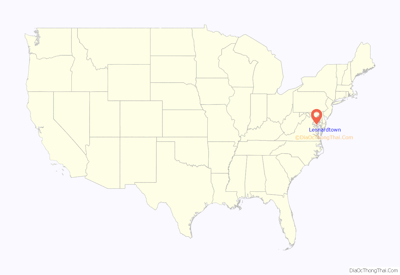
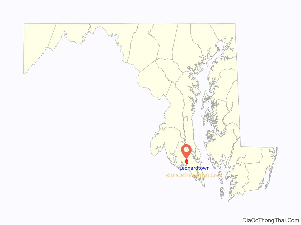
Leonardtown location map. Where is Leonardtown town?
History
Early history
Records indicate that by 1654, county court was conducted at the house of John Hammond in the area known as “Newtown” or “Newtowne Hundred”. During the late 17th century, it appears that court was held at various homes throughout Newtown, and that it was only in 1708 that an official town with a designated courthouse was established. It was during this same year that Phillip Lynes, then Mayor of St. Mary’s City, Maryland’s colonial capital, designated fifty acres of land at the head of “Brittons Bay” to be divided into 100 lots. He further ordered that one lot be set aside for a county courthouse to be built at an expense not to exceed 12,000 pounds of tobacco. At this time, Newtown was promptly renamed Seymour Town in honor of Governor John Seymour. Nearly 20 years later, Seymour Town was renamed again to Leonard Town in honor of Benedict Leonard Calvert, who was Maryland’s governor during this period. In the decades that followed, Leonard Town became the place where local residents conducted their official business with the colony. Farm products were regularly shipped through the port.
The 19th century
During the War of 1812, the British blockaded the Chesapeake Bay. 1,000 British Marines invaded the town. This crippled the Tidewater economy and subjected areas to repeated British plundering and destruction. By 1860, the town had approximately 35 dwellings within these corporate limits. It was home to the county’s newspaper, two hotels and several stores. During the American Civil War, a Union Naval contingent occupied Leonardtown, searching all houses for weapons and supplies intended for shipment across the Potomac River to Virginia as Southern Maryland and the town’s sympathies lay with the Confederacy. Leonardtown served as a busy port and steamboat landing. Until the passing of the steamboat era, steamboats carried goods and passengers all over the Chesapeake Bay area well into the 20th century, and a floating theater docked each year at the port, providing entertainment.
The 20th century to the present
Historic Leonardtown remains the only incorporated municipality in St. Mary’s County with its own elected mayor and town council. The town is experiencing a renaissance of its downtown as witnessed by recent openings of several new restaurants and businesses, some of which are located in historic buildings. An old order Mennonite farming community is located a few miles to the northwest, where community members sell furniture, crafts, produce, and other homemade/home grown products. A large, modern public library and seniors center opened in 2021. The Leonardtown Wharf waterfront park opened as a public attraction for both locals and tourists in May 2008. Facilities for boating, kayaking and canoeing are also planned. The Naval Air Base located at Patuxent River has boosted the economy in Leonardtown significantly. Many families have relocated to Leonardtown as a result of the base.
St. Andrew’s Church and Tudor Hall were listed on the National Register of Historic Places in 1973.
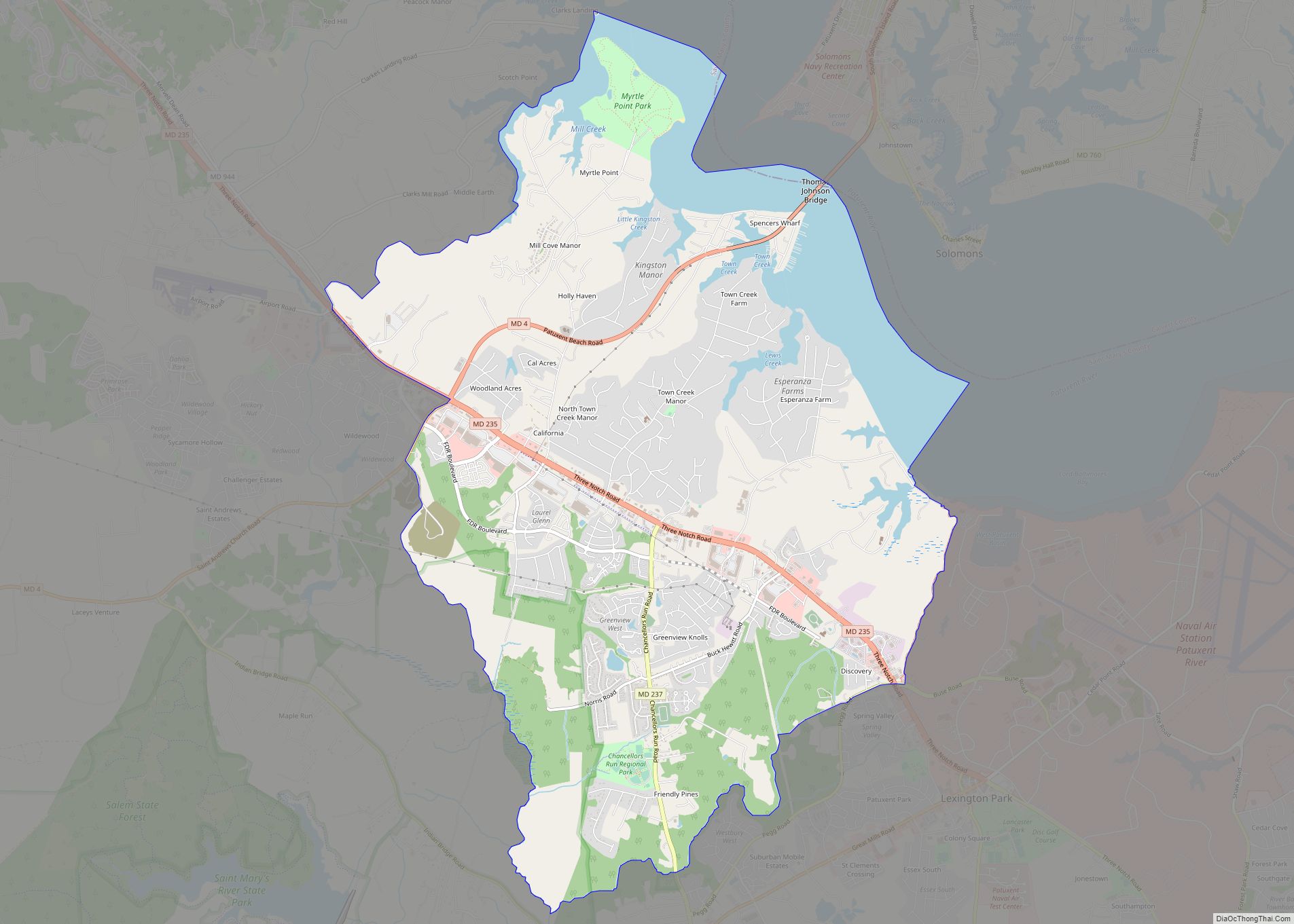
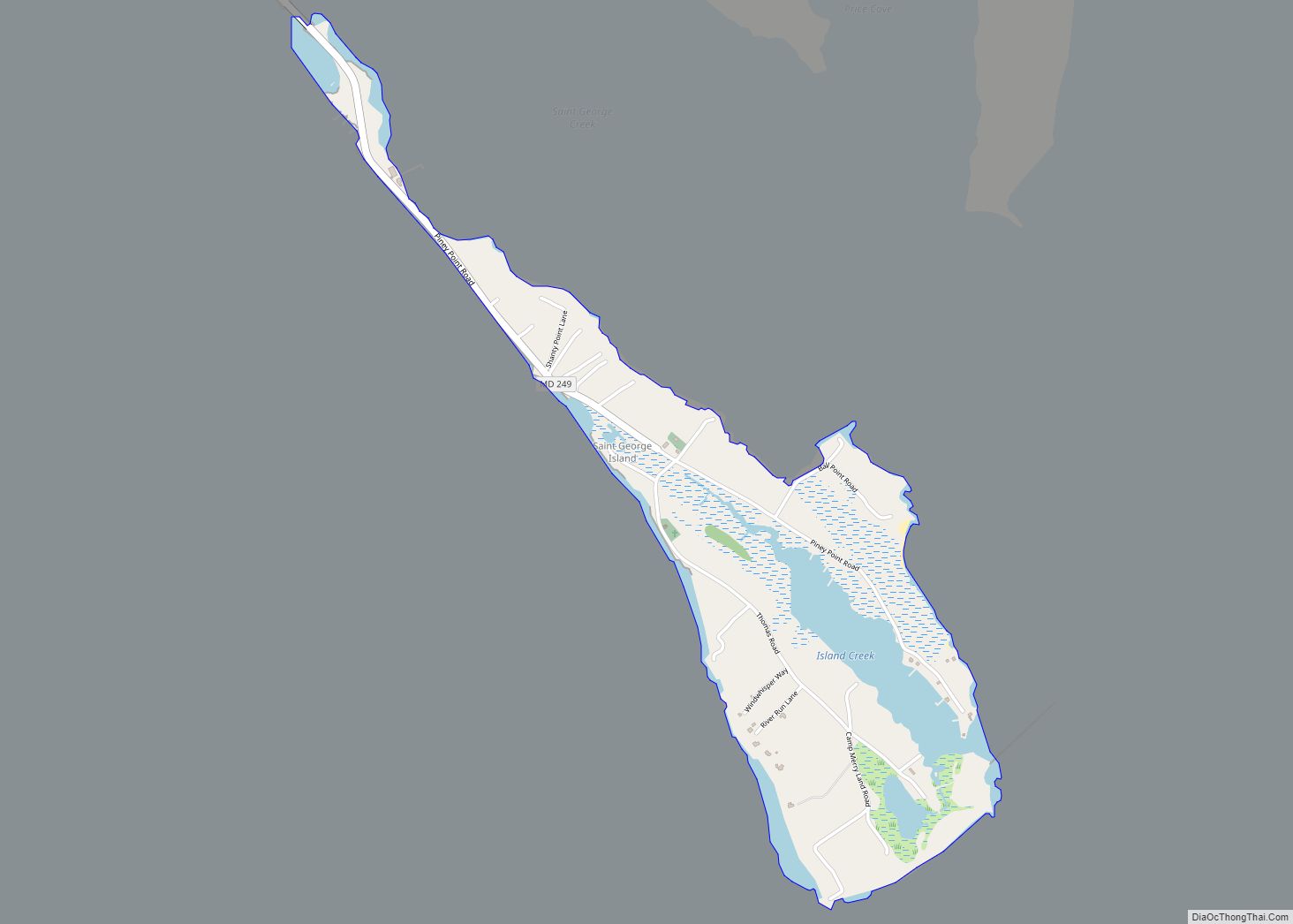
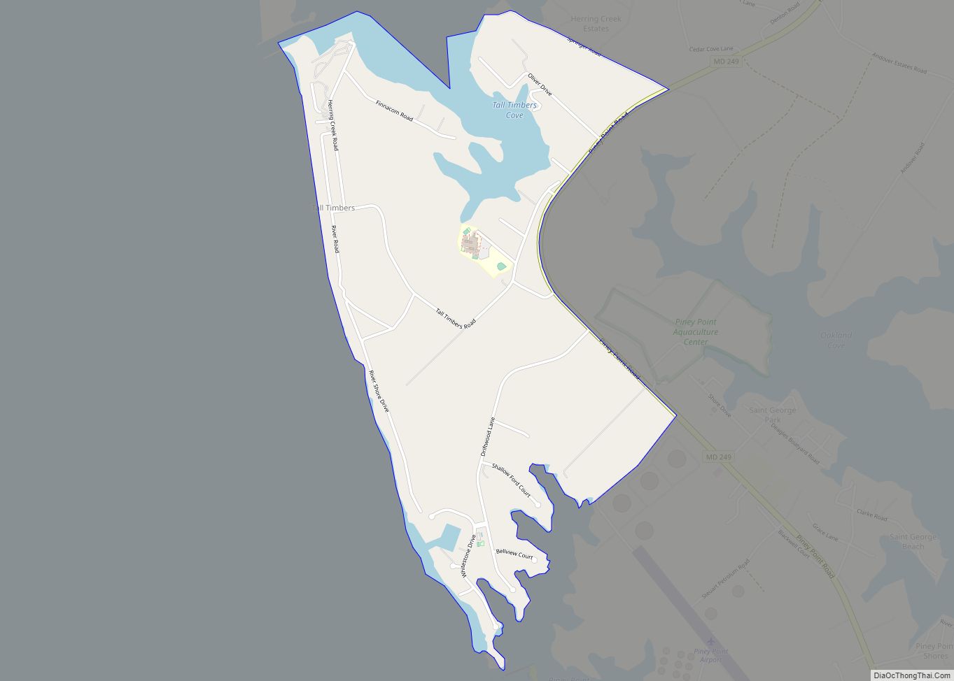
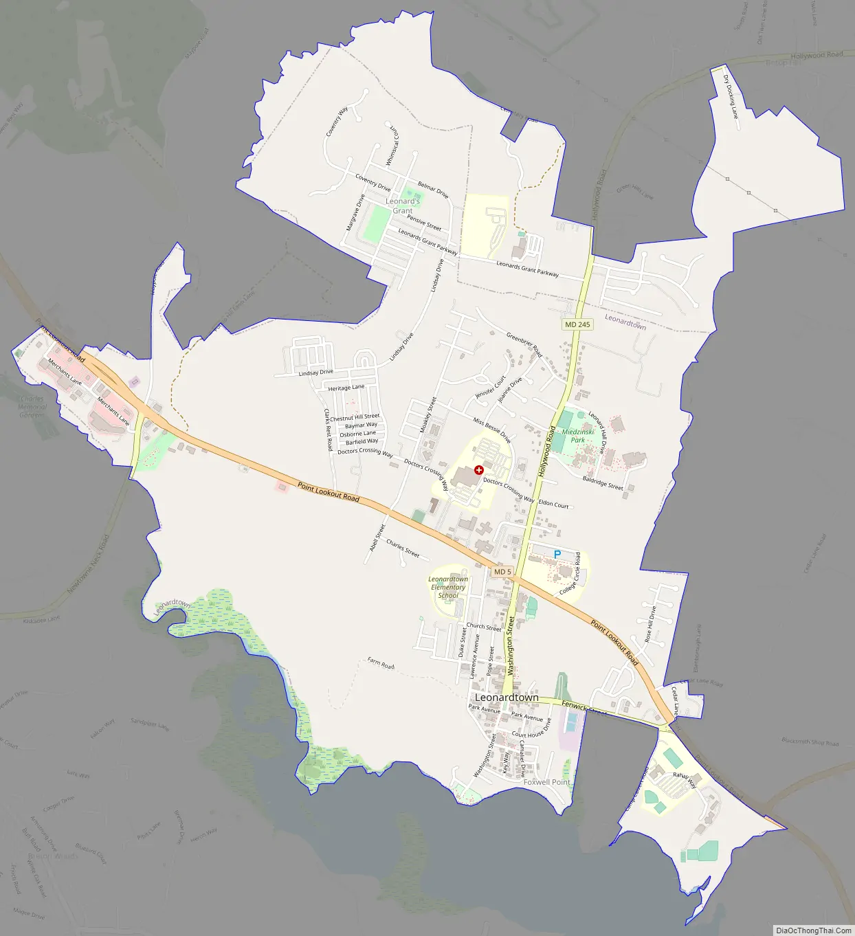
Leonardtown Road Map
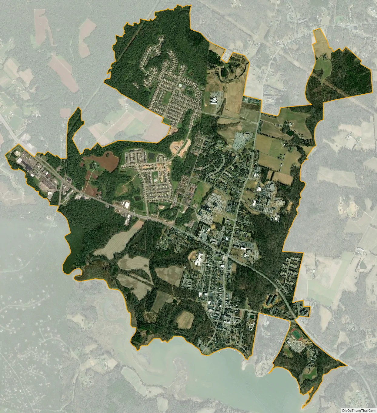
Leonardtown city Satellite Map
Geography
Leonardtown is located at 38°17′43″N 76°38′17″W / 38.29528°N 76.63806°W / 38.29528; -76.63806 (38.295332, -76.637939).
According to the United States Census Bureau, the town has a total area of 3.25 square miles (8.42 km), of which 3.18 square miles (8.24 km) is land and 0.07 square miles (0.18 km) is water.
See also
Map of Maryland State and its subdivision: Map of other states:- Alabama
- Alaska
- Arizona
- Arkansas
- California
- Colorado
- Connecticut
- Delaware
- District of Columbia
- Florida
- Georgia
- Hawaii
- Idaho
- Illinois
- Indiana
- Iowa
- Kansas
- Kentucky
- Louisiana
- Maine
- Maryland
- Massachusetts
- Michigan
- Minnesota
- Mississippi
- Missouri
- Montana
- Nebraska
- Nevada
- New Hampshire
- New Jersey
- New Mexico
- New York
- North Carolina
- North Dakota
- Ohio
- Oklahoma
- Oregon
- Pennsylvania
- Rhode Island
- South Carolina
- South Dakota
- Tennessee
- Texas
- Utah
- Vermont
- Virginia
- Washington
- West Virginia
- Wisconsin
- Wyoming