Chevy Chase Village, Maryland is an incorporated municipality in Montgomery County, Maryland, United States, bordering Washington, D.C. It is made up of sections 1, 1a, and 2 of Chevy Chase, as originally designated by The Chevy Chase Land Company. The population was 1,953 as of the 2010 census. The town is the wealthiest in Maryland, with a median income of over $250,000, the highest income bracket listed by the census bureau, and a median home value of $1,823,800.
Chevy Chase Village includes 721 homes. It is known for its speed limit enforcement actions, which produce 24% of its annual revenue.
The suburb was created to be all-white; it remains overwhelmingly so more than a century later.
Chevy Chase Village is the location of the Chevy Chase Club, a private country club with an initiation fee of over $50,000.
| Name: | Chevy Chase Village town |
|---|---|
| LSAD Code: | 43 |
| LSAD Description: | town (suffix) |
| State: | Maryland |
| County: | Montgomery County |
| Incorporated: | 1910 |
| Elevation: | 341 ft (104 m) |
| Total Area: | 0.42 sq mi (1.09 km²) |
| Land Area: | 0.42 sq mi (1.09 km²) |
| Water Area: | 0.00 sq mi (0.00 km²) |
| Total Population: | 2,049 |
| Population Density: | 4,878.57/sq mi (1,885.46/km²) |
| ZIP code: | 20815 |
| Area code: | 301 |
| FIPS code: | 2416787 |
| GNISfeature ID: | 1669429 |
| Website: | www.chevychasevillagemd.gov |
Online Interactive Map
Click on ![]() to view map in "full screen" mode.
to view map in "full screen" mode.
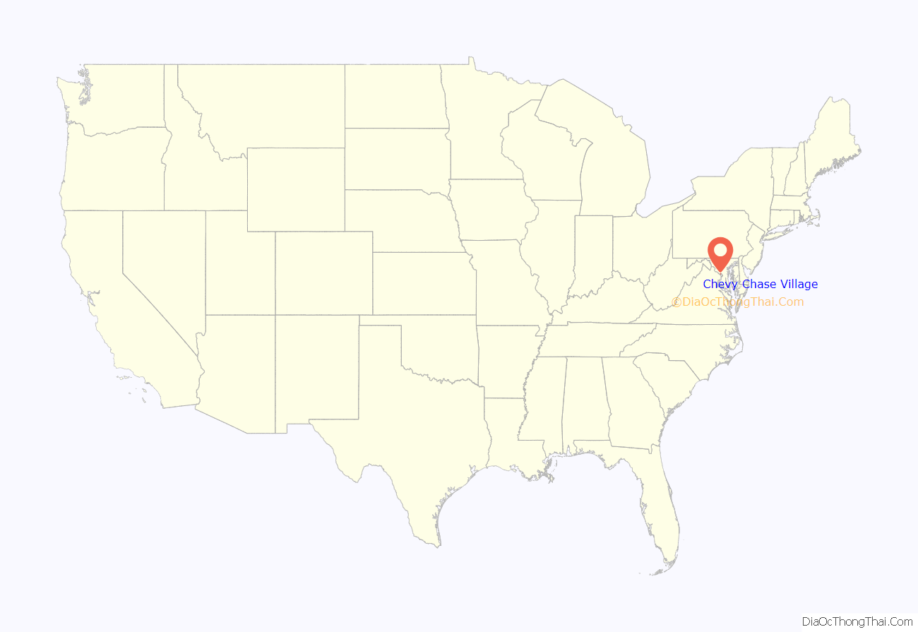
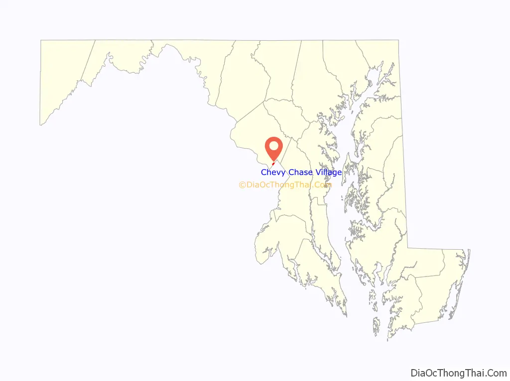
Chevy Chase Village location map. Where is Chevy Chase Village town?
History
Chevy Chase Village was created in 1890 as a streetcar suburb. In 1914, it became a special taxing area. It was incorporated in 1951.
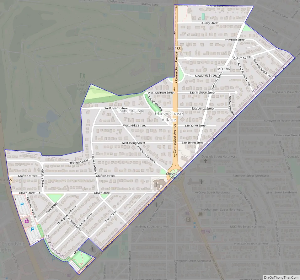
Chevy Chase Village Road Map
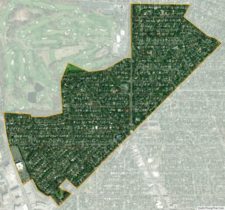
Chevy Chase Village city Satellite Map
Geography
Chevy Chase Village is located at 38°58′10″N 77°4′44″W / 38.96944°N 77.07889°W / 38.96944; -77.07889 (38.969560, -77.078967). and has a total area of 0.42 square miles (1.09 km), all land.
See also
Map of Maryland State and its subdivision: Map of other states:- Alabama
- Alaska
- Arizona
- Arkansas
- California
- Colorado
- Connecticut
- Delaware
- District of Columbia
- Florida
- Georgia
- Hawaii
- Idaho
- Illinois
- Indiana
- Iowa
- Kansas
- Kentucky
- Louisiana
- Maine
- Maryland
- Massachusetts
- Michigan
- Minnesota
- Mississippi
- Missouri
- Montana
- Nebraska
- Nevada
- New Hampshire
- New Jersey
- New Mexico
- New York
- North Carolina
- North Dakota
- Ohio
- Oklahoma
- Oregon
- Pennsylvania
- Rhode Island
- South Carolina
- South Dakota
- Tennessee
- Texas
- Utah
- Vermont
- Virginia
- Washington
- West Virginia
- Wisconsin
- Wyoming


