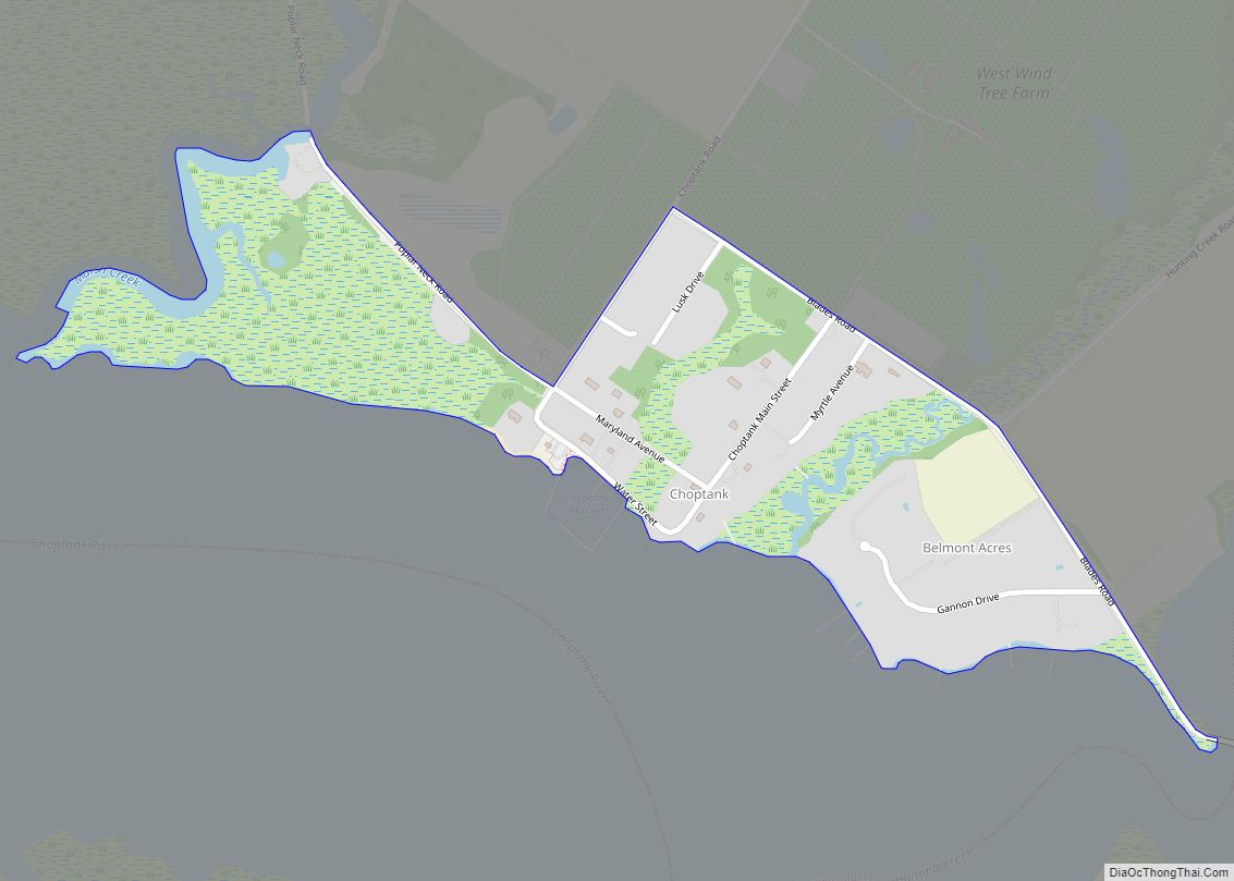
Choptank is an unincorporated town and census-designated place on the Eastern Shore of Maryland, in Caroline County, Maryland, United States. As of the 2010 census it had a population of 129.
The town was founded in the 17th century. It is located on the tidal Choptank River, which flows into Chesapeake Bay. Tradition has it that the name “choptank” was a crude Anglicisation of the Algonquian name for the river, probably in the Nanticoke language. There was also a group of Algonquians called the Choptank tribe.
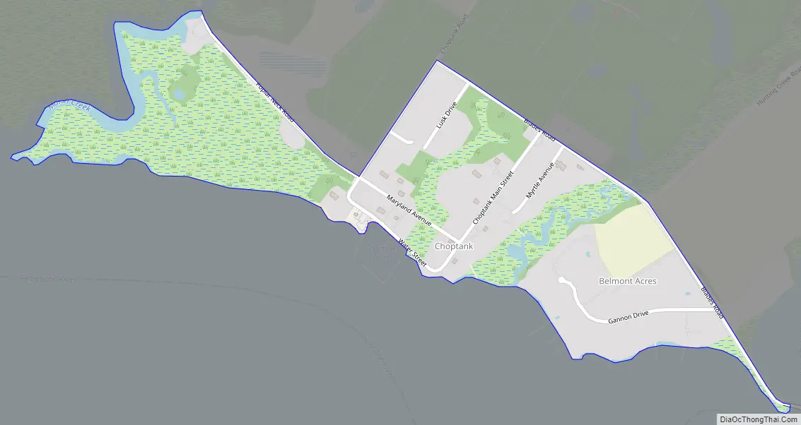
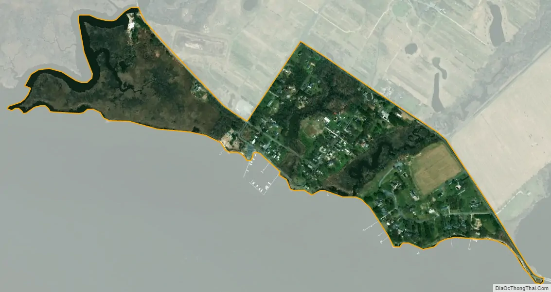
The town is located at the southwestern corner of Caroline County on the northeast bank of the Choptank River, just north of where Hunting Creek enters the river from the east. The Choptank River flows southwest 11 miles (18 km) to the city of Cambridge and 25 miles (40 km) to Chesapeake Bay. Choptank Road leads northeast 3 miles (5 km) to the town of Preston and the nearest state highways, Maryland Routes 16 and 331.
| Name: | Choptank CDP |
|---|---|
| LSAD Code: | 57 |
| LSAD Description: | CDP (suffix) |
| State: | Maryland |
| County: | Caroline County |
| Elevation: | 5 ft (2 m) |
| Total Area: | 0.24 sq mi (0.62 km²) |
| Land Area: | 0.24 sq mi (0.62 km²) |
| Water Area: | 0.00 sq mi (0.00 km²) |
| Total Population: | 126 |
| Population Density: | 529.41/sq mi (204.44/km²) |
| Area code: | 410 |
| FIPS code: | 2417000 |
| GNISfeature ID: | 0589973 |
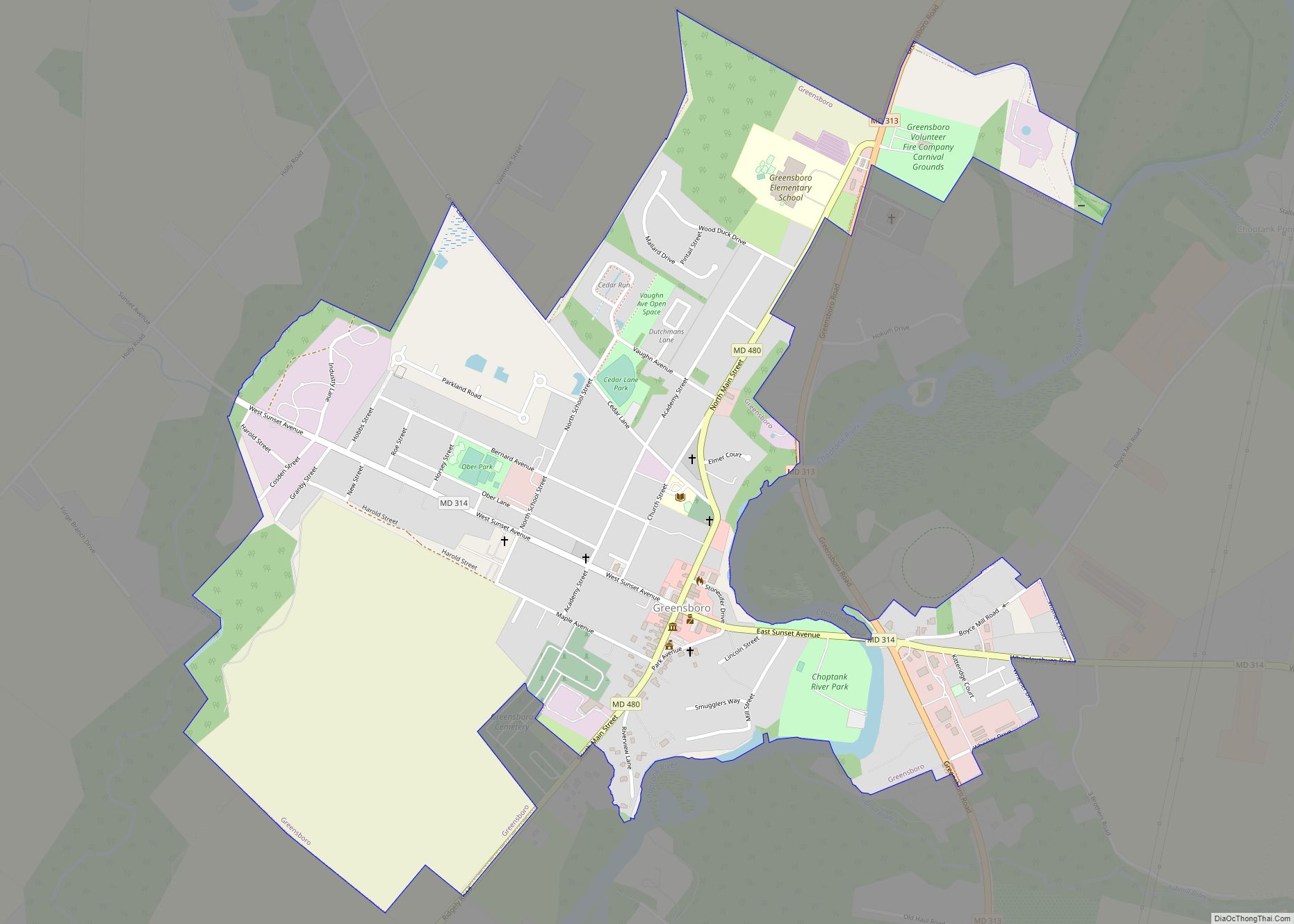
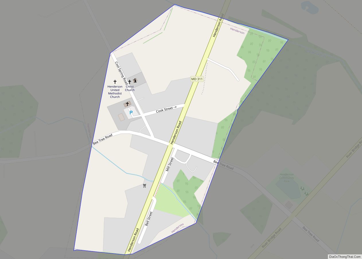
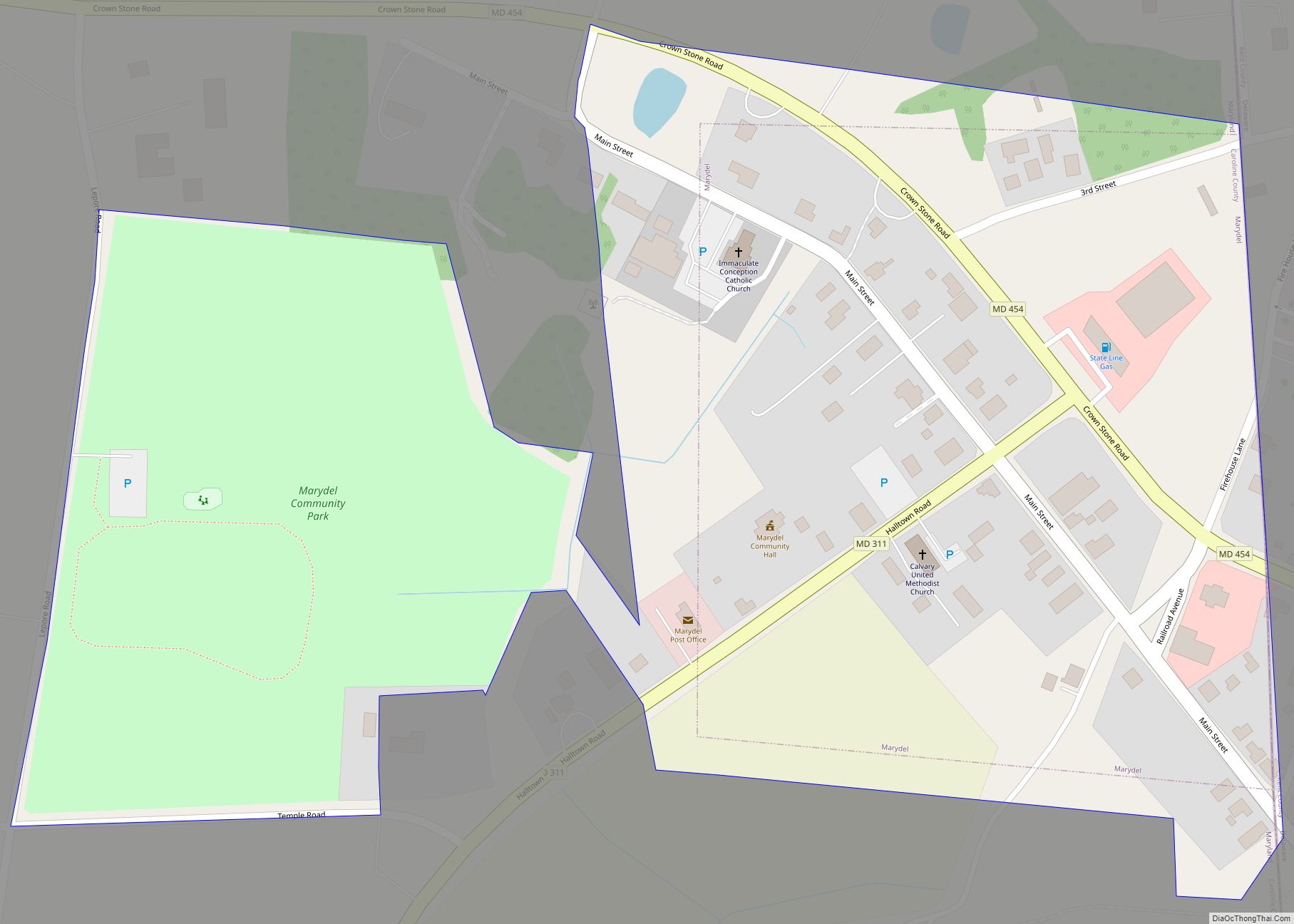
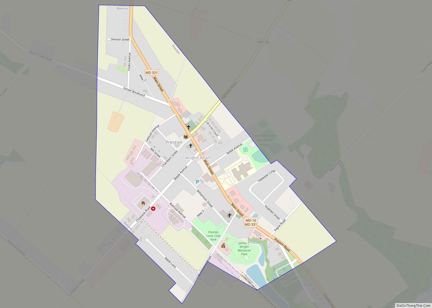
Online Interactive Map
Click on ![]() to view map in "full screen" mode.
to view map in "full screen" mode.
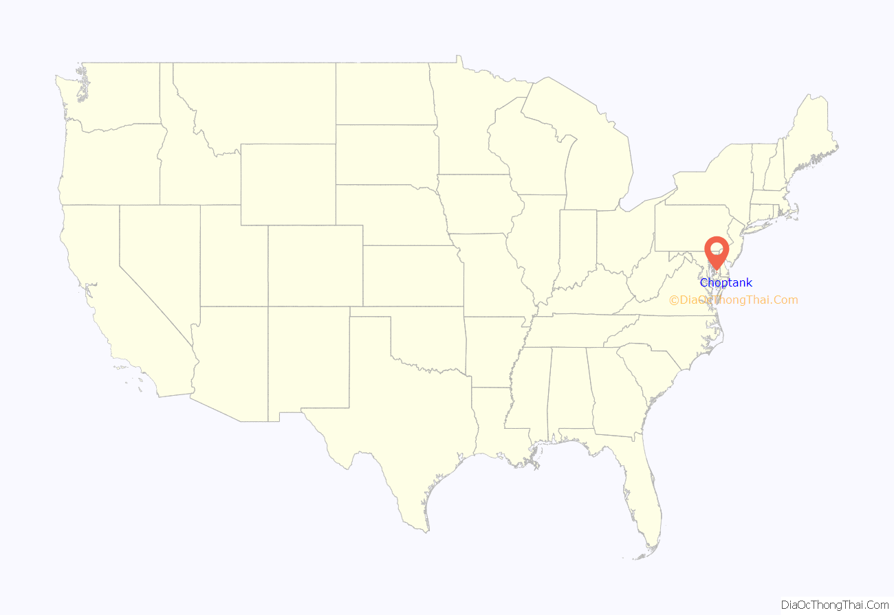
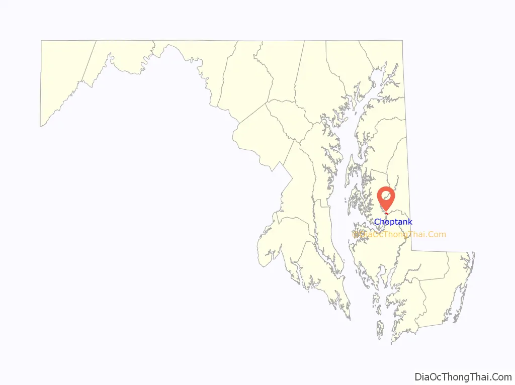
Choptank location map. Where is Choptank CDP?
Choptank Road Map
Choptank city Satellite Map
See also
Map of Maryland State and its subdivision: Map of other states:- Alabama
- Alaska
- Arizona
- Arkansas
- California
- Colorado
- Connecticut
- Delaware
- District of Columbia
- Florida
- Georgia
- Hawaii
- Idaho
- Illinois
- Indiana
- Iowa
- Kansas
- Kentucky
- Louisiana
- Maine
- Maryland
- Massachusetts
- Michigan
- Minnesota
- Mississippi
- Missouri
- Montana
- Nebraska
- Nevada
- New Hampshire
- New Jersey
- New Mexico
- New York
- North Carolina
- North Dakota
- Ohio
- Oklahoma
- Oregon
- Pennsylvania
- Rhode Island
- South Carolina
- South Dakota
- Tennessee
- Texas
- Utah
- Vermont
- Virginia
- Washington
- West Virginia
- Wisconsin
- Wyoming