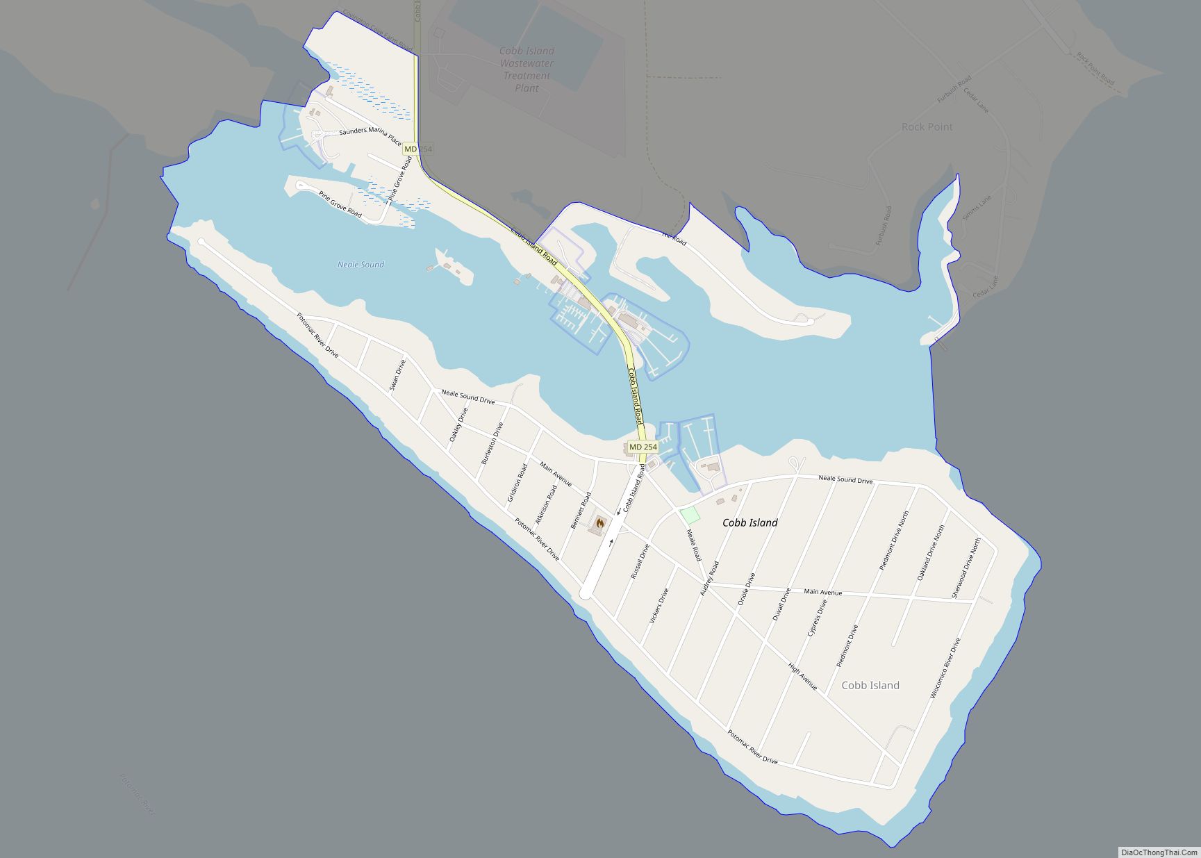
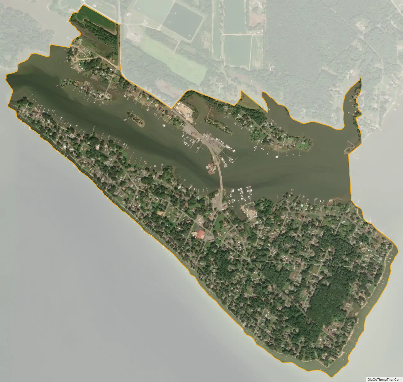
Cobb Island is a small island located at the confluence of the Potomac and Wicomico rivers in southern Charles County, Maryland, United States. It is located approximately 45 miles (72 km) south of Washington, and is considered to be within the Washington, D.C. MSA. Cobb Island is separated from the mainland by Neale Sound and connected to it by a 0.11-mile-long (180 m) fixed bridge carrying Maryland Route 254.
Cobb Island is an unincorporated community and census-designated place (CDP). As of the 2010 census, the CDP had a population of 1,166. The community has a small post office, a volunteer fire department and rescue squad, a Baptist church, a large community green space (Fisherman’s Field) and a small playground for children. Commercially, there are two seafood restaurants with marinas (Captain John’s Crab House, and Shymansky’s Restaurant & Marina), The Rivah, a marina with a pizzeria restaurant chain (Ledo Pizza), a small bar and grill (The Scuttlebutt), a seasonal coffee shop, art gallery and bakery (The Cove at Cobb Island), and a small market (Cobb Island Market).
| Name: | Cobb Island CDP |
|---|---|
| LSAD Code: | 57 |
| LSAD Description: | CDP (suffix) |
| State: | Maryland |
| County: | Charles County |
| Elevation: | 10 ft (3 m) |
| Total Area: | 0.93 sq mi (2.39 km²) |
| Land Area: | 0.63 sq mi (1.62 km²) |
| Water Area: | 0.30 sq mi (0.77 km²) |
| Total Population: | 929 |
| Population Density: | 1,484.03/sq mi (573.16/km²) |
| ZIP code: | 20625 |
| FIPS code: | 2418200 |
| GNISfeature ID: | 1988529 |
Online Interactive Map
Click on ![]() to view map in "full screen" mode.
to view map in "full screen" mode.
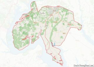
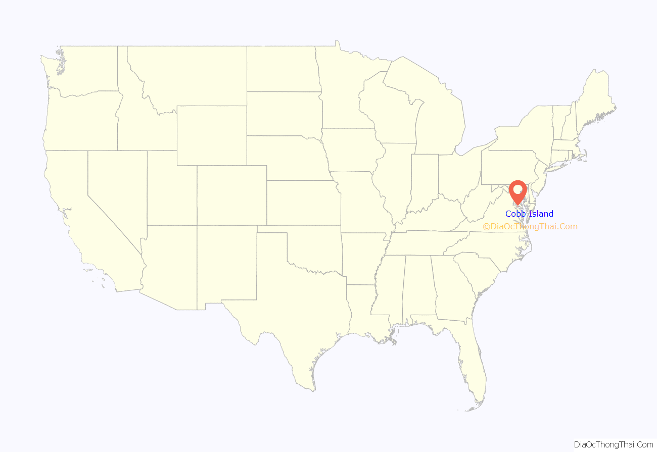
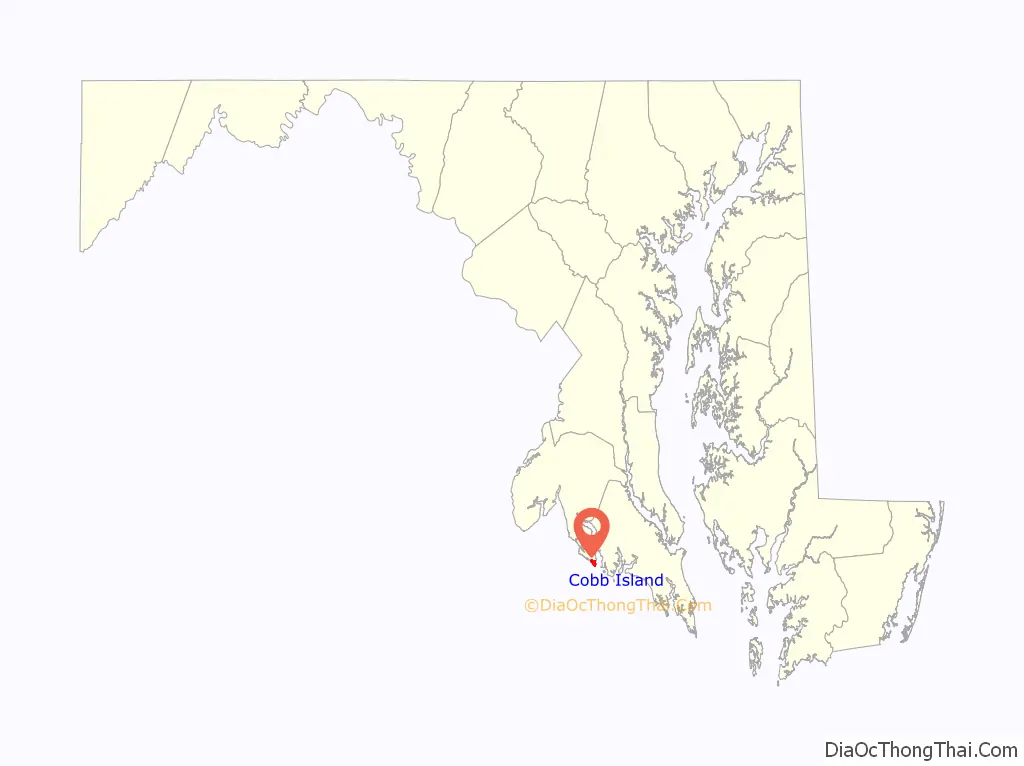
Cobb Island location map. Where is Cobb Island CDP?
History
Name origin and privateer past
The Island was owned in 1642 by James Neal, a privateer (a legal pirate working for the British Empire) who captured Spanish ships bearing treasure to Spain from Central America. Captured Spanish coins were cut into “cobbs” (smaller coins) and distributed to Maryland colonists, which led to the name “Cobb Island”.
World’s first human voice radio transmission
On December 23, 1900, Reginald Aubrey Fessenden sent and received the first intelligible speech by electromagnetic waves on a pair of masts 50 feet (15 m) high and 1 mile (1.6 km) apart on Cobb Island. Fessenden was using a spark transmitter with a Kintner-Brashear interrupter.
20th century and later
Robert Crain bought Cobb Island and organized the Cobb Island Development Company. In 1922 and 1923, the company constructed roads, a summer resort and a bridge to the island.
Cobb Island Road Map
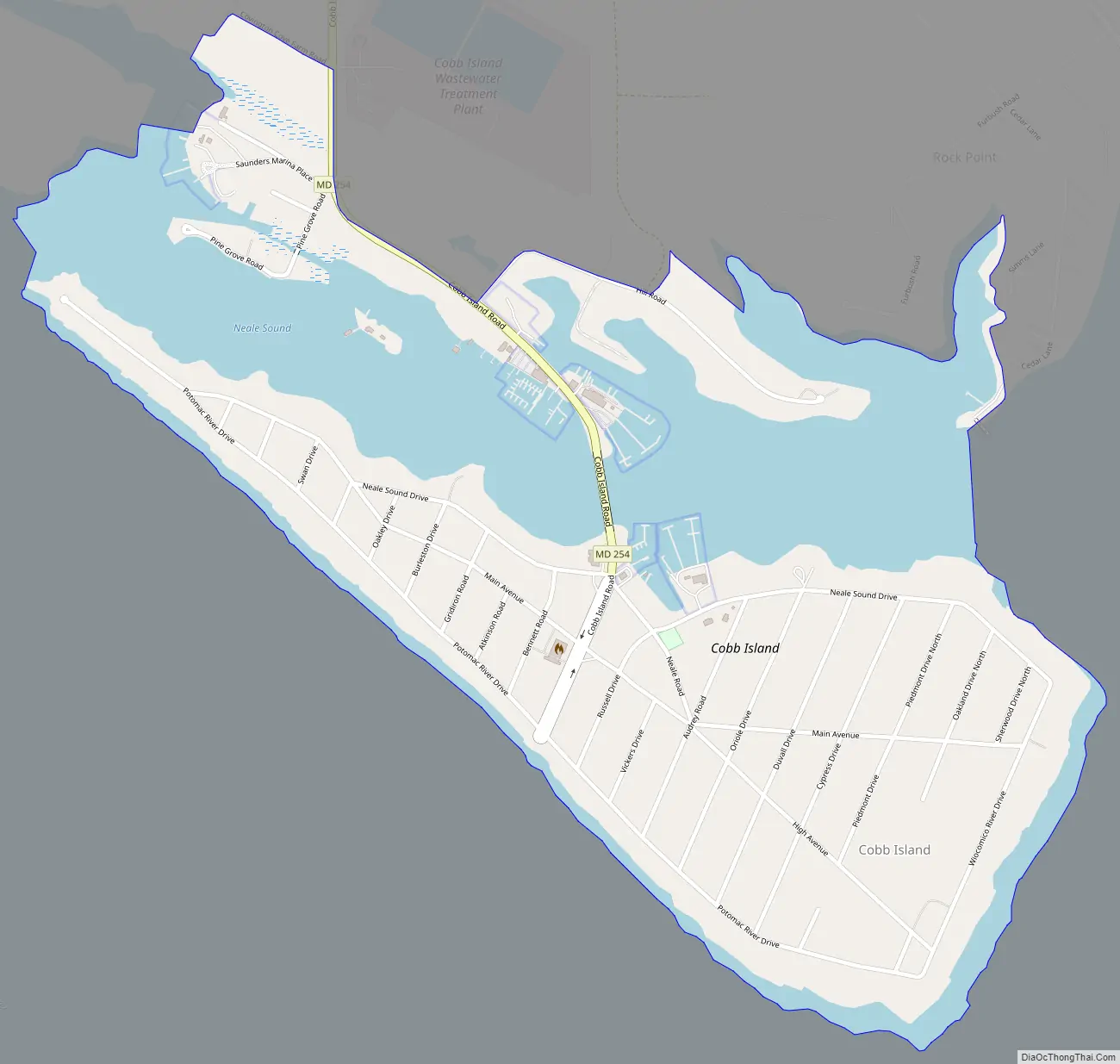
Cobb Island city Satellite Map
See also
Map of Maryland State and its subdivision: Map of other states:- Alabama
- Alaska
- Arizona
- Arkansas
- California
- Colorado
- Connecticut
- Delaware
- District of Columbia
- Florida
- Georgia
- Hawaii
- Idaho
- Illinois
- Indiana
- Iowa
- Kansas
- Kentucky
- Louisiana
- Maine
- Maryland
- Massachusetts
- Michigan
- Minnesota
- Mississippi
- Missouri
- Montana
- Nebraska
- Nevada
- New Hampshire
- New Jersey
- New Mexico
- New York
- North Carolina
- North Dakota
- Ohio
- Oklahoma
- Oregon
- Pennsylvania
- Rhode Island
- South Carolina
- South Dakota
- Tennessee
- Texas
- Utah
- Vermont
- Virginia
- Washington
- West Virginia
- Wisconsin
- Wyoming