Cordova is a village in Talbot County, Maryland, United States. The population was 592 at the 2000 census.
| Name: | Cordova CDP |
|---|---|
| LSAD Code: | 57 |
| LSAD Description: | CDP (suffix) |
| State: | Maryland |
| County: | Talbot County |
| Elevation: | 46 ft (14 m) |
| Total Area: | 4.87 sq mi (12.62 km²) |
| Land Area: | 4.87 sq mi (12.62 km²) |
| Water Area: | 0.00 sq mi (0.00 km²) |
| Total Population: | 551 |
| Population Density: | 113.10/sq mi (43.66/km²) |
| ZIP code: | 21625 |
| Area code: | 410 |
| FIPS code: | 2419900 |
| GNISfeature ID: | 0590022 |
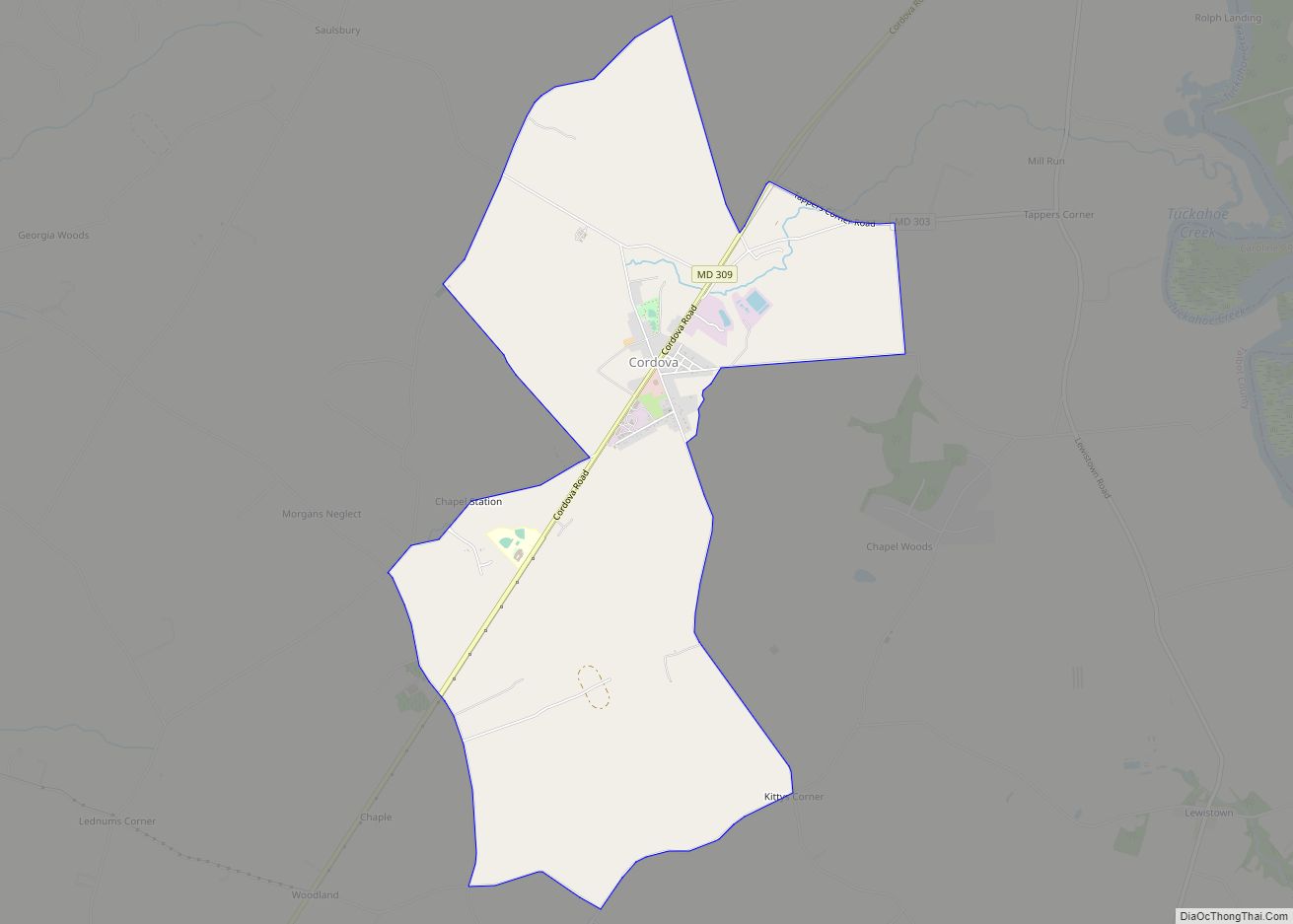
Online Interactive Map
Click on ![]() to view map in "full screen" mode.
to view map in "full screen" mode.
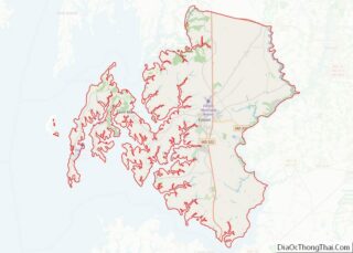
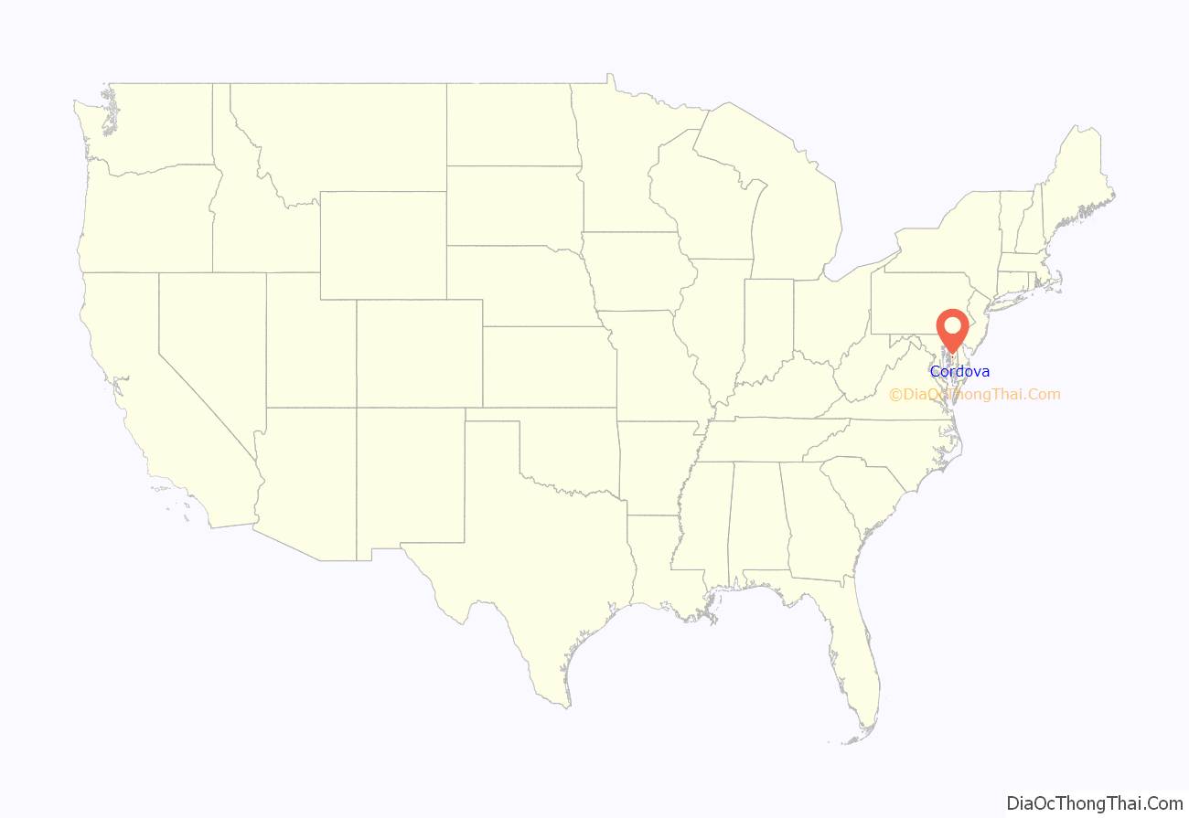
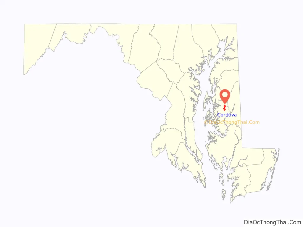
Cordova location map. Where is Cordova CDP?
History
Just north of town, St. Joseph Roman Catholic Church was founded on a farm in 1765.
Tapper’s Corner Road runs east of town to Lewistown Road, near the head of a creek which flows (38°53′04″N 75°57′29″W / 38.8845°N 75.958°W / 38.8845; -75.958) into the Tuckahoe; this creek was called Kentucky, nearby once stood the cabin of Betsey Bailey, the grandmother of Frederick Douglass; he believed he was born there.
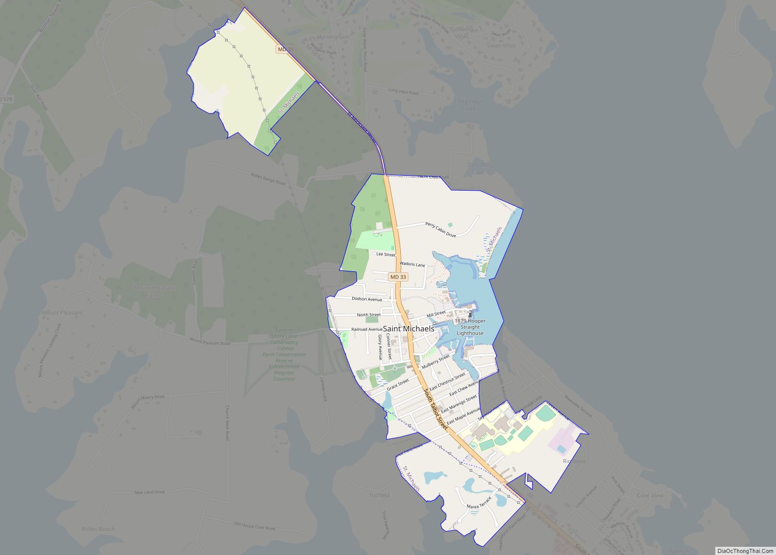
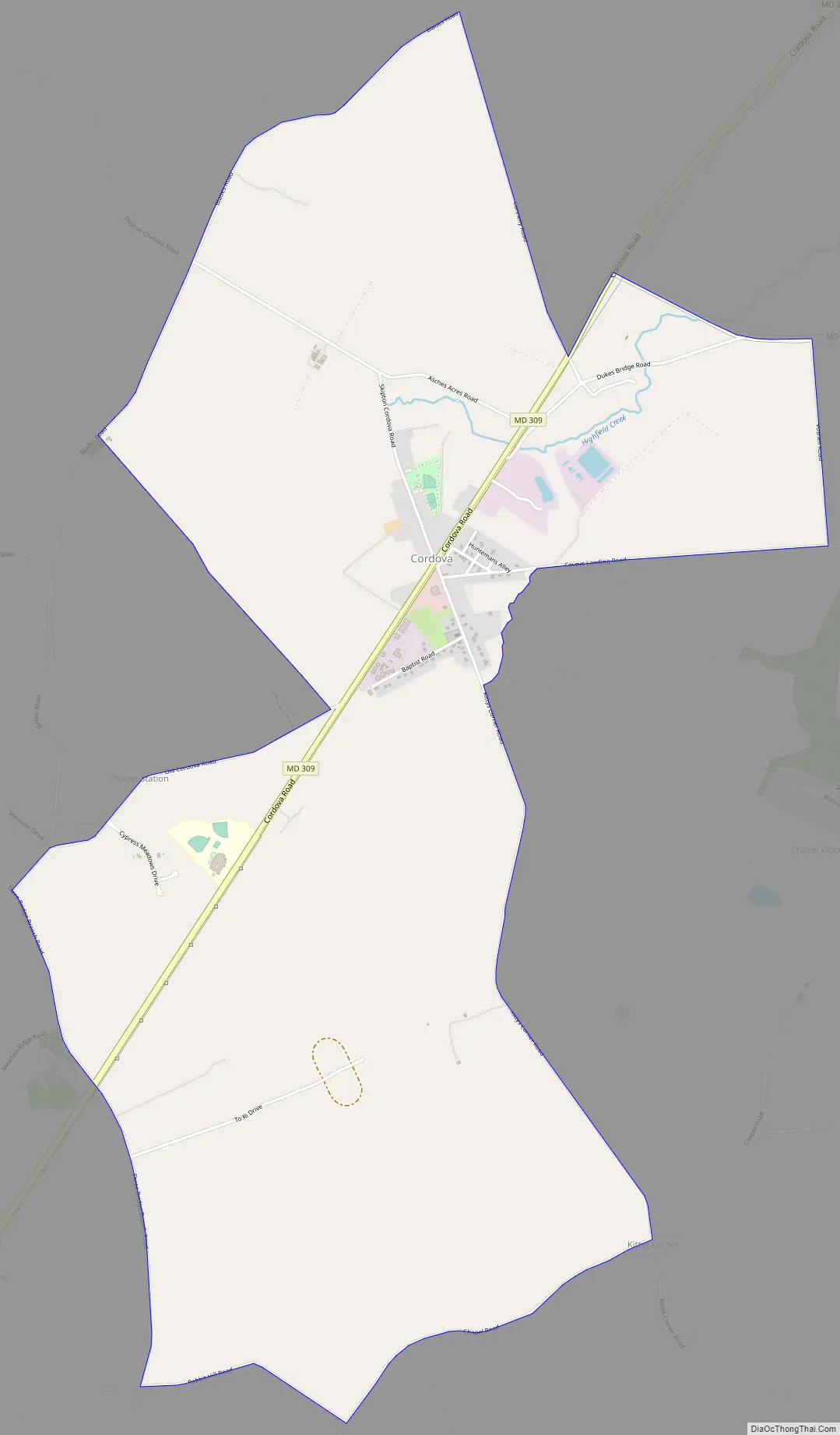
Cordova Road Map
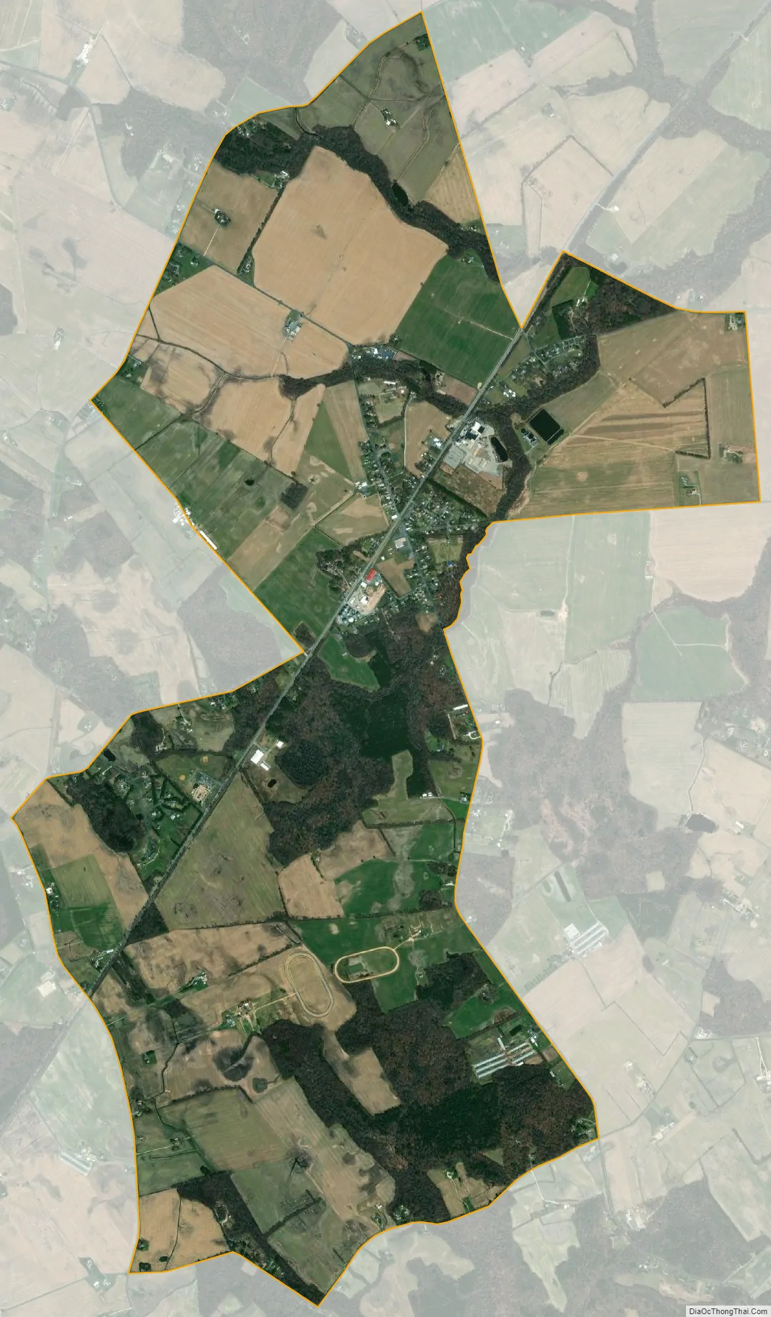
Cordova city Satellite Map
Geography
Cordova is located at 38°52′40″N 75°59′28″W / 38.87778°N 75.99111°W / 38.87778; -75.99111 (38.877699, −75.990973).
According to the United States Census Bureau, the CDP has a total area of 4.9 square miles (13 km), all land.
See also
Map of Maryland State and its subdivision: Map of other states:- Alabama
- Alaska
- Arizona
- Arkansas
- California
- Colorado
- Connecticut
- Delaware
- District of Columbia
- Florida
- Georgia
- Hawaii
- Idaho
- Illinois
- Indiana
- Iowa
- Kansas
- Kentucky
- Louisiana
- Maine
- Maryland
- Massachusetts
- Michigan
- Minnesota
- Mississippi
- Missouri
- Montana
- Nebraska
- Nevada
- New Hampshire
- New Jersey
- New Mexico
- New York
- North Carolina
- North Dakota
- Ohio
- Oklahoma
- Oregon
- Pennsylvania
- Rhode Island
- South Carolina
- South Dakota
- Tennessee
- Texas
- Utah
- Vermont
- Virginia
- Washington
- West Virginia
- Wisconsin
- Wyoming