Easton is an incorporated town in and the county seat of Talbot County, Maryland, United States. The population was 15,945 at the 2010 census, with an estimated population in 2019 of 16,671. The primary ZIP Code is 21601, and the secondary is 21606. The primary phone exchange is 822, the auxiliary exchanges are 820, 763, and 770, and the area code is 410.
| Name: | Easton town |
|---|---|
| LSAD Code: | 43 |
| LSAD Description: | town (suffix) |
| State: | Maryland |
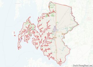
| County: | Talbot County |
| Incorporated: | 1790 |
| Elevation: | 23 ft (7 m) |
| Total Area: | 11.52 sq mi (29.84 km²) |
| Land Area: | 11.46 sq mi (29.68 km²) |
| Water Area: | 0.06 sq mi (0.16 km²) |
| Total Population: | 17,101 |
| Population Density: | 1,492.23/sq mi (576.15/km²) |
| Area code: | 410 |
| FIPS code: | 2424475 |
| GNISfeature ID: | 0584235 |
| Website: | www.town-eastonmd.com |
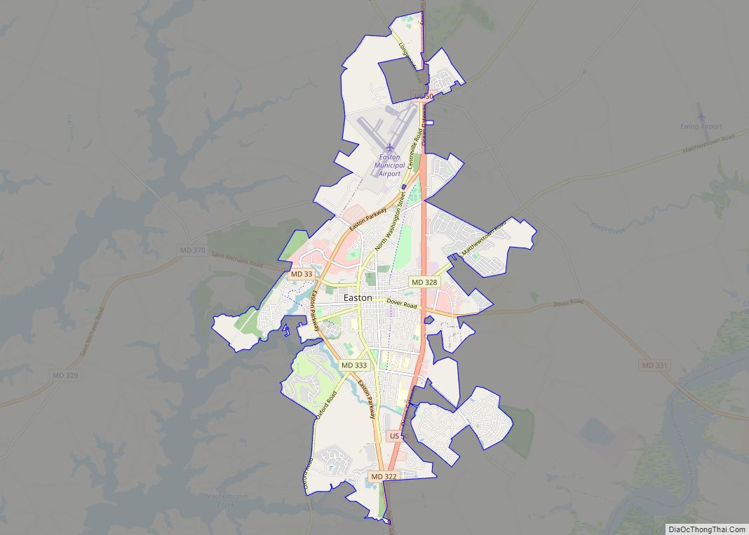
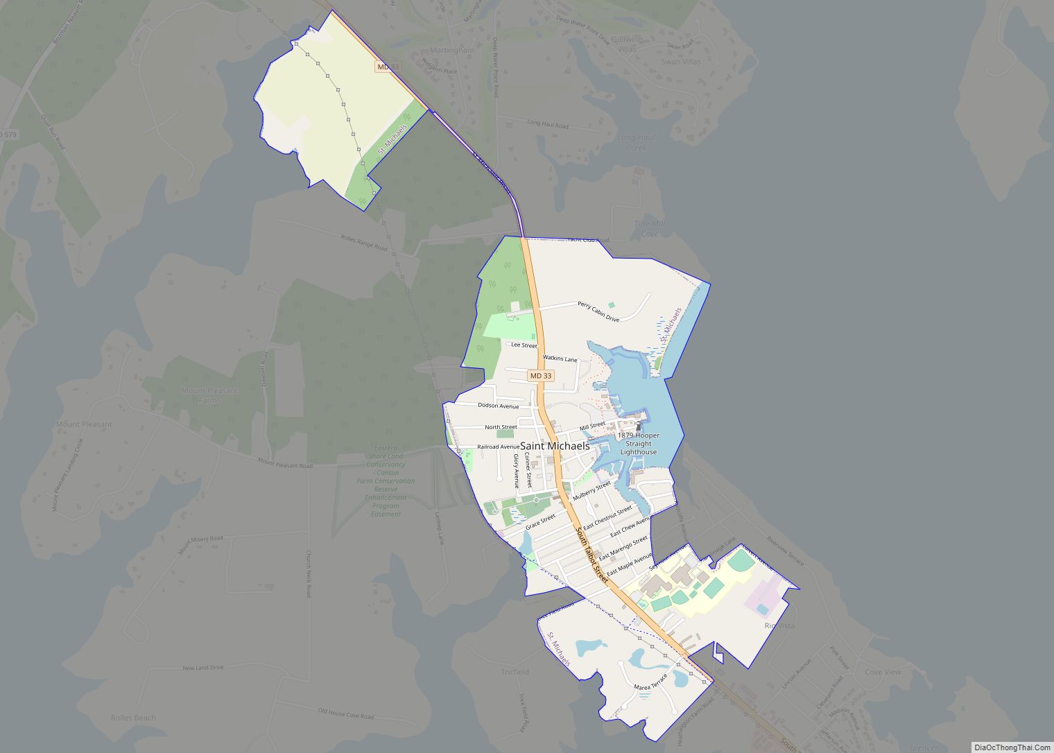
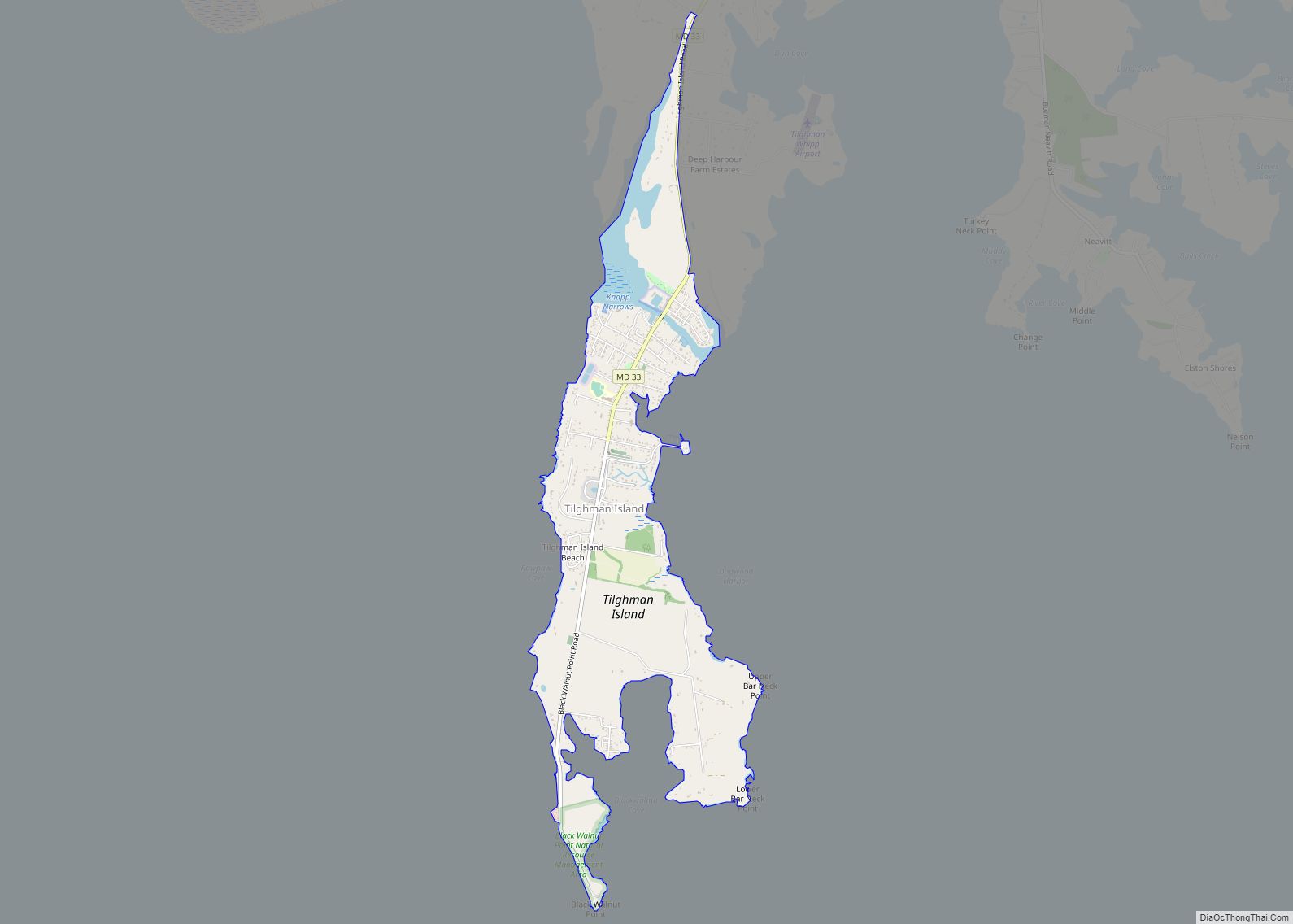
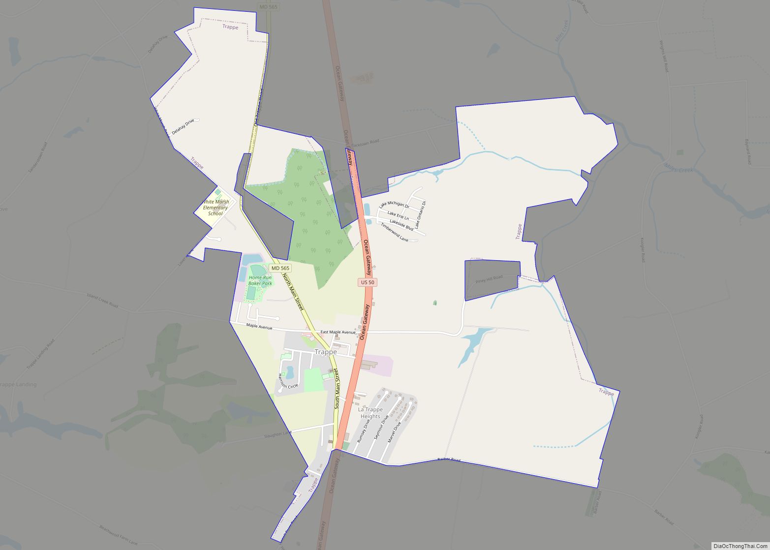
Online Interactive Map
Click on ![]() to view map in "full screen" mode.
to view map in "full screen" mode.
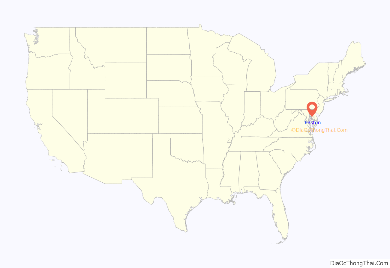
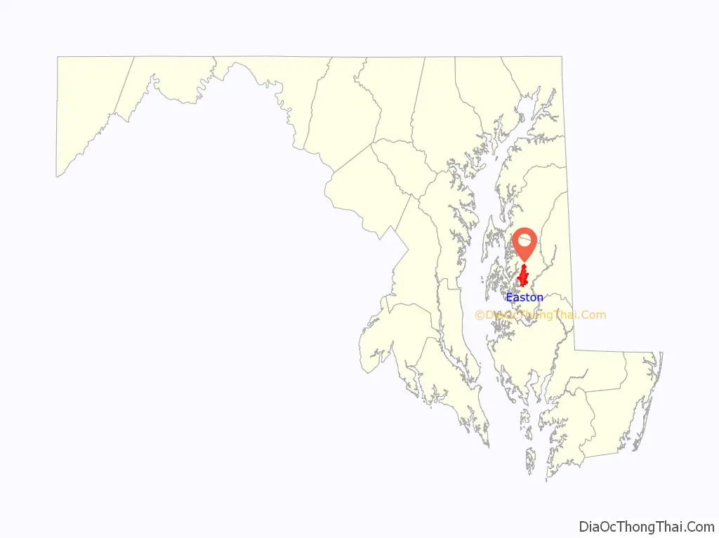
Easton location map. Where is Easton town?
History
18th century
The town of Easton received its official beginning from an Act of the Assembly of the Province of Maryland dated November 4, 1710. The act was entitled, “An Act for the Building of a Court House for Talbot County, at Armstrong’s Old Field near Pitt’s Bridge”. Pitt’s Bridge crossed a stream forming the headwaters of the Tred Avon or Third Haven River. It was located at a point where North Washington Street crosses this stream, now enclosed in culverts, north of the Talbottown Shopping Center, and passes under the Electric Plant property. Prior to this date, the court had met at York, near the mouth of Skipton Creek. The court decided that this location was not convenient to all sections of the county and, in order to change the location, the above act of the Assembly was passed. As a result of this act, two acres of land were purchased from Philemon Armstrong, at a cost of 15,000 pounds of tobacco. Upon this tract, the same plot upon which the present Talbot County Courthouse now stands, the court house, a brick building 20 x 30 feet, was erected at a cost of 115,000 pounds of tobacco. The courts of the county were held in this building from 1712 until 1794. A tavern to accommodate those who attended court was one of the first buildings erected; stores and dwellings followed. The village was then known as “Talbot Court House”. These were not the first buildings in the area. The frame meeting house of the Society of Friends was built between 1682 and 1684. The Wye plantation was settled in the 1650s by Welsh Puritan and wealthy planter Edward Lloyd and is owned and occupied by the 11th generation of that family.
Easton may be named because of its location east of Saint Michaels, however it is more likely that it was named after Easton in Somersetshire, England.
20th century
In 1916, the town erected the “Talbot Boys” statue in honor of Confederate soldiers from Talbot County. It stood for 107 years.
21st century
In 2005, the movie Wedding Crashers was released, most of which was filmed at the Ellenborough Estate.
In 2008, a lost painting of a Paris street scene by Édouard Cortès was discovered amongst donated items at a Goodwill Industries store in Easton. After an alert store manager noticed that it was a signed original, the painting was auctioned for $40,600 at Sotheby’s.
In 2011, local officials erected a statue of Frederick Douglass, the noted abolitionist, who was born a slave in 1818 at Wye House plantation near Easton.
In 2015, and again in August 2020, the Talbot County Council voted against removing the Talbot Boys statue, but in September 2021, the council voted to remove the statue. On March 14, 2022, the statue was removed.
In 2018, Easton was named one of America’s top 5 coolest places to buy a vacation home by Forbes.
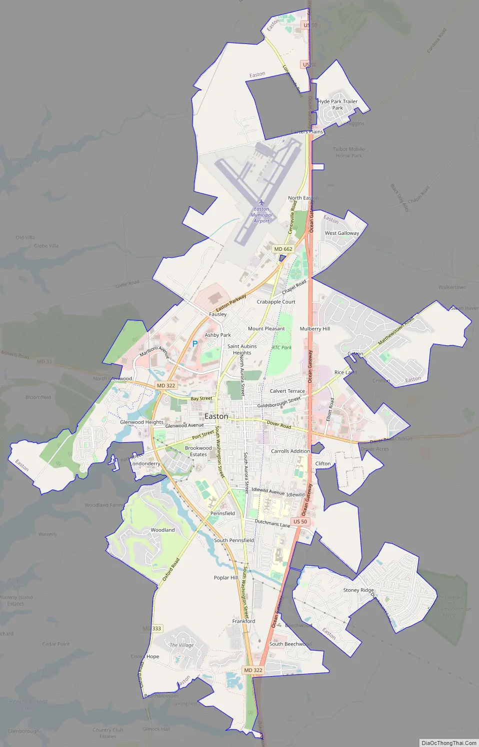
Easton Road Map
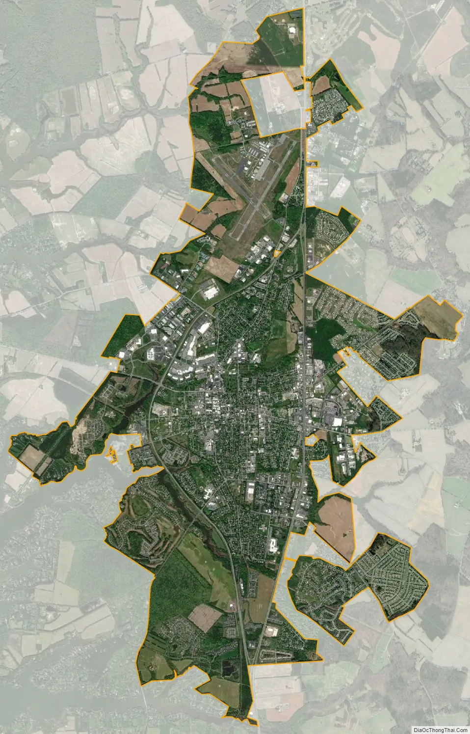
Easton city Satellite Map
Geography
According to the United States Census Bureau, the town has a total area of 10.67 square miles (27.64 km), of which 10.56 square miles (27.35 km) is land and 0.11 square miles (0.28 km) is water.
Climate
The climate in this area is characterized by hot, humid summers and generally mild to cool winters. According to the Köppen climate classification system, Easton has a humid subtropical climate (Cfa).
See also
Map of Maryland State and its subdivision: Map of other states:- Alabama
- Alaska
- Arizona
- Arkansas
- California
- Colorado
- Connecticut
- Delaware
- District of Columbia
- Florida
- Georgia
- Hawaii
- Idaho
- Illinois
- Indiana
- Iowa
- Kansas
- Kentucky
- Louisiana
- Maine
- Maryland
- Massachusetts
- Michigan
- Minnesota
- Mississippi
- Missouri
- Montana
- Nebraska
- Nevada
- New Hampshire
- New Jersey
- New Mexico
- New York
- North Carolina
- North Dakota
- Ohio
- Oklahoma
- Oregon
- Pennsylvania
- Rhode Island
- South Carolina
- South Dakota
- Tennessee
- Texas
- Utah
- Vermont
- Virginia
- Washington
- West Virginia
- Wisconsin
- Wyoming