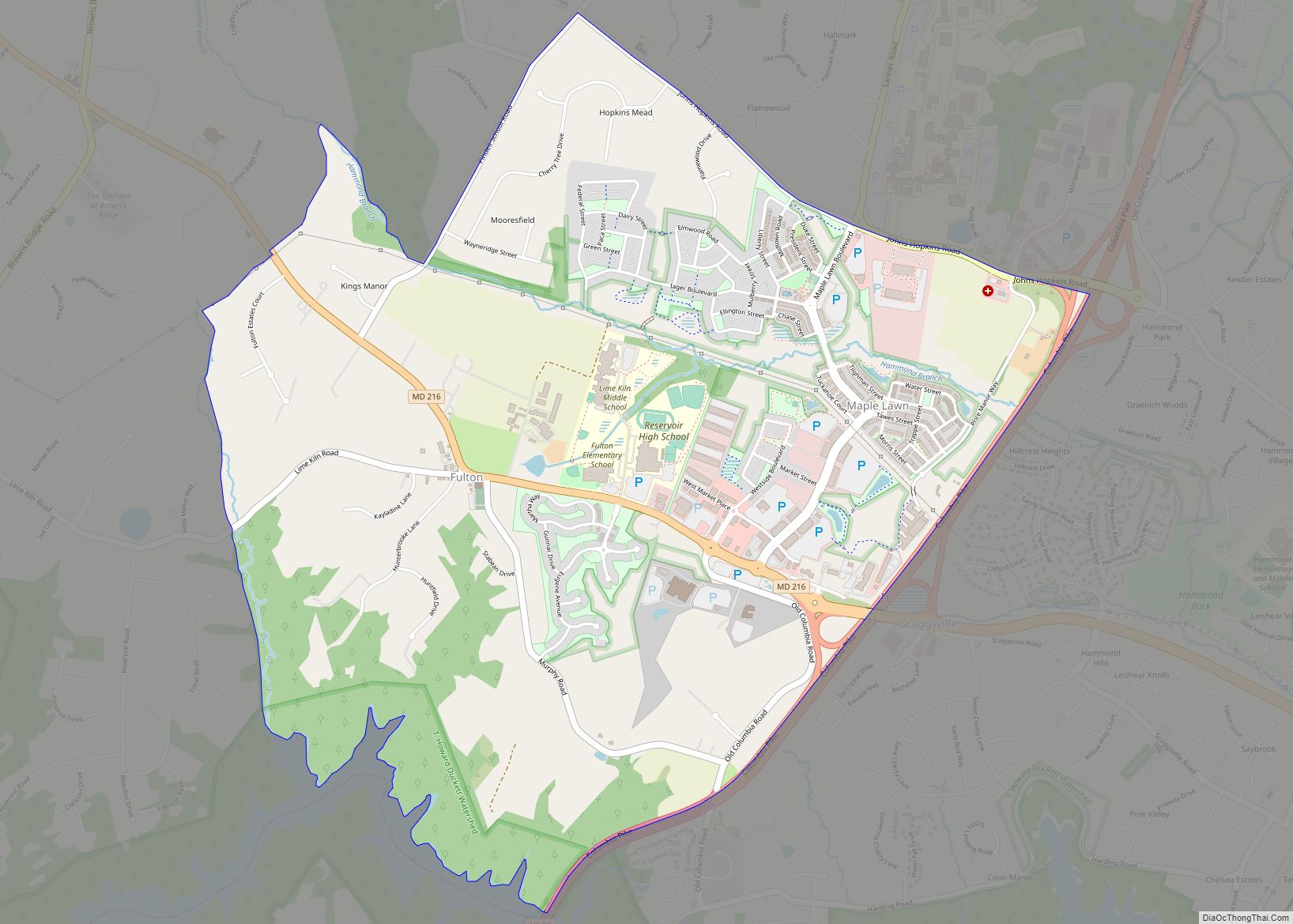
Fulton is a census-designated place located in southern Howard County, Maryland, United States. As of the 2010 census it had a population of 2,049.
| Name: | Fulton CDP |
|---|---|
| LSAD Code: | 57 |
| LSAD Description: | CDP (suffix) |
| State: | Maryland |
| County: | Howard County |
| Elevation: | 453 ft (138 m) |
| Total Area: | 3.79 sq mi (9.83 km²) |
| Land Area: | 3.79 sq mi (9.81 km²) |
| Water Area: | 0.01 sq mi (0.02 km²) |
| Total Population: | 5,916 |
| Population Density: | 1,562.60/sq mi (603.33/km²) |
| ZIP code: | 20759, 20723 |
| Area code: | 240 and 301 |
| FIPS code: | 2431025 |
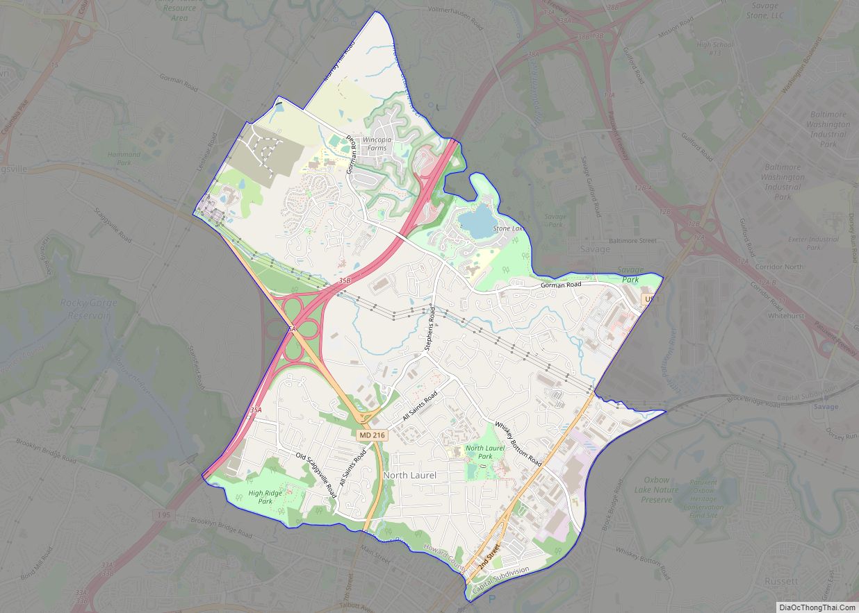
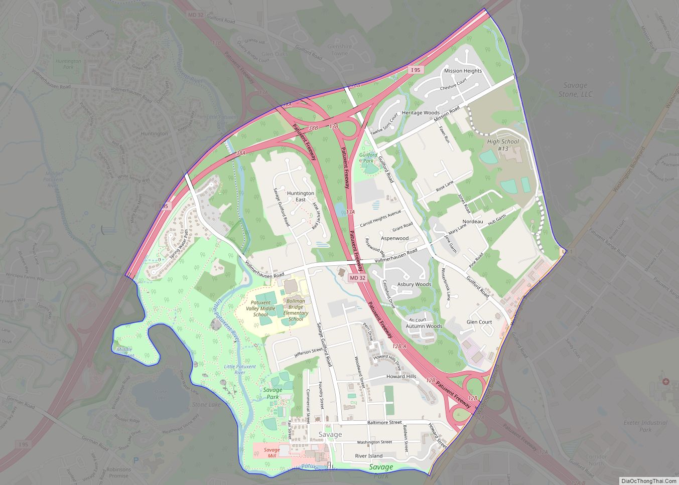
Online Interactive Map
Click on ![]() to view map in "full screen" mode.
to view map in "full screen" mode.
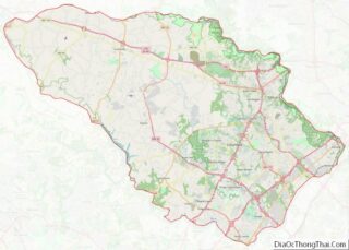
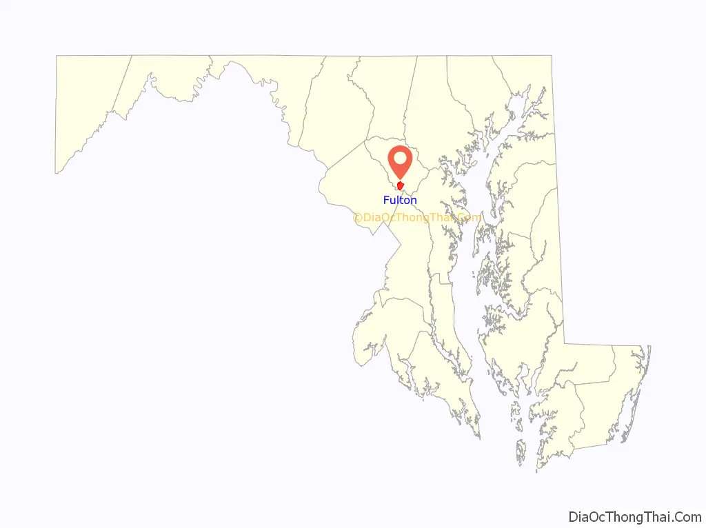
Fulton location map. Where is Fulton CDP?

History
Indigenous peoples, likely Piscataway, used the land now known as Fulton for hunting and farming. The land’s first European survey was by Thomas Browne, known as the “Patuxent Ranger”, in 1700. In the mid-1700s Richard Snowden, the Quaker grandson of one of Maryland’s first iron ore producers, purchased tracts of land up the Patuxent River valley. Fulton was then known as Queen Caroline Parish. In 1803 Rezin Hammond settled on a parcel of the land, and by 1805 Fulton was known as Hammond Directions and Snowden Second Addition. In 1855 German immigrants settled in the area.
By 1871, St Paul’s Lutheran was founded to serve the German farming community and was expanded in 1933. By 1878 Fulton opened school house #3, a one-room school house for white children a half mile west of town that operated until 1939. The area was referred to as “Water’s Store”, for Richard Waters’ blacksmith operation and post office which opened on December 29, 1874.
The name was changed to “Fulton”, after the popular Baltimore Sun editor Charles C. Fulton on 28 March 1882. Albert W. Bradey purchased the Fulton corner stores of his father and Smallwood, operating it until his death in a house fire at the age of 90.
In 1839, Heinrich Iager purchased 108 acres (44 ha) of farmland expanding to 185 acres (75 ha)s forming Maple Lawn Farms. In 1938, the farm began its current free-range turkey operations under the “Sho-Nuf” brand name. The farm was nationally recognized in 2004 for the registered Holsteins used in its dairy operations. The Ellsworth Iager farm took advantage of cheap POW labor through 1945.
In the late 1990s, Fulton sat between the heavily developed areas of eastern Howard County, with water and sewer service, and the preserved western areas which used well water. Developer Greenebaum & Rose Associates proposed a dense 1,168-unit mixed use project for a portion of the 506-acre (205 ha) farm. In January 1998, Councilman Darrell Drown felt that the zoning would take only a night or two, and accommodated the developer with expedited hearings. The first phase of zoning faced multiple contentious votes and 32 record-length hearings between pro-development and rural supporters.
In 2013, the Howard County Department of Planning and Zoning sought to expand water and sewer service so that the remaining Maple Lawn property could be developed at maximum density. A 7,000-person referendum attempt was launched and suppressed by the landowners’ attorney, William Erskine, who sits on the economic development agency as well as the same law firm as County Executive Ken Ulman’s father.
Historic local places of worship include Grace Community Church, St. Francis of Assisi Catholic Church, and St. Paul’s Lutheran Church, which was built in the 1870s by a group of mostly German families after originally meeting in each other’s homes since the 1860s.
Fulton Road Map
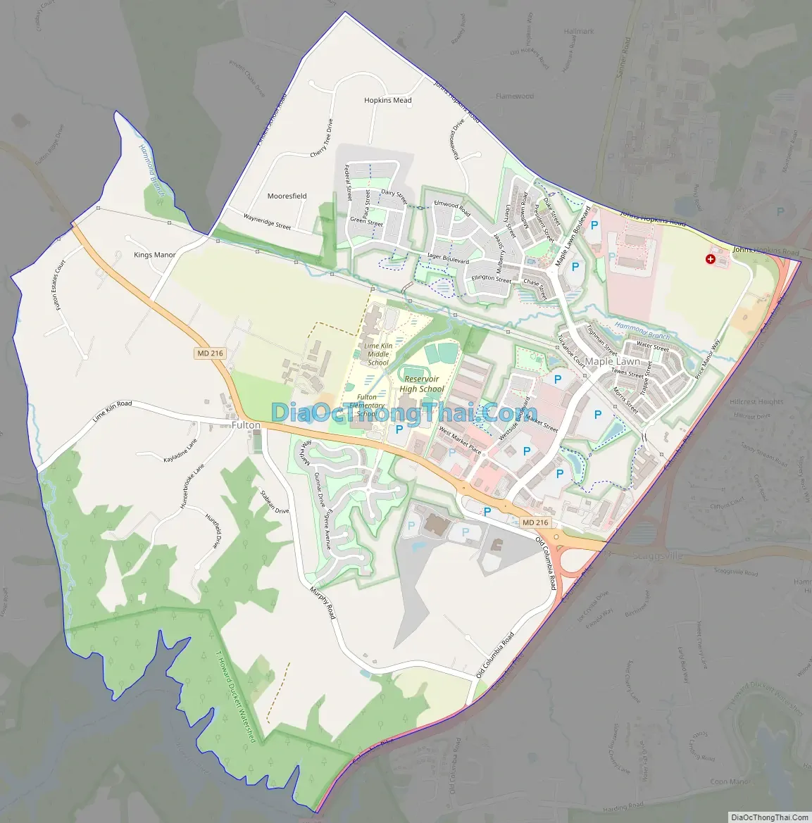
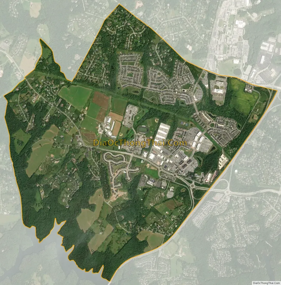
Fulton city Satellite Map
Geography
Fulton is located in southern Howard County, bordered on the south by the Patuxent River and on the east by U.S. Route 29. The community of Scaggsville is to the east across US 29, and the Montgomery County community of Burtonsville is to the south across the Patuxent. Maryland Route 216 (Scaggsville Road) is the main east–west road through Fulton, which passes through nearby North Laurel and then the city of Laurel in Prince George’s County. Downtown Baltimore is 21 miles (34 km) to the northeast on Interstate 95, and downtown Washington, D.C. is 19 miles (31 km) to the south. Columbia is 5 miles (8 km) to the north on US 29.
See also
Map of Maryland State and its subdivision: Map of other states:- Alabama
- Alaska
- Arizona
- Arkansas
- California
- Colorado
- Connecticut
- Delaware
- District of Columbia
- Florida
- Georgia
- Hawaii
- Idaho
- Illinois
- Indiana
- Iowa
- Kansas
- Kentucky
- Louisiana
- Maine
- Maryland
- Massachusetts
- Michigan
- Minnesota
- Mississippi
- Missouri
- Montana
- Nebraska
- Nevada
- New Hampshire
- New Jersey
- New Mexico
- New York
- North Carolina
- North Dakota
- Ohio
- Oklahoma
- Oregon
- Pennsylvania
- Rhode Island
- South Carolina
- South Dakota
- Tennessee
- Texas
- Utah
- Vermont
- Virginia
- Washington
- West Virginia
- Wisconsin
- Wyoming