Glen Echo is a town in Montgomery County, Maryland, United States, that was chartered in 1904. The population was 255 at the 2010 census.
| Name: | Glen Echo town |
|---|---|
| LSAD Code: | 43 |
| LSAD Description: | town (suffix) |
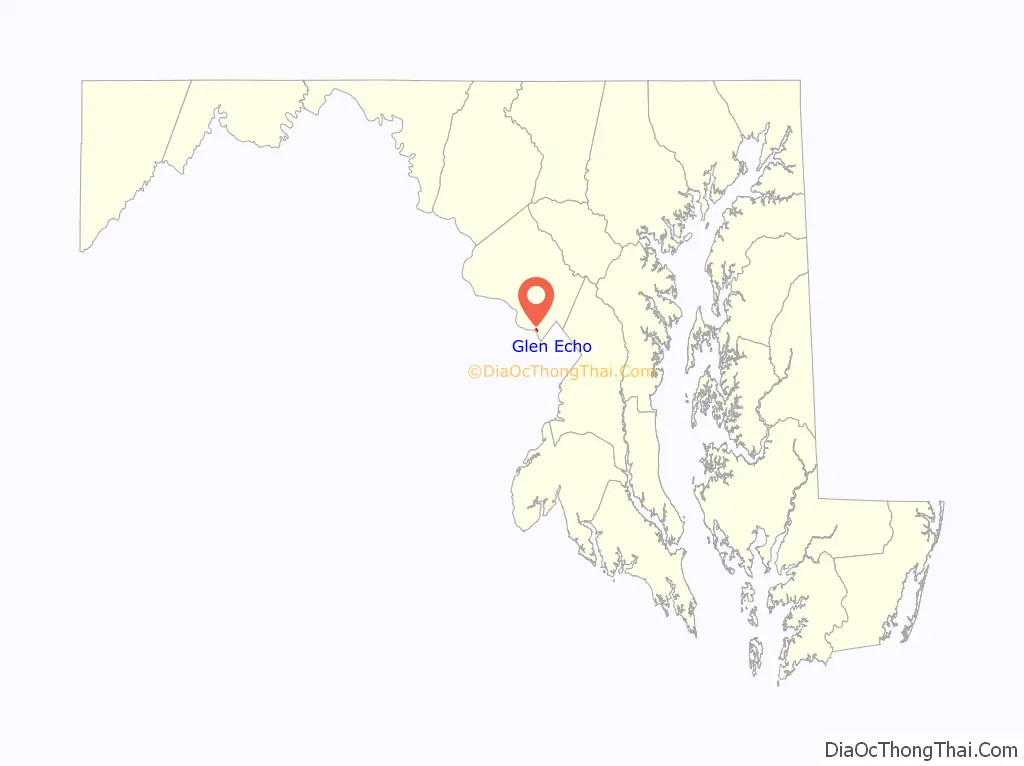
| State: | Maryland |
| County: | Montgomery County |
| Incorporated: | 1904 |
| Elevation: | 135 ft (41 m) |
| Total Area: | 0.10 sq mi (0.27 km²) |
| Land Area: | 0.10 sq mi (0.27 km²) |
| Water Area: | 0.00 sq mi (0.00 km²) |
| Total Population: | 279 |
| Population Density: | 2,708.74/sq mi (1,050.85/km²) |
| ZIP code: | 20812 |
| Area code: | 301, 240 |
| FIPS code: | 2432900 |
| GNISfeature ID: | 0590313 |
| Website: | www.glenecho.org |
Online Interactive Map
Click on ![]() to view map in "full screen" mode.
to view map in "full screen" mode.
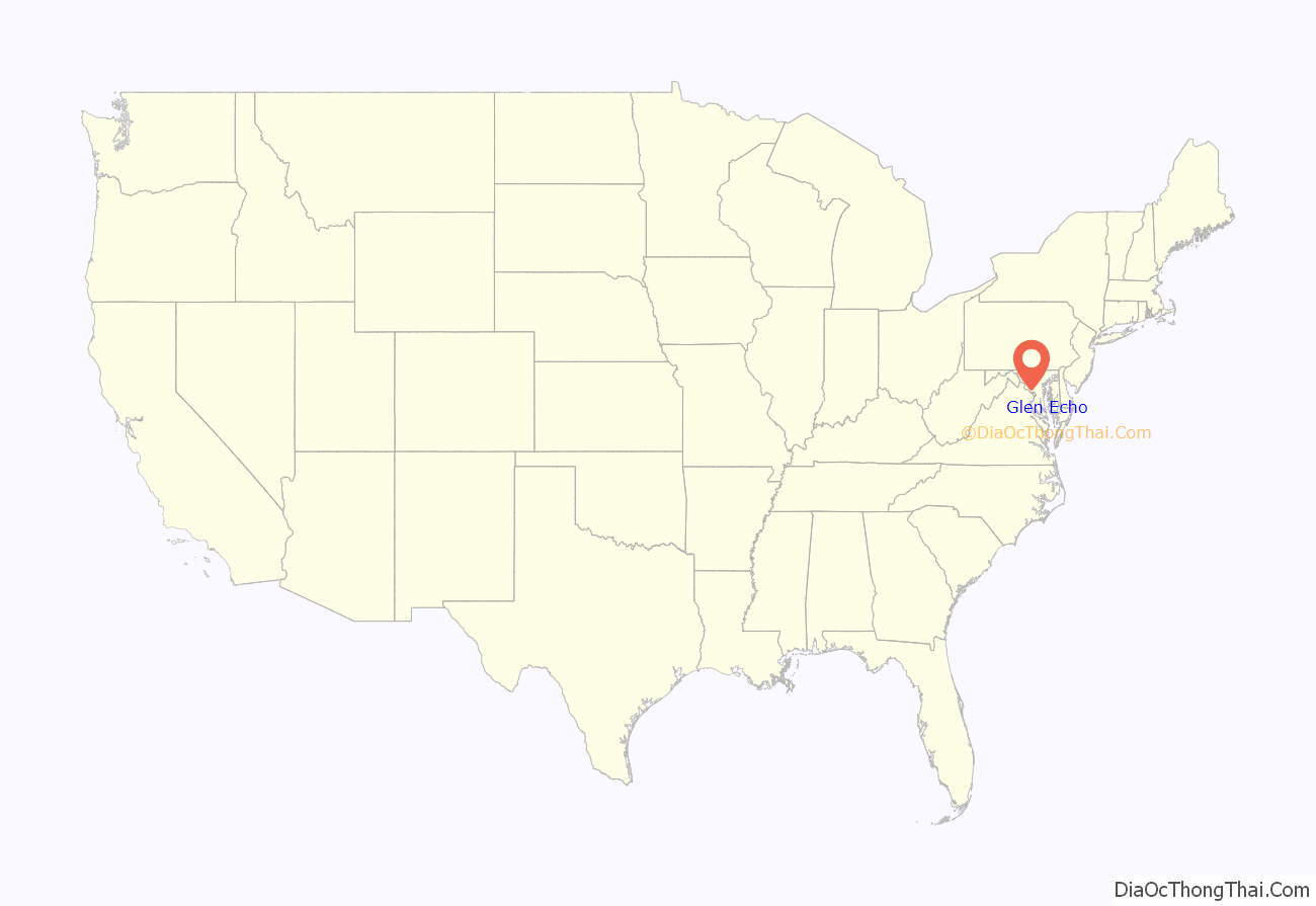
Glen Echo location map. Where is Glen Echo town?
History
Glen Echo derives its name from the name of the lots developed by Edward, and Edwin Baltzley, father of Louis E. Baltzley, and an inventor, before the town was chartered, and who came up with the name c. 1888. Their promotional booklet for the land development was titled “Glen Echo on the Potomac: The Washington Rhine”.
The town is famous for its Chautauqua cultural events and its old amusement park, the famous Glen Echo Park, now a U.S. National Park.
Clara Barton, founder of the American Red Cross, lived in Glen Echo, a streetcar ride from her office, from 1897 until her death in 1912.
In the 1980s, Glen Echo designated its town bird as the Pileated Woodpecker; insect, Spicebush Swallowtail; tree, Eastern Sycamore; and wildflower, Heartleaf Aster.
Glen Echo Road Map

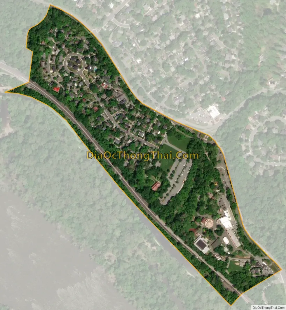
Glen Echo city Satellite Map
Geography
Glen Echo is located at 38°58′07″N 77°08′33″W / 38.968710°N 77.142451°W / 38.968710; -77.142451.
According to the United States Census Bureau, the town has a total area of 0.10 square miles (0.26 km), all land.
See also
Map of Maryland State and its subdivision: Map of other states:- Alabama
- Alaska
- Arizona
- Arkansas
- California
- Colorado
- Connecticut
- Delaware
- District of Columbia
- Florida
- Georgia
- Hawaii
- Idaho
- Illinois
- Indiana
- Iowa
- Kansas
- Kentucky
- Louisiana
- Maine
- Maryland
- Massachusetts
- Michigan
- Minnesota
- Mississippi
- Missouri
- Montana
- Nebraska
- Nevada
- New Hampshire
- New Jersey
- New Mexico
- New York
- North Carolina
- North Dakota
- Ohio
- Oklahoma
- Oregon
- Pennsylvania
- Rhode Island
- South Carolina
- South Dakota
- Tennessee
- Texas
- Utah
- Vermont
- Virginia
- Washington
- West Virginia
- Wisconsin
- Wyoming


