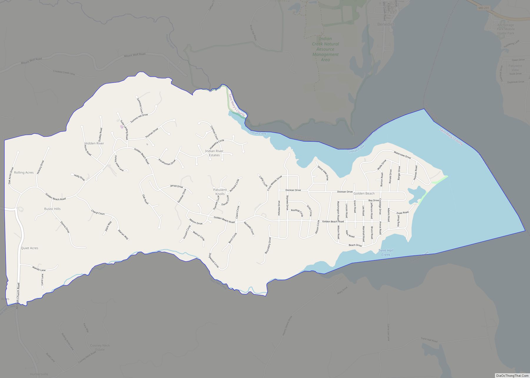
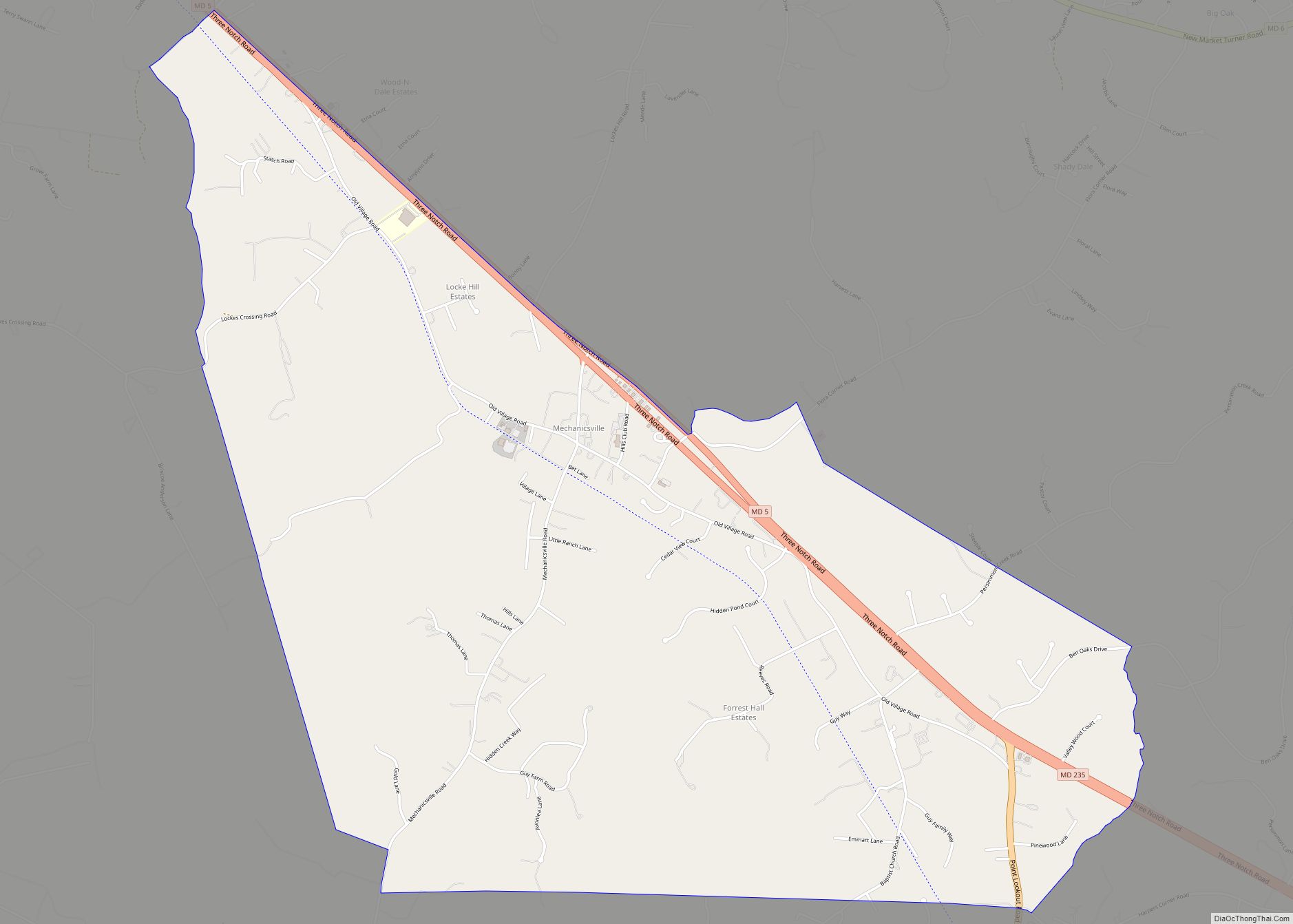
Golden Beach is an upscale census-designated place (CDP) in St. Mary’s County, Maryland, United States. The population was 3,796 at the 2010 census. It consists of a small housing development with a private beach, located within the larger postal designation of Mechanicsville. One resident is popular 1960s romantic recording artist Ronnie Dove.
| Name: | Golden Beach CDP |
|---|---|
| LSAD Code: | 57 |
| LSAD Description: | CDP (suffix) |
| State: | Maryland |
| County: | St. Mary’s County |
| Elevation: | 13 ft (4 m) |
| Total Area: | 4.65 sq mi (12.05 km²) |
| Land Area: | 3.79 sq mi (9.82 km²) |
| Water Area: | 0.86 sq mi (2.24 km²) |
| Total Population: | 3,651 |
| Population Density: | 963.07/sq mi (371.84/km²) |
| FIPS code: | 2433850 |
| GNISfeature ID: | 0594723 |
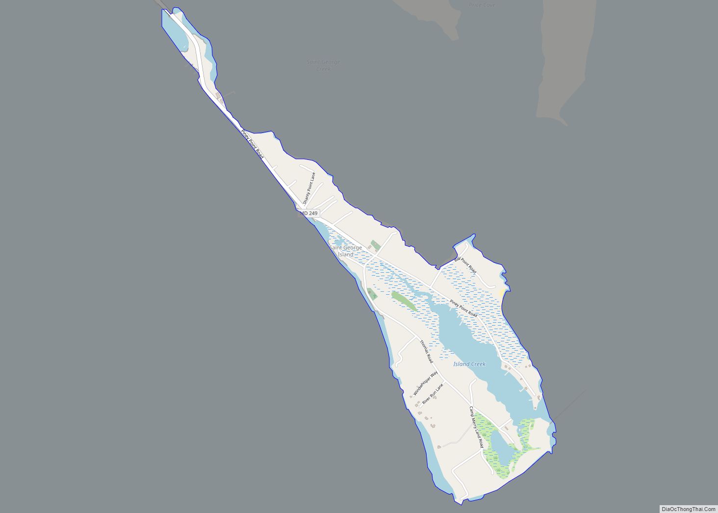
Online Interactive Map
Click on ![]() to view map in "full screen" mode.
to view map in "full screen" mode.
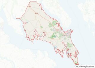
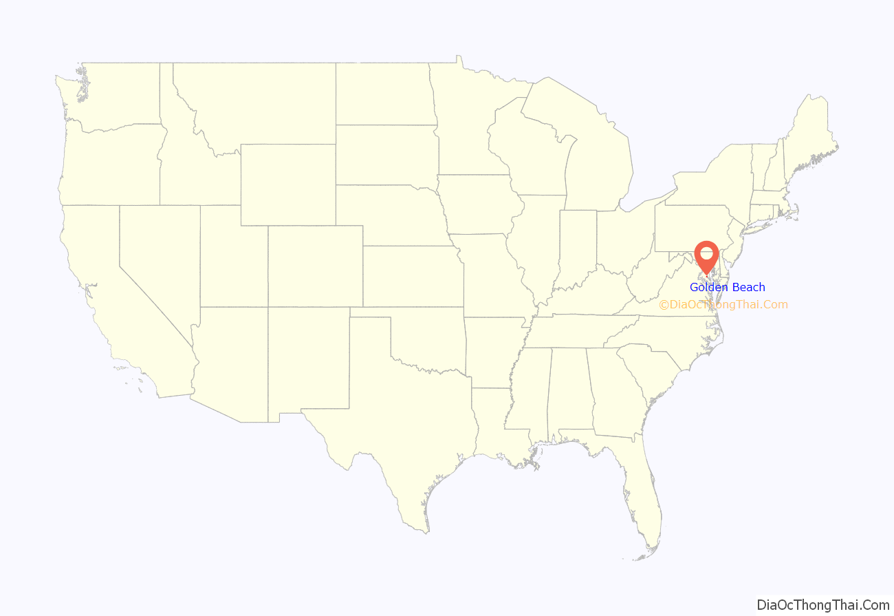
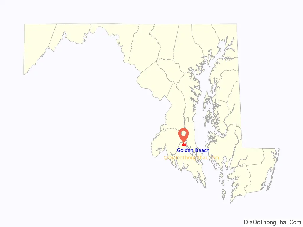
Golden Beach location map. Where is Golden Beach CDP?
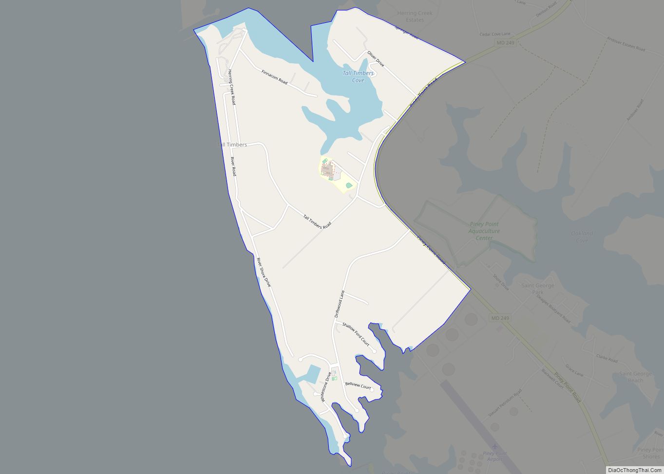
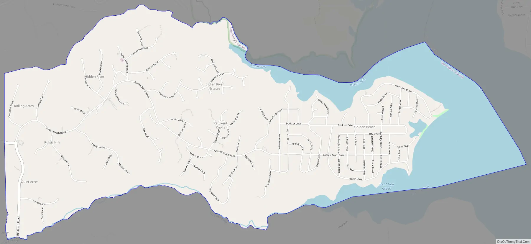
Golden Beach Road Map
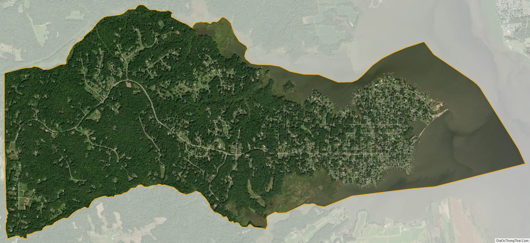
Golden Beach city Satellite Map
See also
Map of Maryland State and its subdivision: Map of other states:- Alabama
- Alaska
- Arizona
- Arkansas
- California
- Colorado
- Connecticut
- Delaware
- District of Columbia
- Florida
- Georgia
- Hawaii
- Idaho
- Illinois
- Indiana
- Iowa
- Kansas
- Kentucky
- Louisiana
- Maine
- Maryland
- Massachusetts
- Michigan
- Minnesota
- Mississippi
- Missouri
- Montana
- Nebraska
- Nevada
- New Hampshire
- New Jersey
- New Mexico
- New York
- North Carolina
- North Dakota
- Ohio
- Oklahoma
- Oregon
- Pennsylvania
- Rhode Island
- South Carolina
- South Dakota
- Tennessee
- Texas
- Utah
- Vermont
- Virginia
- Washington
- West Virginia
- Wisconsin
- Wyoming