Hampton is an unincorporated community and census-designated place (CDP) in Baltimore County, Maryland, United States. The population was 5,052 at the 2010 census. Hampton is often considered a subdivision of the nearby community of Towson and is located just north of Baltimore, about twenty minutes from downtown. Hampton contains residences situated on lots up to several acres in a park-like setting (current zoning limits density to not more than two residential units per acre). The community is anchored by its principal landmark, the Hampton National Historic Site. The Towson United Methodist Church is located in Hampton, flanked on the south by I-695 and Goucher College.
| Name: | Hampton CDP |
|---|---|
| LSAD Code: | 57 |
| LSAD Description: | CDP (suffix) |
| State: | Maryland |
| County: | Baltimore County |
| Elevation: | 338 ft (103 m) |
| Total Area: | 6.35 sq mi (16.45 km²) |
| Land Area: | 5.95 sq mi (15.41 km²) |
| Water Area: | 0.40 sq mi (1.04 km²) |
| Total Population: | 5,180 |
| Population Density: | 870.44/sq mi (336.08/km²) |
| ZIP code: | 21286 |
| Area code: | 410 / 443 |
| FIPS code: | 2436512 |
| GNISfeature ID: | 0590409 |
Online Interactive Map
Click on ![]() to view map in "full screen" mode.
to view map in "full screen" mode.
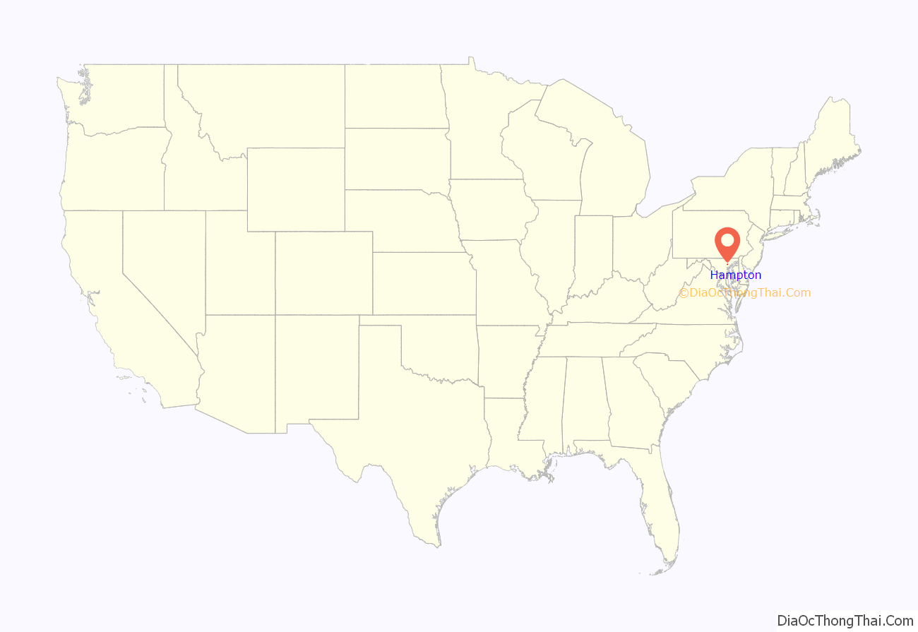
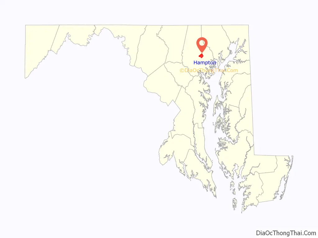
Hampton location map. Where is Hampton CDP?
History
In ancient times, the land was frequented by Susquehannock Indians, who used what became nearby Joppa Road as a trail. The area now known as Hampton was originally part of a land grant given to a relative of Lord Baltimore in 1695. His heirs sold the land on April 2, 1745, to Col. Charles Ridgely (1702–72), a tobacco farmer and trader. In the latter half of the 18th century, the Hampton Mansion was built by the Ridgely family, who used the surrounding land for farming, including apple orchards and the breeding of thoroughbred race horses, along with slave quarters.
Succeeding generations of Ridgelys continued to own the land until 1929, when the Hampton Development Company was formed and the land around the Hampton Mansion was subdivided, creating the modern Hampton community. The Hampton Mansion continued to be owned by the Ridgely family until 1948, when the house and the remaining 43 acres (170,000 m) of the Ridgely estate were designated a National Historic Site and sold to a preservation trust, eventually to be acquired and now operated by the National Park Service.
In 1958, the Towson United Methodist Church completed construction of its large Georgian-style sanctuary with a 235-foot (72 m) spire on 16 acres (65,000 m) of land in Hampton. In 2008, the church announced plans to sell a 5-acre (20,000 m) outparcel of undeveloped, wooded property to a developer for construction of a senior housing complex. A zoning change application was submitted to Baltimore County to increase density to 16 residential units per acre. However, the Hampton Improvement Association, representing neighborhood residents, objected, saying they “oppose zoning changes that would allow higher density residential development and require trees to be knocked down”. The church subsequently dropped plans for the development, saying it wished to remain a good neighbor. The church now has a walking path in the forested area for meditation, open to the public during daylight hours.
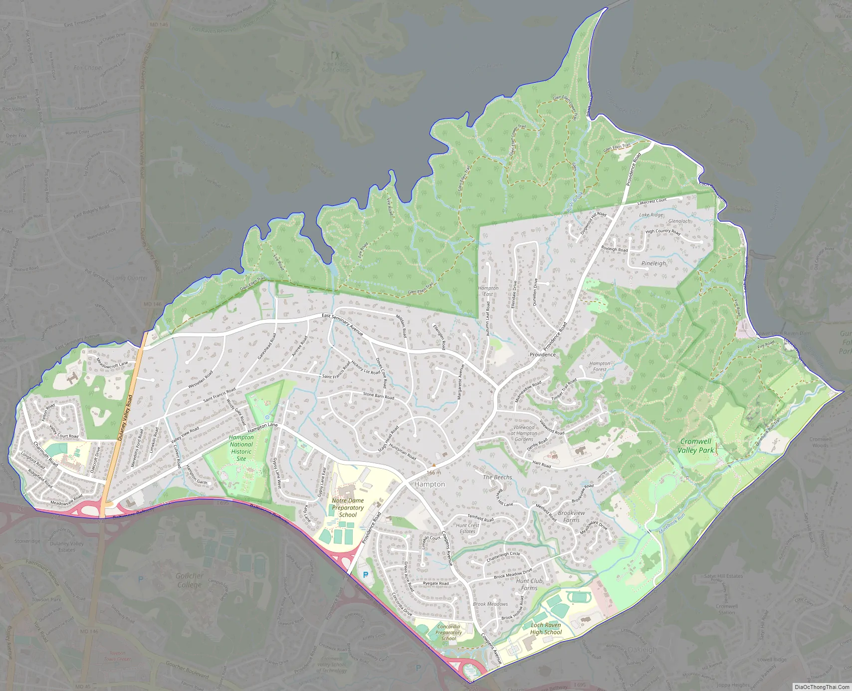
Hampton Road Map
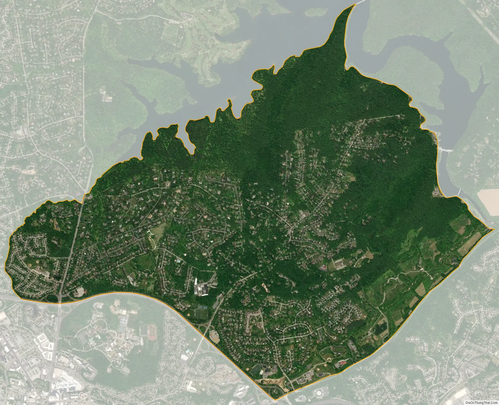
Hampton city Satellite Map
Geography
Hampton is located at 39°25′22″N 76°35′5″W / 39.42278°N 76.58472°W / 39.42278; -76.58472 (39.4229, -76.5847).
According to the United States Census Bureau, the CDP has a total area of 5.7 square miles (15 km), all land.
Climate
The climate in this area is characterized by hot, humid summers and generally mild to cool winters. According to the Köppen Climate Classification system, Hampton has a humid subtropical climate, abbreviated “Cfa” on climate maps.
See also
Map of Maryland State and its subdivision: Map of other states:- Alabama
- Alaska
- Arizona
- Arkansas
- California
- Colorado
- Connecticut
- Delaware
- District of Columbia
- Florida
- Georgia
- Hawaii
- Idaho
- Illinois
- Indiana
- Iowa
- Kansas
- Kentucky
- Louisiana
- Maine
- Maryland
- Massachusetts
- Michigan
- Minnesota
- Mississippi
- Missouri
- Montana
- Nebraska
- Nevada
- New Hampshire
- New Jersey
- New Mexico
- New York
- North Carolina
- North Dakota
- Ohio
- Oklahoma
- Oregon
- Pennsylvania
- Rhode Island
- South Carolina
- South Dakota
- Tennessee
- Texas
- Utah
- Vermont
- Virginia
- Washington
- West Virginia
- Wisconsin
- Wyoming


