Hughesville is a census-designated place (CDP) in Charles County, Maryland, United States. The population was 2,197 at the 2010 census. Truman’s Place was listed on the National Register of Historic Places in 1988.
| Name: | Hughesville CDP |
|---|---|
| LSAD Code: | 57 |
| LSAD Description: | CDP (suffix) |
| State: | Maryland |
| County: | Charles County |
| Elevation: | 180 ft (55 m) |
| Total Area: | 11.23 sq mi (29.08 km²) |
| Land Area: | 11.15 sq mi (28.88 km²) |
| Water Area: | 0.08 sq mi (0.20 km²) |
| Total Population: | 2,438 |
| Population Density: | 218.64/sq mi (84.42/km²) |
| ZIP code: | 20637 |
| Area code: | 301, 240 |
| FIPS code: | 2440700 |
| GNISfeature ID: | 0590512 |
Online Interactive Map
Click on ![]() to view map in "full screen" mode.
to view map in "full screen" mode.
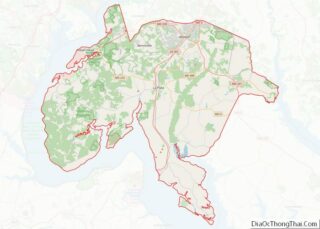
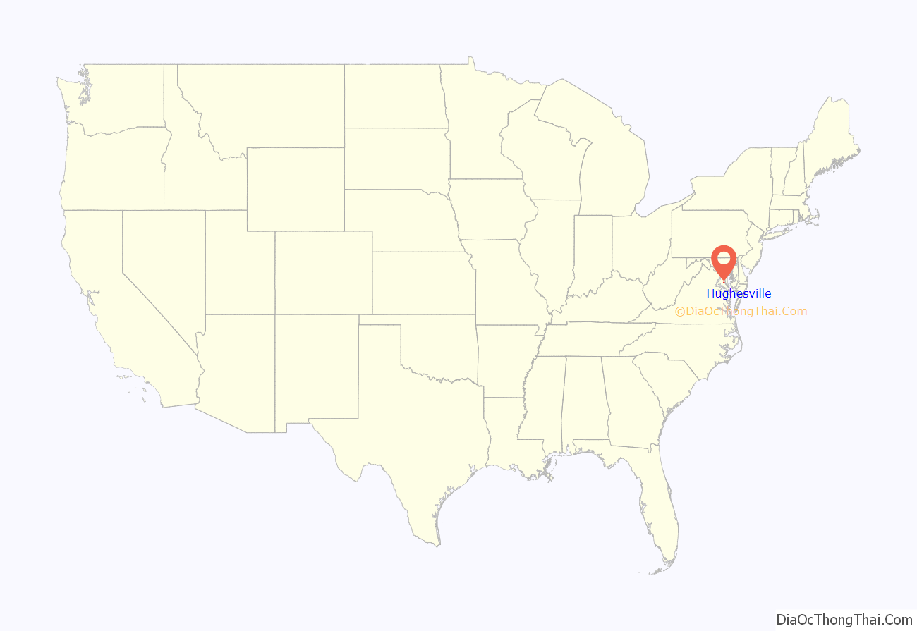
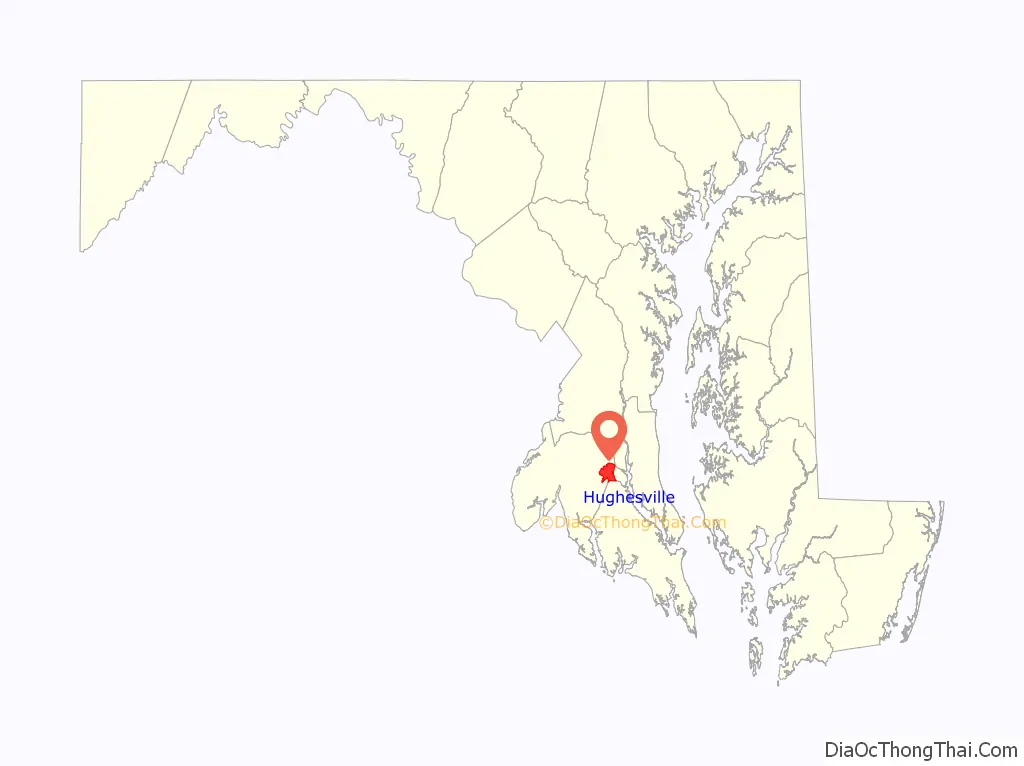
Hughesville location map. Where is Hughesville CDP?
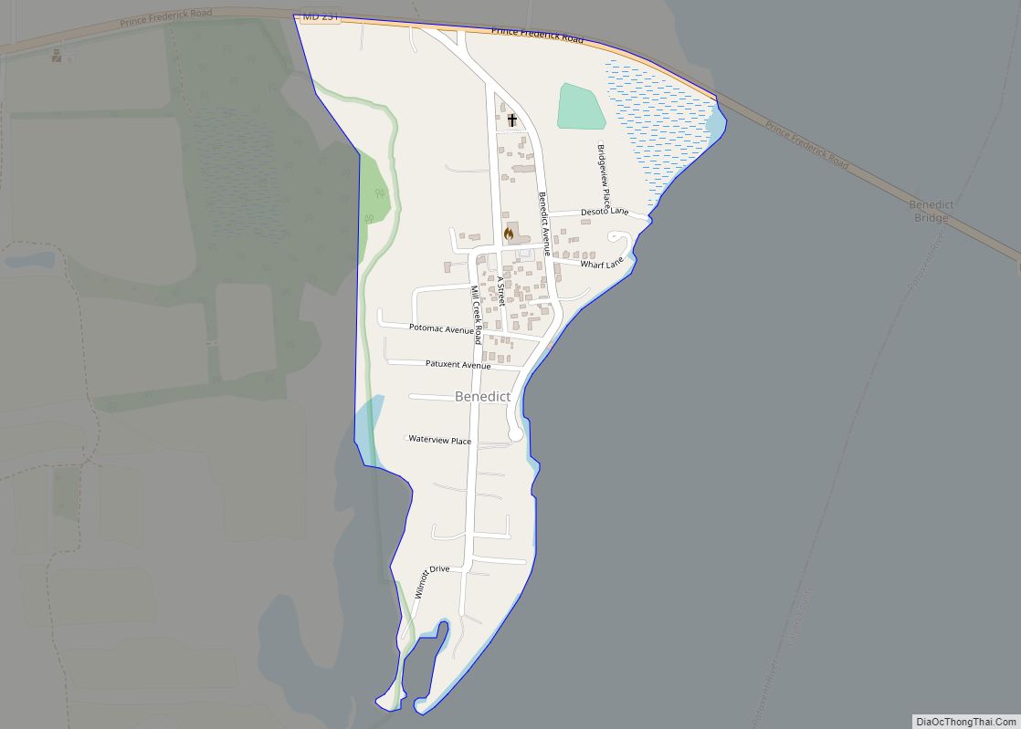
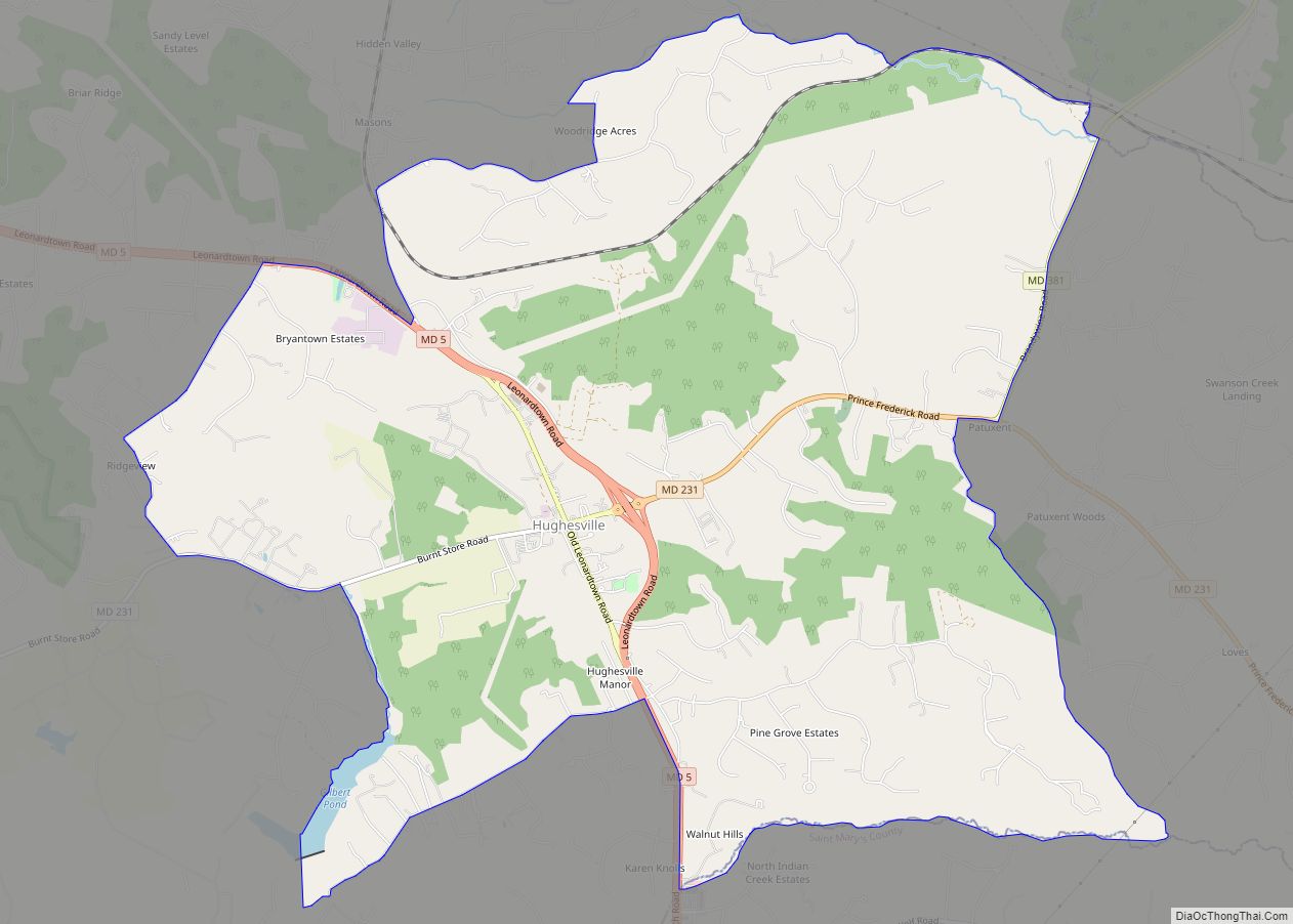
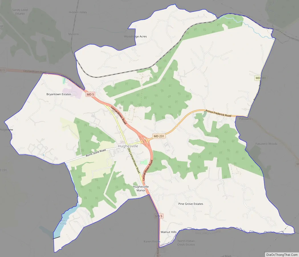
Hughesville Road Map
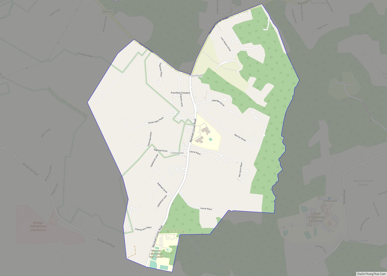
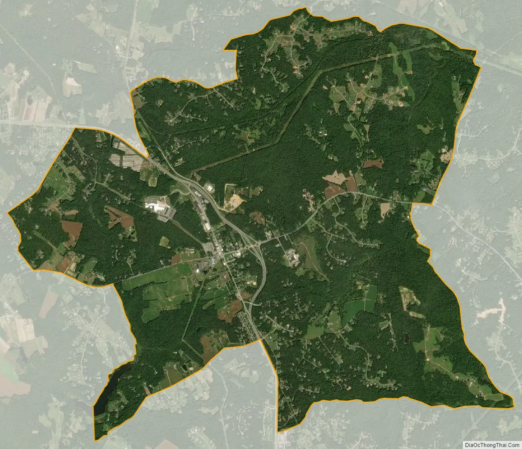
Hughesville city Satellite Map
Geography
According to the United States Census Bureau, the CDP has a total area of 11.2 square miles (29.1 km), of which 11.2 square miles (28.9 km) is land and 0.08 square miles (0.2 km), or 0.69%, is water.
Hughesville was a tobacco market town. The former tobacco warehouses are now used for second-hand thrift stores and boutique gift and craft shops. (Historical society article: https://www.charlescountymd.gov/Home/ShowDocument?id=3581) A multi-lane bypass of the town by Maryland Route 5 opened in February 2007, which has alleviated previous rush-hour traffic backups at the single traffic signal; beside it are two unusual side-by-side traffic roundabouts.
Because Hughesville, though small, is considered the strategic geographic center of the tri-county Southern Maryland region, it houses institutions such as the headquarters for the Southern Maryland Electric Cooperative, an animal shelter, an economic development council, a board of realtors, and a homeless women’s shelter, which serve the tri-county area. There is also a Girl Scout camp. The town has no traditional grid-layout streets, but consists of merely businesses along the highway and some very small outlying housing developments. It was announced in 2013 that the College of Southern Maryland is building their fourth campus in the town.
A 5.5-MW solar farm near Hughesville generates enough power for 600 homes, and offsets the pollution of 1,600 cars.
See also
Map of Maryland State and its subdivision: Map of other states:- Alabama
- Alaska
- Arizona
- Arkansas
- California
- Colorado
- Connecticut
- Delaware
- District of Columbia
- Florida
- Georgia
- Hawaii
- Idaho
- Illinois
- Indiana
- Iowa
- Kansas
- Kentucky
- Louisiana
- Maine
- Maryland
- Massachusetts
- Michigan
- Minnesota
- Mississippi
- Missouri
- Montana
- Nebraska
- Nevada
- New Hampshire
- New Jersey
- New Mexico
- New York
- North Carolina
- North Dakota
- Ohio
- Oklahoma
- Oregon
- Pennsylvania
- Rhode Island
- South Carolina
- South Dakota
- Tennessee
- Texas
- Utah
- Vermont
- Virginia
- Washington
- West Virginia
- Wisconsin
- Wyoming