Libertytown is an unincorporated community and census-designated place (CDP) in Frederick County, in the U.S. state of Maryland. As of the 2010 census it had a population of 950. The unofficial mayor is Sean Dixon. The Abraham Jones House was listed on the National Register of Historic Places in 1973.
| Name: | Libertytown CDP |
|---|---|
| LSAD Code: | 57 |
| LSAD Description: | CDP (suffix) |
| State: | Maryland |
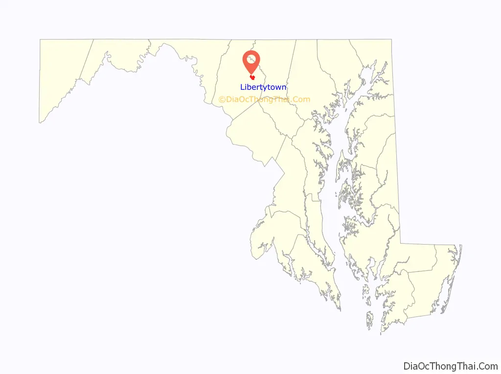
| County: | Frederick County |
| Elevation: | 490 ft (150 m) |
| Total Area: | 2.41 sq mi (6.25 km²) |
| Land Area: | 2.41 sq mi (6.24 km²) |
| Water Area: | 0.01 sq mi (0.01 km²) |
| Total Population: | 984 |
| Population Density: | 408.64/sq mi (157.77/km²) |
| ZIP code: | 21762 Post Office, 21791 and 21701, RFD |
| Area code: | 301 and 240, Walkersville and Frederick Exchanges, Telephone exchange names |
| FIPS code: | 2446800 |
| GNISfeature ID: | 0590664 |
Online Interactive Map
Click on ![]() to view map in "full screen" mode.
to view map in "full screen" mode.
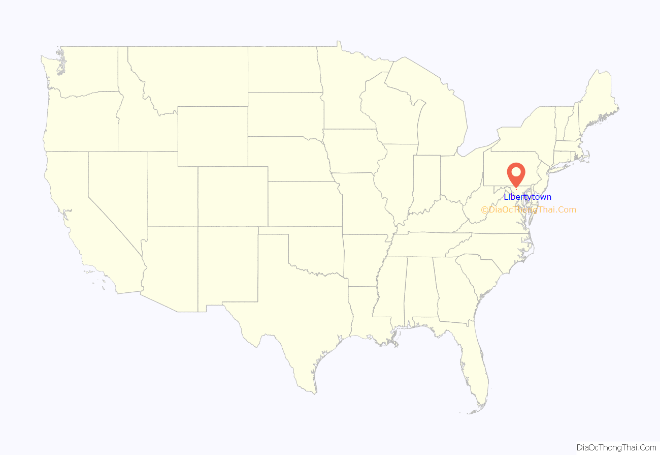
Libertytown location map. Where is Libertytown CDP?
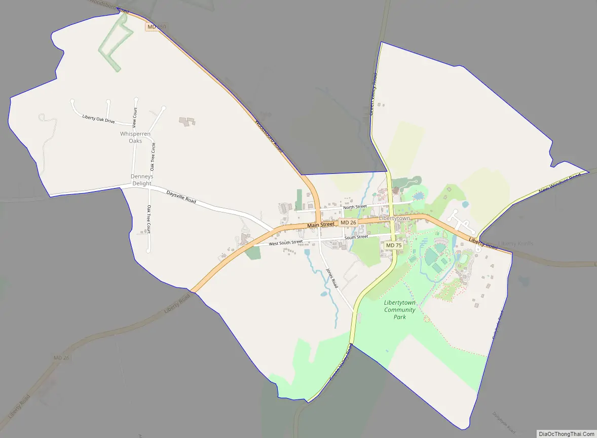
Libertytown Road Map
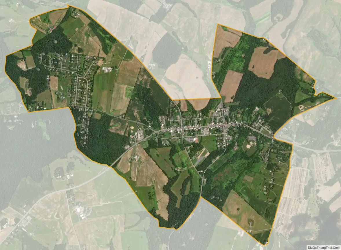
Libertytown city Satellite Map
Geography
The community is in eastern Frederick County, along Maryland Route 26 (Liberty Road), which leads east 34 miles (55 km) to Baltimore and southwest 11 miles (18 km) to Frederick. Maryland Route 75 crosses MD 26 in the center of town, leading northeast 8 miles (13 km) to Union Bridge and south 7 miles (11 km) to New Market. Maryland Route 31 intersects MD 26 on the east edge of town and leads northeast 17 miles (27 km) to Westminster. Maryland Route 550 leaves MD 26 in the western part of town and leads northwest 5 miles (8 km) to Woodsboro.
According to the U.S. Census Bureau, the Libertytown CDP has a total area of 2.4 square miles (6.3 km), of which 0.006 square miles (0.015 km), or 0.23%, is water.
See also
Map of Maryland State and its subdivision: Map of other states:- Alabama
- Alaska
- Arizona
- Arkansas
- California
- Colorado
- Connecticut
- Delaware
- District of Columbia
- Florida
- Georgia
- Hawaii
- Idaho
- Illinois
- Indiana
- Iowa
- Kansas
- Kentucky
- Louisiana
- Maine
- Maryland
- Massachusetts
- Michigan
- Minnesota
- Mississippi
- Missouri
- Montana
- Nebraska
- Nevada
- New Hampshire
- New Jersey
- New Mexico
- New York
- North Carolina
- North Dakota
- Ohio
- Oklahoma
- Oregon
- Pennsylvania
- Rhode Island
- South Carolina
- South Dakota
- Tennessee
- Texas
- Utah
- Vermont
- Virginia
- Washington
- West Virginia
- Wisconsin
- Wyoming


