Westminster is a city in northern Maryland, United States. It is the seat of Carroll County. The city’s population was 19,960 at the 2020 census. Westminster is an outlying community within the Baltimore-Towson, MD MSA, which is part of a greater Washington-Baltimore-Northern Virginia, DC-MD-VA-WV CSA.
| Name: | Westminster city |
|---|---|
| LSAD Code: | 25 |
| LSAD Description: | city (suffix) |
| State: | Maryland |
| County: | Carroll County |
| Founded: | 1764 |
| Incorporated: | 1818 |
| Elevation: | 764 ft (233 m) |
| Total Area: | 6.65 sq mi (17.23 km²) |
| Land Area: | 6.64 sq mi (17.20 km²) |
| Water Area: | 0.01 sq mi (0.03 km²) |
| Total Population: | 20,126 |
| Population Density: | 3,030.57/sq mi (1,170.19/km²) |
| ZIP code: | 21157-21158 |
| Area code: | 410, 443, and 667 |
| FIPS code: | 2483100 |
| GNISfeature ID: | 0595080 |
| Website: | www.westminstermd.gov |
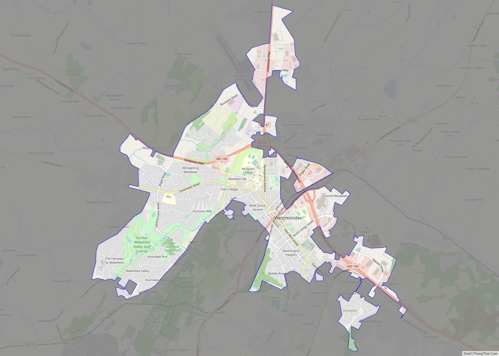
Online Interactive Map
Click on ![]() to view map in "full screen" mode.
to view map in "full screen" mode.
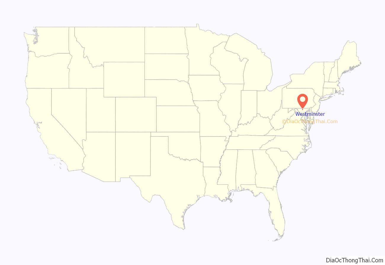
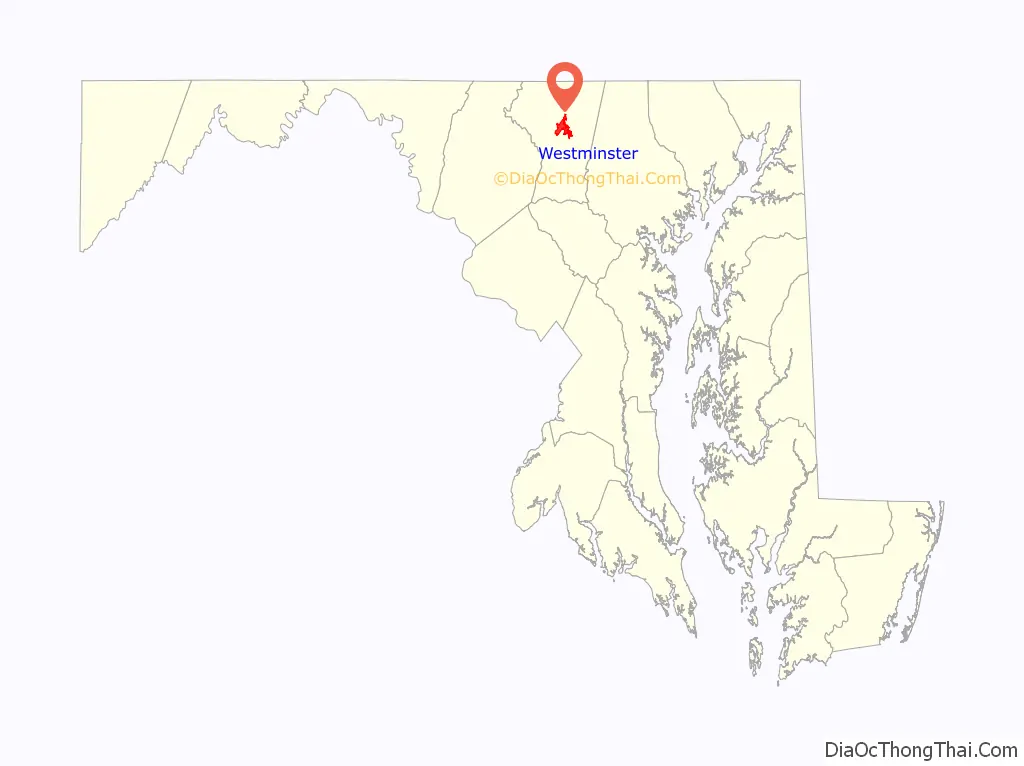
Westminster location map. Where is Westminster city?
History
William Winchester (1706-1790) purchased approximately 167 acres of land called White’s Level in 1754 which became known as the city of Winchester. In 1768, The Maryland General Assembly changed the name of the town to Westminster to avoid confusion with Winchester, the seat of nearby Frederick County, Virginia.
On June 28, 1863, the cavalry skirmish known as Corbit’s Charge was fought in the streets of Westminster, when two companies of Delaware cavalry attacked a much larger Confederate force under General J. E. B. Stuart, during the Gettysburg Campaign.
In April 1865, Joseph Shaw, newspaper editor, had his presses wrecked and his business destroyed, and was subsequently beaten and stabbed to death by four men in Westminster, allegedly because of an anti-Lincoln editorial that was published the week before the actual assassination. In a later trial at the Westminster Court House the four men were acquitted; the reason cited was “self-defense”.
Since 1868, Westminster has held an annual Memorial Day parade, which is one of the longest continuously running Memorial Day parades in the country.
Just north of Westminster is the farm at which Whittaker Chambers hid the so-called “Pumpkin Papers.”
A historic marker states that Westminster was the first place in the nation to offer Rural Free Delivery postal service.
Westminster is the birthplace of Sargent Shriver (1915–2011), the Democratic candidate for Vice President of the United States in 1972, and the first director of the Peace Corps.
On March 10, 2006, members of the Westboro Baptist Church picketed the funeral of Matthew A. Snyder who had been killed in the Iraq War. Church members stood on city property adjoining St. John Catholic Church where the funeral took place. Snyder’s father sued the church for violating his privacy. The United States Supreme Court in March 2011 ruled in Snyder v. Phelps that church members had a free speech right to picket.
On June 26, 2015, the city of Westminster lit the Westminster Fiber Network, the first community-wide gigabit fiber to the premise network in the Mid-Atlantic region. The city partnered with Ting Inc., a subsidiary of Tucows, to light the network and provide gigabit services.
Westminster Road Map
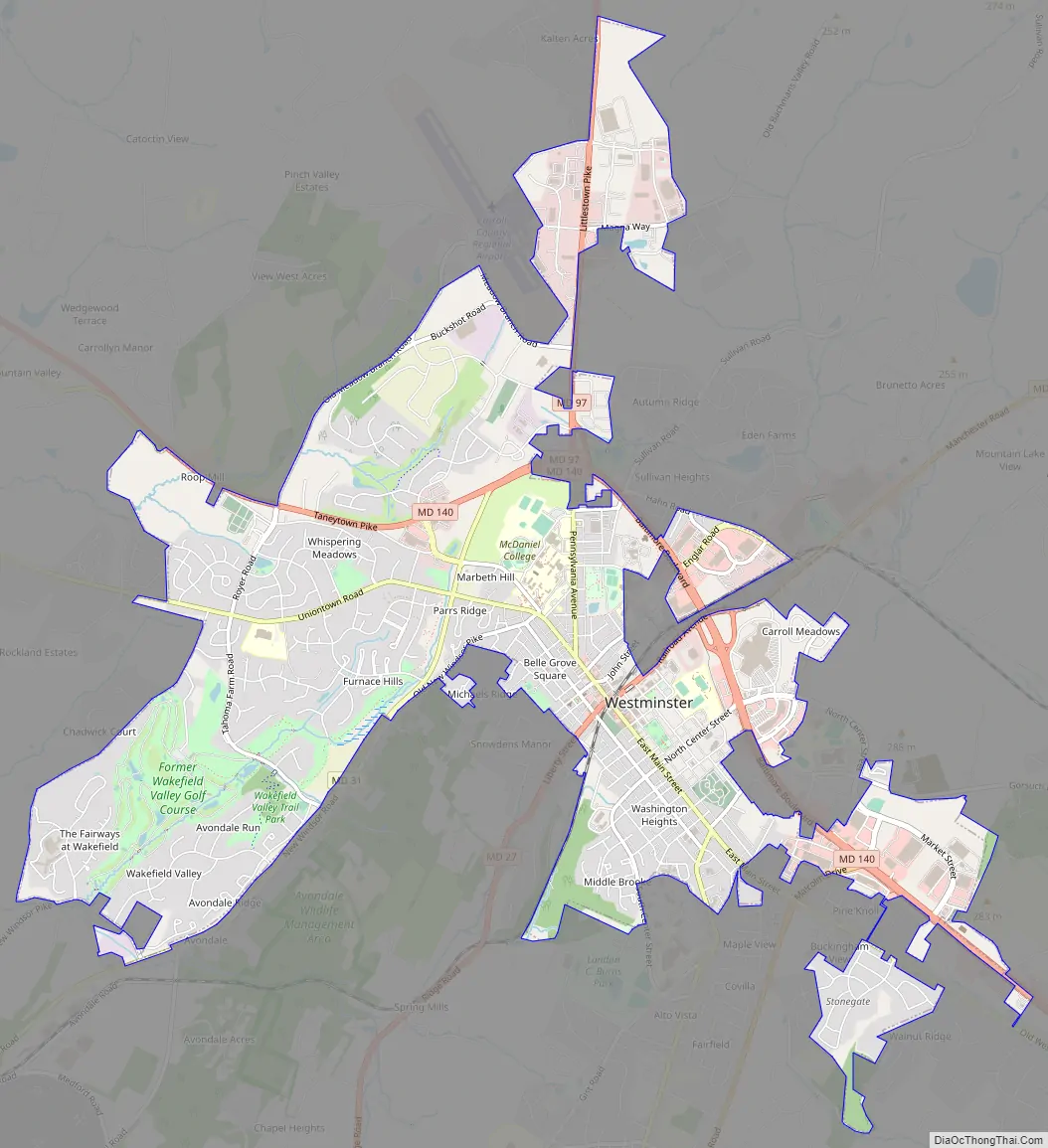
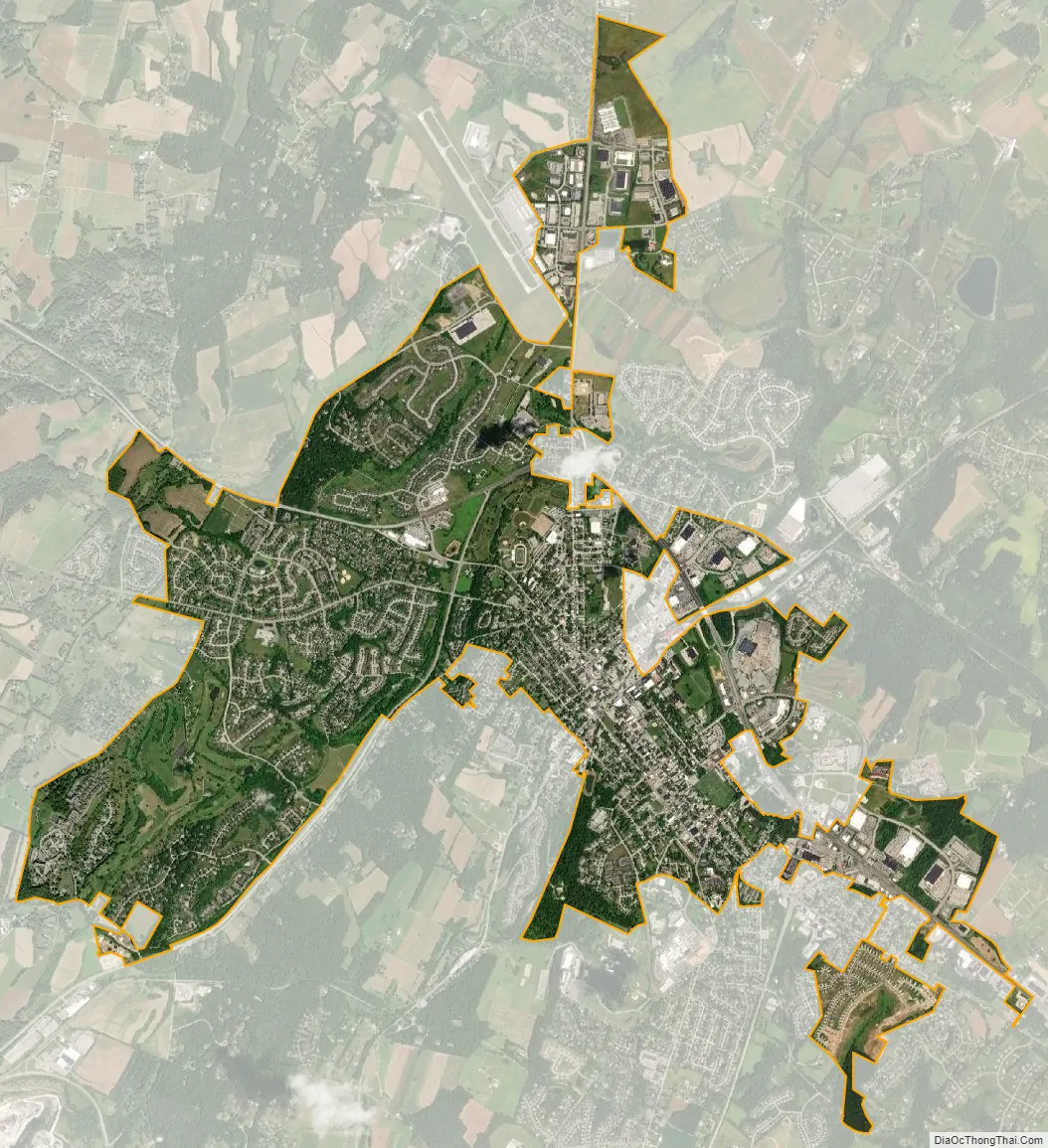
Westminster city Satellite Map
Geography
Westminster is located at 39°34′36″N 77°0′0″W / 39.57667°N 77.00000°W / 39.57667; -77.00000 (39.576551, −77.000120). Westminster is approximately 36.5 miles (58.7 km) driving distance northwest of Baltimore and 37.5 miles (60.4 km) driving distance southwest of York, Pennsylvania.
According to the U.S. Census Bureau, the city has a total area of 6.64 square miles (17.20 km), of which 6.63 square miles (17.17 km) is land and 0.01 square miles (0.03 km) is water. Westminster has access to two water reservoirs at present, Liberty and Piney Run; the county has also proposed a Union Mills Reservoir and Gillis Falls Reservoir.
Climate
Westminster lies in the humid subtropical climate zone bordering on a humid continental climate, with hot and humid summers and cool winters with highly variable seasonal snowfall. Due to its elevation, distance from the Chesapeake Bay and urban heat island, temperatures in Westminster are often considerably lower than in Baltimore, especially at night.
Tornado activity
Westminster’s historical tornado activity is slightly above the Maryland state average and 38% greater than the overall U.S. average. On April 15, 1952, an F3 tornado (which has wind speeds of 158–206 mph) hit 15.5 miles from the city center, injuring four people and causing between $500,000 and $5,000,000 in damages. On July 19, 1996, an F3 tornado struck 5.5 miles away from the Westminster city center, injuring three people and causing $5 million in damages. On April 16, 2011, a tornado touched down around 8:00 pm EST. Shortly after sunrise on February 7, 2020, an EF1 tornado crossed directly over downtown, heading parallel to Maryland 27 northward on the west side. This damaged siding and shingles on multiple structures and brought down several trees. Schools across much of the county took shelter due to the tornado warning.
See also
Map of Maryland State and its subdivision: Map of other states:- Alabama
- Alaska
- Arizona
- Arkansas
- California
- Colorado
- Connecticut
- Delaware
- District of Columbia
- Florida
- Georgia
- Hawaii
- Idaho
- Illinois
- Indiana
- Iowa
- Kansas
- Kentucky
- Louisiana
- Maine
- Maryland
- Massachusetts
- Michigan
- Minnesota
- Mississippi
- Missouri
- Montana
- Nebraska
- Nevada
- New Hampshire
- New Jersey
- New Mexico
- New York
- North Carolina
- North Dakota
- Ohio
- Oklahoma
- Oregon
- Pennsylvania
- Rhode Island
- South Carolina
- South Dakota
- Tennessee
- Texas
- Utah
- Vermont
- Virginia
- Washington
- West Virginia
- Wisconsin
- Wyoming