Martin’s Additions is a village in Montgomery County, Maryland, United States. It was established as a Special Tax District in 1916 and incorporated as a village in 1985. The population was 946 at the 2020 Census.
The town is part of a larger community, colloquially referred to as Chevy Chase, that includes several adjoining settlements in Montgomery County and one neighborhood of Washington, D.C.
| Name: | Martin’s Additions village |
|---|---|
| LSAD Code: | 47 |
| LSAD Description: | village (suffix) |
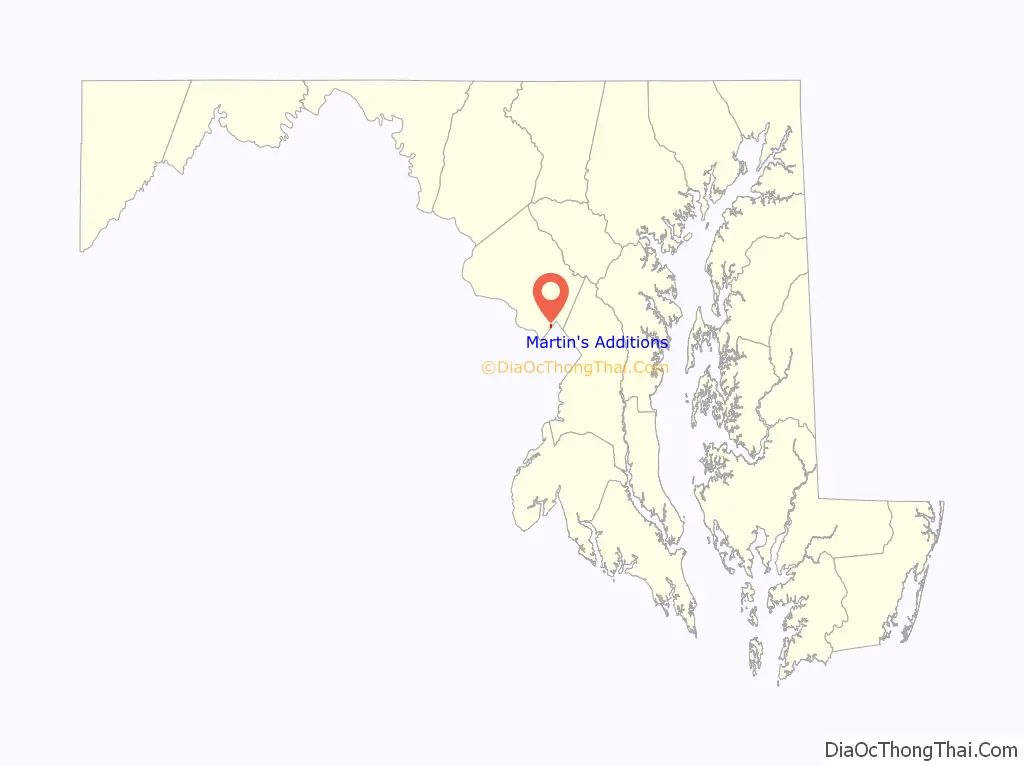
| State: | Maryland |
| County: | Montgomery County |
| Incorporated: | March 19, 1985 |
| Elevation: | 338 ft (103 m) |
| Total Area: | 0.14 sq mi (0.36 km²) |
| Land Area: | 0.14 sq mi (0.36 km²) |
| Water Area: | 0.00 sq mi (0.00 km²) |
| Total Population: | 946 |
| Population Density: | 6,855.07/sq mi (2,642.44/km²) |
| ZIP code: | 20815 |
| Area code: | 240 and 301 |
| FIPS code: | 2450965 |
| GNISfeature ID: | 1669431 |
| Website: | martinsadditions.org |
Online Interactive Map
Click on ![]() to view map in "full screen" mode.
to view map in "full screen" mode.
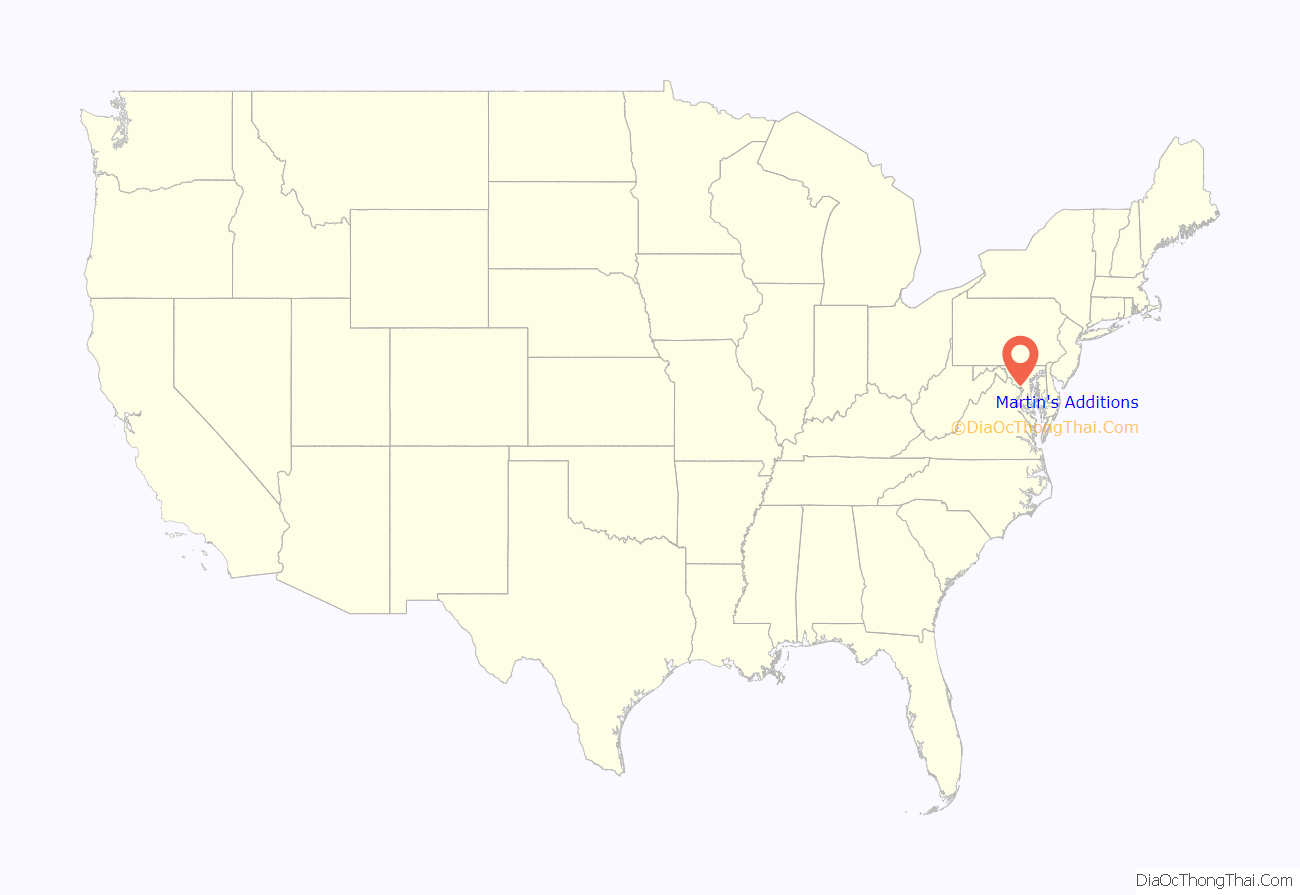
Martin’s Additions location map. Where is Martin’s Additions village?
History
In 1896, Harry M. Martin began buying land from the Chevy Chase Land Company and others and called his holdings “Martin’s Additions to Chevy Chase”.
In 1916, the area was incorporated as the special tax district of Martin’s First, Second, Third and Fourth Additions to the Village of Chevy Chase.
In February 1985, the residents voted in a referendum on whether to incorporate as a town. The vote was 198 to 15 in favor of incorporation. Following approval of Montgomery County and the U.S. state of Maryland, the special tax district was incorporated as a municipality called the Village of Martin’s Additions on March 19, 1985. The first elected village council members were Michael E. Zielinski, Edward C. Holland, Lucy Foa, Karen McManus, and Paul S. Weller.
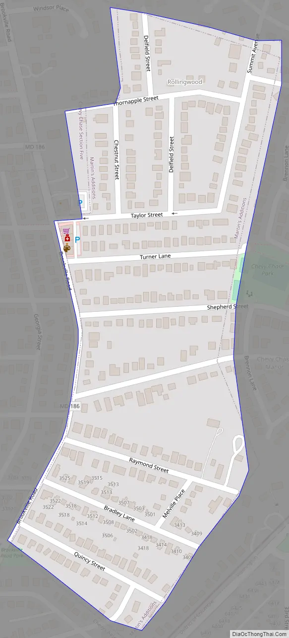
Martin’s Additions Road Map
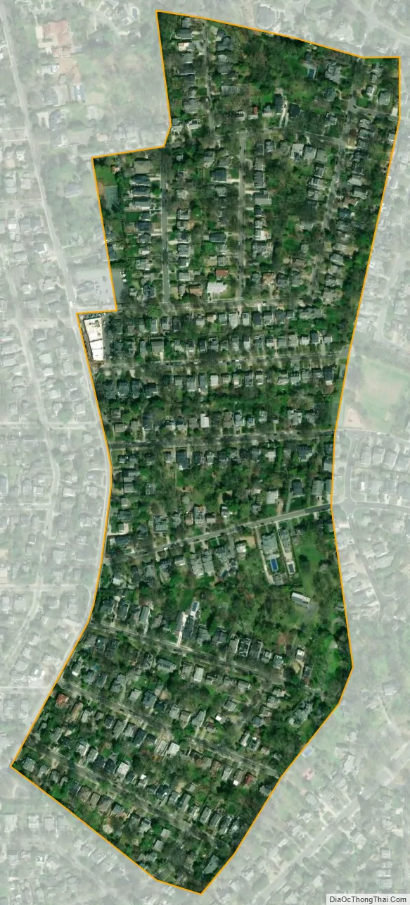
Martin’s Additions city Satellite Map
Geography
Martin’s Additions is located at 38°58′47″N 77°4′10″W / 38.97972°N 77.06944°W / 38.97972; -77.06944 (38.979713, −77.069349).
According to the United States Census Bureau, the village has a total area of 0.14 square miles (0.36 km), all of it land.
See also
Map of Maryland State and its subdivision: Map of other states:- Alabama
- Alaska
- Arizona
- Arkansas
- California
- Colorado
- Connecticut
- Delaware
- District of Columbia
- Florida
- Georgia
- Hawaii
- Idaho
- Illinois
- Indiana
- Iowa
- Kansas
- Kentucky
- Louisiana
- Maine
- Maryland
- Massachusetts
- Michigan
- Minnesota
- Mississippi
- Missouri
- Montana
- Nebraska
- Nevada
- New Hampshire
- New Jersey
- New Mexico
- New York
- North Carolina
- North Dakota
- Ohio
- Oklahoma
- Oregon
- Pennsylvania
- Rhode Island
- South Carolina
- South Dakota
- Tennessee
- Texas
- Utah
- Vermont
- Virginia
- Washington
- West Virginia
- Wisconsin
- Wyoming


