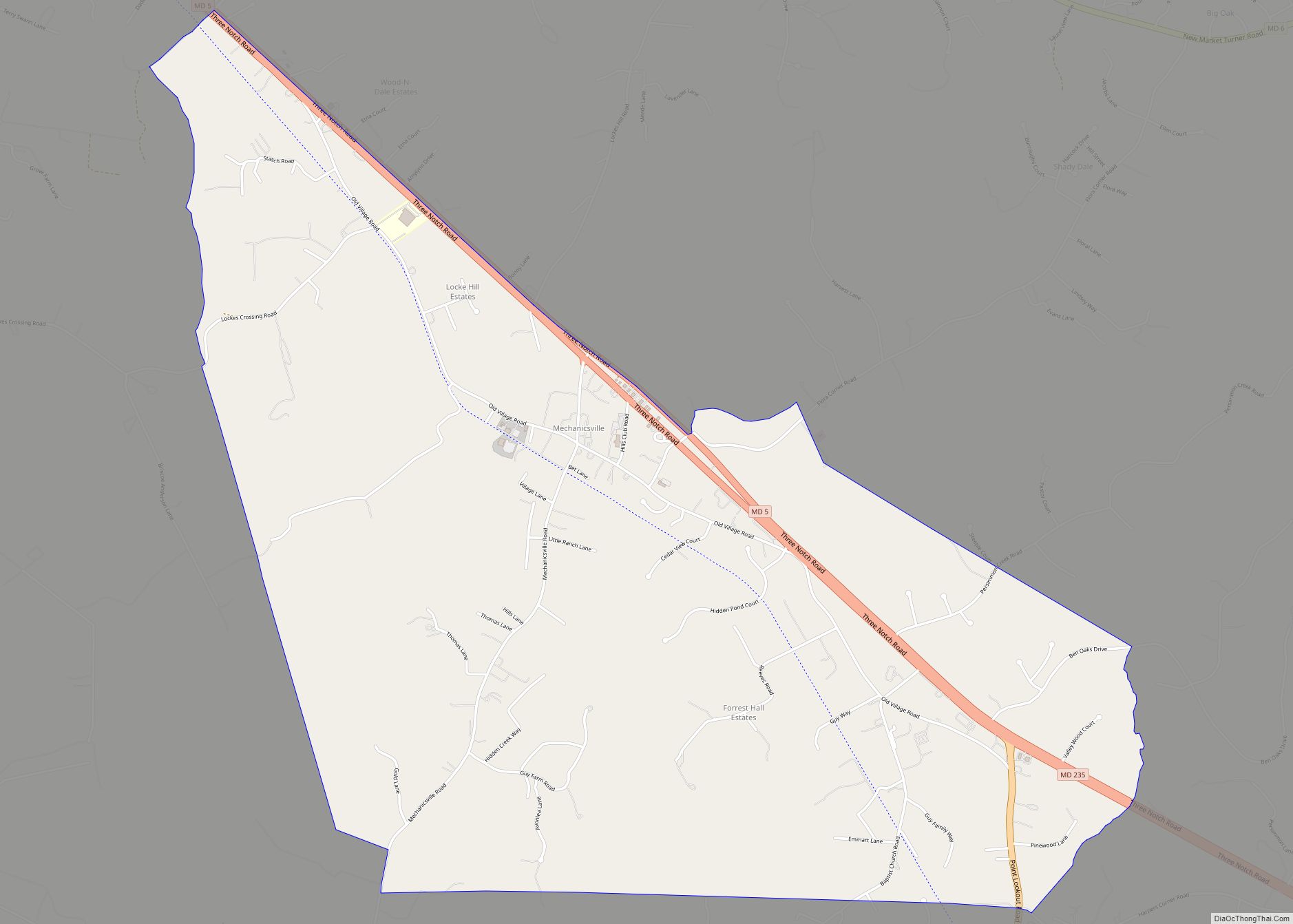
Mechanicsville is an unincorporated community and census-designated place in St. Mary’s County, Maryland, United States. It is adjacent to the community of Charlotte Hall, which is known for its agriculture, Amish population, large farmers’ market/flea market and the Maryland Veterans Home. Mechanicsville has many small businesses and restaurants along Maryland Route 5 and Maryland Route 235. The community is served by the St. Mary’s County Public Schools, including Chopticon High School. At the 2010 census, Mechanicsville had a population of 1,528.
The Amish community in the Mechanicsville area consists of eight church districts and approximately 1,000 people. The Amish first came to the area in 1940. There is also an Old Order Mennonite community in the Mechanisville area. In recent years, increasing development has threatened the Amish community.
| Name: | Mechanicsville CDP |
|---|---|
| LSAD Code: | 57 |
| LSAD Description: | CDP (suffix) |
| State: | Maryland |
| County: | St. Mary’s County |
| Elevation: | 157 ft (48 m) |
| Total Area: | 5.20 sq mi (13.46 km²) |
| Land Area: | 5.19 sq mi (13.44 km²) |
| Water Area: | 0.01 sq mi (0.01 km²) |
| Total Population: | 1,673 |
| Population Density: | 322.35/sq mi (124.46/km²) |
| ZIP code: | 20659 |
| Area code: | 301, 240 |
| FIPS code: | 2451800 |
| GNISfeature ID: | 594822 |
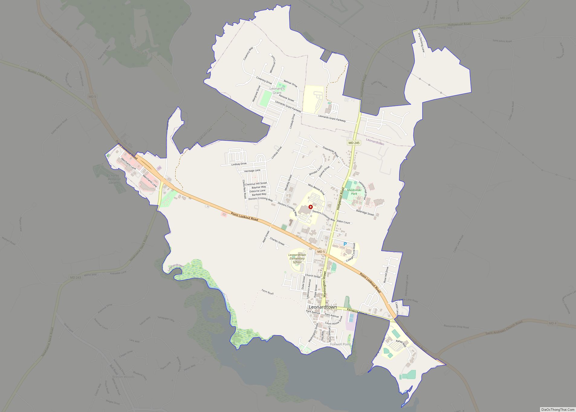
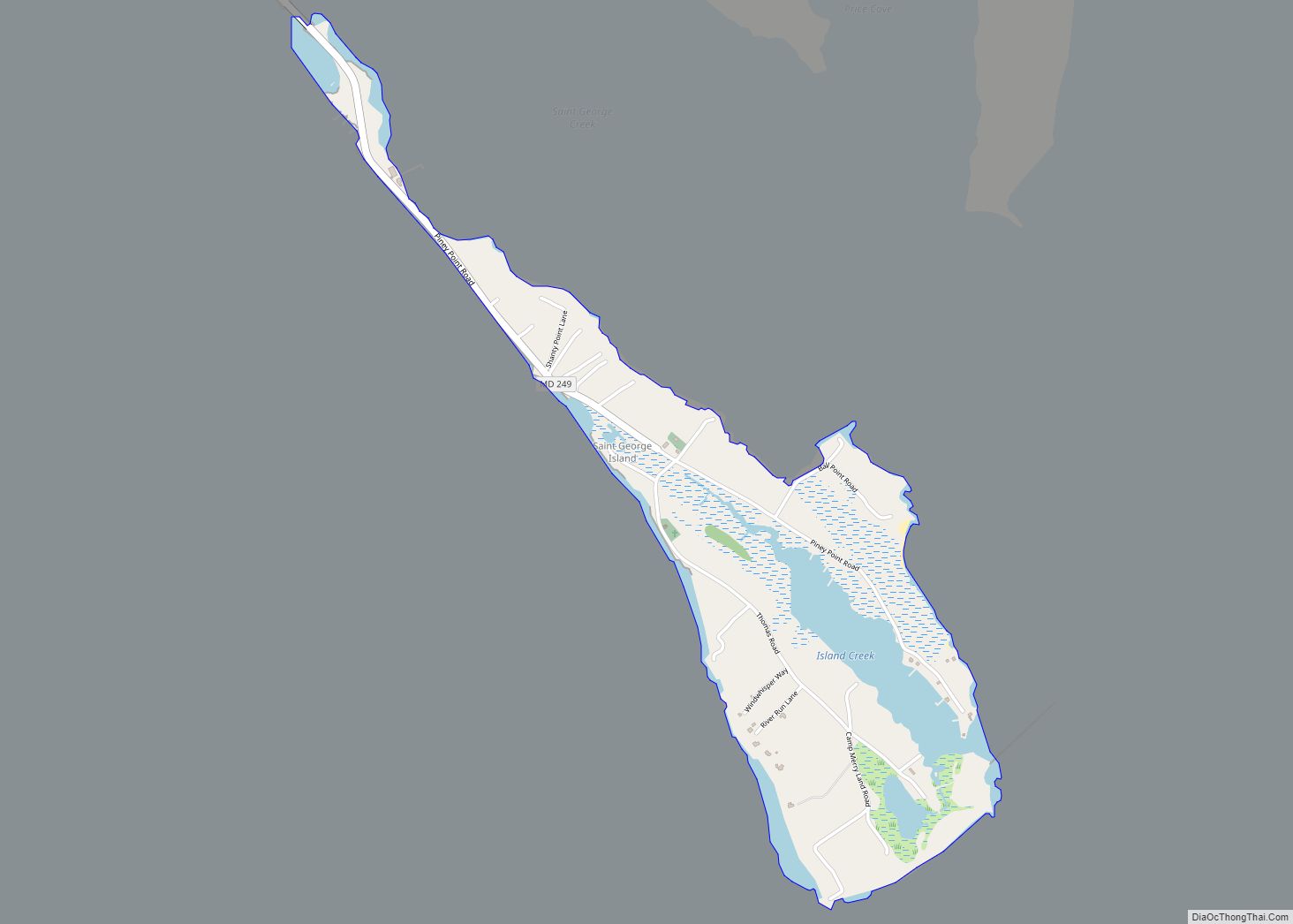
Online Interactive Map
Click on ![]() to view map in "full screen" mode.
to view map in "full screen" mode.
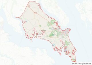
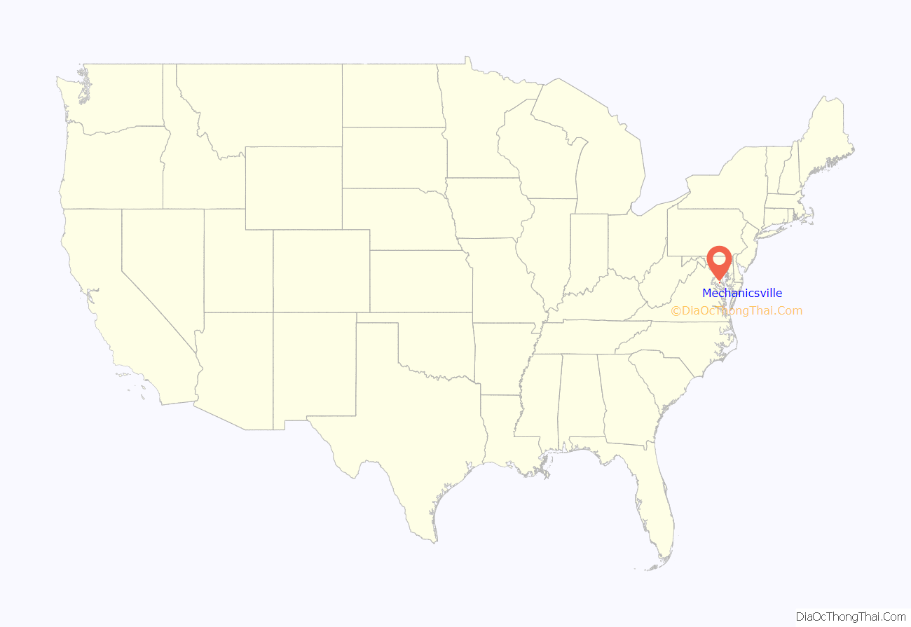
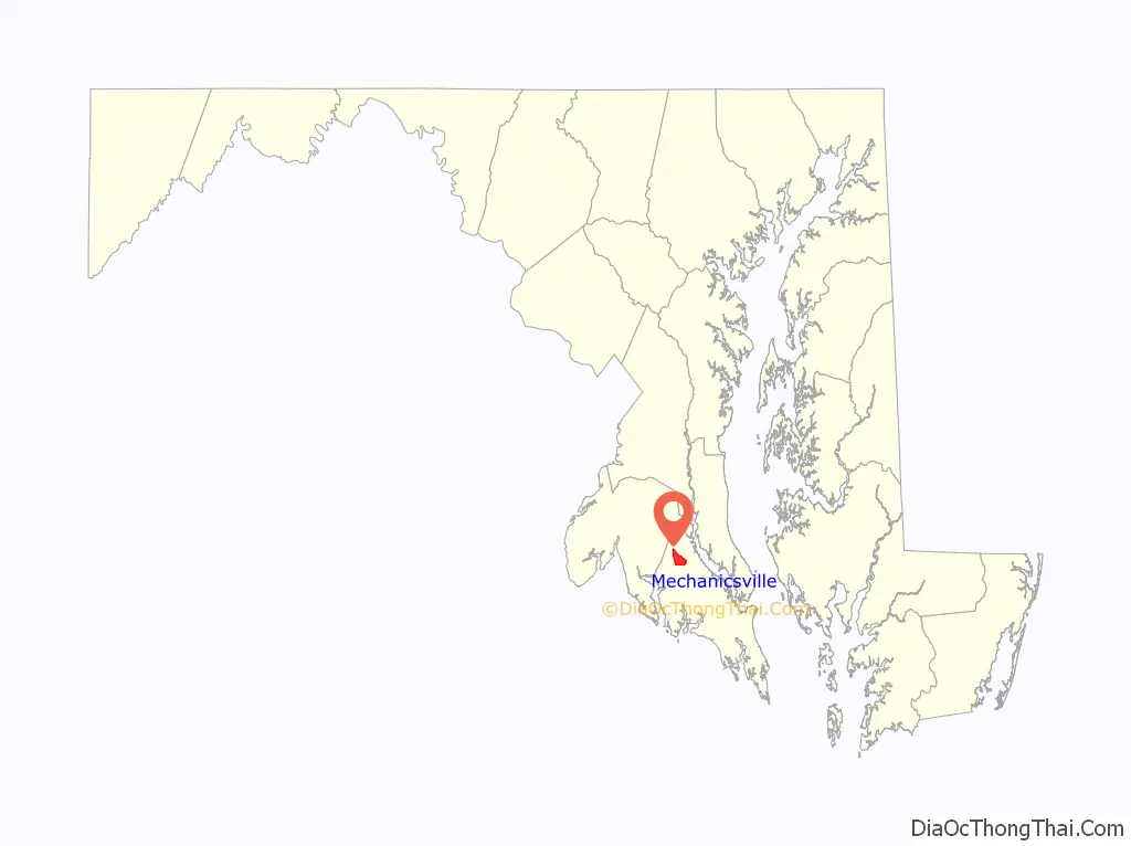
Mechanicsville location map. Where is Mechanicsville CDP?
History
Part of the area was first settled in the 1660s by early Maryland colonists who were tobacco planters. They established some farms not far from the Patuxent river. In 1819, Cremona Farm, a 750-acre estate and plantation was built in the same location. In about 1850, “Mechanicsville Village” was established on the historic Three Notch Trail. The name “Mechanicsville” is believed to have come from the word “Mechanic” because the area became a center for blacksmiths and other craftsmen. In those days “Mechanic” meant a skilled tradesperson who worked by hands.
There was an old railway that passed through Mechanicsville and local residents joined other St. Mary’s County residents in purchasing it and saving it from being scrapped in 1918. Farm goods moved along the railroad on train cars and passenger service continued until about 1928. By that time county roads had improved and the railway began to fall out of use.
The Amish community was established in Mechanicsville in 1940. It is a Lancaster County, Pennsylvania, daughter settlement. The Amish left Lancaster County because of a dispute with the state of Pennsylvania over education practices. The Amish people had their own system of one room schoolhouses there and a school year that better accommodated the farm season. But Pennsylvania tried to force them into the state school system. Maryland provided a place for the Lancaster Amish to escape these pressures and, as historian Karen Johnson-Weiner described, avoid “what they saw as a threat to their religious identity”. Many Amish left at the time and one large group moved to Mechanicsville, Maryland. Today, the Amish settlement in Mechanicsville is one of the largest Lancaster daughter communities.
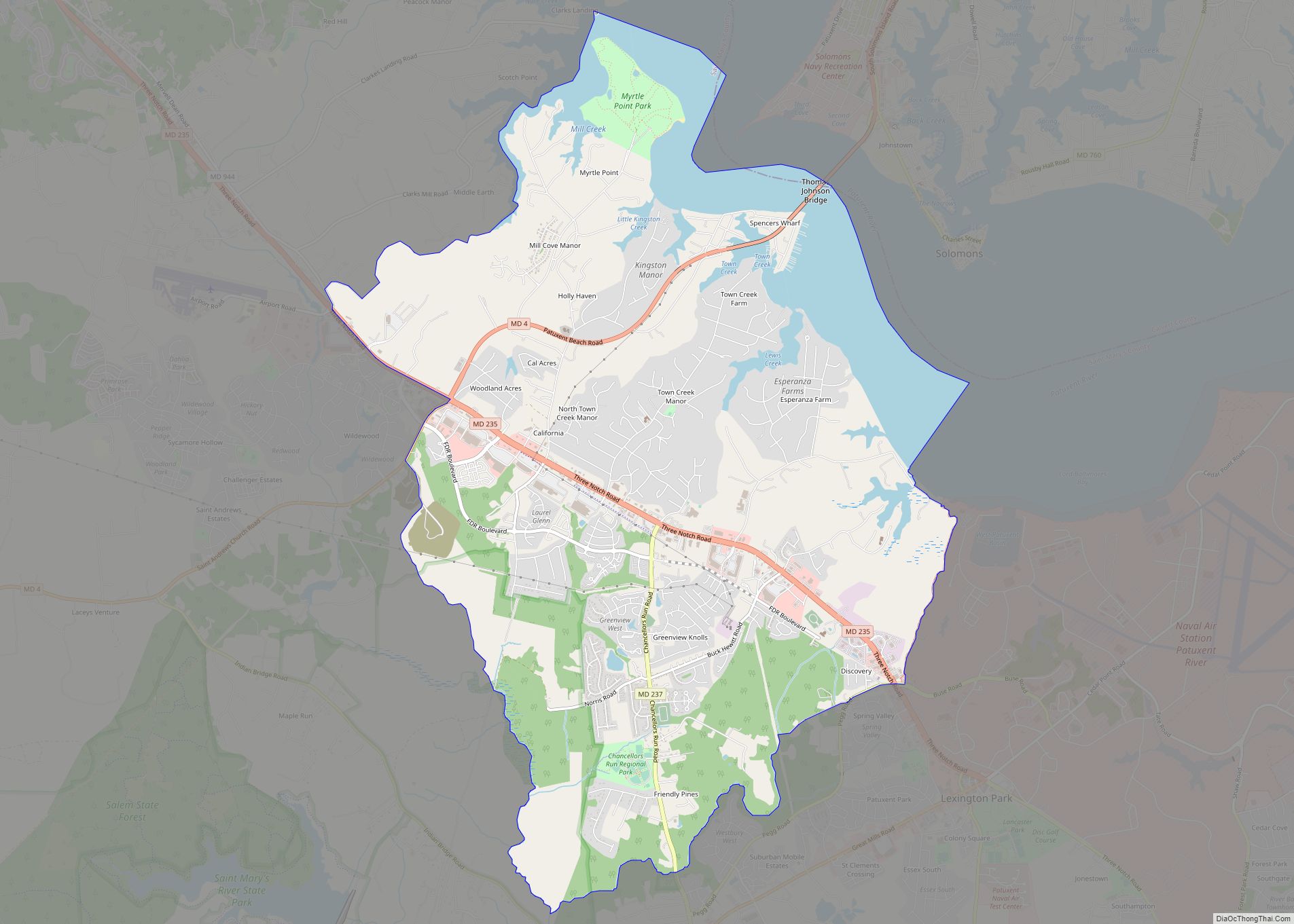
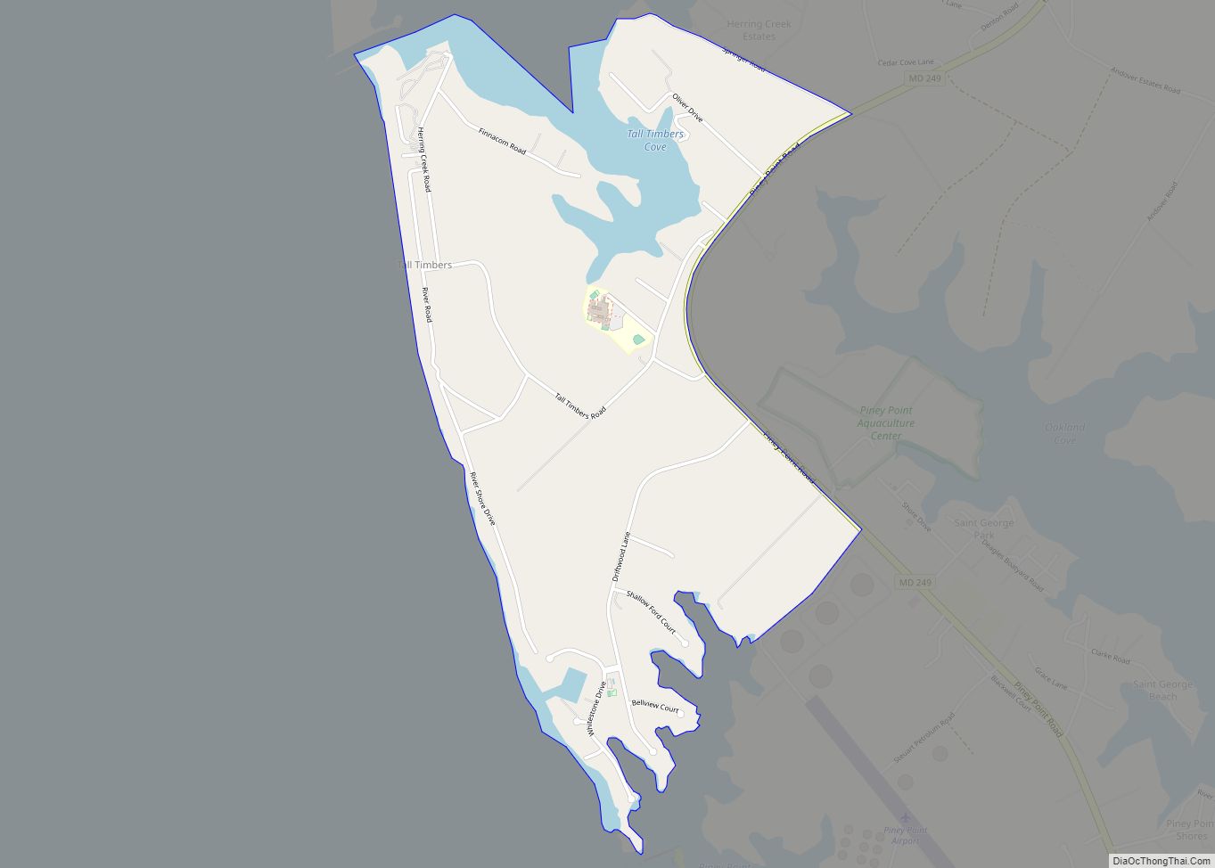
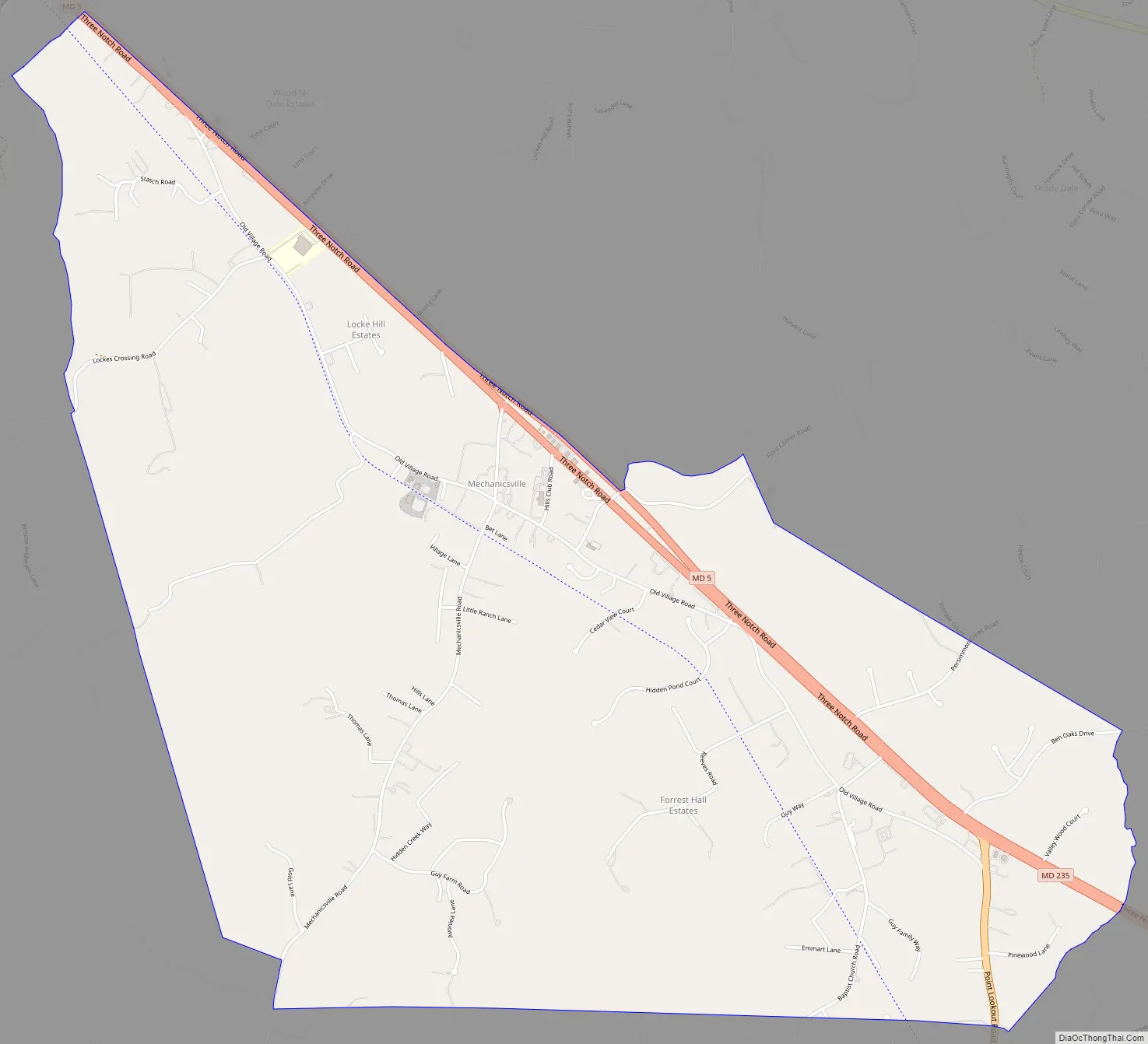
Mechanicsville Road Map
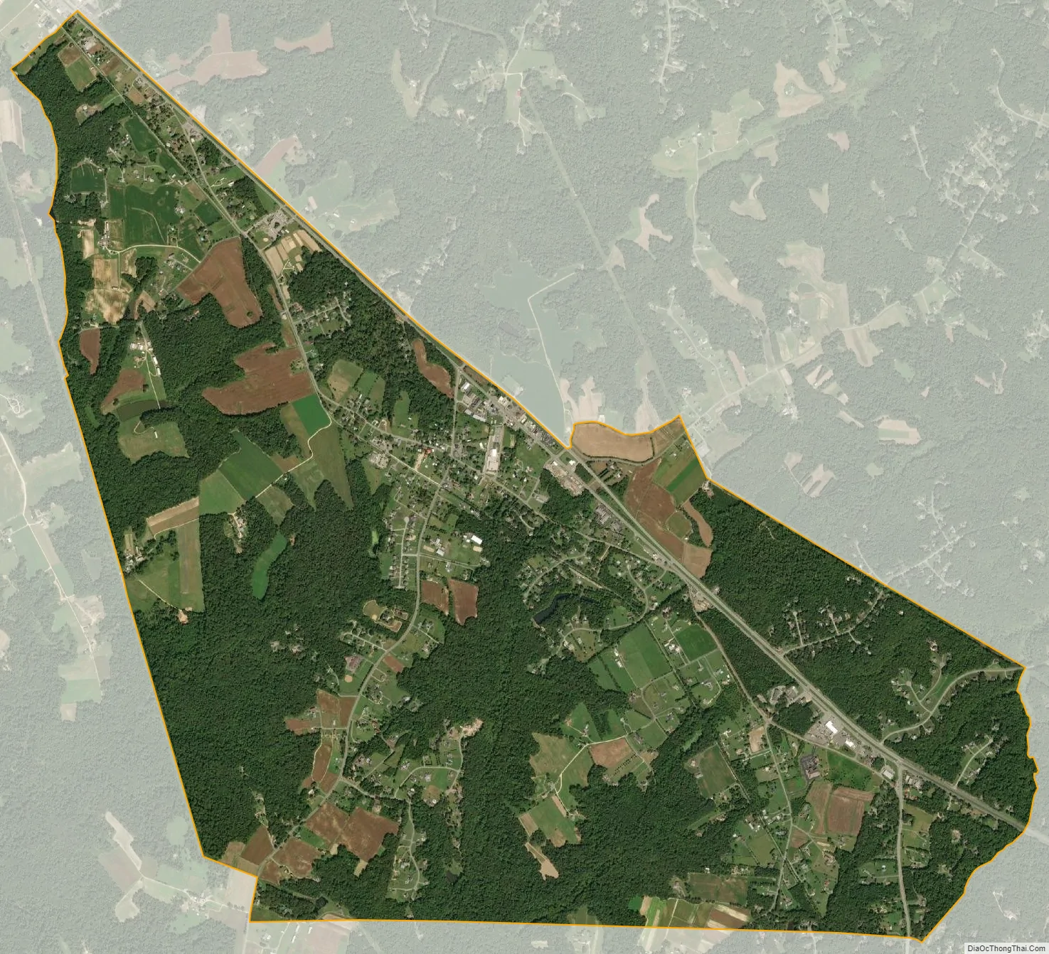
Mechanicsville city Satellite Map
See also
Map of Maryland State and its subdivision: Map of other states:- Alabama
- Alaska
- Arizona
- Arkansas
- California
- Colorado
- Connecticut
- Delaware
- District of Columbia
- Florida
- Georgia
- Hawaii
- Idaho
- Illinois
- Indiana
- Iowa
- Kansas
- Kentucky
- Louisiana
- Maine
- Maryland
- Massachusetts
- Michigan
- Minnesota
- Mississippi
- Missouri
- Montana
- Nebraska
- Nevada
- New Hampshire
- New Jersey
- New Mexico
- New York
- North Carolina
- North Dakota
- Ohio
- Oklahoma
- Oregon
- Pennsylvania
- Rhode Island
- South Carolina
- South Dakota
- Tennessee
- Texas
- Utah
- Vermont
- Virginia
- Washington
- West Virginia
- Wisconsin
- Wyoming