Middletown is a town in Frederick County, Maryland, United States. The population was 4,136 as of the 2010 census. Located in the Middletown Valley that stretches between the Catoctin Mountains on the east and South Mountain on the west, the town reportedly gained its name from its location midway between those ranges.
| Name: | Middletown town |
|---|---|
| LSAD Code: | 43 |
| LSAD Description: | town (suffix) |
| State: | Maryland |
| County: | Frederick County |
| Incorporated: | 1833 |
| Elevation: | 564 ft (172 m) |
| Total Area: | 2.12 sq mi (5.49 km²) |
| Land Area: | 2.12 sq mi (5.48 km²) |
| Water Area: | 0.00 sq mi (0.01 km²) |
| Total Population: | 4,943 |
| Population Density: | 2,333.81/sq mi (901.24/km²) |
| ZIP code: | 21769 |
| Area code: | 301, 240 |
| FIPS code: | 2452425 |
| GNISfeature ID: | 0585831 |
| Website: | www.middletown.md.us |
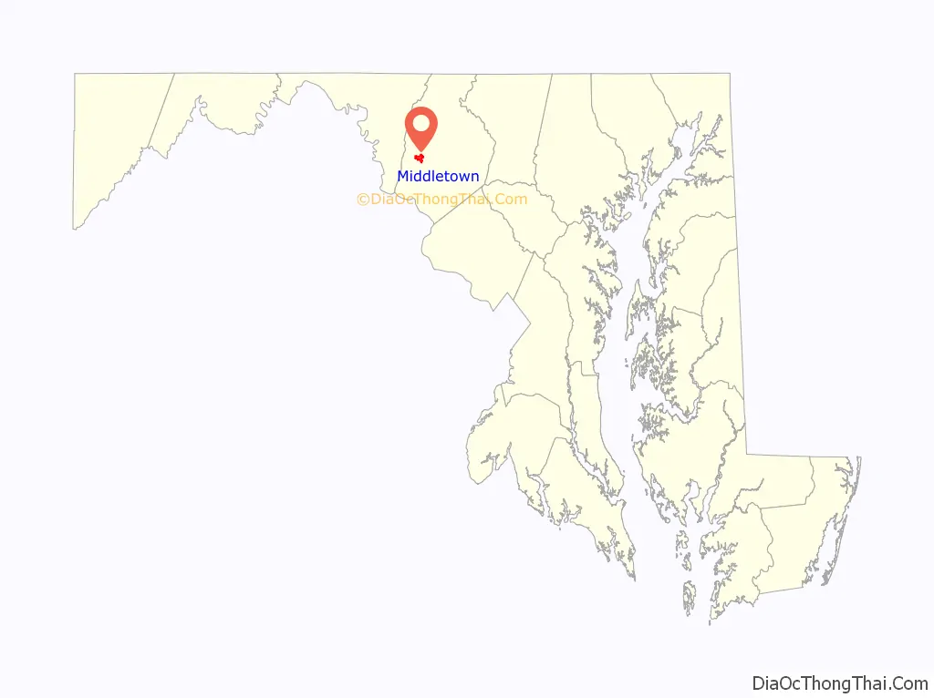
Online Interactive Map
Click on ![]() to view map in "full screen" mode.
to view map in "full screen" mode.
Middletown location map. Where is Middletown town?

History
A young Lieutenant George Washington, while surveying the South Mountain area, reported that Middletown Valley was one of the most beautiful places he had ever seen. Later, as a colonel in 1755, he was to accompany General Braddock on the old Indian Trail that ran through the valley on his way to Fort Cumberland.
The early German and English settlers started to arrive in the valley in the 1730s. Among them was Michael Jesserong, who paid £66 for 50 acres (200,000 m). He named his property Middletown and sold the first lots there in 1767, the date officially marked as that of the town’s founding.
The history of Middletown is a mirror on the nation’s development. Main Street spread to the west with construction of the National Pike through the town in 1806; the telegraph lines from Frederick to Hagerstown were routed through Middletown in 1854; and in 1896, car 11 of the Frederick Middletown Railway made its first run to Middletown. During the Civil War, both armies passed through the town to the battles of South Mountain and Antietam. In the aftermath of those battles, Middletown opened its churches and homes to care for the wounded.
Middletown preserves many historic structures indicative of its various periods of development and prosperity. The core of the old town, comprising the several blocks along West Main Street (US Route 40 Alt) and South Church Street (MD Route 17) contains several examples of Federal and Greek Revival architecture, including the Zion Evangelical Lutheran Church (1859–1860) and Christ Reformed Church United Church of Christ (1818). With the coming of the Hagerstown and Frederick Railway in the 1890s, the town expanded to the east, where several examples of various Victorian-era styles can be seen, including Queen Anne, Gothic Revival, and later examples of Colonial Revival styles. The economic prosperity experienced in the town during the first quarter of the twentieth century led to the alteration of older commercial structures and the construction of new ones in the first few blocks of Main Street, including the Beaux-Arts styled Valley Savings Bank (today the Middletown Valley Bank). Many of these structures are registered in the Middletown Historic District.
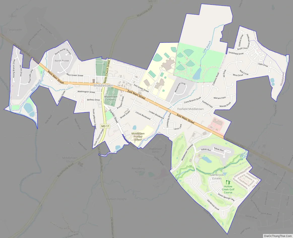
Middletown Road Map
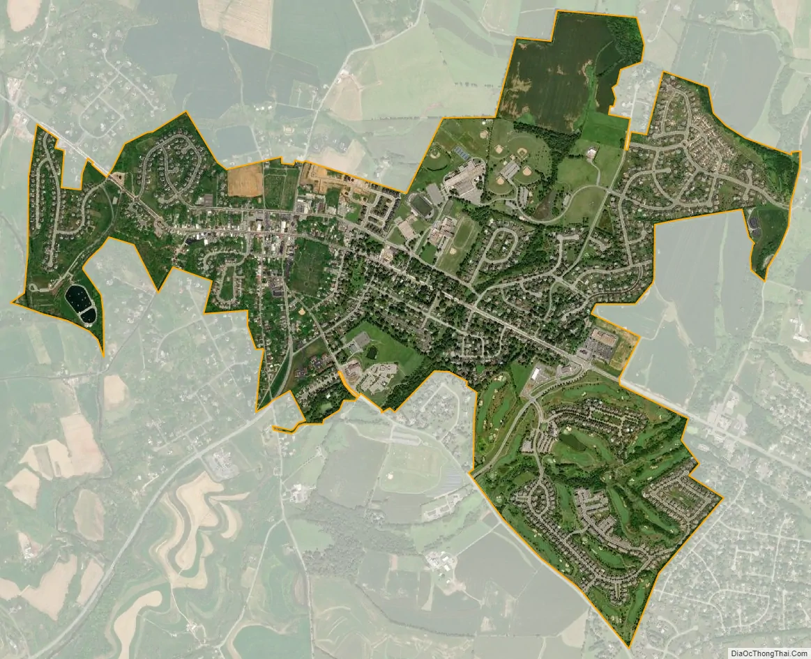
Middletown city Satellite Map
Geography
Middletown is located at 39°26′28″N 77°32′38″W / 39.44111°N 77.54389°W / 39.44111; -77.54389 (39.441155, -77.543761).
According to the United States Census Bureau, the town has a total area of 1.74 square miles (4.51 km), all land. Catoctin Creek flows due south from approximately one mile west of town to several miles south of town.
To the east, Middletown borders Braddock Mountain, named after the British general Edward Braddock. The mountain itself, along with its community, Braddock Heights, is often said to be the roost of the mythical Snallygaster, a bird/dragon creature said to abduct livestock and people from the surrounding valley.
See also
Map of Maryland State and its subdivision: Map of other states:- Alabama
- Alaska
- Arizona
- Arkansas
- California
- Colorado
- Connecticut
- Delaware
- District of Columbia
- Florida
- Georgia
- Hawaii
- Idaho
- Illinois
- Indiana
- Iowa
- Kansas
- Kentucky
- Louisiana
- Maine
- Maryland
- Massachusetts
- Michigan
- Minnesota
- Mississippi
- Missouri
- Montana
- Nebraska
- Nevada
- New Hampshire
- New Jersey
- New Mexico
- New York
- North Carolina
- North Dakota
- Ohio
- Oklahoma
- Oregon
- Pennsylvania
- Rhode Island
- South Carolina
- South Dakota
- Tennessee
- Texas
- Utah
- Vermont
- Virginia
- Washington
- West Virginia
- Wisconsin
- Wyoming


