Pomfret is a census-designated place in Charles County, Maryland, United States. As of the 2020 census, it had a population of 514. There are five properties in the area that are on the National Register of Historic Places. The origins of the settlement go back to at least 1666.
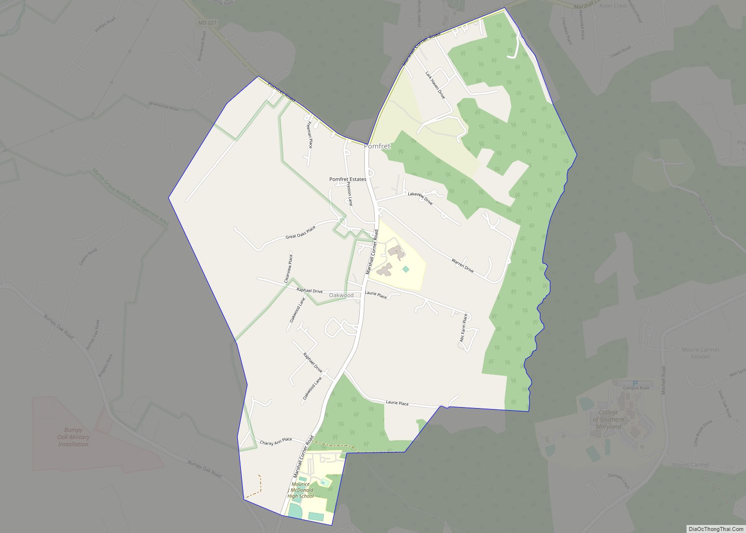
Pomfret is located in central Charles county on Marshall Corner Road part of which is also Route 227. It is one mile west of the College of Southern Maryland and three fifths of a mile south of Bennsville Park.
| Name: | Pomfret CDP |
|---|---|
| LSAD Code: | 57 |
| LSAD Description: | CDP (suffix) |
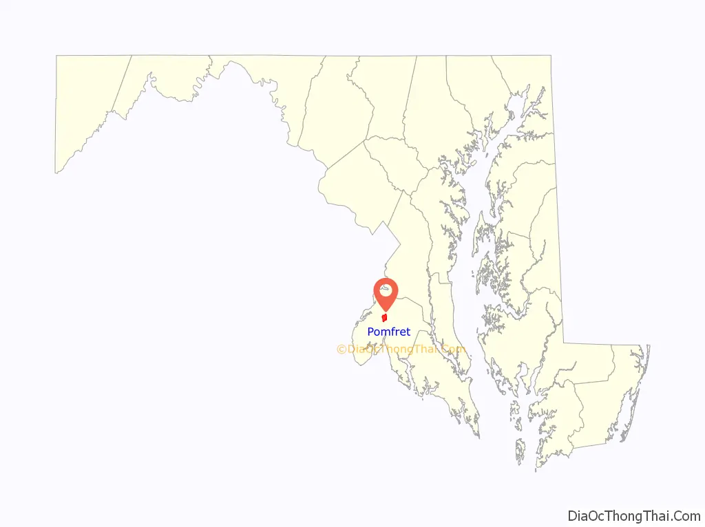
| State: | Maryland |
| County: | Charles County |
| Elevation: | 126 ft (38 m) |
| Total Area: | 2.74 sq mi (7.10 km²) |
| Land Area: | 2.74 sq mi (7.10 km²) |
| Water Area: | 0.00 sq mi (0.00 km²) |
| Total Population: | 514 |
| Population Density: | 187.59/sq mi (72.43/km²) |
| ZIP code: | 20675 |
| FIPS code: | 2462675 |
| GNISfeature ID: | 586631 |
Online Interactive Map
Click on ![]() to view map in "full screen" mode.
to view map in "full screen" mode.
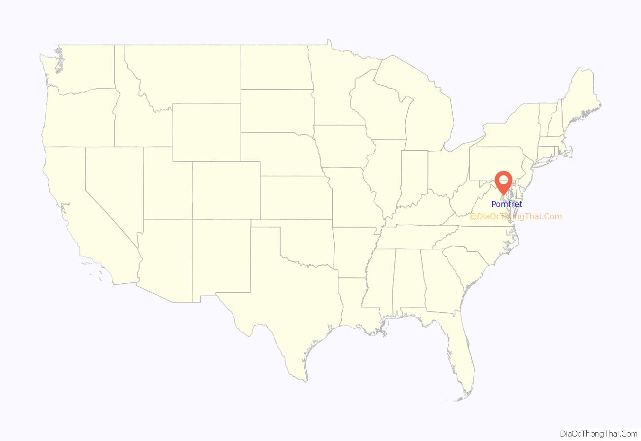
Pomfret location map. Where is Pomfret CDP?
History
A house was built in what is now Pomfret by Francis Caleb Green, on part of the 2,400 acres (970 ha) of land granted in 1666 to the sons of Thomas Greene, the second Provincial Governor of Maryland, who named it “Green’s Inheritance”. Mother Catherine Spalding, born in 1793, was a native of Pomfret, according to a brass plaque inside the front entrance to St. Joseph’s. The active historic St. Joseph’s Catholic Church was established by Father George Hunter, S.J. in Pomfret in 1763. The current structure dates from 1849.
Acquinsicke, Green’s Inheritance, McPherson’s Purchase and Pleasant Hill are all listed on the National Register of Historic Places.
Station 13 Dive Rescue and Recovery Team
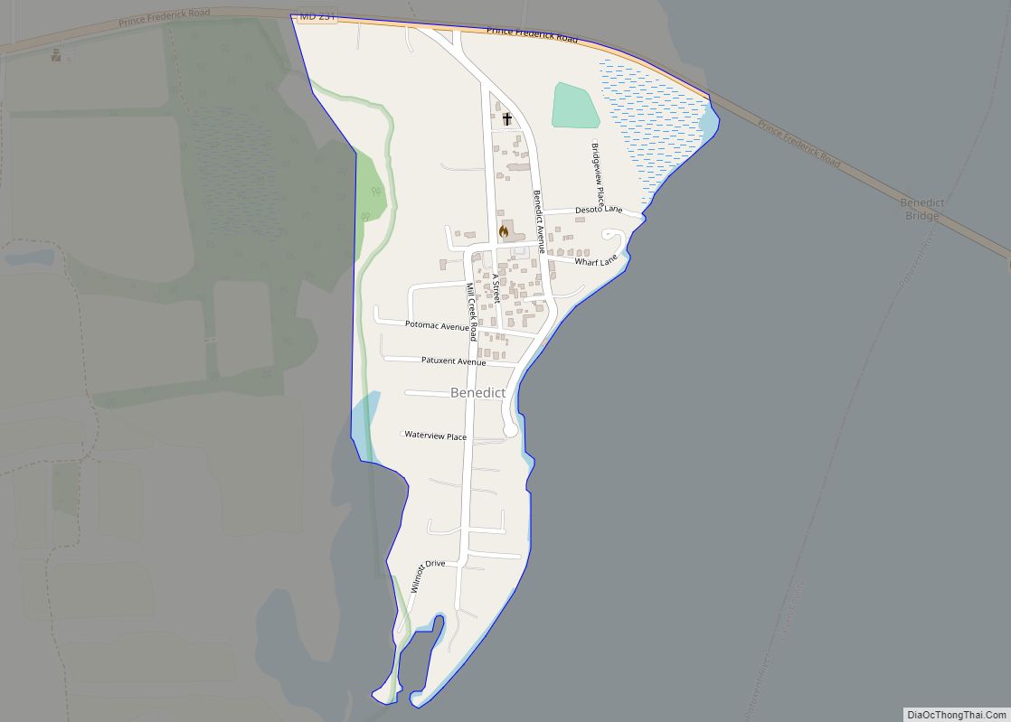
Station 13 in Pomfret houses Charles County Dive Rescue Company 13, which provides underwater rescue and recovery services related to drowning or crime victims in waters of the county and surrounding jurisdictions, as well as assisting with fast water rescue during floods. The Team also provides public education on water safety and ice fall-through safety. Station 13 does not provide fire protection or emergency medical services to the immediate Pomfret community. It was built in Pomfret in 2009.
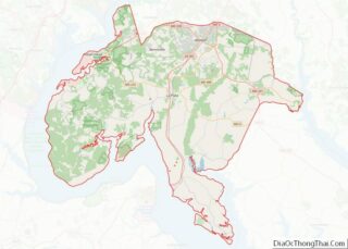
Pomfret Road Map
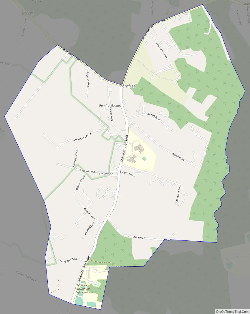
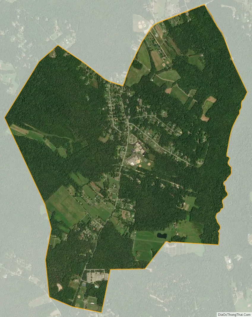
Pomfret city Satellite Map
See also
Map of Maryland State and its subdivision: Map of other states:- Alabama
- Alaska
- Arizona
- Arkansas
- California
- Colorado
- Connecticut
- Delaware
- District of Columbia
- Florida
- Georgia
- Hawaii
- Idaho
- Illinois
- Indiana
- Iowa
- Kansas
- Kentucky
- Louisiana
- Maine
- Maryland
- Massachusetts
- Michigan
- Minnesota
- Mississippi
- Missouri
- Montana
- Nebraska
- Nevada
- New Hampshire
- New Jersey
- New Mexico
- New York
- North Carolina
- North Dakota
- Ohio
- Oklahoma
- Oregon
- Pennsylvania
- Rhode Island
- South Carolina
- South Dakota
- Tennessee
- Texas
- Utah
- Vermont
- Virginia
- Washington
- West Virginia
- Wisconsin
- Wyoming