Port Tobacco, officially Port Tobacco Village, is a town in Charles County, in southern Maryland, United States. The population was 13 at the 2010 census, making Port Tobacco the smallest incorporated town in Maryland.
| Name: | Port Tobacco Village town |
|---|---|
| LSAD Code: | 43 |
| LSAD Description: | town (suffix) |
| State: | Maryland |
| County: | Charles County |
| Incorporated: | 1888 |
| Elevation: | 100 ft (30 m) |
| Total Area: | 0.18 sq mi (0.48 km²) |
| Land Area: | 0.18 sq mi (0.48 km²) |
| Water Area: | 0.00 sq mi (0.00 km²) |
| Total Population: | 18 |
| Population Density: | 97.83/sq mi (37.68/km²) |
| ZIP code: | 20677 |
| Area code: | 240 and 301 |
| FIPS code: | 2463225 |
Online Interactive Map
Click on ![]() to view map in "full screen" mode.
to view map in "full screen" mode.
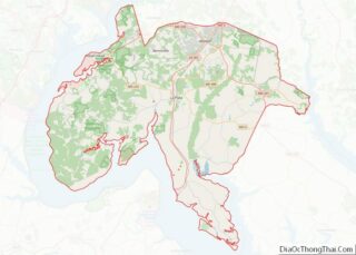
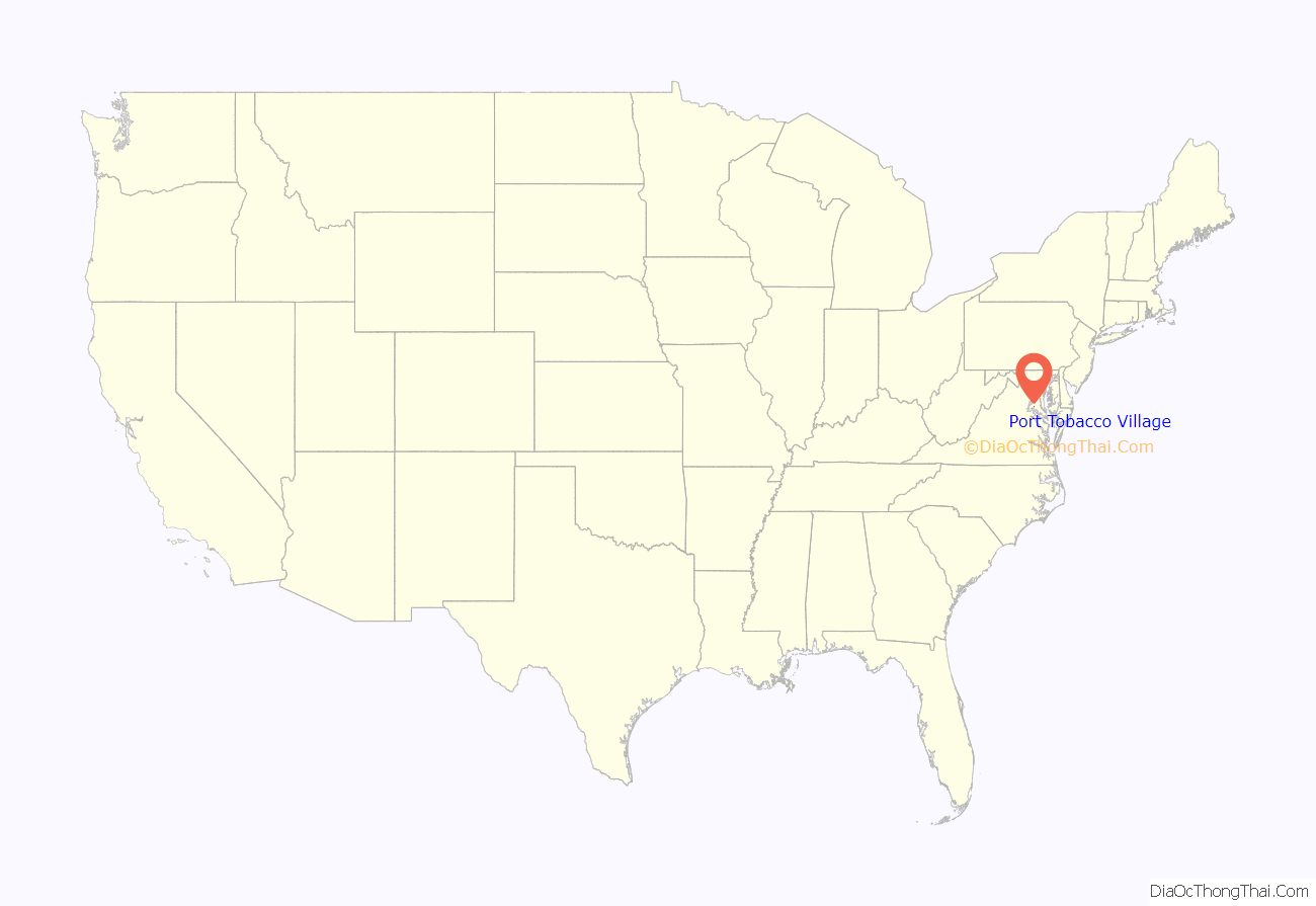
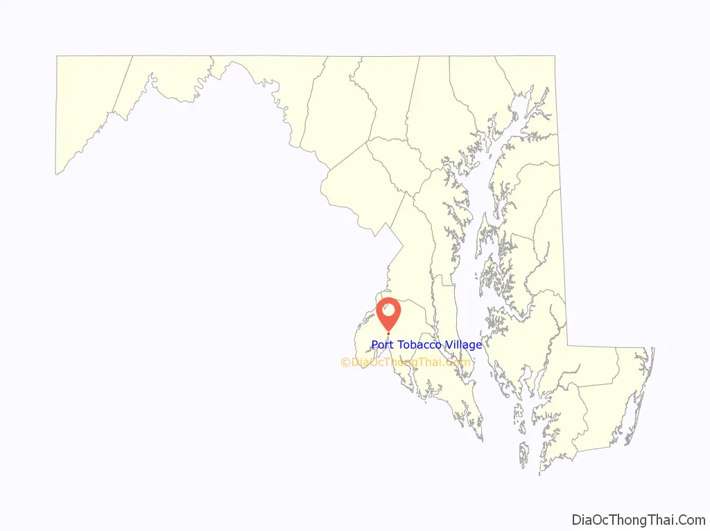
Port Tobacco Village location map. Where is Port Tobacco Village town?
Port Tobacco Village Road Map
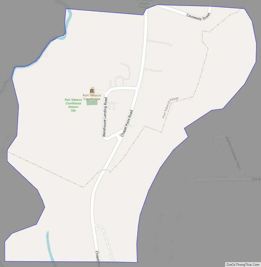
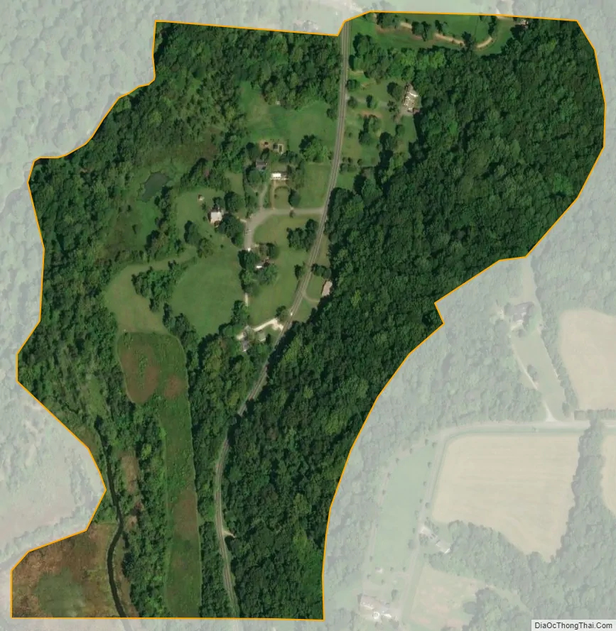
Port Tobacco Village city Satellite Map
Geography
Port Tobacco Village is located in central Charles County near the intersection of Maryland Route 6 and Chapel Point Road, just southwest of the neighboring town of La Plata. It sits near the Port Tobacco River, which joins the Potomac River a short distance south.
According to the United States Census Bureau, the town has a total area of 0.16 square miles (0.41 km), all land.
See also
Map of Maryland State and its subdivision: Map of other states:- Alabama
- Alaska
- Arizona
- Arkansas
- California
- Colorado
- Connecticut
- Delaware
- District of Columbia
- Florida
- Georgia
- Hawaii
- Idaho
- Illinois
- Indiana
- Iowa
- Kansas
- Kentucky
- Louisiana
- Maine
- Maryland
- Massachusetts
- Michigan
- Minnesota
- Mississippi
- Missouri
- Montana
- Nebraska
- Nevada
- New Hampshire
- New Jersey
- New Mexico
- New York
- North Carolina
- North Dakota
- Ohio
- Oklahoma
- Oregon
- Pennsylvania
- Rhode Island
- South Carolina
- South Dakota
- Tennessee
- Texas
- Utah
- Vermont
- Virginia
- Washington
- West Virginia
- Wisconsin
- Wyoming