Templeville is a town in Caroline and Queen Anne’s counties, Maryland, United States. Templeville is located near the Maryland-Delaware line. The population was 138 at the 2010 census. It was known as Bullock Town until the name was changed in 1847. The name Templeville derives from the Temple family, whose most famous member was Governor William Temple of Delaware.
| Name: | Templeville town |
|---|---|
| LSAD Code: | 43 |
| LSAD Description: | town (suffix) |
| State: | Maryland |
| County: | Caroline County, Queen Anne’s County |
| Incorporated: | 1865 |
| Elevation: | 69 ft (21 m) |
| Total Area: | 0.06 sq mi (0.14 km²) |
| Land Area: | 0.06 sq mi (0.14 km²) |
| Water Area: | 0.00 sq mi (0.00 km²) |
| Total Population: | 113 |
| Population Density: | 2,054.55/sq mi (800.51/km²) |
| ZIP code: | 21670 |
| Area code: | 410 |
| FIPS code: | 2477200 |
| GNISfeature ID: | 0591398 |
Online Interactive Map
Click on ![]() to view map in "full screen" mode.
to view map in "full screen" mode.
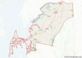
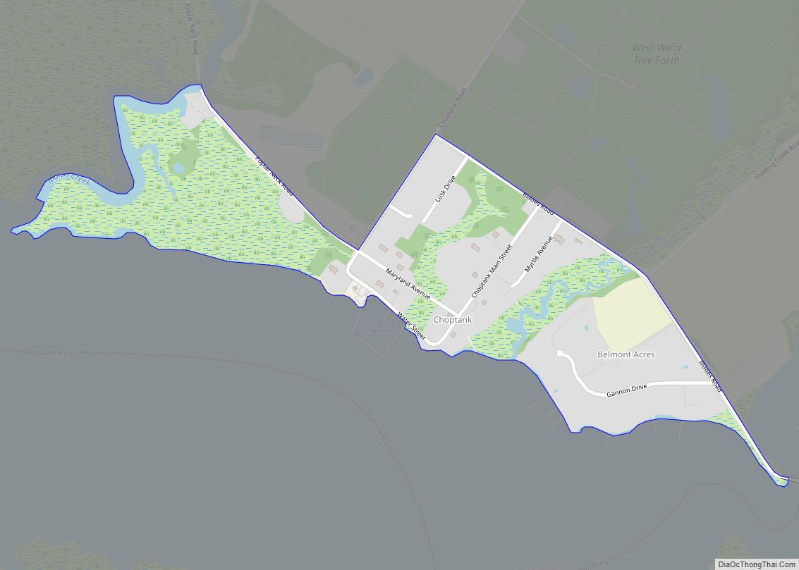
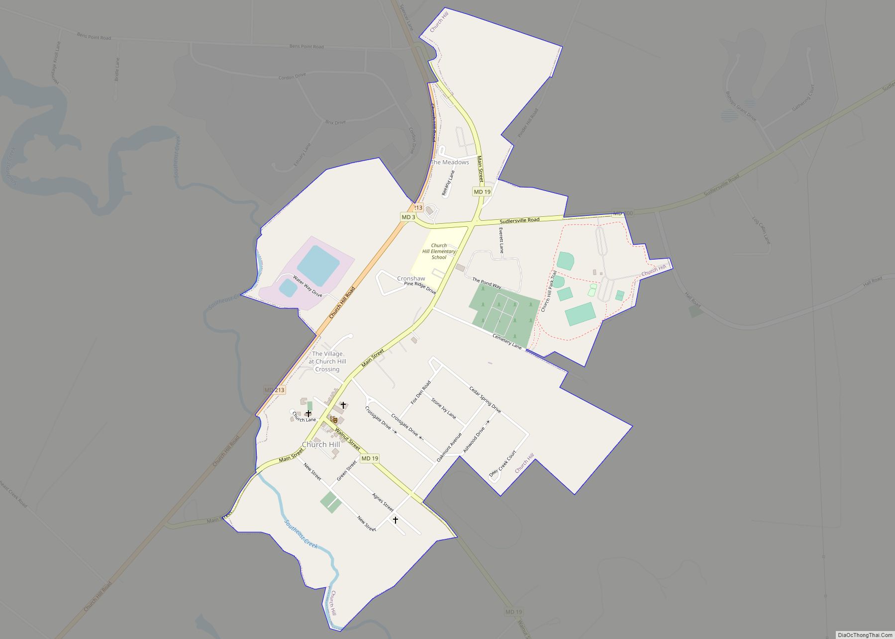
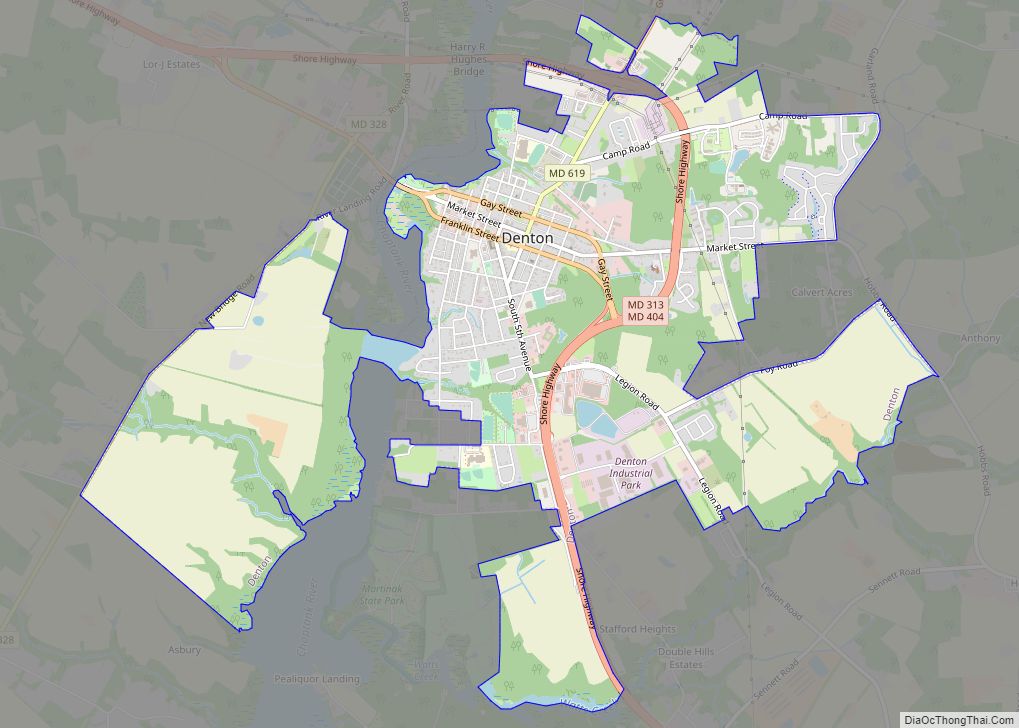
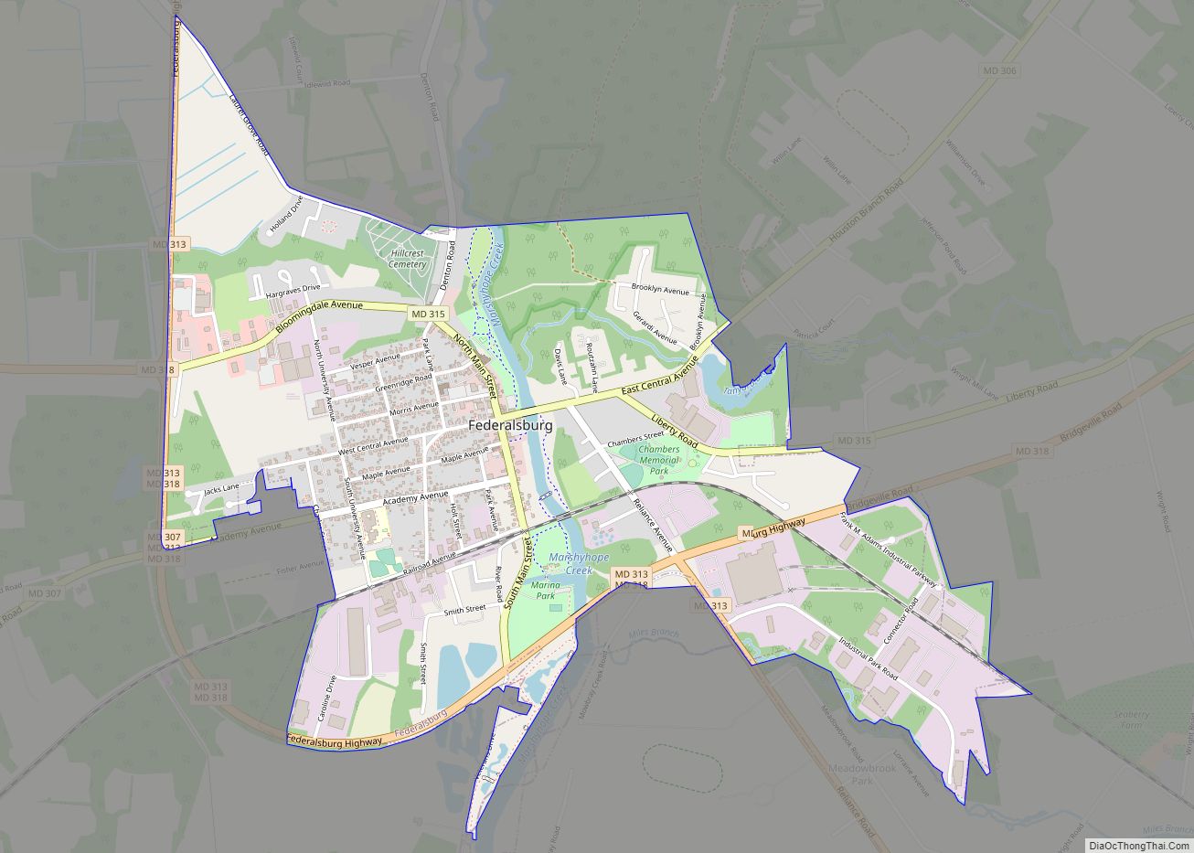
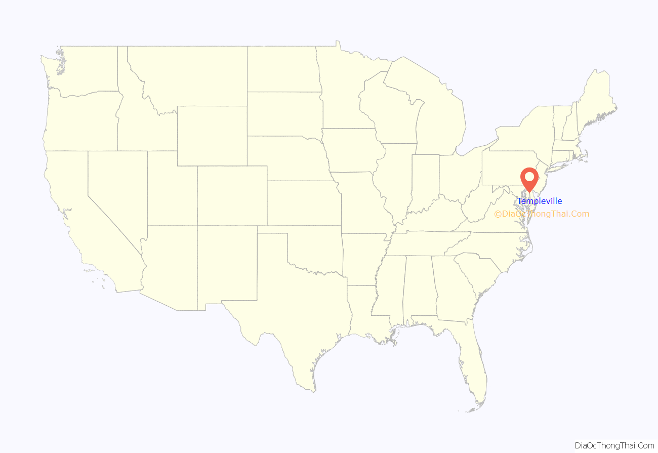
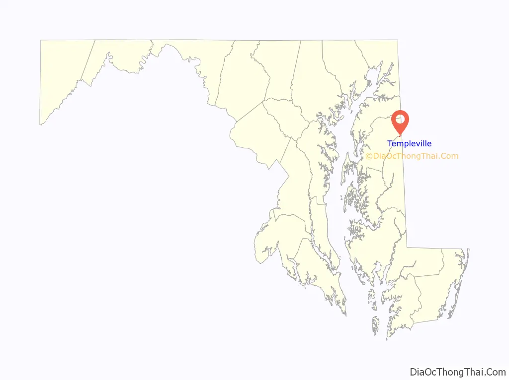
Templeville location map. Where is Templeville town?
History
Templeville is named after the Temple family. The Temple family resided in Maryland from the mid-1700s. It is believed the Temple plantation was located where Templeville and the surrounding area is today. A small, private cemetery for the Temple family can be found just outside Templeville. Some of the tombstones are still legible, although time has taken its toll on them. The most famous member of the Temple family was William Temple, Governor of Delaware. He was the youngest governor to serve in Delaware in all of its history. He was born in Maryland and moved to Smyrna, Delaware at the age of 18.
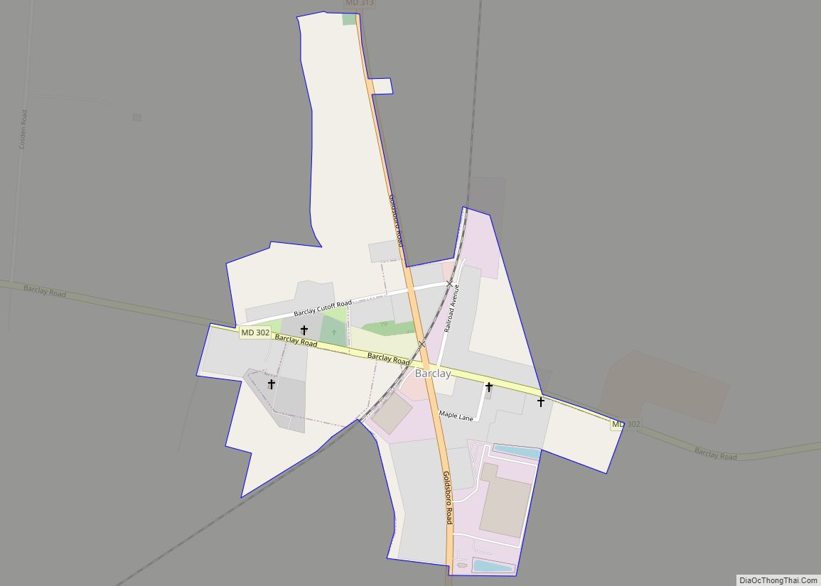
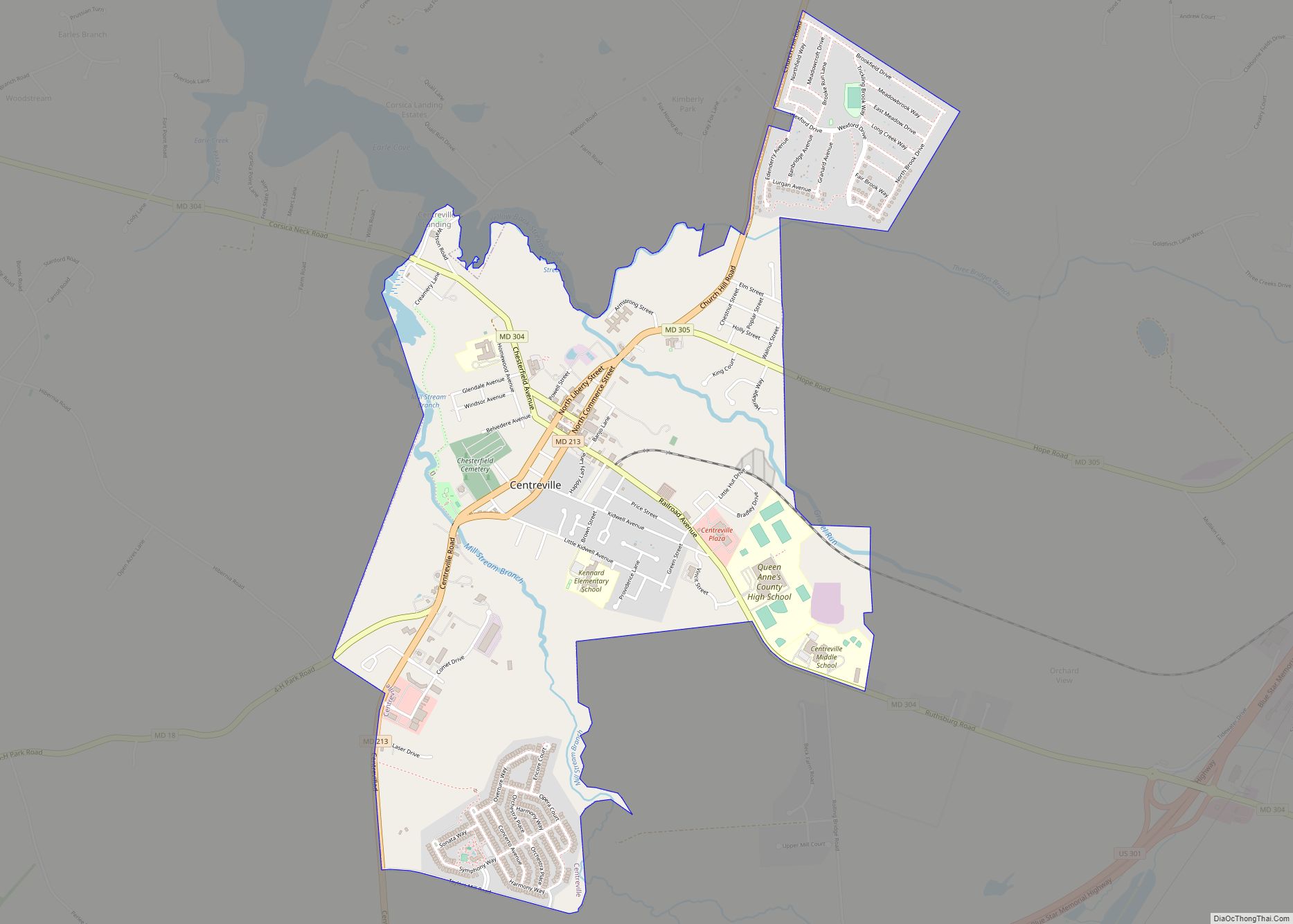
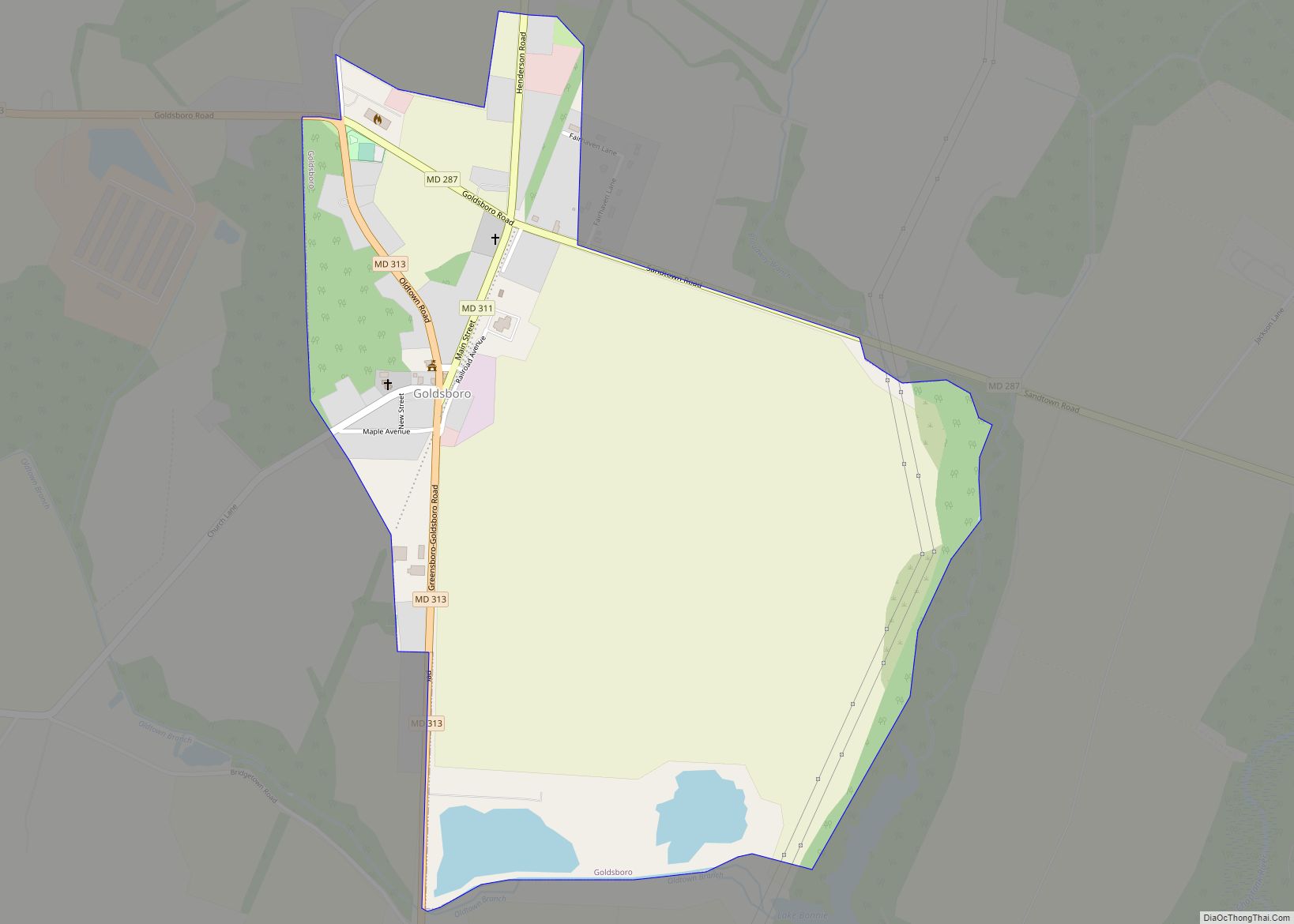
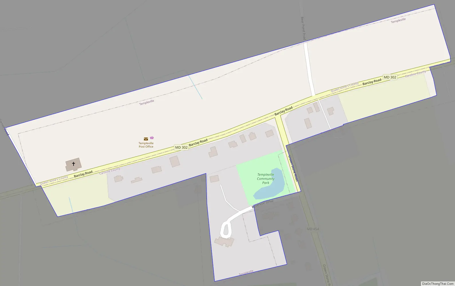
Templeville Road Map
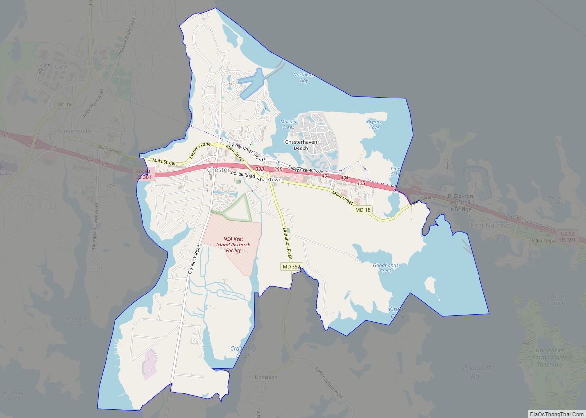
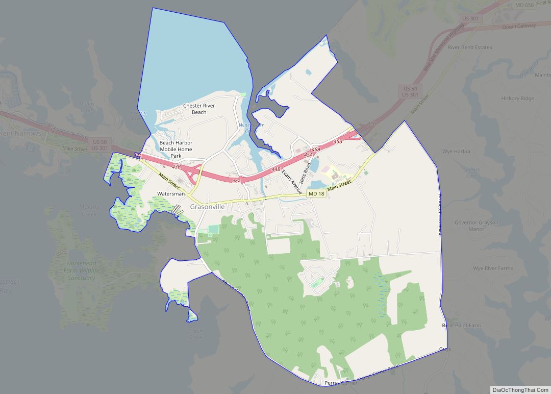
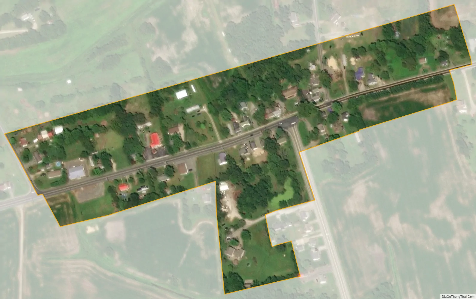
Templeville city Satellite Map
Geography
Templeville is located at 39°8′11″N 75°46′6″W / 39.13639°N 75.76833°W / 39.13639; -75.76833 (39.136330, -75.768398).
According to the United States Census Bureau, the town has a total area of 0.08 square miles (0.21 km), all land.
See also
Map of Maryland State and its subdivision: Map of other states:- Alabama
- Alaska
- Arizona
- Arkansas
- California
- Colorado
- Connecticut
- Delaware
- District of Columbia
- Florida
- Georgia
- Hawaii
- Idaho
- Illinois
- Indiana
- Iowa
- Kansas
- Kentucky
- Louisiana
- Maine
- Maryland
- Massachusetts
- Michigan
- Minnesota
- Mississippi
- Missouri
- Montana
- Nebraska
- Nevada
- New Hampshire
- New Jersey
- New Mexico
- New York
- North Carolina
- North Dakota
- Ohio
- Oklahoma
- Oregon
- Pennsylvania
- Rhode Island
- South Carolina
- South Dakota
- Tennessee
- Texas
- Utah
- Vermont
- Virginia
- Washington
- West Virginia
- Wisconsin
- Wyoming