Urbana (/ərˈbænə/ ər-BAN-ə) is a suburban census-designated place located in Frederick County, Maryland, United States. It lies at the I-270/MD 80 interchange, approximately 7.5 miles (12.1 km) south-east of Frederick and about 37 miles (60 km) north-west of Washington, D.C. Urbana started to develop circa 1999 and, as of the 2010 census, had a population of 9,175. It is part of the Washington metropolitan area.
In August 2015, Urbana was ranked #35 in the country for Money.com “Best Places to Live 2015” and in 2018, Urbana was ranked #9 in Maryland for Niche’s Best places to live 2018.
| Name: | Urbana CDP |
|---|---|
| LSAD Code: | 57 |
| LSAD Description: | CDP (suffix) |
| State: | Maryland |
| County: | Frederick County |
| Elevation: | 468 ft (143 m) |
| Total Area: | 7.79 sq mi (20.17 km²) |
| Land Area: | 7.77 sq mi (20.13 km²) |
| Water Area: | 0.01 sq mi (0.04 km²) |
| Total Population: | 13,304 |
| Population Density: | 1,711.57/sq mi (660.81/km²) |
| ZIP code: | 21704 |
| Area code: | 301, 240 |
| FIPS code: | 2479900 |
| GNISfeature ID: | 0583799 |
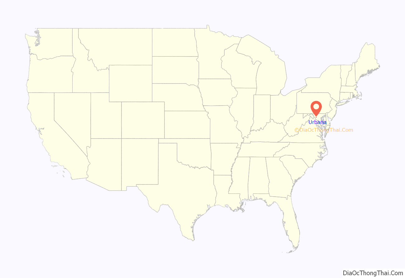
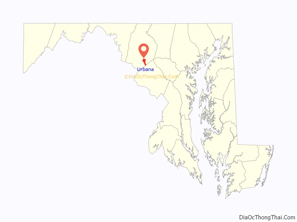
Online Interactive Map
Click on ![]() to view map in "full screen" mode.
to view map in "full screen" mode.
Urbana location map. Where is Urbana CDP?
History
18th, 19th, and 20th centuries
The Urbana area was first settled in 1730.
Urbana is the site of Landon House, which was built in 1754 along the Rappahannock River around Fredericksburg, Virginia. It was used as a seminary for girls. In 1840, Landon House was moved by boat to Washington and then by oxcarts to its present site in Urbana. Landon House later served as a military academy and a hospital during the Civil War. Confederate General J.E.B. Stuart’s officers held a dance at Landon House in 1862. During the dance, Union cavalry advanced on the house, but the Confederate military drove the Union forces away and the dance continued.
Zion Episcopal Church was built in 1802 and served as a house of worship until badly damaged by fire in 1961. Since 2005, it has been restored to its original condition as a museum. Amelung House and Glassworks were listed on the National Register of Historic Places in 1973. Stancioff House was listed in 1975, and Fat Oxen in 1979.
2000–2010
The original Urbana community has been somewhat overshadowed by recent developments, such as the Villages of Urbana and the Urbana Highlands. These developments, begun in 1999, have swelled Urbana’s population and put a strain on the community’s school system, police force, and utilities.
In 2006, the Urbana Regional Library and Senior Center opened on Amelung Street. The facility includes three floors and over 25,000 square feet (2,300 m).
Urbana has some of the highest quality ratings for Maryland’s elementary, middle, and high schools. The diverse population was named “The 2009 Best Selling Community in Maryland”. The community has two swimming pools, a new district park, plenty of tennis and basketball courts, and is close to the I-270 technology corridor.
2010–present
As of the 2010 census, Urbana had a population of 9,175 people, an increase from 622 residents in 2000. As of 2020, Urbana’s population is about 11,800. Urbana has also steadily gained various shops and restaurants over the years and a new elementary school called Sugarloaf Elementary School. New townhouses and apartments have been built near the Urbana High School and several houses in the new Stone Barn Village development on the western side of the town.
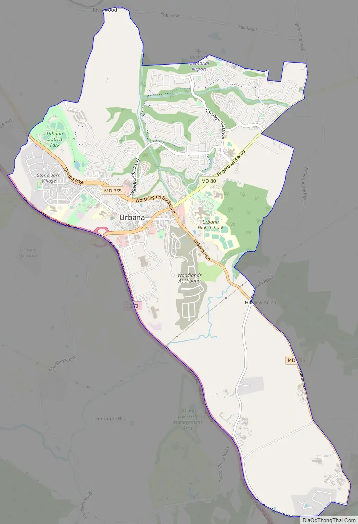
Urbana Road Map
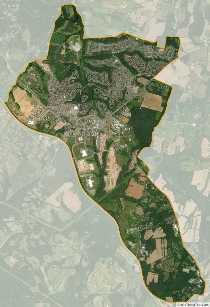
Urbana city Satellite Map
Geography
Urbana is located in southeastern Frederick County, centered at the intersection of Maryland Routes 80 and 355. Interstate 270 forms the southwestern edge of the community, with access from Exit 26 (MD 80).
According to the U.S. Census Bureau, the Urbana CDP has a total area of 6.6 square miles (17.2 km), of which 6.6 square miles (17.0 km) is land and 0.1 square miles (0.2 km), or 0.95%, is water.
Climate
Urbana is part of the humid subtropical climate zone, with hot, humid summers, cool winters, and ample precipitation year-round. It is above the Fall Line, which gives it slightly lower year-round temperatures than cities to the south, such as Washington, D.C.
On average, Urbana gets about 40 inches (1,000 mm) of rain (April and May being the two rainiest months on average with nine days of rain each) and 25 inches (640 mm) of snow per year. July is the warmest month, with an average high of approximately 86 °F (30 °C).
The coldest month is January, with an average low of around 23 °F (−5 °C). Urbana experiences rain an average of 112.6 days of the year.
See also
Map of Maryland State and its subdivision: Map of other states:- Alabama
- Alaska
- Arizona
- Arkansas
- California
- Colorado
- Connecticut
- Delaware
- District of Columbia
- Florida
- Georgia
- Hawaii
- Idaho
- Illinois
- Indiana
- Iowa
- Kansas
- Kentucky
- Louisiana
- Maine
- Maryland
- Massachusetts
- Michigan
- Minnesota
- Mississippi
- Missouri
- Montana
- Nebraska
- Nevada
- New Hampshire
- New Jersey
- New Mexico
- New York
- North Carolina
- North Dakota
- Ohio
- Oklahoma
- Oregon
- Pennsylvania
- Rhode Island
- South Carolina
- South Dakota
- Tennessee
- Texas
- Utah
- Vermont
- Virginia
- Washington
- West Virginia
- Wisconsin
- Wyoming


