White Marsh is an unincorporated community and census-designated place in Baltimore County, Maryland, United States. The population was 9,513 at the 2010 census. White Marsh is a northeast suburb of Baltimore.
| Name: | White Marsh CDP |
|---|---|
| LSAD Code: | 57 |
| LSAD Description: | CDP (suffix) |
| State: | Maryland |
| County: | Baltimore County |
| Founded: | 1965 |
| Elevation: | 52 ft (16 m) |
| Total Area: | 5.33 sq mi (13.81 km²) |
| Land Area: | 5.31 sq mi (13.75 km²) |
| Water Area: | 0.02 sq mi (0.05 km²) |
| Total Population: | 10,287 |
| Population Density: | 1,937.29/sq mi (747.95/km²) |
| ZIP code: | 21162 |
| Area code: | 410 |
| FIPS code: | 2484350 |
| GNISfeature ID: | 0591542 |
Online Interactive Map
Click on ![]() to view map in "full screen" mode.
to view map in "full screen" mode.
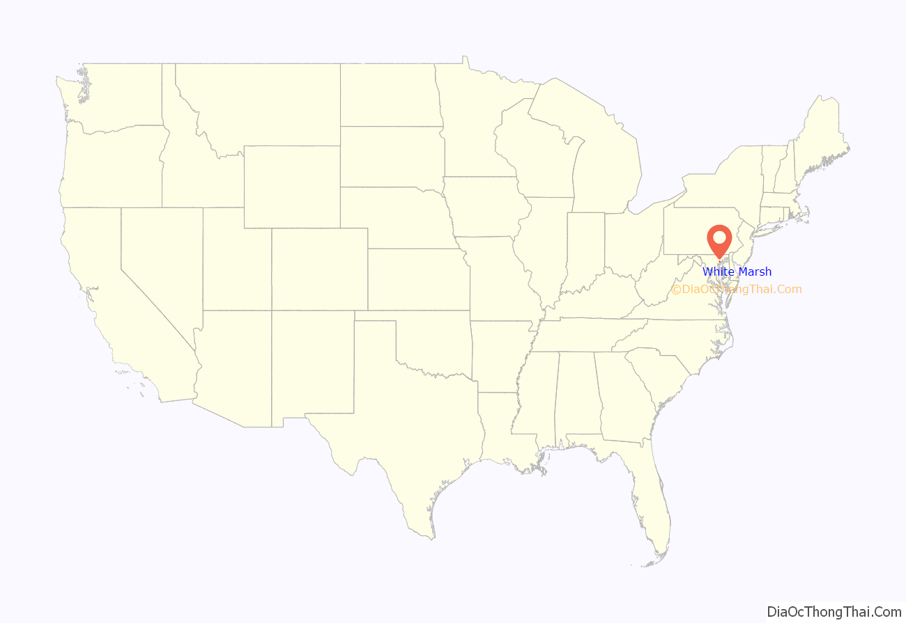
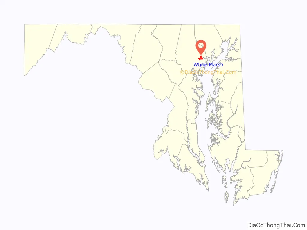
White Marsh location map. Where is White Marsh CDP?
History
In 1965, the largely undeveloped northeast corridor was identified by Baltimore County as the preferred site for intensive development. A town center was proposed to be located west of Belair Road at the planned intersection of White Marsh and Walther Boulevards.
The Harry T. Campbell Sons Corporation owned thousands of acres of land to the east of the planned town center, on both sides of Interstate 95. The land was bought in the 1930s and was being mined of its natural sand and gravel deposits. The Campbell family merged its sand and gravel business with an international building supply company. A new family-owned entity was charged with rejuvenating the family’s property in northeast Baltimore County, which was covered with deep craters and pits.
In January 1943, the Cowenton Volunteer Fire Company was founded to counter the threat of incendiary bombings from the Axis Powers during the ongoing Second World War. The volunteer fire department, which was renamed the White Marsh Volunteer Fire Company in 2003, currently maintains a fire department and five vehicles, including two fire engines and an ambulance.
In the late 1960s, Nottingham Properties began analyzing the feasibility of a new town in White Marsh. From the first, the intent was to incorporate a variety of land uses and community services, including residential, retail, business, and industrial.
In 1969, a planning analysis of regional growth found development potential in the northeast brought about by the construction of I-95. The county was planning a series of arterial roads traveling in a northeasterly direction from Baltimore County that would pass through the Campbell land. The County agreed to move the planned town center east, to be developed on 1,500 acres (610 ha) of the Campbell land.
The plan was for a town center in an area created by a triangle of arterial roads. A mall would be at the center. The density of residential and business development would decline as it moved away from the mall. A residential sector was designated to the north, between Silver Spring Road and the planned White Marsh Boulevard. It would include all residential densities except high-rise. The area east of the town center to I-95 would be for office and research facilities. The Campbell land east of I-95 was slated for future industrial development.
Rezoning of the area was completed in 1970 and 1971. In 1979 the area was formally designated as a town center in the Baltimore County Master Plan.
From 1972 to 1981, the planning and development of the White Marsh Mall occurred, with the Rouse Company as owner and developer on land rented from Nottingham. In July 1973, Sears committed as an anchor store. In 1981, most stores opened. In 1992, Hecht’s replaced Hutzler’s. The White Marsh Mall is one of the largest regional malls in the Baltimore area, with five anchor stores and 190 specialty shops in about 1.4 million square feet (130,000 m). Next to the mall’s property is the third IKEA store built in the United States, the oldest still remaining.
In addition to the Mall, 2,400 residential units have been built in the town center, and 700,000 square feet (65,000 m) of office and research and development space has been built. The General Motors Baltimore Transmission facility was built in White Marsh and operated from 2000 to 2019.
The White Marsh Library opened on January 25, 1988. It is part of the White Marsh Town Center, which includes the White Marsh Mall; the White Marsh Police Station, which opened in November 1987; the Nottingham Post Office, which opened in November 1990; and thousands of square feet of retail, industrial, and office space, which are still being developed.
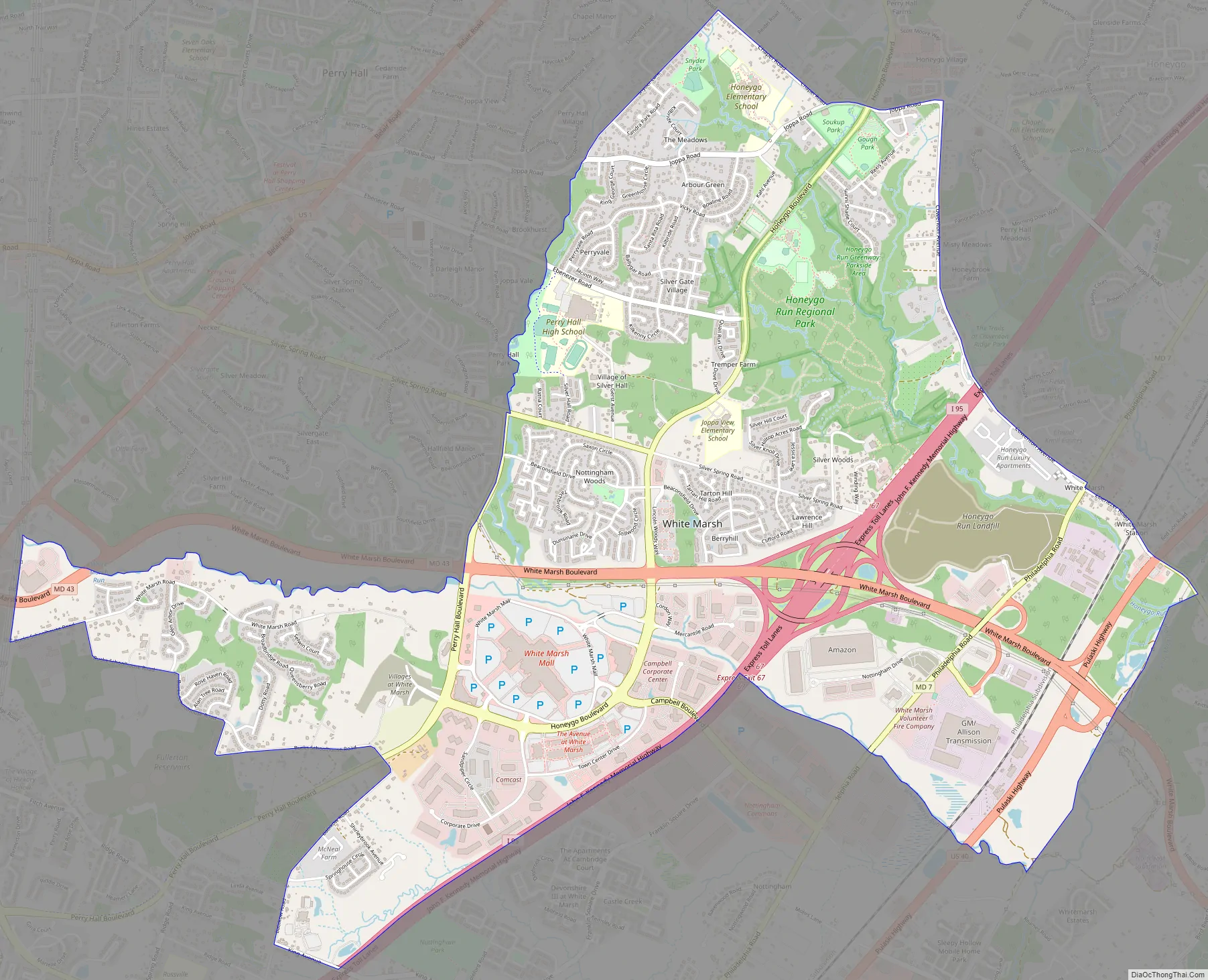
White Marsh Road Map
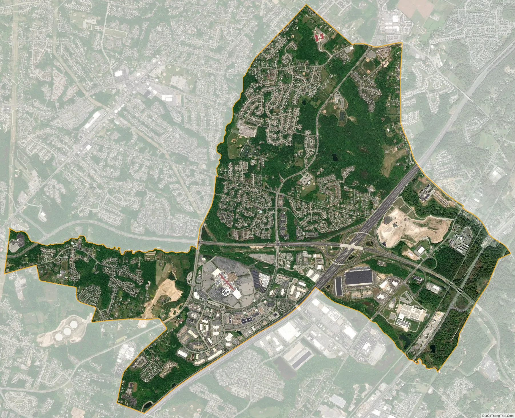
White Marsh city Satellite Map
Geography
White Marsh is located at 39°23′1″N 76°27′30″W / 39.38361°N 76.45833°W / 39.38361; -76.45833 (39.383621, −76.458315).
According to the United States Census Bureau, the CDP has a total area of 5.3 square miles (14 km), of which 5.3 square miles (14 km) is land and 0.19% or about 2.6 hectares (6.4 acres) is water.
Nearby suburbs include Perry Hall to the north, Rosedale to the southwest, Middle River to the south and Parkville to the west.
See also
Map of Maryland State and its subdivision: Map of other states:- Alabama
- Alaska
- Arizona
- Arkansas
- California
- Colorado
- Connecticut
- Delaware
- District of Columbia
- Florida
- Georgia
- Hawaii
- Idaho
- Illinois
- Indiana
- Iowa
- Kansas
- Kentucky
- Louisiana
- Maine
- Maryland
- Massachusetts
- Michigan
- Minnesota
- Mississippi
- Missouri
- Montana
- Nebraska
- Nevada
- New Hampshire
- New Jersey
- New Mexico
- New York
- North Carolina
- North Dakota
- Ohio
- Oklahoma
- Oregon
- Pennsylvania
- Rhode Island
- South Carolina
- South Dakota
- Tennessee
- Texas
- Utah
- Vermont
- Virginia
- Washington
- West Virginia
- Wisconsin
- Wyoming


