Allenhurst is a borough located at the Jersey Shore, in Monmouth County, in the U.S. state of New Jersey. The settlement was named after resident Abner Allen and was incorporated as a borough by an act of the New Jersey Legislature on April 26, 1897, from portions of Ocean Township. As of the 2020 United States census, the borough’s population was 472, a decrease of 24 (−4.8%) from the 2010 census count of 496, which in turn reflected a decline of 222 (−30.9%) from the 718 counted at the 2000 census.
Bordered by the Atlantic Ocean to the east and Deal Lake to the west, it is in close proximity to New York City and is a stop on the NJ Transit North Jersey Coast Line. The borough is at the center of a string of wealthy communities between Long Branch and Asbury Park with many historic homes built during the late 19th and early 20th centuries.
In 2006, Allenhurst ranked 131st in Forbes magazine’s list of the most expensive ZIP Codes in the United States.
| Name: | Allenhurst borough |
|---|---|
| LSAD Code: | 21 |
| LSAD Description: | borough (suffix) |
| State: | New Jersey |
| County: | Monmouth County |
| Incorporated: | April 26, 1897 |
| Elevation: | 23 ft (7 m) |
| Total Area: | 0.28 sq mi (0.73 km²) |
| Land Area: | 0.25 sq mi (0.65 km²) |
| Water Area: | 0.03 sq mi (0.08 km²) 11.43% |
| Total Population: | 472 |
| Population Density: | 1,884.4/sq mi (727.6/km²) |
| FIPS code: | 3400730 |
| GNISfeature ID: | 0885136 |
| Website: | www.allenhurstnj.org |
Online Interactive Map
Click on ![]() to view map in "full screen" mode.
to view map in "full screen" mode.
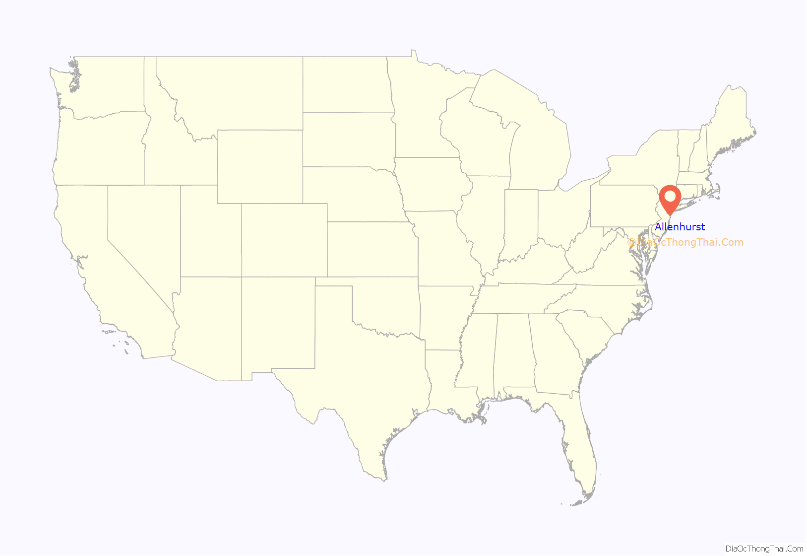
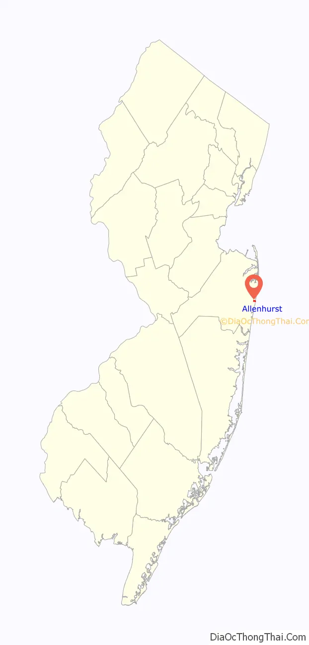
Allenhurst location map. Where is Allenhurst borough?
History
Allenhurst “reflects the history of development from a rural area to a suburb and resort town of New York City. In 1895, the 120-acre (49 ha) Allen farm was bought by the Coast Land Improvement Company in order to build an exclusive resort community to attract upper class summer residents. The proximity of Allenhurst to the rail line was significant in the growth and popularity of Allenhurst, allowing residents of New York City easier access to the community.”
On April 26, 1897, Allenhurst was incorporated as a borough by an act of the New Jersey Legislature from portions of Ocean Township. The borough is situated in the center of a string of wealthy communities between Long Branch and Asbury Park. The borough was named for resident Abner Allen.
During the late 19th and early 20th centuries many historic homes were built in Victorian, Queen Anne, Italian Renaissance Revival, Tudor Revival, Prairie, Mission Revival, American Craftsman, Shingle, Colonial Revival, Neoclassical and Gothic Revival architectural styles. Local ordinances overseen by an historic preservation commission have ensured the preservation of historical architecture by enforcing strict guidelines for the renovation of older homes.
In 2006, Allenhurst ranked 131st in Forbes magazine’s list of the most expensive ZIP Codes in the United States. In the magazine’s 2012 rankings, the borough was ranked 448th, with a median price of $665,043.
After Hurricane Sandy had devastated the shoreline in October 2012, the U.S. Army Corps of Engineers (USACE) in 2015 pumped sand onto the beaches, which contained unexploded ordnance in the form of hundreds of fusing components for World War I-era artillery. From December 2016 until March 2017, USACE Baltimore District specialists in munitions and explosives removed 362 chap-stick-sized potentially live pieces, mostly boosters, which had most likely been disposed of as excess after World War I, and are not uncommon at Gateway’s Sandy Hook Unit. “Not only was Fort Hancock an active military base until 1974, but also the proving ground of the U.S. Army from 1874 until 1919.”
Historic district
The Allenhurst Residential Historic District is a historic district roughly bounded by the Atlantic Ocean, Main Street, Cedar Avenue, Hume Street and Elberon Avenue. The district was added to the National Register of Historic Places on June 18, 2010, for its significance in architecture. It includes 412 contributing buildings.
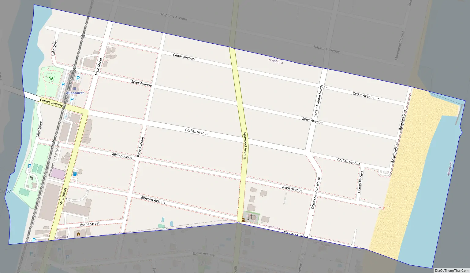
Allenhurst Road Map
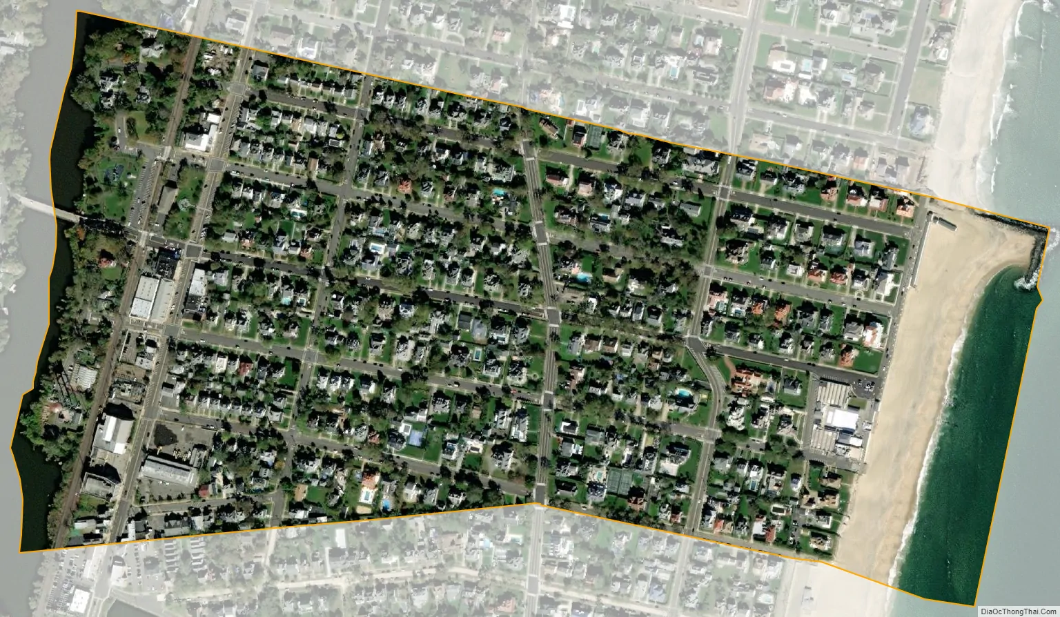
Allenhurst city Satellite Map
Geography
According to the United States Census Bureau, the borough had a total area of 0.28 square miles (0.73 km), including 0.25 square miles (0.65 km) of land and 0.03 square miles (0.08 km) of water (11.43%).
The borough borders the Atlantic Ocean to the east, Deal Lake to the west, and is in close proximity to New York City. The borough borders the Monmouth County municipalities of Deal, Interlaken, Loch Arbour and Ocean Township.
The beachfront is characterized by two groins, known to locals as “Crackup” and “The L”. “The L” was featured in Scuba Diving magazine as one of New Jersey’s premier shore diving locations.
Deal Lake covers 158 acres (64 ha), overseen by the Deal Lake Commission, established in 1974. Seven municipalities border the lake, accounting for 27 miles (43 km) of shoreline, also including Asbury Park, Deal, Interlaken, Loch Arbour, Neptune Township and Ocean Township.
See also
Map of New Jersey State and its subdivision: Map of other states:- Alabama
- Alaska
- Arizona
- Arkansas
- California
- Colorado
- Connecticut
- Delaware
- District of Columbia
- Florida
- Georgia
- Hawaii
- Idaho
- Illinois
- Indiana
- Iowa
- Kansas
- Kentucky
- Louisiana
- Maine
- Maryland
- Massachusetts
- Michigan
- Minnesota
- Mississippi
- Missouri
- Montana
- Nebraska
- Nevada
- New Hampshire
- New Jersey
- New Mexico
- New York
- North Carolina
- North Dakota
- Ohio
- Oklahoma
- Oregon
- Pennsylvania
- Rhode Island
- South Carolina
- South Dakota
- Tennessee
- Texas
- Utah
- Vermont
- Virginia
- Washington
- West Virginia
- Wisconsin
- Wyoming


