Brielle is a borough located in southern Monmouth County, in the U.S. state of New Jersey, along the Manasquan River. As of the 2020 United States census, the borough’s population was 4,982, its highest decennial count ever and an increase of 208 (+4.4%) from the 2010 census count of 4,774, which in turn reflected a decline of 119 (−2.4%) from the 4,893 counted at the 2000 census.
Brielle was formed as a borough by an act of the New Jersey Legislature on April 10, 1919, from portions of Wall Township, based on the results of a referendum passed on June 3, 1919. The borough was named after Brielle, Netherlands.
| Name: | Brielle borough |
|---|---|
| LSAD Code: | 21 |
| LSAD Description: | borough (suffix) |
| State: | New Jersey |
| County: | Monmouth County |
| Incorporated: | June 3, 1919 |
| Elevation: | 7 ft (2 m) |
| Total Area: | 2.37 sq mi (6.14 km²) |
| Land Area: | 1.76 sq mi (4.55 km²) |
| Water Area: | 0.61 sq mi (1.59 km²) 25.86% |
| Total Population: | 4,982 |
| Population Density: | 2,837.9/sq mi (1,095.7/km²) |
| ZIP code: | 08730 |
| Area code: | 732 exchanges: 223, 292, 528 |
| FIPS code: | 3407750 |
| GNISfeature ID: | 0885170 |
| Website: | www.briellenj.gov |
Online Interactive Map
Click on ![]() to view map in "full screen" mode.
to view map in "full screen" mode.
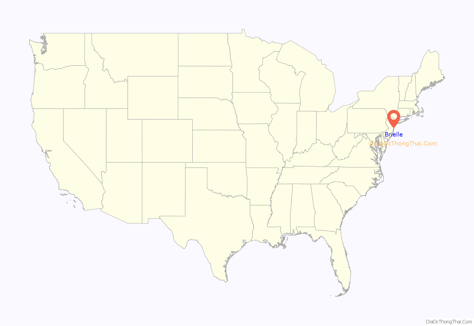
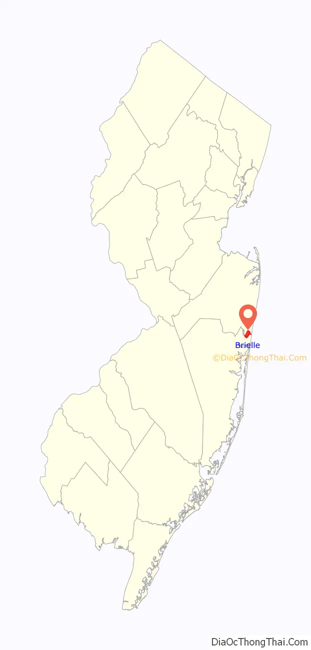
Brielle location map. Where is Brielle borough?
History
Archaeological excavations along what is now Birch Drive reveal temporary Lenape Native American settlements. The Lenape practiced farming in other parts of Monmouth County much of the year, and they visited the wooded areas in what is now Brielle for hunting and fishing.
The area was originally part of Shrewsbury Township and the first settlers were primarily farmers, and the area became known as Union Landing. In colonial times, salt was an important preservative, and before the American Revolutionary War, most of it was imported from Great Britain. The Union Salt Works opened around the outbreak of the war, and on April 5, 1778, several British Loyalists attacked and burned the salt works and other buildings. A year later, the salt works reopened and continued to operate through the duration of the war.
Early in the 19th century, Shrewsbury Township was divided, and the area became part of Howell Township which was further divided in 1851, when the area became part of Wall Township. On July 7, 1881, a group of businessmen purchased several acres of land and formed the Brielle Land Association with the intention of building vacation homes. The quaint riverside charm of the area reminded one of the developers of another pastoral town on a river which he had visited, Brielle, in the Netherlands.
Author Robert Louis Stevenson vacationed in Brielle for most of May 1888. During his stay he wrote a portion of his book The Master of Ballantrae and gave Osborn Island the nickname “Treasure Island” which was the title of one of his previous books.
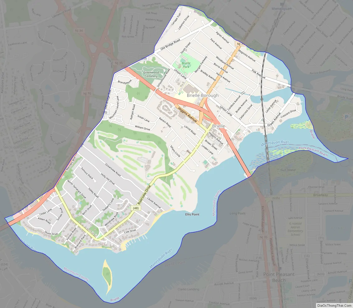
Brielle Road Map
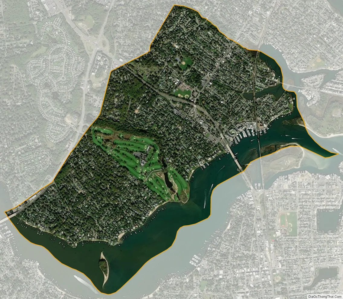
Brielle city Satellite Map
Geography
According to the United States Census Bureau, the borough had a total area of 2.37 square miles (6.14 km), including 1.76 square miles (4.55 km) of land and 0.61 square miles (1.59 km) of water (25.86%).
Located at the southeastern corner of Monmouth County, Brielle is bordered to the north and east by the Manasquan, to the west by Brick Township (in Ocean County) and Wall Township and to the south by Point Pleasant and Point Pleasant Beach across the Manasquan River. Route 35 runs through the middle of the town and Route 70 runs along its western edge.
The borough is primarily a residential community of single homes, with a few condominiums; there are almost no undeveloped lots of land left. There are several businesses located along Union Avenue and Higgins Avenue and some marinas along the Manasquan River. Ripley’s Believe It or Not! once stated that Brielle has “16 bars and no churches”. It currently has one church, The Church in Brielle (formerly the Dutch Reformed Church) and several restaurants that have liquor licenses, but no full bars. There is also a 140 acres (0.57 km) 18 hole golf course called the Manasquan River Golf Club.
The town has approximately 6.4 kilometers (4.0 mi) of waterfront along the Manasquan River, Glimmerglass, and Debbie’s Creek, all of which are salt water and tidal. Brielle’s borders extend to an 8-acre (32,000 m) island in the Manasquan River.
Manasquan Park is an unincorporated community located within Brielle.
See also
Map of New Jersey State and its subdivision: Map of other states:- Alabama
- Alaska
- Arizona
- Arkansas
- California
- Colorado
- Connecticut
- Delaware
- District of Columbia
- Florida
- Georgia
- Hawaii
- Idaho
- Illinois
- Indiana
- Iowa
- Kansas
- Kentucky
- Louisiana
- Maine
- Maryland
- Massachusetts
- Michigan
- Minnesota
- Mississippi
- Missouri
- Montana
- Nebraska
- Nevada
- New Hampshire
- New Jersey
- New Mexico
- New York
- North Carolina
- North Dakota
- Ohio
- Oklahoma
- Oregon
- Pennsylvania
- Rhode Island
- South Carolina
- South Dakota
- Tennessee
- Texas
- Utah
- Vermont
- Virginia
- Washington
- West Virginia
- Wisconsin
- Wyoming


