Matawan is a borough in Monmouth County, in the U.S. state of New Jersey. A historic community located near the Raritan Bay in the much larger Raritan Valley region, the borough is a commuter town of New York City within the New York Metropolitan Area. As of the 2020 United States census, the borough’s population was 9,565, an increase of 755 (+8.6%) from the 2010 census count of 8,810, which in turn reflected a decline of 100 (−1.1%) from the 8,910 counted in the 2000 Census.
Matawan is part of the Bayshore Regional Strategic Plan, an effort by nine municipalities in northern Monmouth County to reinvigorate the area’s economy by emphasizing the traditional downtowns, dense residential neighborhoods, maritime history, and the natural beauty of the Raritan Bayshore coastline.
| Name: | Matawan borough |
|---|---|
| LSAD Code: | 21 |
| LSAD Description: | borough (suffix) |
| State: | New Jersey |
| County: | Monmouth County |
| Incorporated: | June 28, 1895 |
| Elevation: | 10 ft (3 m) |
| Total Area: | 2.41 sq mi (6.24 km²) |
| Land Area: | 2.27 sq mi (5.87 km²) |
| Water Area: | 0.14 sq mi (0.37 km²) 5.89% |
| Total Population: | 9,565 |
| Population Density: | 4,221.1/sq mi (1,629.8/km²) |
| ZIP code: | 07747 |
| Area code: | 732 |
| FIPS code: | 3444520 |
| GNISfeature ID: | 0885293 |
| Website: | www.matawanborough.com |
Online Interactive Map
Click on ![]() to view map in "full screen" mode.
to view map in "full screen" mode.
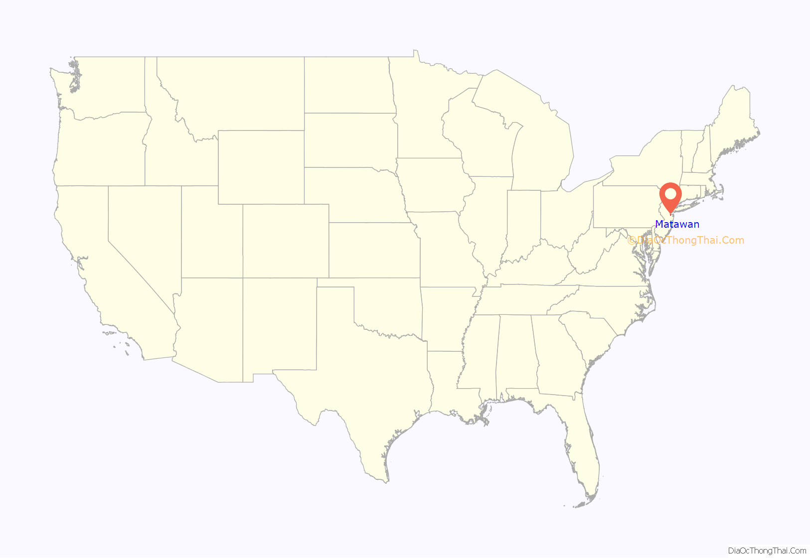
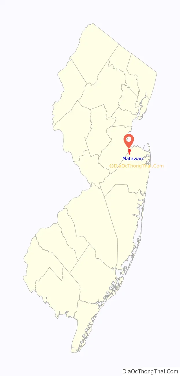
Matawan location map. Where is Matawan borough?
History
The Lenape Native Americans called the area “Mechananienk,” which gave rise to the area being called “Matovancons” by Dutch settlers, from which derives the name “Matawan”. The name may derive from a Lenape language word meaning “where two rivers come together” or it may originate from the Southern Unami Matawonge, “bad riverbank” or “bad hill,” a possible reference to bluffs along Raritan Bay which were subject to erosion and collapse prior to the construction of a seawall in the 1970s. Another possible source is Matawan, Northern Unami for “bad fog,” which may have referred to fog generated on Raritan Bay. Other possible meanings are “magician”, “charmed skin” or “it arrives in a lake”.
The community was established by Dutch settlers in the 17th century (Matawan celebrated a tricentennial in the 1980s). Scotch-Irish settlers from New Hampshire later named the town New Aberdeen. Neighboring Matawan Township reused the historic name in the 1970s when it changed its name to Aberdeen Township. It was the formation of Matawan Township in 1857 that shifted this area’s name from Middletown Point to Matawan.
Matawan was formed as a borough on June 28, 1895, from portions of Matawan Township (now Aberdeen Township), based on the results of a referendum held that day. Matawan expanded with portions of Matawan Township in 1931 and 1933, and from Madison Township (now Old Bridge Township) in 1939.
Despite being 11 miles (18 km) from the Atlantic Ocean, Matawan was the site of three shark attacks on July 12, 1916, in Matawan Creek, causing two deaths. They closely followed an attack in Beach Haven on July 1 and one in Spring Lake on July 6 that were all part of the Jersey Shore shark attacks of 1916.
Matawan played an important role in aviation navigation history. In 1944, the first operational Visual Aural Range (VAR) was installed at Matawan. Designed in 1937 at the Bureau of Air Commerce’s research center, this system operated in the VHF band around 63 mHz and was an incremental improvement over prior aviation navigation systems such as the four-course radio range. VAR was later redeveloped into VOR.
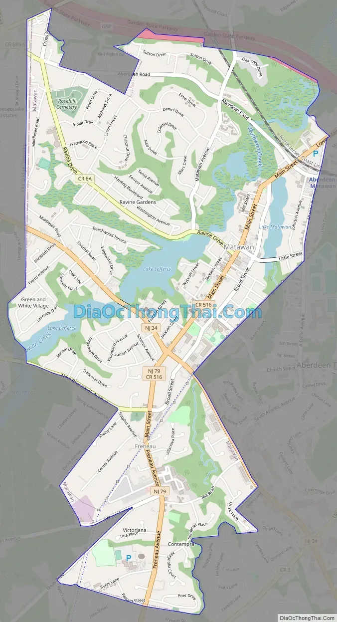
Matawan Road Map
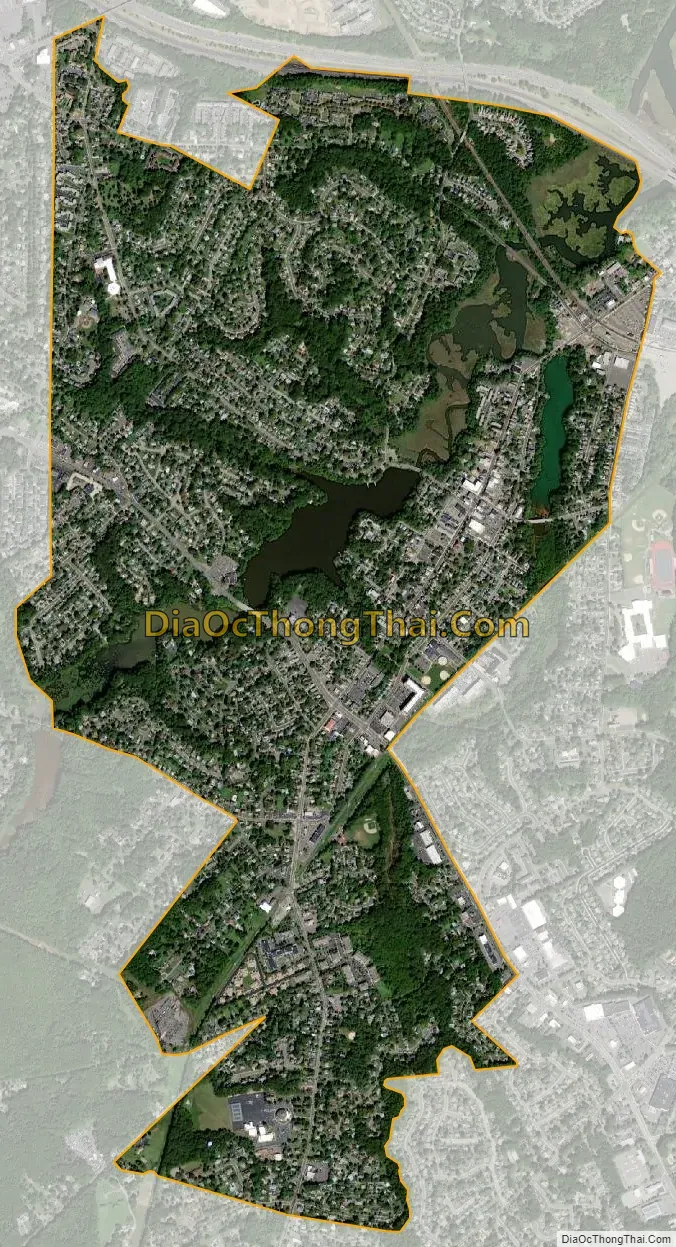
Matawan city Satellite Map
Geography
According to the U.S. Census Bureau, the borough had a total area of 2.41 square miles (6.24 km), including 2.27 square miles (5.87 km) of land and 0.14 square miles (0.37 km) of water (5.89%). The borough is at the northwest corner of Monmouth County and is the second-highest part of Monmouth County.
Unincorporated communities, localities and place names located partially or completely within the borough include Freneau and Oak Shades.
The borough borders Aberdeen Township and Marlboro Township in Monmouth County, as well as Old Bridge Township in Middlesex County. Matawan divides Aberdeen Township into two non-contiguous sections, with a small wedge-shaped exclave on the township’s southwest corner separated from the rest of the township by a portion of Matawan located on the opposite side of Route 79.
See also
Map of New Jersey State and its subdivision: Map of other states:- Alabama
- Alaska
- Arizona
- Arkansas
- California
- Colorado
- Connecticut
- Delaware
- District of Columbia
- Florida
- Georgia
- Hawaii
- Idaho
- Illinois
- Indiana
- Iowa
- Kansas
- Kentucky
- Louisiana
- Maine
- Maryland
- Massachusetts
- Michigan
- Minnesota
- Mississippi
- Missouri
- Montana
- Nebraska
- Nevada
- New Hampshire
- New Jersey
- New Mexico
- New York
- North Carolina
- North Dakota
- Ohio
- Oklahoma
- Oregon
- Pennsylvania
- Rhode Island
- South Carolina
- South Dakota
- Tennessee
- Texas
- Utah
- Vermont
- Virginia
- Washington
- West Virginia
- Wisconsin
- Wyoming


