Monmouth Beach is a borough in Monmouth County, in the U.S. state of New Jersey. As of the 2020 United States census, the borough’s population was 3,174, a decrease of 105 (−3.2%) from the 2010 census count of 3,279, which in turn reflected a decline of 316 (−8.8%) from the 3,595 counted in the 2000 census.
The area was first settled in 1668 and grew into a community with the arrival of the Long Branch and Sea Shore Railroad. Many early residents were professional fishermen with Norwegian backgrounds.
Monmouth Beach was incorporated as a borough on March 9, 1906, by an act of the New Jersey Legislature, when it was created from portions of Ocean Township.
In 2012, Forbes.com listed Monmouth Beach as 276th in its listing of “America’s Most Expensive ZIP Codes”, with a median home price of $937,020.
| Name: | Monmouth Beach borough |
|---|---|
| LSAD Code: | 21 |
| LSAD Description: | borough (suffix) |
| State: | New Jersey |
| County: | Monmouth County |
| Incorporated: | March 9, 1906 |
| Elevation: | 20 ft (6 m) |
| Total Area: | 2.07 sq mi (5.37 km²) |
| Land Area: | 1.04 sq mi (2.70 km²) |
| Water Area: | 1.03 sq mi (2.67 km²) 49.81% |
| Total Population: | 3,174 |
| Population Density: | 3,046.1/sq mi (1,176.1/km²) |
| ZIP code: | 07750 |
| Area code: | 732 |
| FIPS code: | 3447130 |
| GNISfeature ID: | 0885305 |
| Website: | www.monmouthbeach.us |
Online Interactive Map
Click on ![]() to view map in "full screen" mode.
to view map in "full screen" mode.
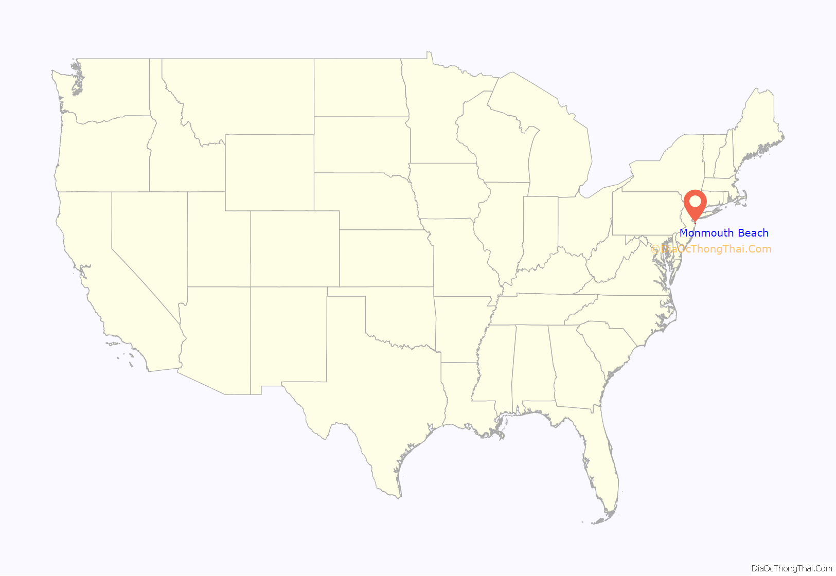
Monmouth Beach location map. Where is Monmouth Beach borough?

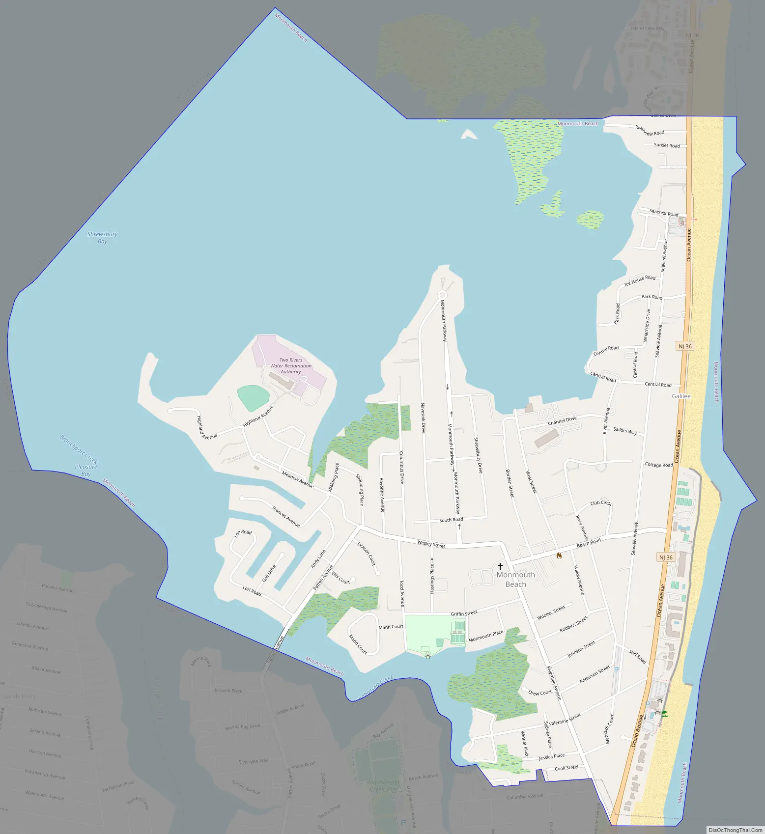
Monmouth Beach Road Map
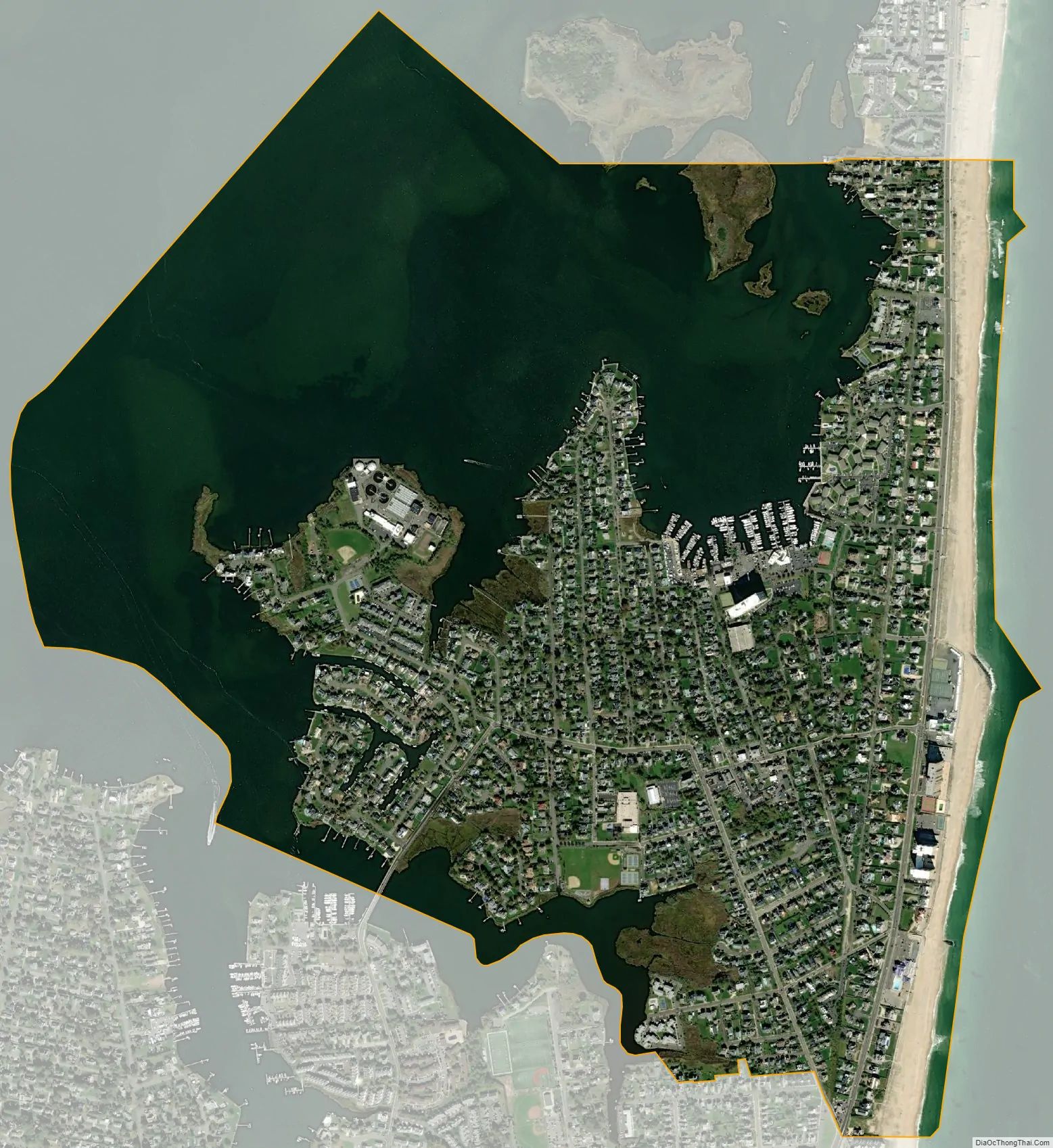
Monmouth Beach city Satellite Map
Geography
According to the United States Census Bureau, the borough had a total area of 2.07 square miles (5.37 km), including 1.04 square miles (2.70 km) of land and 1.03 square miles (2.67 km) of water (49.81%).
The borough is a small beach community located on the Jersey Shore, known for its Victorian houses and the new multimillion-dollar homes located throughout the neighborhood. It was recently affected by Hurricane Sandy, damaging multiple homes. Monmouth Beach is one square mile, with the ocean to the east and the Shrewsbury River to the northwest. In the Forbes magazine 2012 rankings of “America’s Most Expensive ZIP Codes”, the borough was ranked 276th, with a median price of $937,020.
Unincorporated communities, localities and place names located partially or completely within the township include Galilee. The Sea Bright–Monmouth Beach Seawall parallel to the ocean.
The borough is bordered by the Monmouth County communities of Little Silver, Long Branch, Oceanport, Rumson and Sea Bright.
Within Monmouth Beach are two beach clubs. These are Monmouth Beach Bathing Pavilion, known to locals as “Little Monmouth”, and Monmouth Beach Bath and Tennis Club, also known as “Big Monmouth”. These spacious beach clubs equipped with pool and beach access. They have lockers, activities, swim teams, and more. Many locals and area residents attend these beach clubs.
Monmouth Beach offers fishing, as well as surfable waves. The Shrewsbury River, which borders the borough, offers sailing, kayaking, and fishing. The great majority of the borough of Monmouth Beach is residential. Places to go within the area include the many restaurants, lounges, and bars in West End, and Pier Village in Long Branch. Other notable locations include Red Bank, and the numerous beaches all along the shore towns to the north and south such as Asbury Park.
See also
Map of New Jersey State and its subdivision: Map of other states:- Alabama
- Alaska
- Arizona
- Arkansas
- California
- Colorado
- Connecticut
- Delaware
- District of Columbia
- Florida
- Georgia
- Hawaii
- Idaho
- Illinois
- Indiana
- Iowa
- Kansas
- Kentucky
- Louisiana
- Maine
- Maryland
- Massachusetts
- Michigan
- Minnesota
- Mississippi
- Missouri
- Montana
- Nebraska
- Nevada
- New Hampshire
- New Jersey
- New Mexico
- New York
- North Carolina
- North Dakota
- Ohio
- Oklahoma
- Oregon
- Pennsylvania
- Rhode Island
- South Carolina
- South Dakota
- Tennessee
- Texas
- Utah
- Vermont
- Virginia
- Washington
- West Virginia
- Wisconsin
- Wyoming


