Oceanport is a borough situated in the Jersey Shore region, within Monmouth County, in the U.S. state of New Jersey. As of the 2020 United States census, the borough’s population was 6,150, an increase of 318 (+5.5%) from the 2010 census count of 5,832, which in turn reflected an increase of 25 (+0.4%) from the 5,807 counted at the 2000 census.
Oceanport was formed as a borough by an act of the New Jersey Legislature on April 6, 1920, from portions of Eatontown Township (now Eatontown), based on the results of a referendum held on May 11, 1920.
New Jersey Monthly magazine ranked Oceanport as its 4th best place to live in its 2008 rankings of the “Best Places To Live” in New Jersey.
| Name: | Oceanport borough |
|---|---|
| LSAD Code: | 21 |
| LSAD Description: | borough (suffix) |
| State: | New Jersey |
| County: | Monmouth County |
| Incorporated: | May 11, 1920 |
| Elevation: | 20 ft (6 m) |
| Total Area: | 3.79 sq mi (9.83 km²) |
| Land Area: | 3.17 sq mi (8.22 km²) |
| Water Area: | 0.62 sq mi (1.61 km²) 16.39% |
| Total Population: | 6,150 |
| Population Density: | 1,938.8/sq mi (748.6/km²) |
| ZIP code: | 07757 |
| Area code: | area codes 732 and 848 |
| FIPS code: | 3454570 |
| GNISfeature ID: | 0885334 |
| Website: | www.oceanportboro.com |
Online Interactive Map
Click on ![]() to view map in "full screen" mode.
to view map in "full screen" mode.
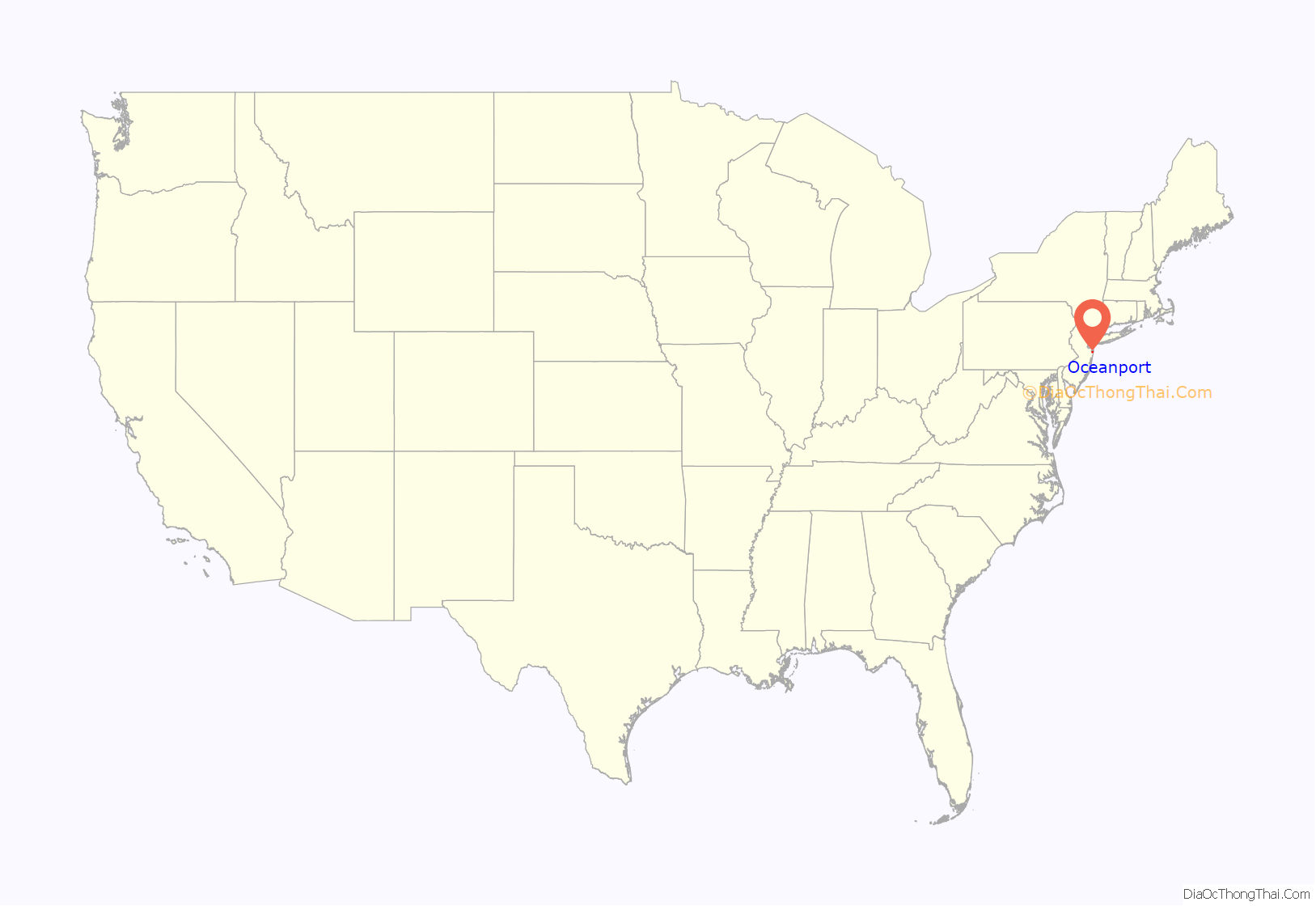
Oceanport location map. Where is Oceanport borough?
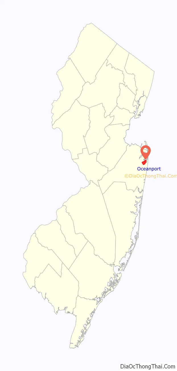
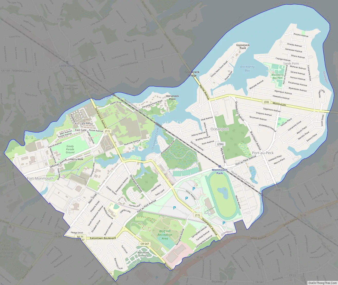
Oceanport Road Map
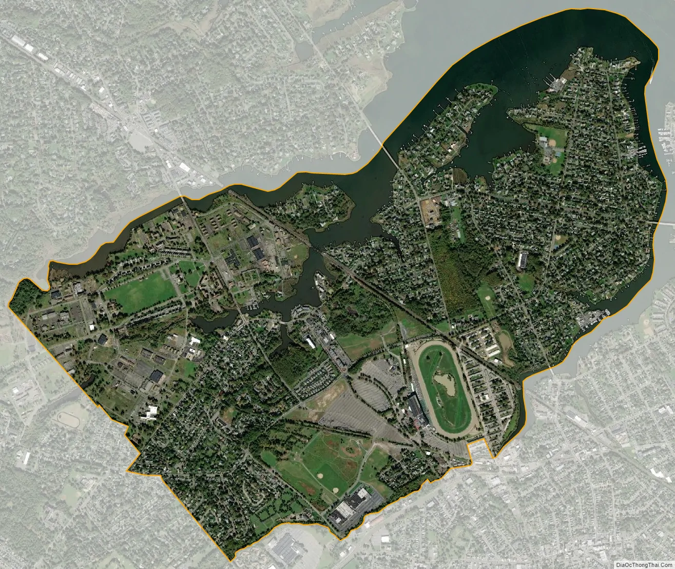
Oceanport city Satellite Map
Geography
According to the United States Census Bureau, borough had a total area of 3.80 square miles (9.83 km), including 3.17 square miles (8.22 km) of land and 0.62 square miles (1.61 km) of water (16.39%).
The borough borders the Monmouth County municipalities of Little Silver and Shrewsbury to the northwest, Long Branch to the east, Eatontown to the southwest and West Long Branch to the southeast. It shares water borders to the northeast with Monmouth Beach and Rumson and forms a peninsula, jutting into the Shrewsbury River.
Unincorporated communities, localities and place names within the borough include Elkwood Park, Fort Monmouth, Gooseneck Point, Port-au-peck and Sands Point.
See also
Map of New Jersey State and its subdivision: Map of other states:- Alabama
- Alaska
- Arizona
- Arkansas
- California
- Colorado
- Connecticut
- Delaware
- District of Columbia
- Florida
- Georgia
- Hawaii
- Idaho
- Illinois
- Indiana
- Iowa
- Kansas
- Kentucky
- Louisiana
- Maine
- Maryland
- Massachusetts
- Michigan
- Minnesota
- Mississippi
- Missouri
- Montana
- Nebraska
- Nevada
- New Hampshire
- New Jersey
- New Mexico
- New York
- North Carolina
- North Dakota
- Ohio
- Oklahoma
- Oregon
- Pennsylvania
- Rhode Island
- South Carolina
- South Dakota
- Tennessee
- Texas
- Utah
- Vermont
- Virginia
- Washington
- West Virginia
- Wisconsin
- Wyoming


