Spring Lake is a borough situated on the Jersey Shore in Monmouth County, in the U.S. state of New Jersey. As of the 2020 United States census, the borough’s population was 2,789, a decrease of 204 (−6.8%) from the 2010 census count of 2,993, which in turn reflected reflected a decline of 574 (−16.1%) from the 3,567 counted at the 2000 census.
New Jersey Monthly magazine ranked Spring Lake as the 240th best place to live in New Jersey in its 2010 rankings of the “Best Places To Live” in New Jersey.
In 2012, Forbes.com listed Spring Lake as 187th in its listing of “America’s Most Expensive ZIP Codes”, with a median home price of $1,190,586.
| Name: | Spring Lake borough |
|---|---|
| LSAD Code: | 21 |
| LSAD Description: | borough (suffix) |
| State: | New Jersey |
| County: | Monmouth County |
| Incorporated: | March 14, 1892 |
| Elevation: | 16 ft (5 m) |
| Total Area: | 1.75 sq mi (4.52 km²) |
| Land Area: | 1.33 sq mi (3.45 km²) |
| Water Area: | 0.41 sq mi (1.07 km²) 23.60% |
| Total Population: | 2,789 |
| Population Density: | 2,093.1/sq mi (808.2/km²) |
| ZIP code: | 07762 |
| Area code: | 732 exchanges: 282, 449, 974 |
| FIPS code: | 3470110 |
| GNISfeature ID: | 0885406 |
| Website: | www.springlakeboro.org |
Online Interactive Map
Click on ![]() to view map in "full screen" mode.
to view map in "full screen" mode.
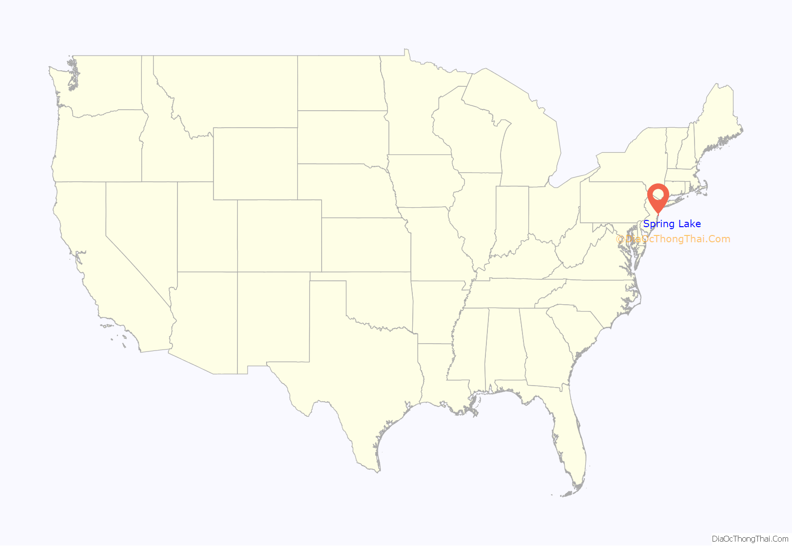
Spring Lake location map. Where is Spring Lake borough?
History
Spring Lake was formed as a borough by an act of the New Jersey Legislature on March 14, 1892, from portions of Wall Township, based on the results of a referendum held on March 8, 1892. On February 24, 1903, the borough of North Spring Lake was annexed to Spring Lake. The borough was named for a clear spring-fed lake.
During the “Gilded Age” of the late 19th and early 20th centuries, Spring Lake developed into a coastal resort for members of New York City and Philadelphia high society, in similar fashion to the settlements of Newport, Rhode Island, and Bar Harbor, Maine. A surviving example of architecture constructed during this era is the Martin Maloney Cottage on Morris Avenue next to the tycoon’s former and no longer existent Ballingarry Estate. Another fine example of period architecture listed on the National Register of Historic Places is the Audenried Cottage on Tuttle Avenue.
The owner of the Ballingarry Estate, Marquis Martin Maloney, built St. Catharine Roman Catholic Church on a knoll overlooking the eponymous Spring Lake. The cornerstone of the church was laid on St. Patrick’s Day in 1901.
The second of the five victims of the Jersey Shore shark attacks of 1916, Charles Bruder, 27, a Swiss bellhop for the Essex and Sussex Hotel, was killed on July 6, 1916, while swimming approximately 130 yards (120 m) from shore in Spring Lake. The wave of attacks took place between July 1 and July 12, 1916, along 80 miles (130 km) of Atlantic Ocean coastline and is often attributed as having inspired the novel Jaws by Peter Benchley and the corresponding film by Steven Spielberg, though Benchley has explicitly denied the claim.
The borough and its environs are known as the “Irish Riviera” because of the large Irish-American population in the area, with Spring Lake having the highest percentage of any municipality in the United States.
The Spring Lake 5 Mile Run, a race that was first run in 1977, circles the borough, beginning and ending at the beachfront. The 2014 race had 10,360 finishers, out of 12,500 registered; it is the country’s largest 5-mile race. In 2015, the race was listed as one of the top 100 races in America by Runner’s World magazine.
Spring Lake Road Map
Spring Lake city Satellite Map
Geography
According to the United States Census Bureau, the borough had a total area of 1.75 square miles (4.52 km), including 1.33 square miles (3.45 km) of land and 0.41 square miles (1.07 km) of water (23.60%).
Wreck Pond is a tidal pond located on the coast of the Atlantic Ocean, surrounded by Wall Township and the boroughs of Spring Lake, Spring Lake Heights, and Sea Girt, covering an area of 28 acres (11 ha). The Wreck Pond watershed covers about 12 square miles (31 km) in eastern Monmouth County.
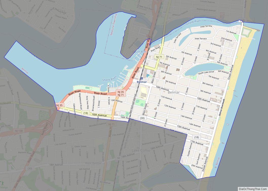
The borough borders the Monmouth County municipalities of Belmar, Lake Como, Sea Girt, Spring Lake Heights and Wall Township.
North Spring Lake was an independent borough established in 1884 which comprised the northern portion of Spring Lake. The borough was disestablished and its territory was annexed by Spring Lake in 1903.
See also
Map of New Jersey State and its subdivision: Map of other states:- Alabama
- Alaska
- Arizona
- Arkansas
- California
- Colorado
- Connecticut
- Delaware
- District of Columbia
- Florida
- Georgia
- Hawaii
- Idaho
- Illinois
- Indiana
- Iowa
- Kansas
- Kentucky
- Louisiana
- Maine
- Maryland
- Massachusetts
- Michigan
- Minnesota
- Mississippi
- Missouri
- Montana
- Nebraska
- Nevada
- New Hampshire
- New Jersey
- New Mexico
- New York
- North Carolina
- North Dakota
- Ohio
- Oklahoma
- Oregon
- Pennsylvania
- Rhode Island
- South Carolina
- South Dakota
- Tennessee
- Texas
- Utah
- Vermont
- Virginia
- Washington
- West Virginia
- Wisconsin
- Wyoming
