West Freehold is an unincorporated community and census-designated place (CDP) within Freehold Township, in Monmouth County, New Jersey, United States. As of the 2010 United States Census, the CDP’s population was 13,613. Due to the community’s close proximity to the Battle of Monmouth, West Freehold is home to several important historical structures, which have been preserved in the ‘West Freehold Village Historic District’. The historically preserved Monmouth Battlefield, along with the historic villages of Clarksburg, Englishtown, Smithburg and Tennent are a short distance away.
| Name: | West Freehold CDP |
|---|---|
| LSAD Code: | 57 |
| LSAD Description: | CDP (suffix) |
| State: | New Jersey |
| County: | Monmouth County |
| Elevation: | 141 ft (43 m) |
| Total Area: | 5.93 sq mi (15.35 km²) |
| Land Area: | 5.91 sq mi (15.31 km²) |
| Water Area: | 0.01 sq mi (0.04 km²) 0.24% |
| Total Population: | 13,596 |
| Population Density: | 2,299.34/sq mi (887.76/km²) |
| Area code: | 732/848 |
| FIPS code: | 3479100 |
| GNISfeature ID: | 02390471 |
Online Interactive Map
Click on ![]() to view map in "full screen" mode.
to view map in "full screen" mode.
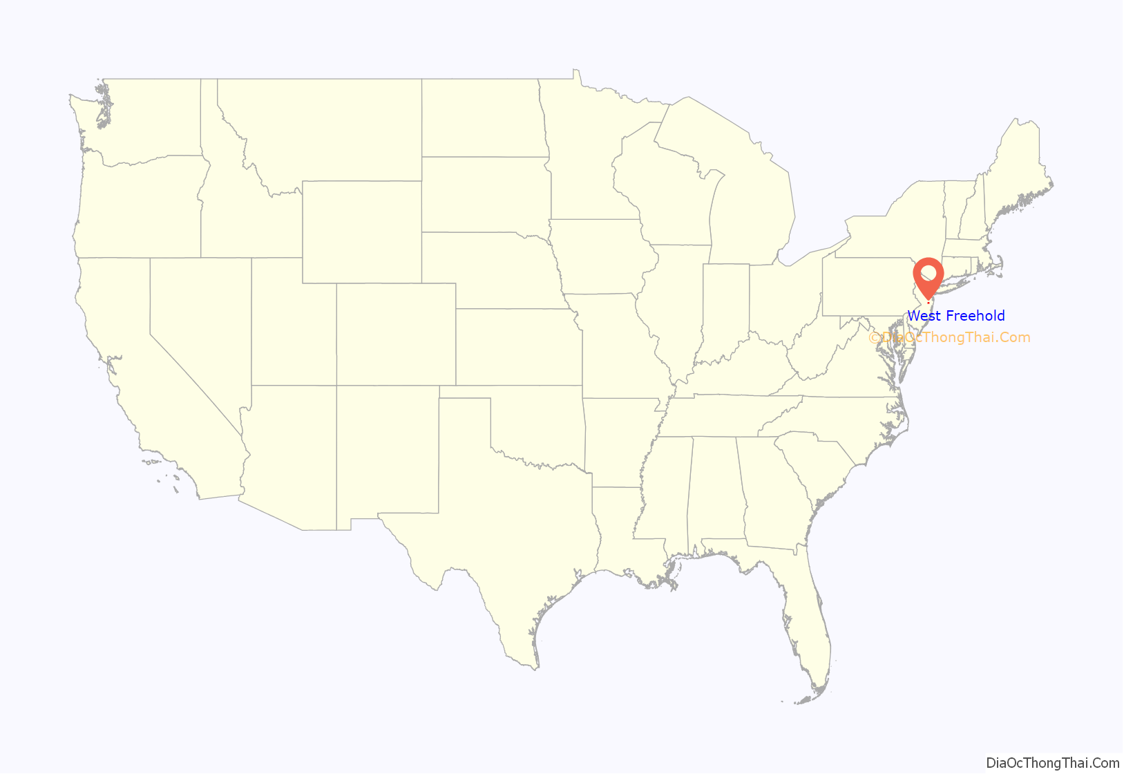
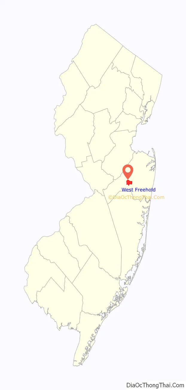
West Freehold location map. Where is West Freehold CDP?
History
The State of New Jersey became a colony of England on June 24, 1664, after the Duke of York granted a patent to Sir George Carteret and Lord John Berkely for what is now New Jersey.
West Freehold (also historically known as ‘Mount’s Corner’) was settled as early as the late seventeenth century by primarily of English and Scottish Presbyterians, Baptists, and Quakers escaping religious persecution from Scotland and nearby New England. A major transportation artery that was located in West Freehold was “The Burlington Path”, a stagecoach route meant to connect Burlington, which was at the time the Capital of West Jersey, and Perth Amboy, which was at the time the Capital of East Jersey. Much of modern day Monmouth Road/West Main Street (County Route 537) coincides in general direction and trajectory with this historic stagecoach route. Many colonial era structures are still standing in the ‘West Freehold Village Historic District’, near the intersection of West Main Street and Stillwells Corner Road/Wemrock Road.
Mount’s Tavern
Today known as Moore’s Tavern & Restaurant, this tavern is one of the most famous historical structures in the Township. As a stagecoach stop for “the Burlington Path”, there is documentation of the tavern’s license being renewed from 1787, suggesting that the tavern was in use prior to that. Moses Mount, a Private during the Revolutionary War and aide to George Washington, was the inn’s first keeper.
The Levi Solomon Farmstead
The township in its early days was a place of refuge for persecuted religious groups, such as Presbyterians, Baptists, and Quakers. The Solomon family were some of New Jersey’s earliest Jewish settlers. They settled on a large piece of farmland, roughly where much of the modern day shopping center ‘Mount’s Corner’ is located, as early as 1720. During the Battle of Monmouth, their dwelling had suffered significant damage from invading British troops. Luckily, matriarch Hannah Solomon, who was widowed, and her two sons were able to save their house after it was set on fire. The original barn that was built on the farm in the 1800s is now the location of the Monmouth County Jewish Heritage Museum; “dedicated to the promotion of public awareness of the county’s Jewish heritage for the education and enjoyment of both children and adults.”
West Freehold Schoolhouse
Located at what is now Wemrock Road, adjacent to West Main Street, this schoolhouse was built in 1848 and educated the children that lived within the community until 1937. The property was part of the Rulif R. Schanck Farmstead, which is now the Elizabeth Oakley Farm (Museum).
Walker, Combs, Hartshorne, Oakley Farmstead
Operated for centuries, this property is the earliest remaining farmstead in Freehold and is one of the oldest preserved structures in Monmouth County. Settled in 1686, the property was situated on 110 acres (45 ha) of land, owned by East Jersey proprietors John Barclay, Robert Barclay, John Reid and John Bowne. Since then, the farmstead had been transferred/sold by multiple families including; Barclay, Reid, Bowne, Clark, Walker, Combs, Schanck, Hartshorne, and Oakley.
By 1981, the farmstead was the largest operating farm in Monmouth County. At that time, Elizabeth Oakley was the last to inhabit inside the structure and was fascinated in the home’s rich history. She worked hard to preserve it, having accomplished her life’s goal in having the farm be placed in the National Register of Historic Places in 1990.
Toll House
The Toll House located on the property of the Walker, Combs, Hartshorne, Oakley Farmstead is one of only two remaining toll houses in New Jersey. Built in ca. 1850, it was owned and operated by a group of farmers living along “the Burlington Path”. The toll separated two sides of the two-lane stagecoach route; the side of the tollroad heading southwest towards Smithburg was known as the ‘Freehold-Smithburg Turnpike’ and the other side of the tollroad heading northeast towards ‘Elk’s Point’ (what is now Freehold Borough).
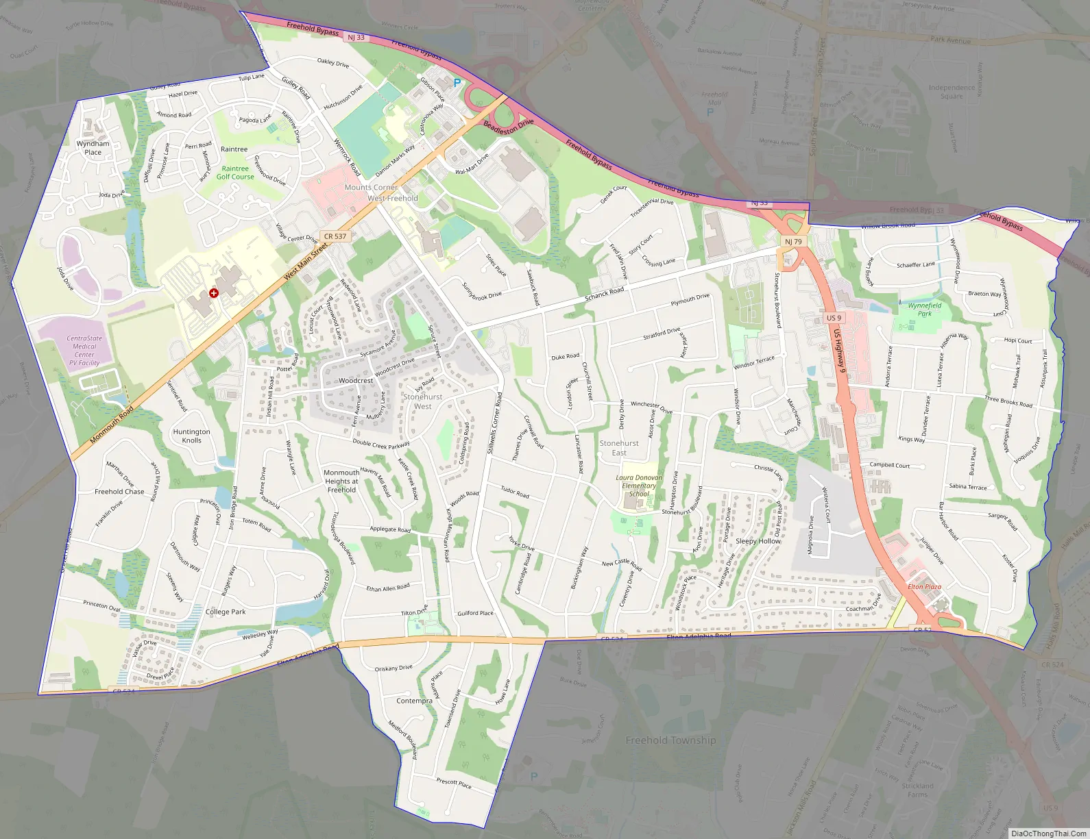
West Freehold Road Map
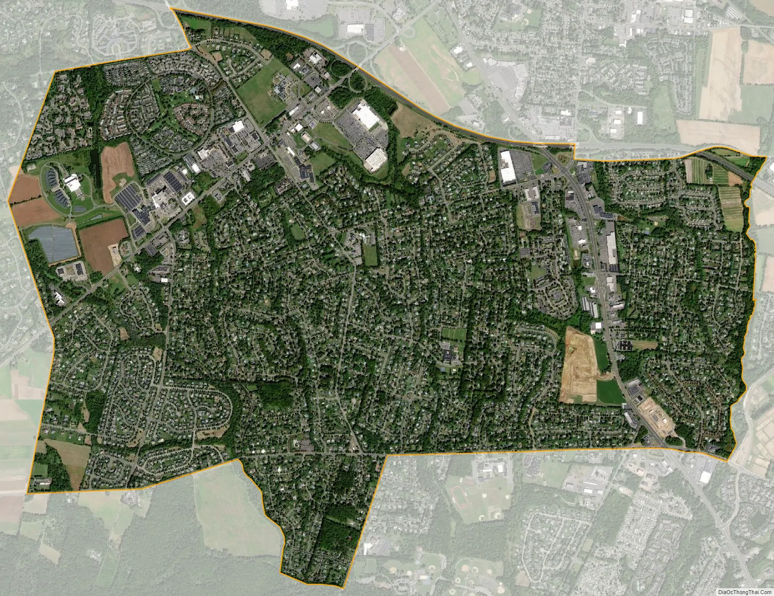
West Freehold city Satellite Map
Geography
According to the United States Census Bureau, the CDP had a total area of 5.927 square miles (15.350 km), including 5.913 square miles (15.314 km) of land and 0.014 square miles (0.036 km) of water (0.24%).
See also
Map of New Jersey State and its subdivision: Map of other states:- Alabama
- Alaska
- Arizona
- Arkansas
- California
- Colorado
- Connecticut
- Delaware
- District of Columbia
- Florida
- Georgia
- Hawaii
- Idaho
- Illinois
- Indiana
- Iowa
- Kansas
- Kentucky
- Louisiana
- Maine
- Maryland
- Massachusetts
- Michigan
- Minnesota
- Mississippi
- Missouri
- Montana
- Nebraska
- Nevada
- New Hampshire
- New Jersey
- New Mexico
- New York
- North Carolina
- North Dakota
- Ohio
- Oklahoma
- Oregon
- Pennsylvania
- Rhode Island
- South Carolina
- South Dakota
- Tennessee
- Texas
- Utah
- Vermont
- Virginia
- Washington
- West Virginia
- Wisconsin
- Wyoming


