West Long Branch is a borough situated within the Jersey Shore region, within Monmouth County, in the U.S. state of New Jersey. As of the 2020 United States census, the borough’s population was 8,587, its highest decennial count ever and an increase of 490 (+6.1%) from the 2010 census count of 8,097, which in turn reflected reflected a decline of 161 (−1.9%) from the 8,258 counted at the 2000 census. West Long Branch is the home of Monmouth University.
| Name: | West Long Branch borough |
|---|---|
| LSAD Code: | 21 |
| LSAD Description: | borough (suffix) |
| State: | New Jersey |
| County: | Monmouth County |
| Incorporated: | May 5, 1908 |
| Elevation: | 26 ft (8 m) |
| Total Area: | 2.89 sq mi (7.49 km²) |
| Land Area: | 2.86 sq mi (7.40 km²) |
| Water Area: | 0.04 sq mi (0.09 km²) 1.25% |
| Total Population: | 8,587 |
| Population Density: | 3,006.7/sq mi (1,160.9/km²) |
| ZIP code: | 07764 |
| Area code: | 732 and 908 (cell) |
| FIPS code: | 3479310 |
| GNISfeature ID: | 0885437 |
| Website: | www.westlongbranch.org |
Online Interactive Map
Click on ![]() to view map in "full screen" mode.
to view map in "full screen" mode.
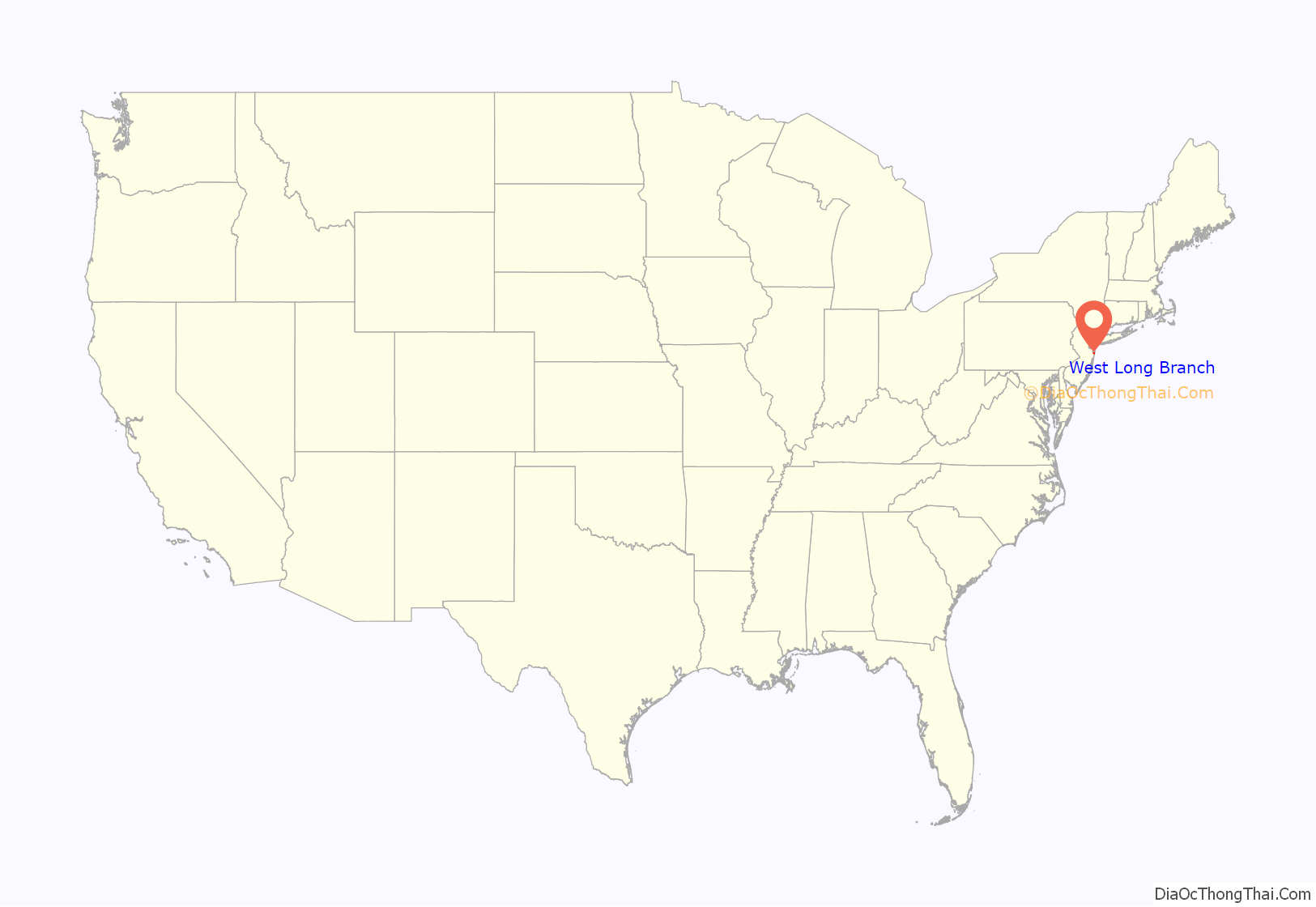
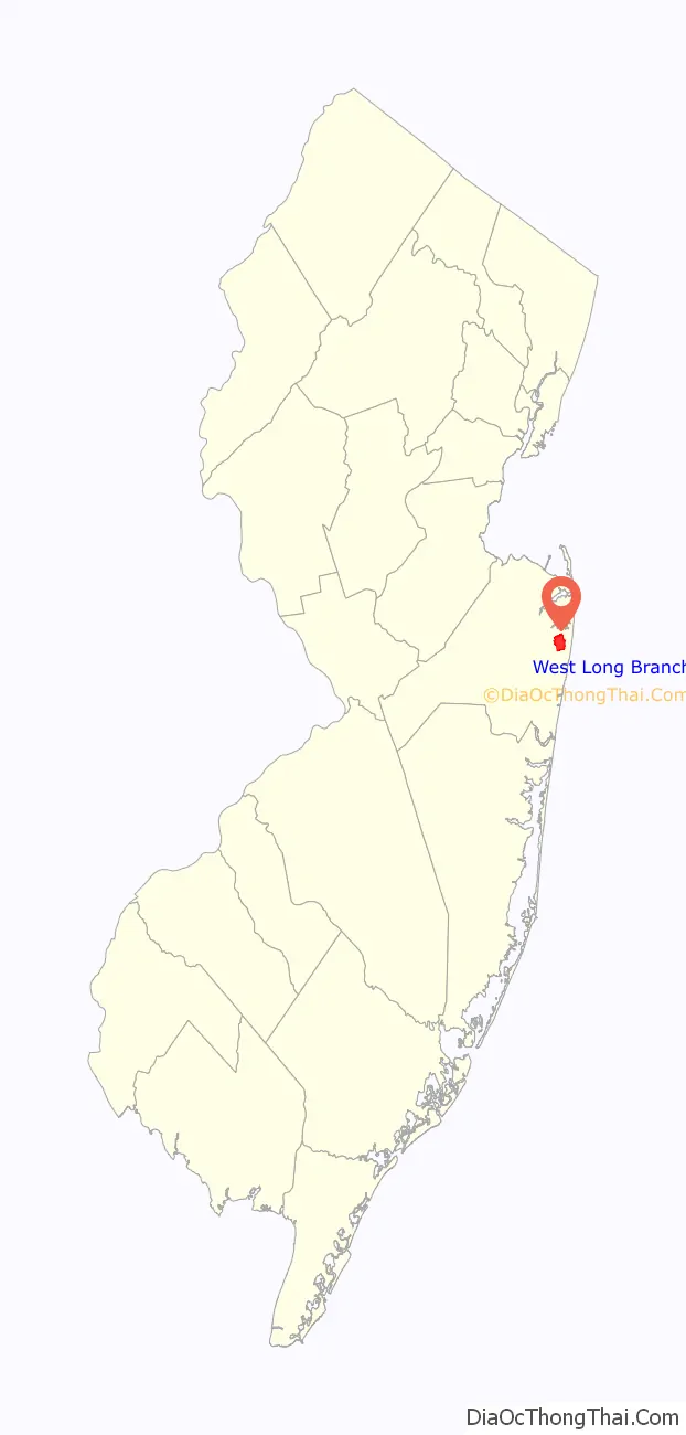
West Long Branch location map. Where is West Long Branch borough?
History
Prior to being called West Long Branch, the area had been called Mechanicsville from the 18th century through the Civil War, and then Branchburg in the 1870s. The name West Long Branch appears in the 1889 Wolverton Atlas of Monmouth County, and seems to have derived its name from its proximity to a section of the Shrewsbury River.
In 1908, the residents of what was the West Long Branch section of Eatontown thought that they were not getting a fair return on their taxes. A request was made that the West Long Branch section be separated from Eatontown. The Township of Eatontown strongly resisted as there were several large estates in the West Long Branch section that were a source of considerable tax revenues. An act of the New Jersey Legislature was passed on April 7, 1908, and the Monmouth County Board of Chosen Freeholders authorized an election. On May 5, 1908, a referendum was held in West Long Branch, with voters approving the separation. The borough takes its name from Long Branch, which in turn takes its name from the “long branch” or south branch of the Shrewsbury River.
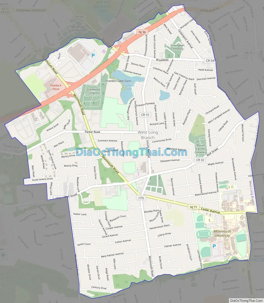
West Long Branch Road Map
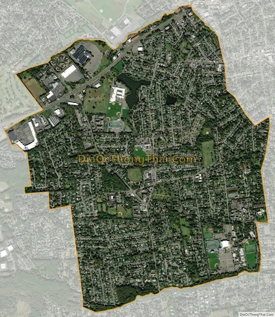
West Long Branch city Satellite Map
Geography
According to the United States Census Bureau, the borough had a total area of 2.89 square miles (7.49 km), including 2.86 square miles (7.40 km) of land and 0.04 square miles (0.09 km) of water (1.25%).
Unincorporated communities, localities and place names located partially or completely within the borough include Norwood Park.
The borough borders the Monmouth County municipalities of Eatontown, Long Branch, Ocean Township and Oceanport.
See also
Map of New Jersey State and its subdivision: Map of other states:- Alabama
- Alaska
- Arizona
- Arkansas
- California
- Colorado
- Connecticut
- Delaware
- District of Columbia
- Florida
- Georgia
- Hawaii
- Idaho
- Illinois
- Indiana
- Iowa
- Kansas
- Kentucky
- Louisiana
- Maine
- Maryland
- Massachusetts
- Michigan
- Minnesota
- Mississippi
- Missouri
- Montana
- Nebraska
- Nevada
- New Hampshire
- New Jersey
- New Mexico
- New York
- North Carolina
- North Dakota
- Ohio
- Oklahoma
- Oregon
- Pennsylvania
- Rhode Island
- South Carolina
- South Dakota
- Tennessee
- Texas
- Utah
- Vermont
- Virginia
- Washington
- West Virginia
- Wisconsin
- Wyoming


