Nevada City (originally, Ustumah, a Nisenan village; later, Nevada, Deer Creek Dry Diggins, and Caldwell’s Upper Store) is the county seat of Nevada County, California, United States, 60 miles (97 km) northeast of Sacramento, 84 miles (135 km) southwest of Reno and 147 miles (237 km) northeast of San Francisco. The population was 3,068 as of the 2010 Census.
| Name: | Nevada City city |
|---|---|
| LSAD Code: | 25 |
| LSAD Description: | city (suffix) |
| State: | California |
| County: | Nevada County |
| Incorporated: | April 19, 1856 |
| Elevation: | 2,477 ft (755 m) |
| Total Area: | 2.19 sq mi (5.67 km²) |
| Land Area: | 2.19 sq mi (5.66 km²) |
| Water Area: | 0.00 sq mi (0.01 km²) 0.17% |
| Total Population: | 3,068 |
| Population Density: | 1,440.07/sq mi (556.03/km²) |
| ZIP code: | 95959 |
| Area code: | 530 |
| FIPS code: | 0650874 |
| Website: | www.nevadacityca.gov |
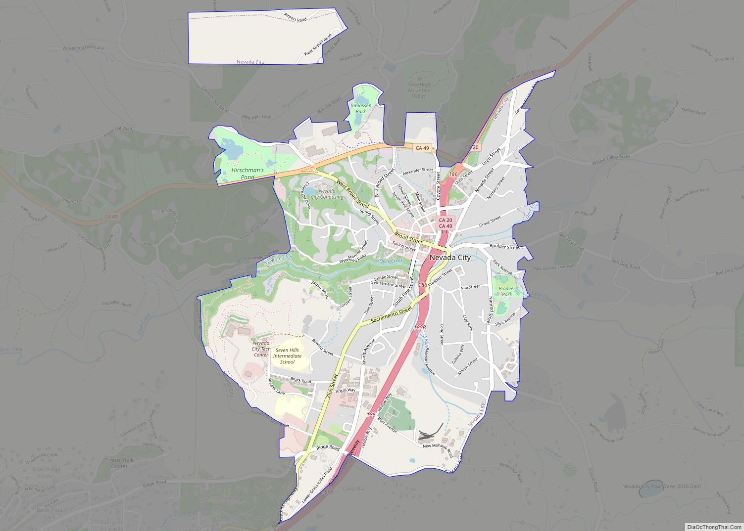
Online Interactive Map
Click on ![]() to view map in "full screen" mode.
to view map in "full screen" mode.
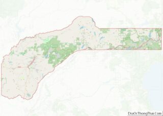
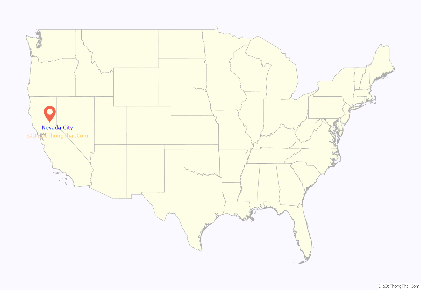
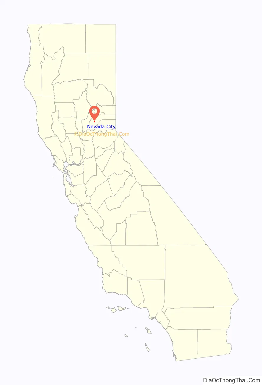
Nevada City location map. Where is Nevada City city?
History
European-Americans first settled Nevada City in 1849, during the California Gold Rush, as Nevada (Spanish for “snow-covered”, a reference to the snow-topped mountains in the area). The Gold Tunnel on the north side of Deer Creek was the city’s first mine, built in 1850. The first sawmill in Nevada City was built on Deer Creek, just above town, in August 1850, by Lewis & Son, with a water wheel. In 1850–51, Nevada City was the state’s most important mining town, and Nevada County the state’s leading gold-mining county. In 1851, The Nevada Journal became the first newspaper published in the town and county. The first cemetery in town, the Pioneer Cemetery, was founded around 1851 behind the Nevada City United Methodist Church, Nevada County’s first denominational church.
The town of Nevada was incorporated on April 19, 1856. In 1864, the word “City” was added to its name to relieve confusion with the nearby state of Nevada, and the town has legally been known as Nevada City ever since. The former town of Coyoteville later became Nevada City’s northwestern section.
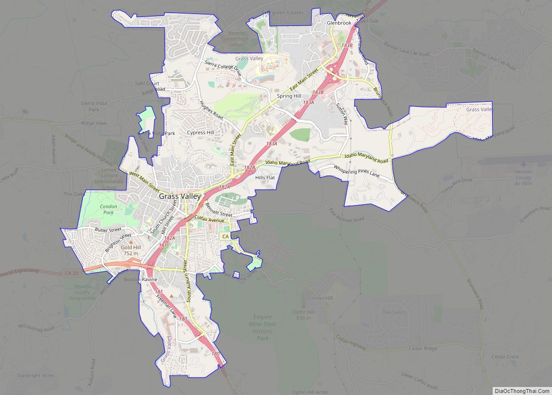
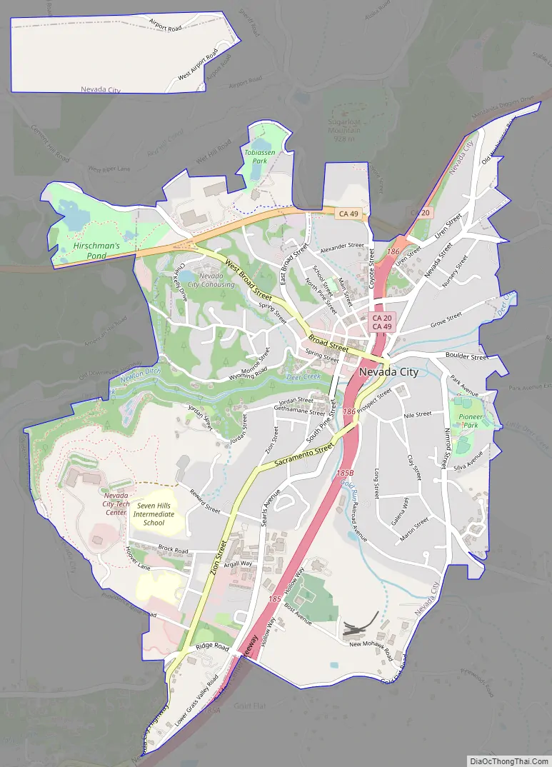
Nevada City Road Map
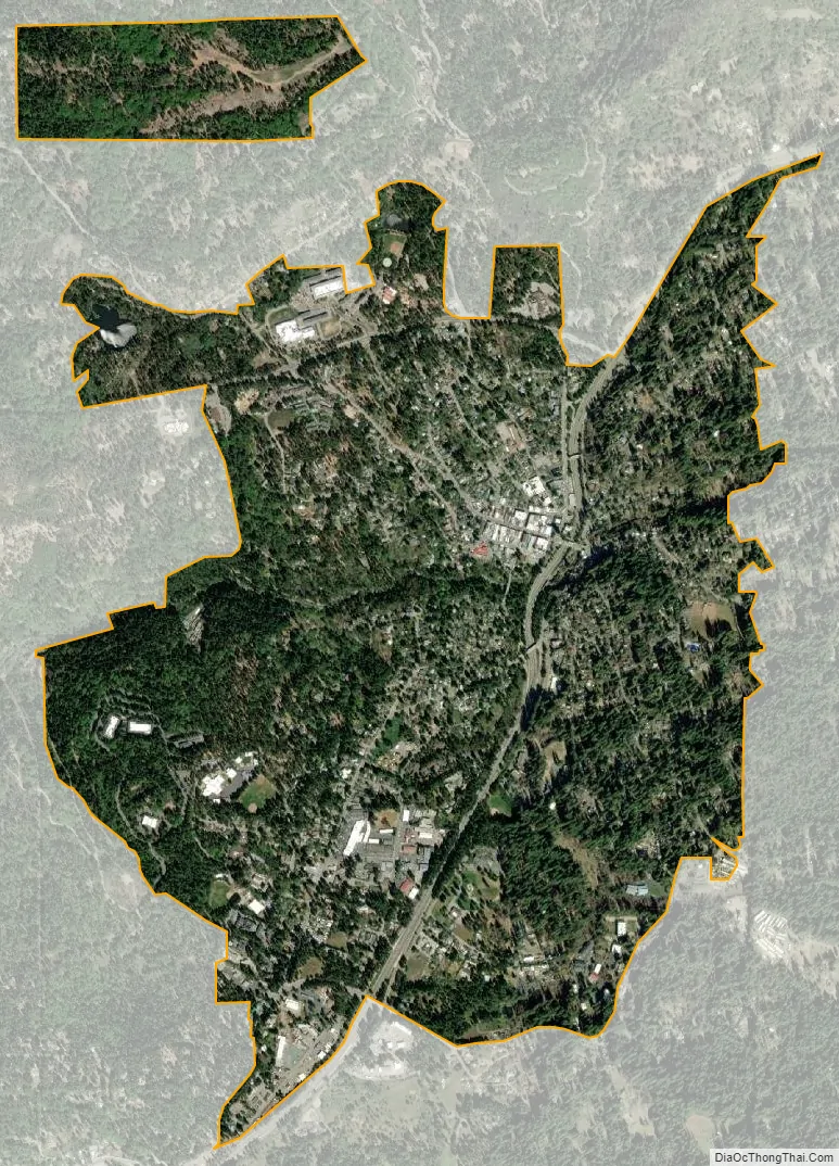
Nevada City city Satellite Map
Geography
Nevada City is located at 39°15′41″N 121°01′07″W / 39.261435°N 121.018602°W / 39.261435; -121.018602 at 2,500 feet above sea level.
According to the United States Census Bureau, the city has an area of 2.2 square miles (5.7 km), 99.83% of it land and 0.17% water.
Nevada, Missouri, is named after Nevada City.
Most of Nevada City lies on brown sandy loam soils of the Hoda series which developed on granitic rock.
See also
Map of California State and its subdivision:- Alameda
- Alpine
- Amador
- Butte
- Calaveras
- Colusa
- Contra Costa
- Del Norte
- El Dorado
- Fresno
- Glenn
- Humboldt
- Imperial
- Inyo
- Kern
- Kings
- Lake
- Lassen
- Los Angeles
- Madera
- Marin
- Mariposa
- Mendocino
- Merced
- Modoc
- Mono
- Monterey
- Napa
- Nevada
- Orange
- Placer
- Plumas
- Riverside
- Sacramento
- San Benito
- San Bernardino
- San Diego
- San Francisco
- San Joaquin
- San Luis Obispo
- San Mateo
- Santa Barbara
- Santa Clara
- Santa Cruz
- Shasta
- Sierra
- Siskiyou
- Solano
- Sonoma
- Stanislaus
- Sutter
- Tehama
- Trinity
- Tulare
- Tuolumne
- Ventura
- Yolo
- Yuba
- Alabama
- Alaska
- Arizona
- Arkansas
- California
- Colorado
- Connecticut
- Delaware
- District of Columbia
- Florida
- Georgia
- Hawaii
- Idaho
- Illinois
- Indiana
- Iowa
- Kansas
- Kentucky
- Louisiana
- Maine
- Maryland
- Massachusetts
- Michigan
- Minnesota
- Mississippi
- Missouri
- Montana
- Nebraska
- Nevada
- New Hampshire
- New Jersey
- New Mexico
- New York
- North Carolina
- North Dakota
- Ohio
- Oklahoma
- Oregon
- Pennsylvania
- Rhode Island
- South Carolina
- South Dakota
- Tennessee
- Texas
- Utah
- Vermont
- Virginia
- Washington
- West Virginia
- Wisconsin
- Wyoming