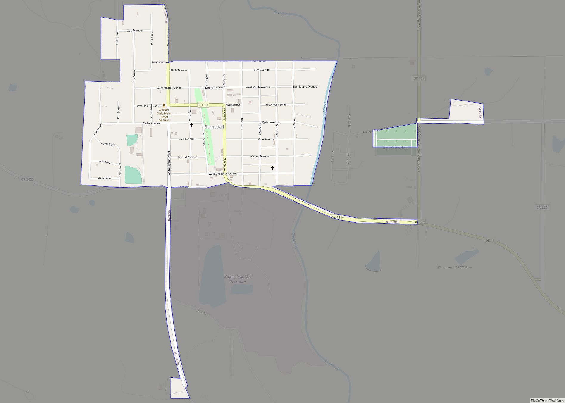
Barnsdall is a city in Osage County, Oklahoma, United States. The population was 1,034 at the 2020 census, a decline of 21.9 percent from the figure of 1,325 recorded in 2000.
| Name: | Barnsdall city |
|---|---|
| LSAD Code: | 25 |
| LSAD Description: | city (suffix) |
| State: | Oklahoma |
| County: | Osage County |
| Elevation: | 742 ft (226 m) |
| Total Area: | 1.18 sq mi (3.06 km²) |
| Land Area: | 0.98 sq mi (2.55 km²) |
| Water Area: | 0.20 sq mi (0.51 km²) |
| Total Population: | 1,034 |
| Population Density: | 1,050.81/sq mi (405.84/km²) |
| ZIP code: | 74002 |
| FIPS code: | 4004250 |
| GNISfeature ID: | 1089868 |
| Website: | https://cityofbarnsdallok.org/ |
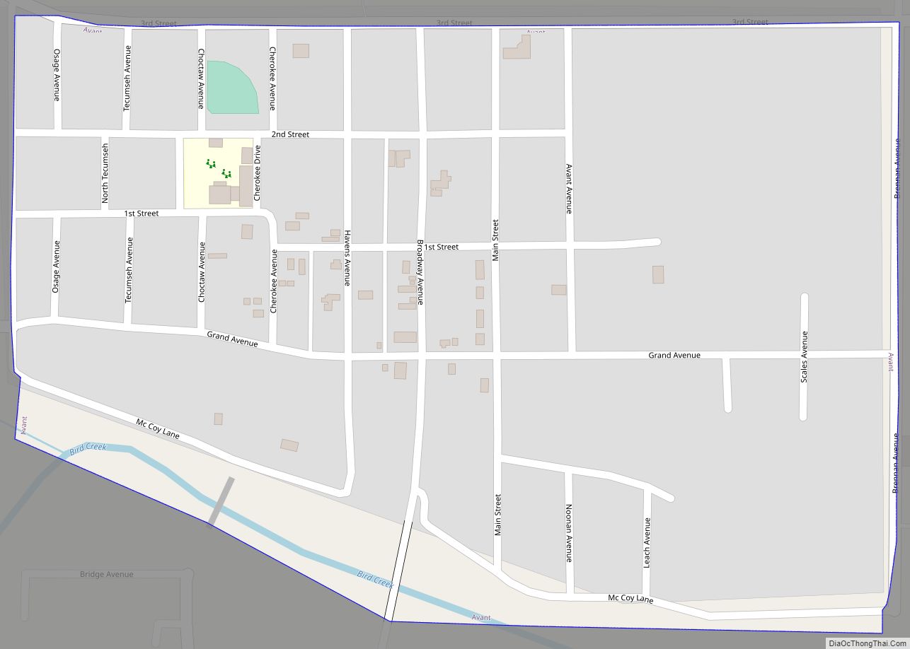
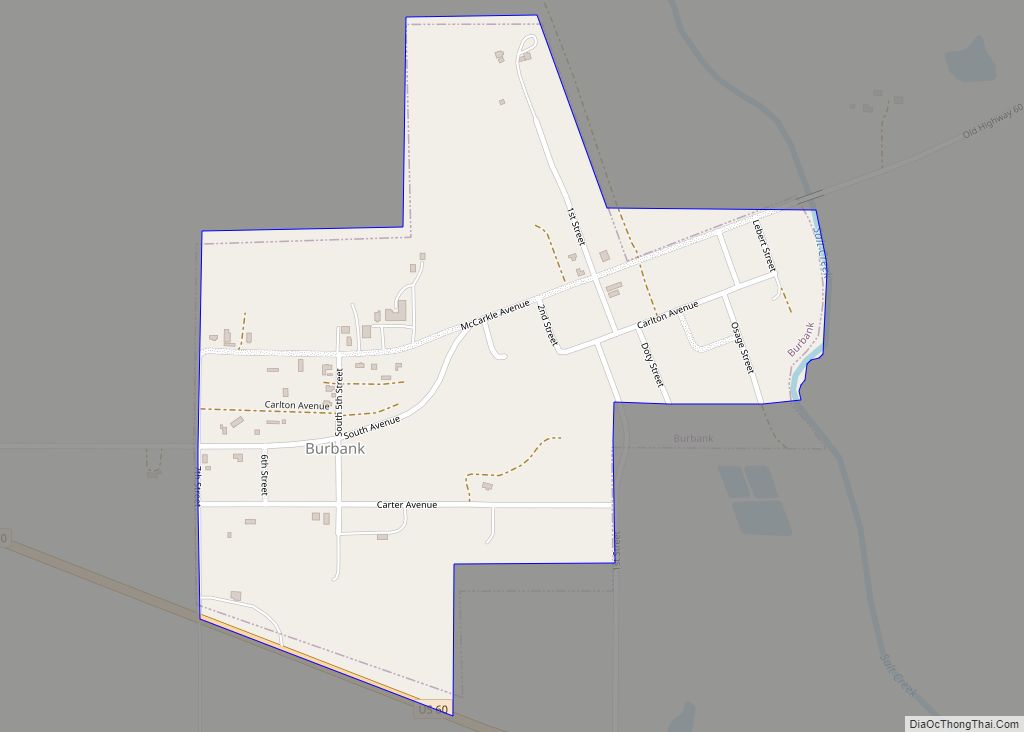
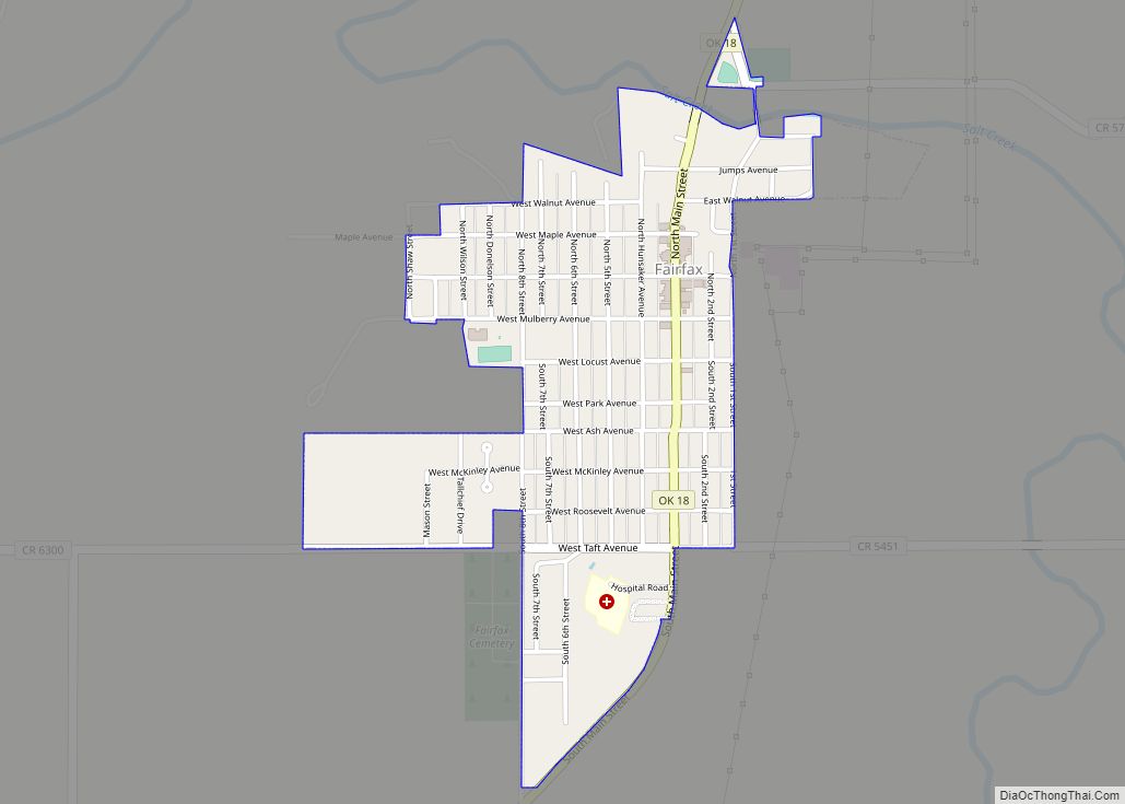
Online Interactive Map
Click on ![]() to view map in "full screen" mode.
to view map in "full screen" mode.
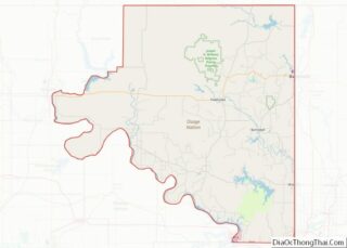
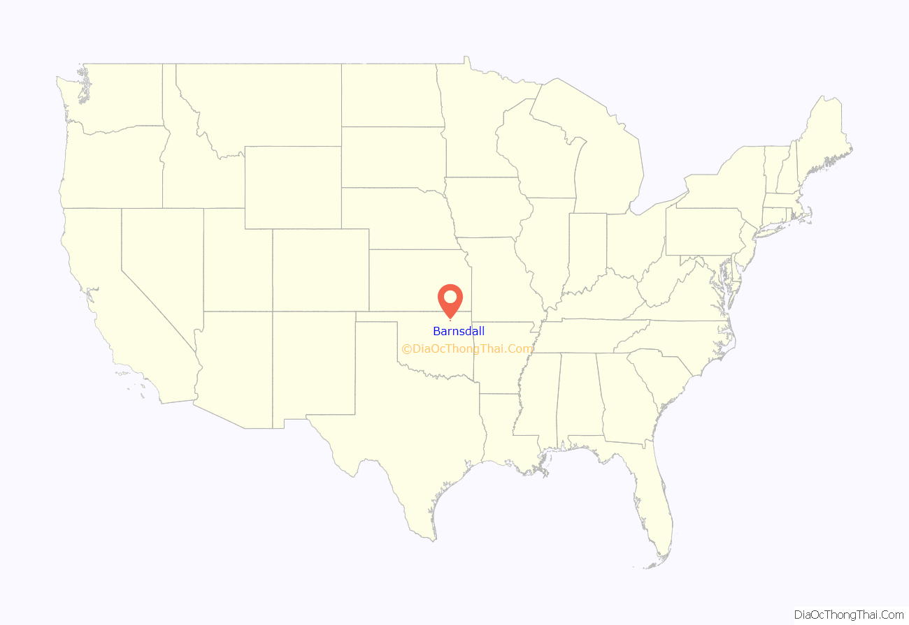
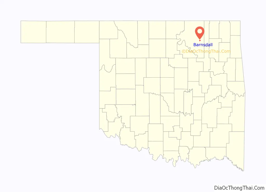
Barnsdall location map. Where is Barnsdall city?
History
The town was founded in 1905 and originally named Bigheart, for the Osage Chief James Bigheart. It was initially a 160-acre site along the Midland Valley Railroad in March 1905. The railroad opened Bigheart Station in September 1905 and the Bigheart Post Office opened in January 1906. The town was exempted from the Osage allotment, so lots could be sold to anyone. Lots were auctioned in May 1906. The first newspaper, the Bigheart Star, first appeared in 1906.
Joshua Cosden built the Southwest Refining Company oil refinery in 1910. He sold it to Stone and Webster of Boston, Massachusetts in 1917. The Barnsdall Oil Company had discovered the nearby Bigheart (later Barnsdall) oilfield in 1916. The Barnsdall Oil Company, bought the refinery in 1921. The town was renamed on January 1, 1922 in honor of Mr. Barnsdall.
The town of Barnsdall experienced a tornado in April 1911, a major fire in March 1913 and a flood in September 1915. Despite these calamities, the population increased from 307 in 1910 to 2,099 in 1920. That proved to be the high point of population in the town.
Barnsdall Refining Company renamed itself Bareco Oil Company in 1940. It ceased refining oil in 1946 and began producing microcrystalline waxes that year. Petrolite Corporation (now part of Baker Hughes Inc.) bought Bareco and has continued to operate the plant. Henry L. Doherty bought the holdings of Theodore N. Barnsdall, founder of Barnsdall Oil Company, in 1912.
The Midland Valley trackage both north and south of Barnsdall has since been abandoned, the southern portion in 2000. At least some of the route south of Barnsdall has been converted into a rail trail.
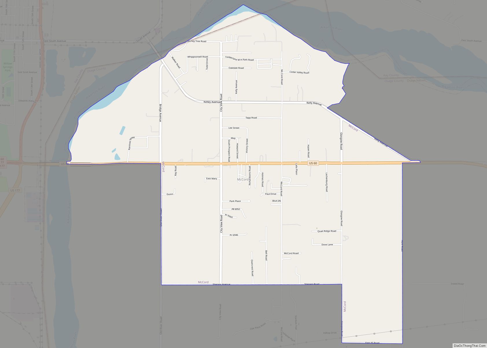
Barnsdall Road Map
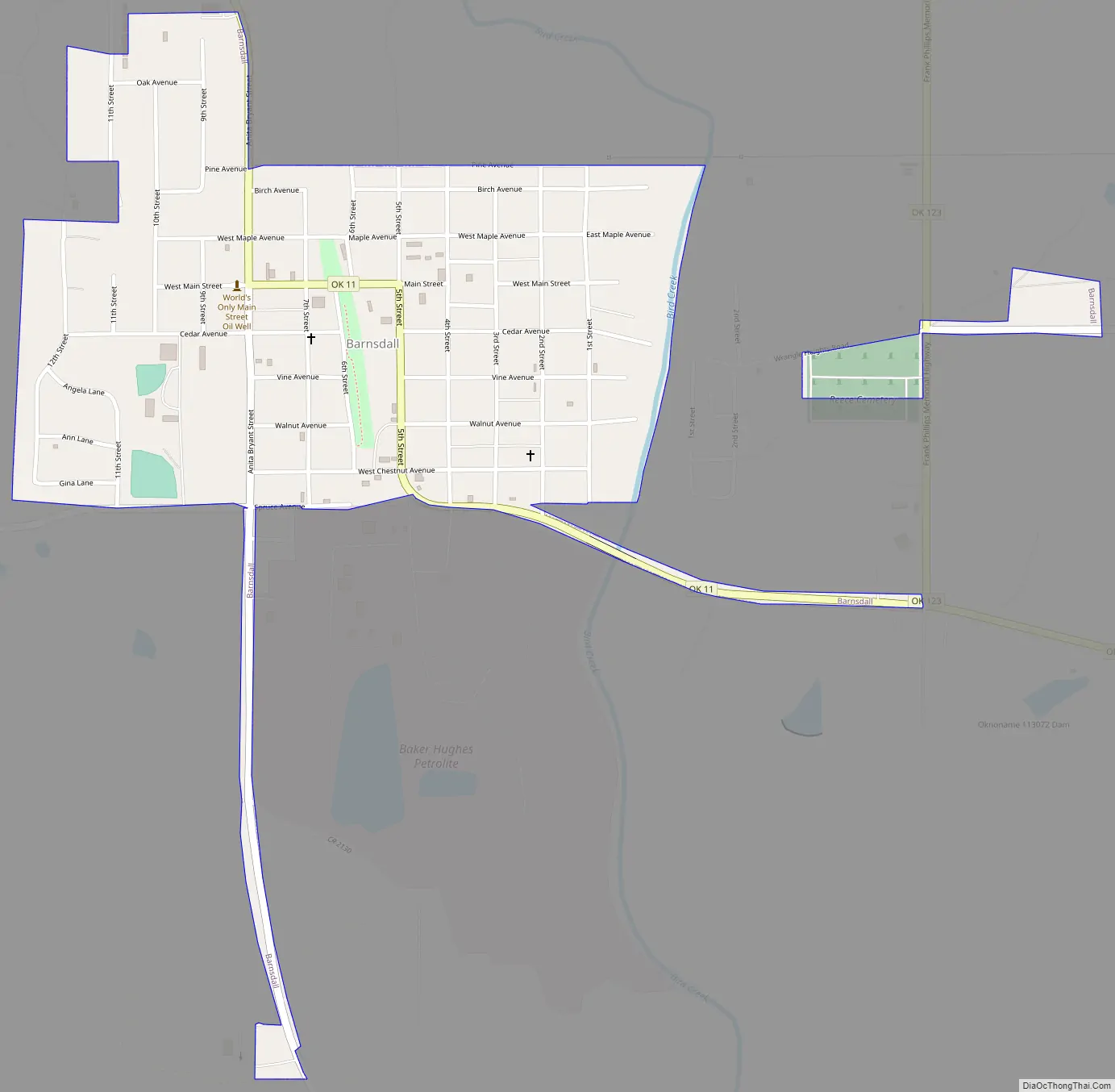
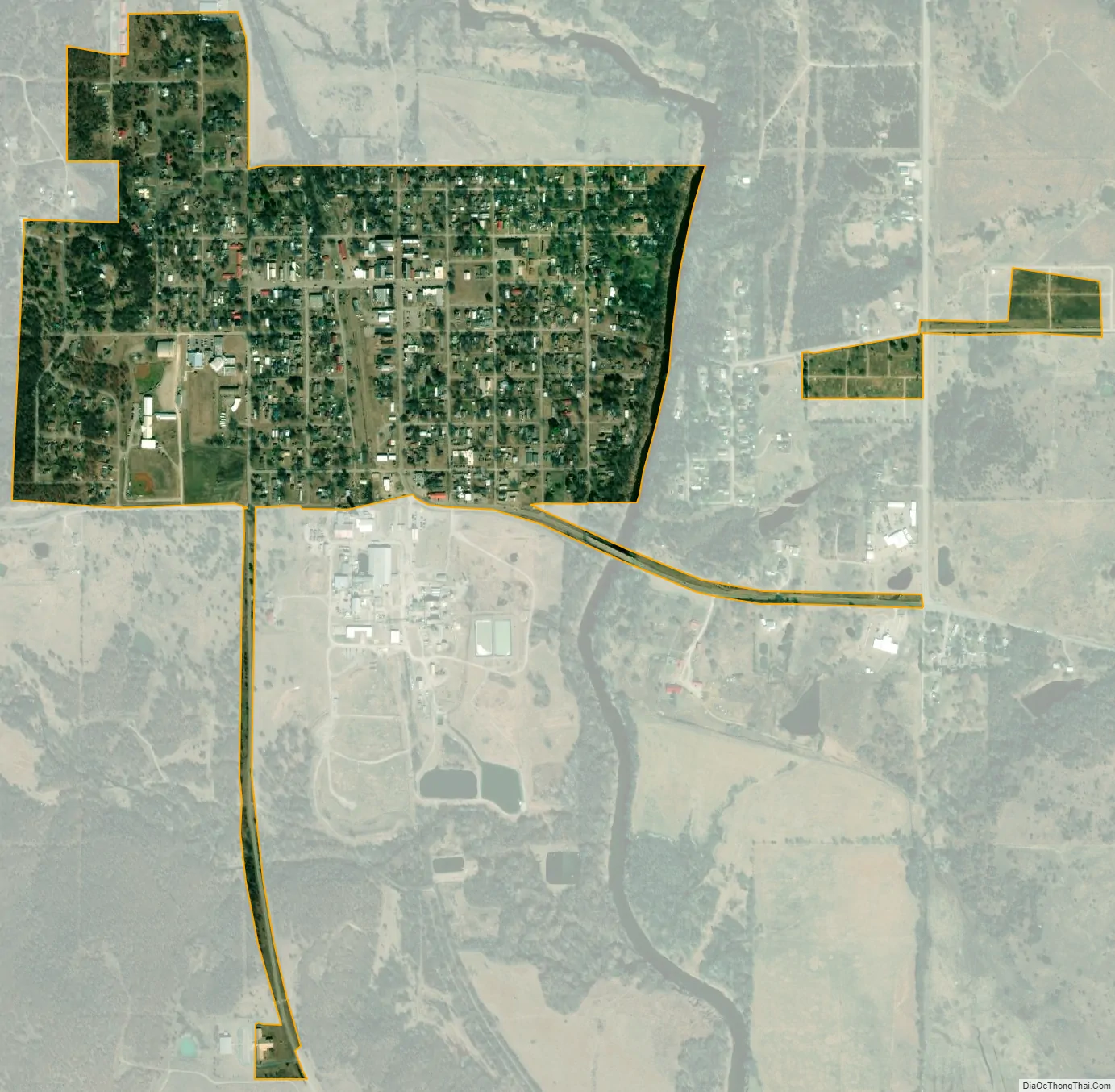
Barnsdall city Satellite Map
Geography
Barnsdall is located at 36°33′34″N 96°09′40″W / 36.559344°N 96.161062°W / 36.559344; -96.161062. It is 17 miles (27 km) southeast of Pawhuska, the Osage County seat, and 40 miles (64 km) northwest of Tulsa.
According to the United States Census Bureau, the city has a total area of 0.6 square miles (1.6 km), all land.
Climate
See also
Map of Oklahoma State and its subdivision:- Adair
- Alfalfa
- Atoka
- Beaver
- Beckham
- Blaine
- Bryan
- Caddo
- Canadian
- Carter
- Cherokee
- Choctaw
- Cimarron
- Cleveland
- Coal
- Comanche
- Cotton
- Craig
- Creek
- Custer
- Delaware
- Dewey
- Ellis
- Garfield
- Garvin
- Grady
- Grant
- Greer
- Harmon
- Harper
- Haskell
- Hughes
- Jackson
- Jefferson
- Johnston
- Kay
- Kingfisher
- Kiowa
- Latimer
- Le Flore
- Lincoln
- Logan
- Love
- Major
- Marshall
- Mayes
- McClain
- McCurtain
- McIntosh
- Murray
- Muskogee
- Noble
- Nowata
- Okfuskee
- Oklahoma
- Okmulgee
- Osage
- Ottawa
- Pawnee
- Payne
- Pittsburg
- Pontotoc
- Pottawatomie
- Pushmataha
- Roger Mills
- Rogers
- Seminole
- Sequoyah
- Stephens
- Texas
- Tillman
- Tulsa
- Wagoner
- Washington
- Washita
- Woods
- Woodward
- Alabama
- Alaska
- Arizona
- Arkansas
- California
- Colorado
- Connecticut
- Delaware
- District of Columbia
- Florida
- Georgia
- Hawaii
- Idaho
- Illinois
- Indiana
- Iowa
- Kansas
- Kentucky
- Louisiana
- Maine
- Maryland
- Massachusetts
- Michigan
- Minnesota
- Mississippi
- Missouri
- Montana
- Nebraska
- Nevada
- New Hampshire
- New Jersey
- New Mexico
- New York
- North Carolina
- North Dakota
- Ohio
- Oklahoma
- Oregon
- Pennsylvania
- Rhode Island
- South Carolina
- South Dakota
- Tennessee
- Texas
- Utah
- Vermont
- Virginia
- Washington
- West Virginia
- Wisconsin
- Wyoming