Pawhuska (Osage: 𐓄𐓘𐓢𐓶𐓮𐓤𐓘, hpahúska, lit.: White Hair; Chiwere: Paháhga) is a city in and the county seat of Osage County, Oklahoma, United States. It was named after the 19th-century Osage chief, Paw-Hiu-Skah, which means “White Hair” in English. The Osage tribal government, which opened offices in Pawhuska in 1872 when its reservation was established in Indian Territory, continues to be based in Pawhuska.
One of the United States’ first Boy Scout troops was organized here in 1909.
| Name: | Pawhuska city |
|---|---|
| LSAD Code: | 25 |
| LSAD Description: | city (suffix) |
| State: | Oklahoma |
| County: | Osage County |
| Elevation: | 820 ft (250 m) |
| Total Area: | 3.71 sq mi (9.61 km²) |
| Land Area: | 3.69 sq mi (9.57 km²) |
| Water Area: | 0.01 sq mi (0.04 km²) |
| Total Population: | 2,984 |
| Population Density: | 807.80/sq mi (311.90/km²) |
| ZIP code: | 74056 |
| Area code: | 539/918 |
| FIPS code: | 4057600 |
| GNISfeature ID: | 1096476 |
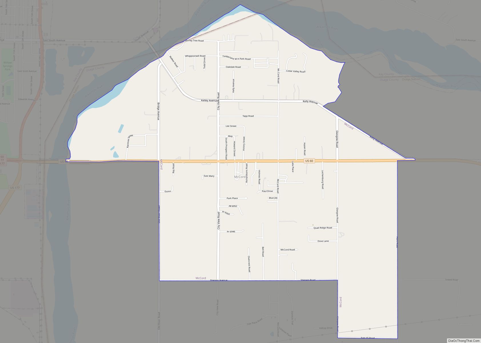
Online Interactive Map
Click on ![]() to view map in "full screen" mode.
to view map in "full screen" mode.
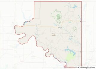
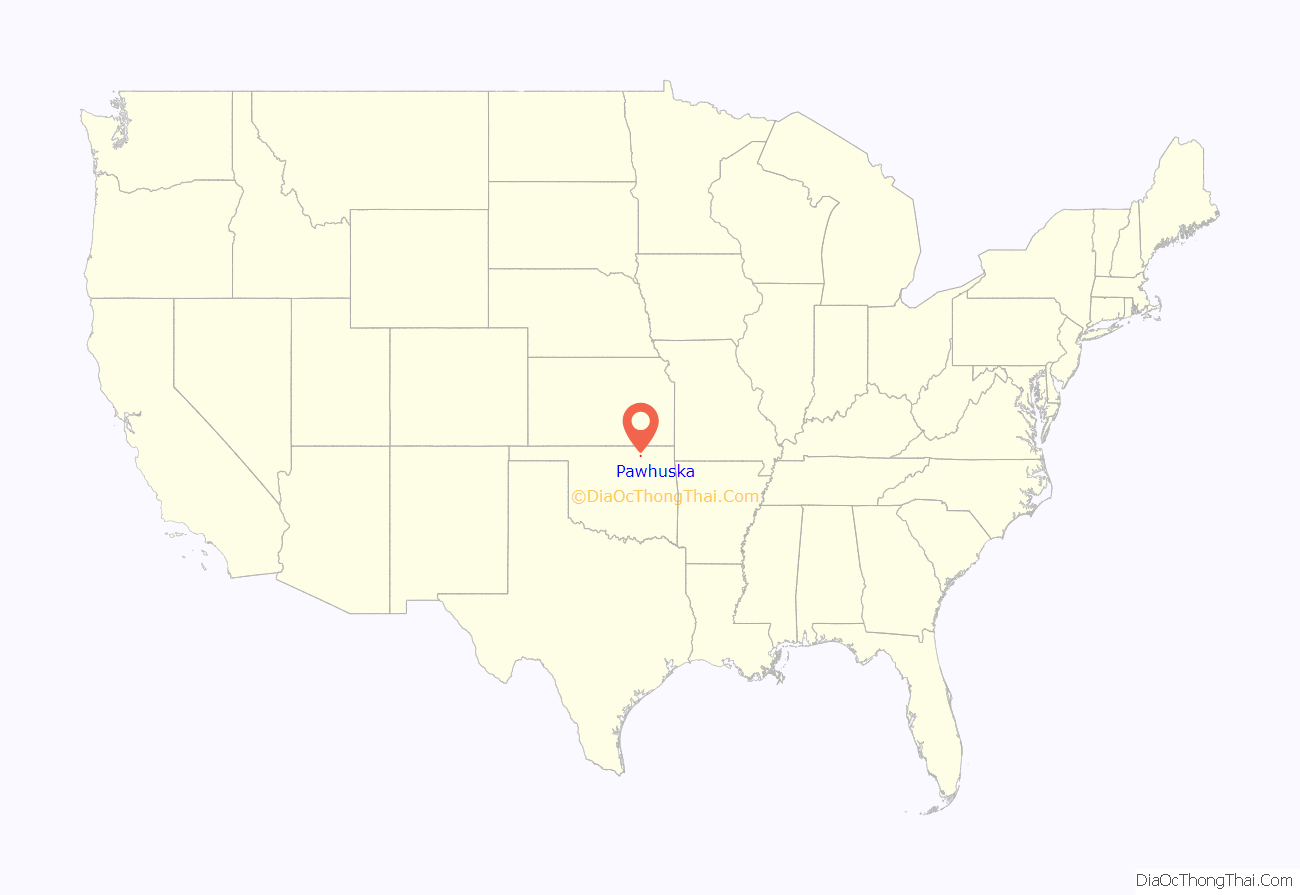
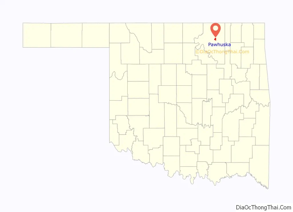
Pawhuska location map. Where is Pawhuska city?
History
The town, originally known as Deep Ford, was established in 1872 with the reservation for the Osage Nation, part of Indian Territory. The Osage Indian Agency was located along Bird Creek. One of the three main bands of the tribe settled here. Traders followed, building stores during 1872 and 1873. Pawhuska’s first newspaper, the Indian Herald (also known as Wah-Sha-She News.), was founded in 1875 by George Edward Tinker, an Osage who became the father of Clarence L. Tinker, highest-ranking Native American officer in the US Army. The first post office opened in 1876.
The Midland Valley Railroad reached Pawhuska in September 1905. By the time of statehood in 1907, the town population was 2,407.
The first Boy Scout troop is claimed to have been organized in Pawhuska in May 1909 by John F. Mitchell, a missionary priest from England sent to St. Thomas Episcopal Church by the Church of England. On Independence day weekend 2009, the Pawhuska Boy Scout troop celebrated its centennial with a mini-jamboree attended by over 300 Scouts from across the United States.
During the Osage oil boom of the 1910s and 1920s, Pawhuska was the site of big-money public auctions of oil and gas leases under the so-called “Million Dollar Elm” next to the Osage Council House. The population grew to 6,414 by 1920. The Atchison, Topeka and Santa Fe Railroad extended its line from Owen, a community in Washington County, to Pawhuska in 1923. As the oil boom declined and the Great Depression set in, the population declined. The steady decline has continued to the present.
Minor league baseball came to Pawhuska briefly in the 1920s in the form of two teams: the Pawhuska Huskers, which operated from 1920–21, and the Pawhuska Osages, which operated for part of the 1922 season before folding.
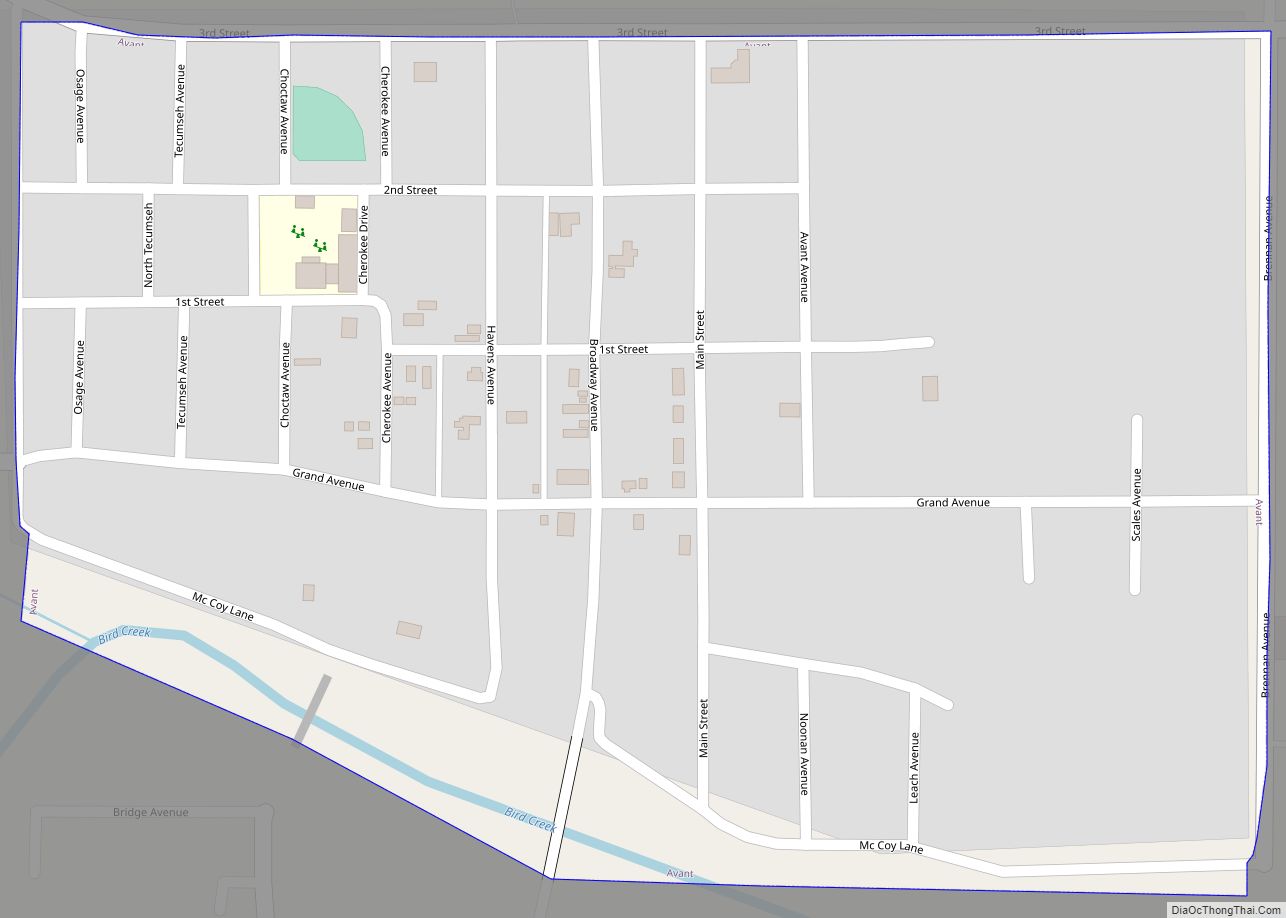
Pawhuska Road Map
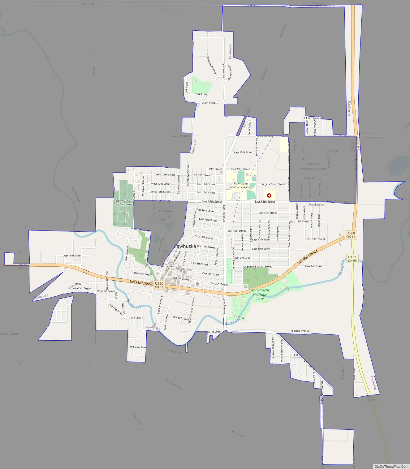
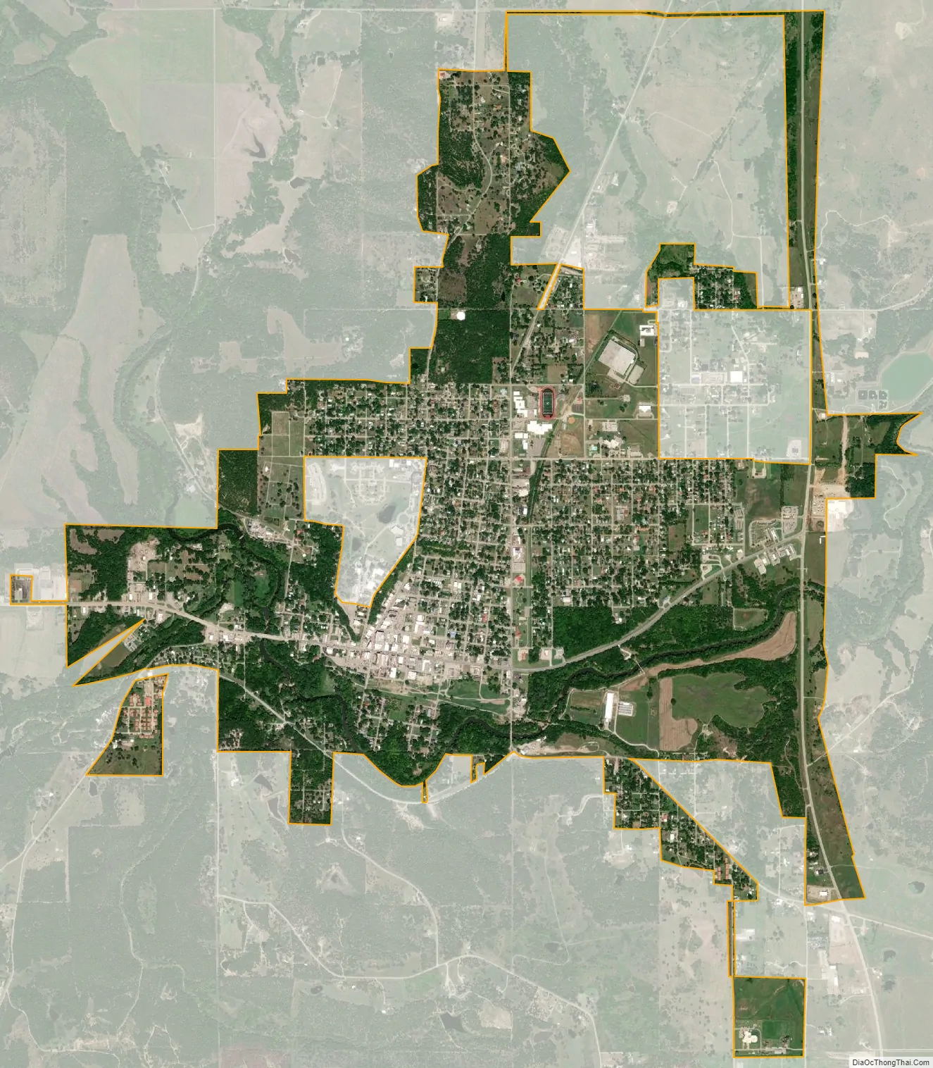
Pawhuska city Satellite Map
Geography
Pawhuska is 57 miles (92 km) northwest of Tulsa. According to the United States Census Bureau, the city has a total area of 3.8 square miles (9.8 km), all land.
The Tallgrass Prairie Preserve is north of the town.
See also
Map of Oklahoma State and its subdivision:- Adair
- Alfalfa
- Atoka
- Beaver
- Beckham
- Blaine
- Bryan
- Caddo
- Canadian
- Carter
- Cherokee
- Choctaw
- Cimarron
- Cleveland
- Coal
- Comanche
- Cotton
- Craig
- Creek
- Custer
- Delaware
- Dewey
- Ellis
- Garfield
- Garvin
- Grady
- Grant
- Greer
- Harmon
- Harper
- Haskell
- Hughes
- Jackson
- Jefferson
- Johnston
- Kay
- Kingfisher
- Kiowa
- Latimer
- Le Flore
- Lincoln
- Logan
- Love
- Major
- Marshall
- Mayes
- McClain
- McCurtain
- McIntosh
- Murray
- Muskogee
- Noble
- Nowata
- Okfuskee
- Oklahoma
- Okmulgee
- Osage
- Ottawa
- Pawnee
- Payne
- Pittsburg
- Pontotoc
- Pottawatomie
- Pushmataha
- Roger Mills
- Rogers
- Seminole
- Sequoyah
- Stephens
- Texas
- Tillman
- Tulsa
- Wagoner
- Washington
- Washita
- Woods
- Woodward
- Alabama
- Alaska
- Arizona
- Arkansas
- California
- Colorado
- Connecticut
- Delaware
- District of Columbia
- Florida
- Georgia
- Hawaii
- Idaho
- Illinois
- Indiana
- Iowa
- Kansas
- Kentucky
- Louisiana
- Maine
- Maryland
- Massachusetts
- Michigan
- Minnesota
- Mississippi
- Missouri
- Montana
- Nebraska
- Nevada
- New Hampshire
- New Jersey
- New Mexico
- New York
- North Carolina
- North Dakota
- Ohio
- Oklahoma
- Oregon
- Pennsylvania
- Rhode Island
- South Carolina
- South Dakota
- Tennessee
- Texas
- Utah
- Vermont
- Virginia
- Washington
- West Virginia
- Wisconsin
- Wyoming