Bromide is a town in Coal and Johnston counties in the U.S. state of Oklahoma. The population was 165 at the 2010 census.
The area around Bromide was noted for its mineral springs, and the bromide content of the water gave the town its name. It was also noted for limestone quarrying and the potential to produce manganese. Proposals to promote economic growth from these assets never materialized.
| Name: | Bromide town |
|---|---|
| LSAD Code: | 43 |
| LSAD Description: | town (suffix) |
| State: | Oklahoma |
| County: | Coal County, Johnston County |
| Elevation: | 709 ft (216 m) |
| Total Area: | 0.67 sq mi (1.74 km²) |
| Land Area: | 0.67 sq mi (1.74 km²) |
| Water Area: | 0.00 sq mi (0.00 km²) |
| Total Population: | 123 |
| Population Density: | 182.76/sq mi (70.54/km²) |
| ZIP code: | 74530 |
| Area code: | 580 |
| FIPS code: | 4009150 |
| GNISfeature ID: | 1090516 |
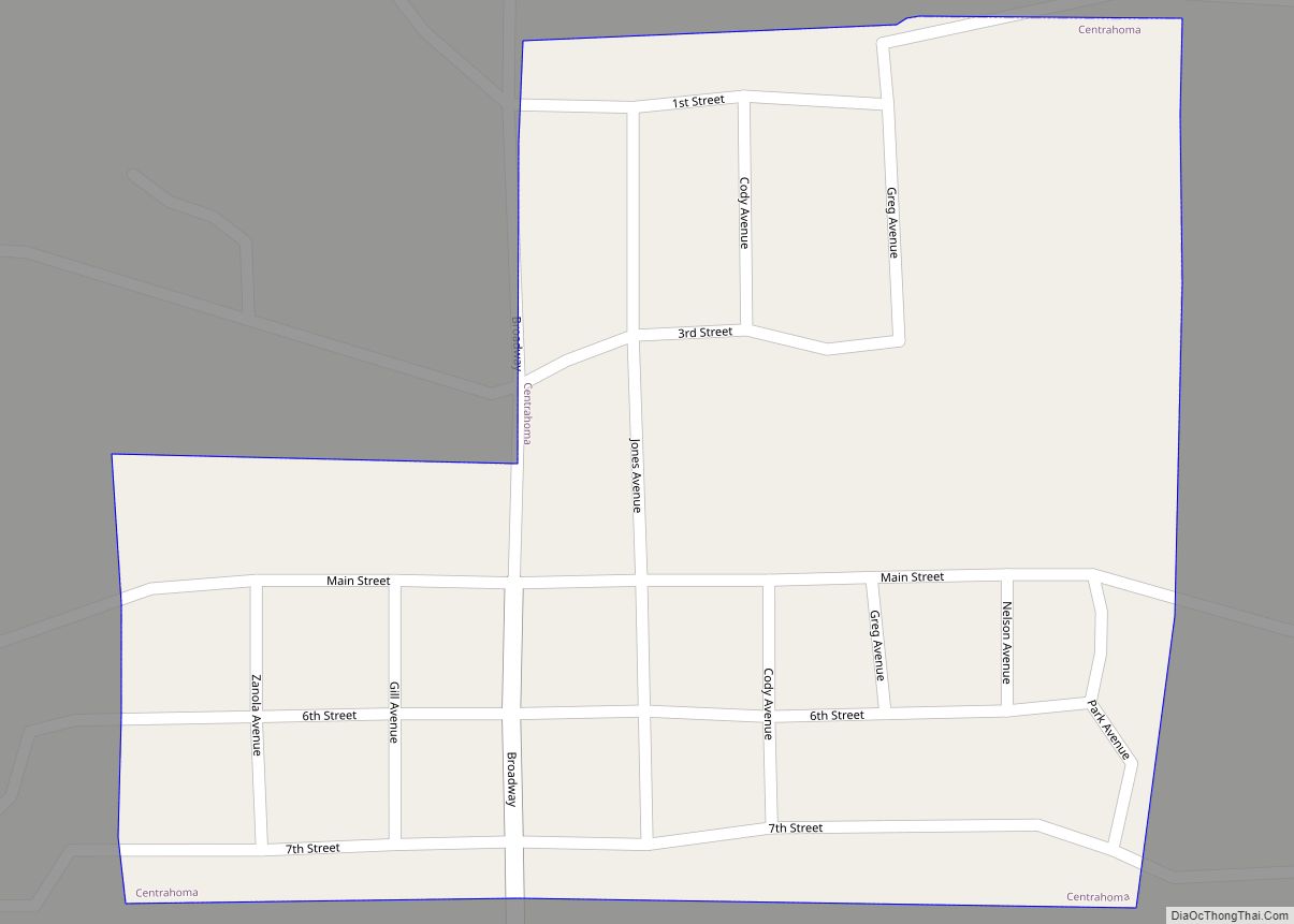
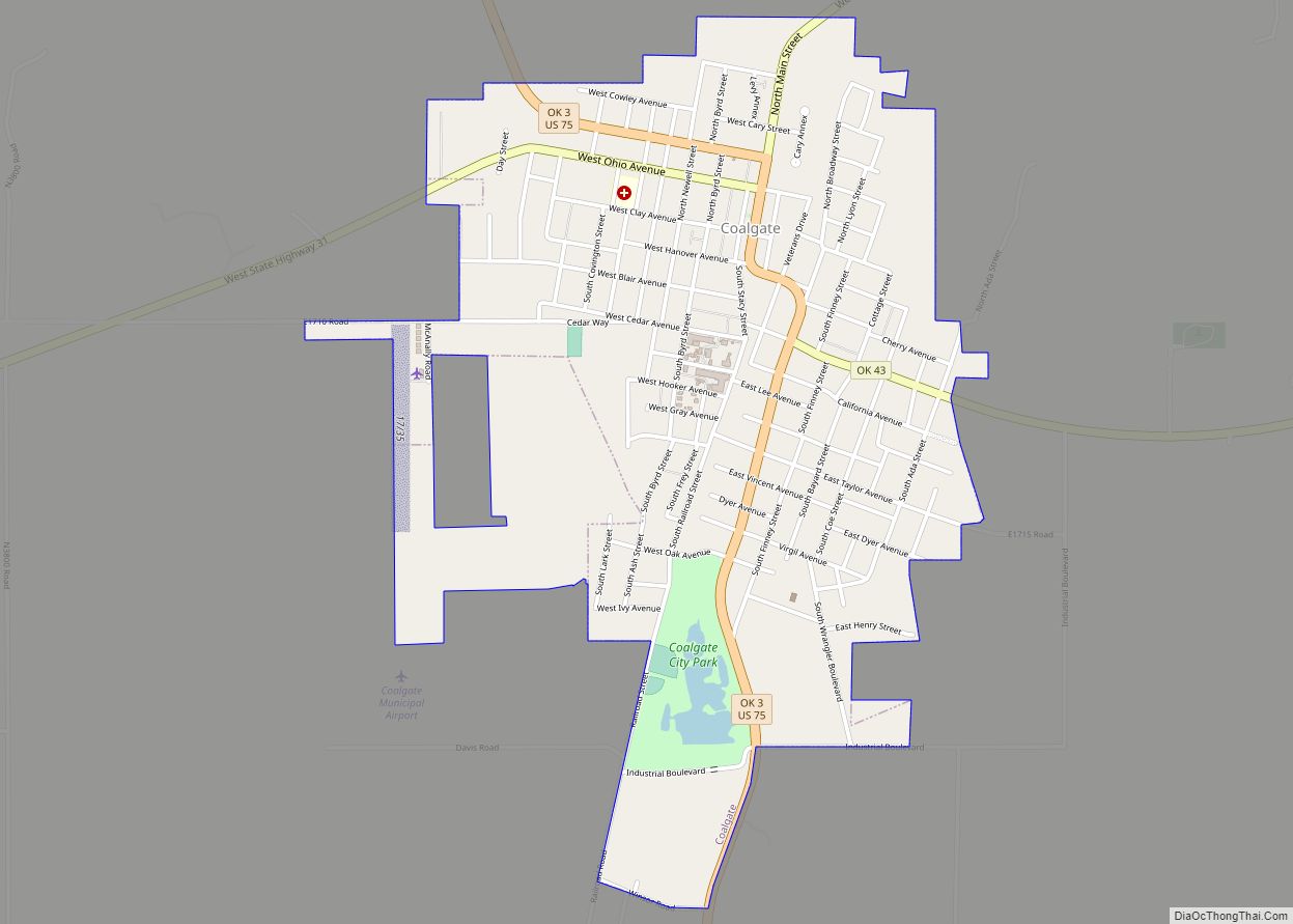
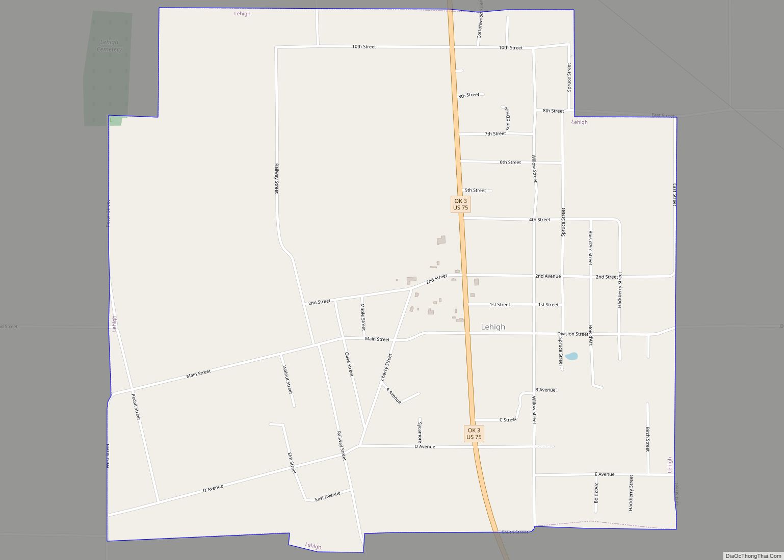
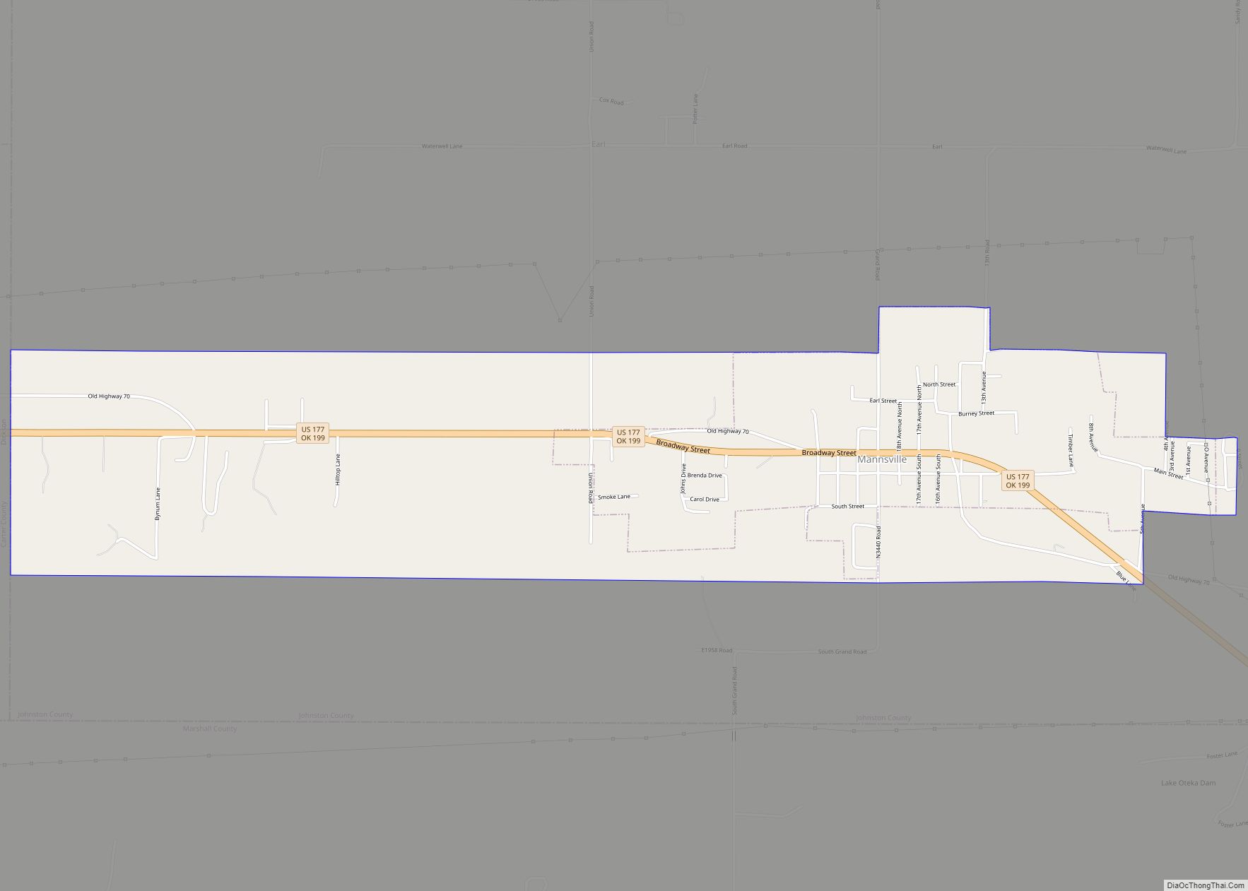
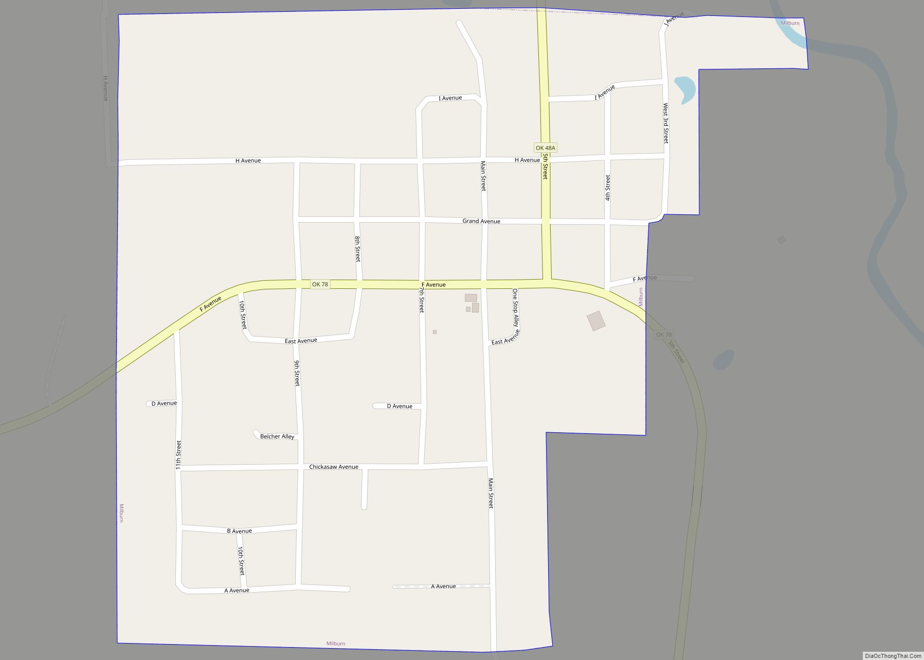
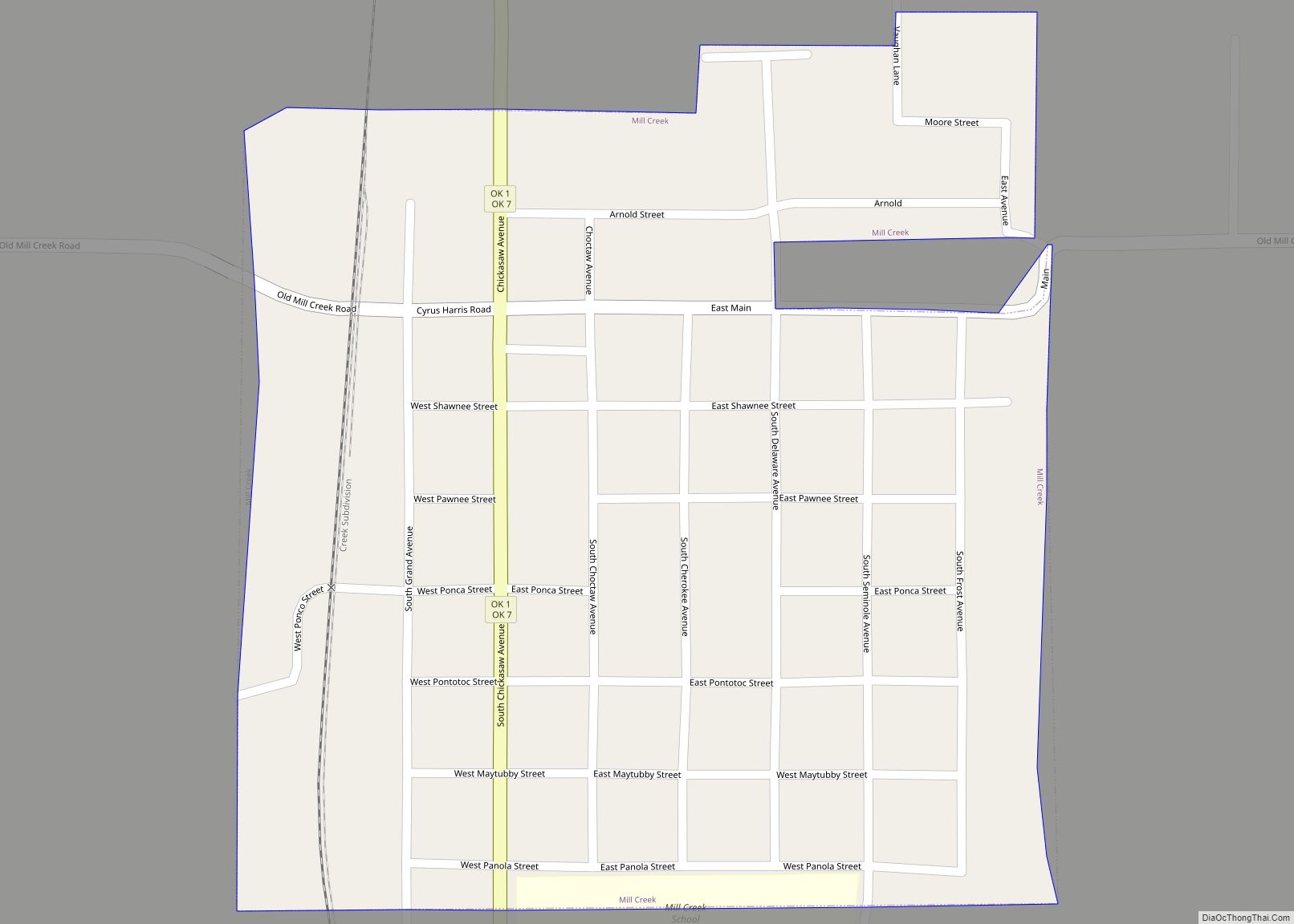
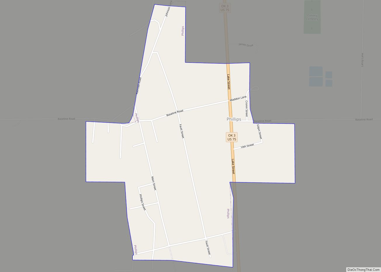
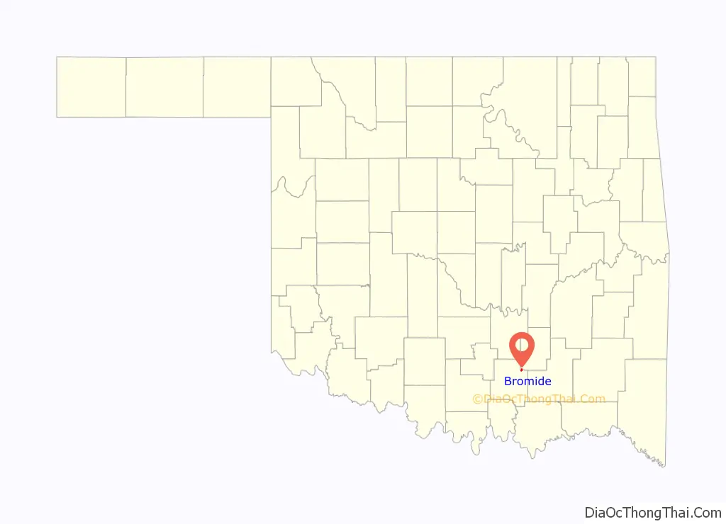
Online Interactive Map
Click on ![]() to view map in "full screen" mode.
to view map in "full screen" mode.
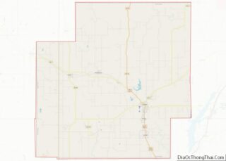
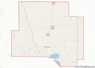
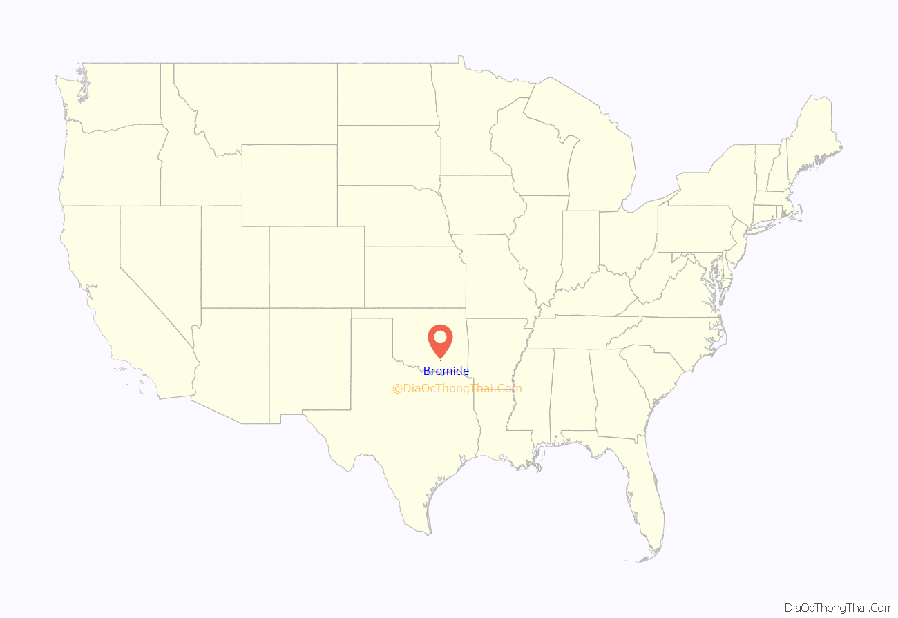
Bromide location map. Where is Bromide town?
History
Bromide was founded by Judge William H. Jackson, a former superintendent of the nearby Wapanucka Academy, who recognized the site near several mineral springs as a potential tourist attraction. The community was initially called “Juanita” (1905 – 1906), then “Zenobia” (1906 – 1907), before it was named “Bromide”. It incorporated in July 1908. Juanita and Zenobia were the names of two of Jackson’s daughters. The name “Bromide” was chosen because of the high content of bromine in the mineral water.
Before Oklahoma statehood, the townsite was part of the Chickasaw Nation. Native Americans were well acquainted with the mineral springs in the area. The Chickasaws called these Oka-Alichi (Medicine Water) or Hopi Kuli (Salt Springs), and believed that the waters had medicinal power, especially for “rheumatism, diseases of the stomach, kidney and bladder ailments, [and] nerve and skin problems”.
The first large business in Bromide was a limestone quarry, established by Robert Galbreath Jr., a Tulsa businessman. Stone became economically important about 1911, when the Missouri, Oklahoma and Gulf (MO&G) Railway (later bought by the Kansas, Oklahoma & Gulf (KO&G)) built a spur into Bromide. A rock-crushing plant was built just outside the city. Galbreath built a three-story hotel from rock quarried there. The KO&G promoted Bromide as “the best health resort in the southwestern states”. It also ran weekly excursions to the city. Three more hotels, a bathhouse, and a swimming pool were added to support the tourist trade. By 1920, the population had reached 520. The Great Depression dried up the tourist trade. The population of Bromide fell to 352 in 1930, 258 in 1950, and to 180 in 1980. KO&G abandoned its line in 1950.
Manganese (chemical symbol: Mn) ore was discovered in the vicinity of Bromide in 1890. A report published by the U.S. Geological Survey (USGS) stated that the ore deposits were small and could not yield high grade ore (more than 45 percent Mn). However, during World War I, steel producers began accepting ores as low as 35 percent Mn. The USGS report said that about 5,000 tons of ore containing 35 to 40 percent Mn could be produced from the Bromide area deposits. Oilman Robert Galbreath evidently thought this could become sufficiently profitable to be a worthwhile investment. However, the Great Depression put an end to the concept.
The nearby Wapanucka Academy site is listed in the National Register of Historic Places (NR72001065).
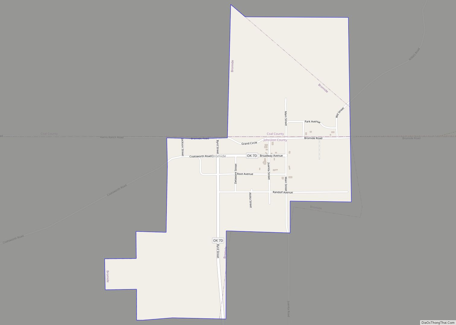
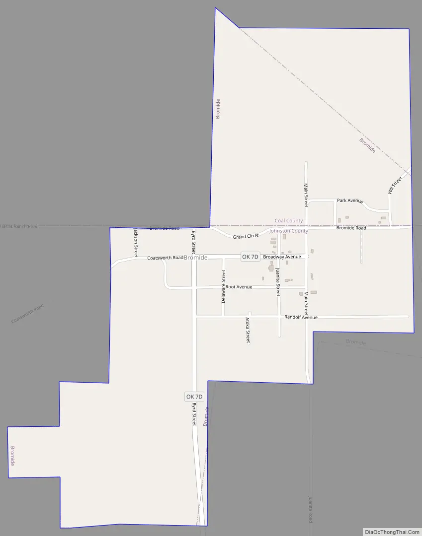
Bromide Road Map
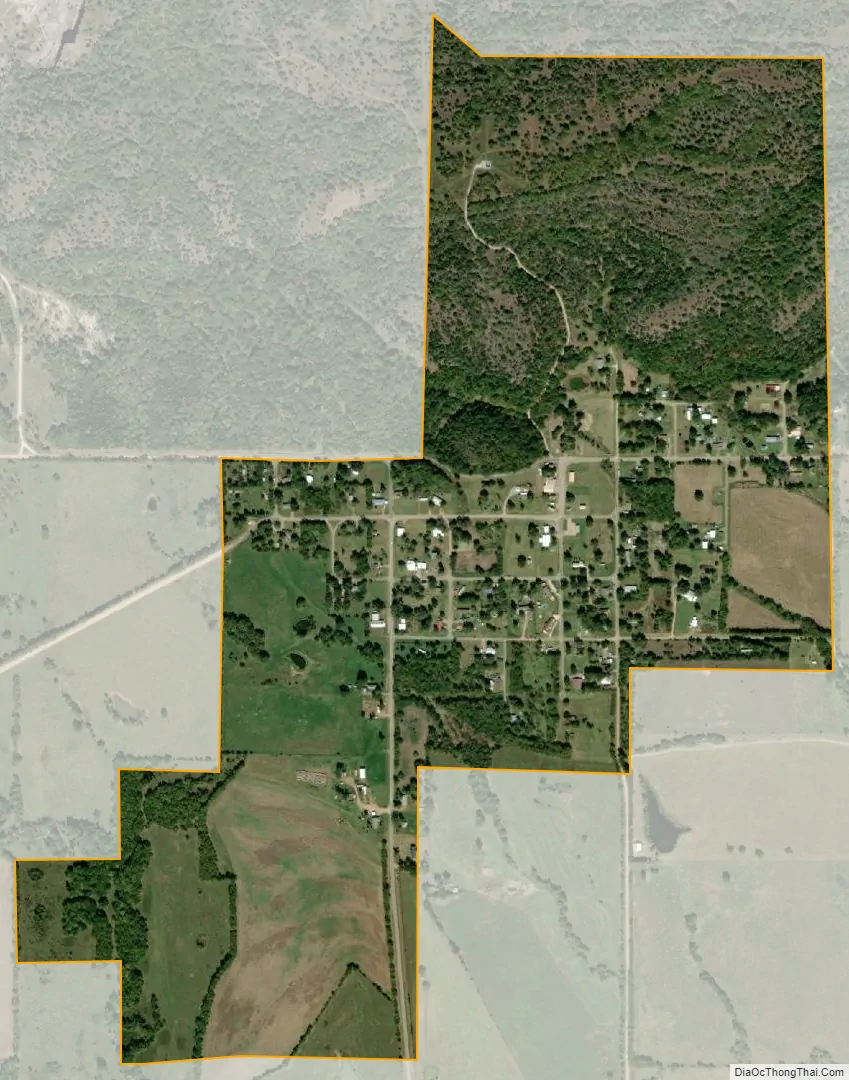
Bromide city Satellite Map
Geography
Bromide is located in northeastern Johnston County and southwestern Coal County at 34°25′4″N 96°29′40″W / 34.41778°N 96.49444°W / 34.41778; -96.49444 (34.417909, -96.494569), with the developed townsite mostly on the Johnston side of the county line. The town is 7 miles (11 km) by road northwest of Wapanucka and 21 miles (34 km) northeast of Tishomingo, the Johnston county seat. It is the same distance southwest of Coalgate, the Coal county seat.
According to the United States Census Bureau, Bromide has an area of 0.58 square miles (1.5 km), all land.
See also
Map of Oklahoma State and its subdivision:- Adair
- Alfalfa
- Atoka
- Beaver
- Beckham
- Blaine
- Bryan
- Caddo
- Canadian
- Carter
- Cherokee
- Choctaw
- Cimarron
- Cleveland
- Coal
- Comanche
- Cotton
- Craig
- Creek
- Custer
- Delaware
- Dewey
- Ellis
- Garfield
- Garvin
- Grady
- Grant
- Greer
- Harmon
- Harper
- Haskell
- Hughes
- Jackson
- Jefferson
- Johnston
- Kay
- Kingfisher
- Kiowa
- Latimer
- Le Flore
- Lincoln
- Logan
- Love
- Major
- Marshall
- Mayes
- McClain
- McCurtain
- McIntosh
- Murray
- Muskogee
- Noble
- Nowata
- Okfuskee
- Oklahoma
- Okmulgee
- Osage
- Ottawa
- Pawnee
- Payne
- Pittsburg
- Pontotoc
- Pottawatomie
- Pushmataha
- Roger Mills
- Rogers
- Seminole
- Sequoyah
- Stephens
- Texas
- Tillman
- Tulsa
- Wagoner
- Washington
- Washita
- Woods
- Woodward
- Alabama
- Alaska
- Arizona
- Arkansas
- California
- Colorado
- Connecticut
- Delaware
- District of Columbia
- Florida
- Georgia
- Hawaii
- Idaho
- Illinois
- Indiana
- Iowa
- Kansas
- Kentucky
- Louisiana
- Maine
- Maryland
- Massachusetts
- Michigan
- Minnesota
- Mississippi
- Missouri
- Montana
- Nebraska
- Nevada
- New Hampshire
- New Jersey
- New Mexico
- New York
- North Carolina
- North Dakota
- Ohio
- Oklahoma
- Oregon
- Pennsylvania
- Rhode Island
- South Carolina
- South Dakota
- Tennessee
- Texas
- Utah
- Vermont
- Virginia
- Washington
- West Virginia
- Wisconsin
- Wyoming