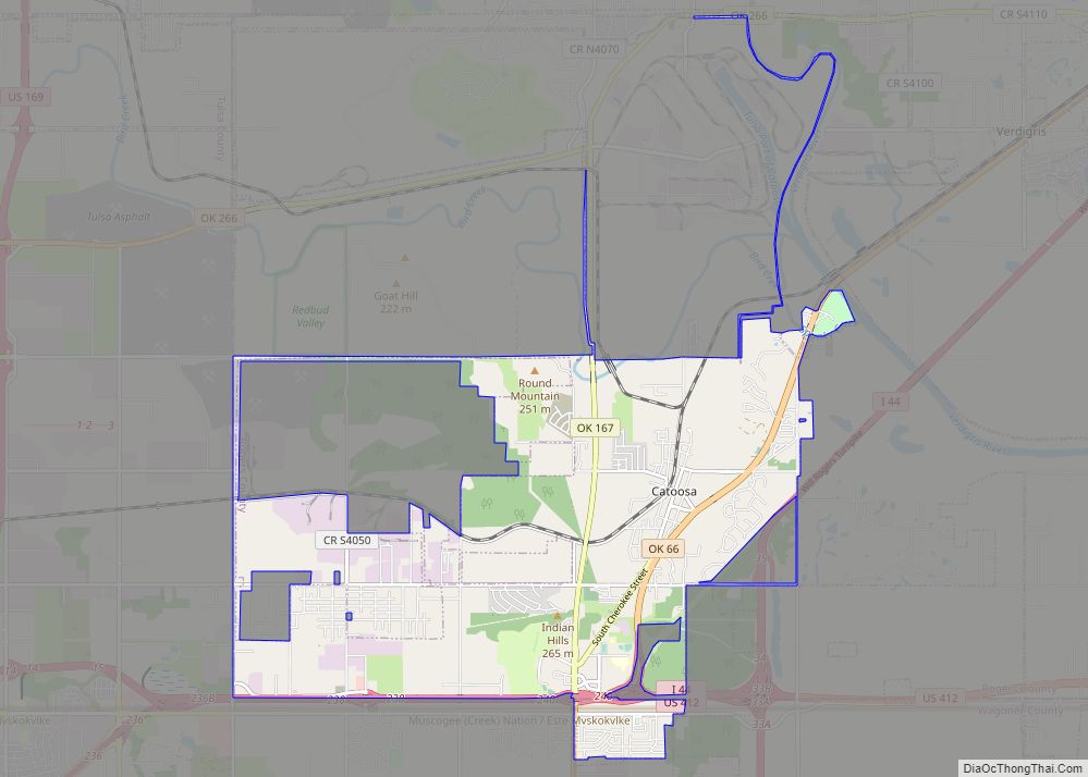
Catoosa is a city in Rogers and Wagoner counties in the U.S. state of Oklahoma. The population was 7,159 at the 2010 census compared to 5,449 at the 2000 census. This was a 31.2 percent increase during the decade.
| Name: | Catoosa city |
|---|---|
| LSAD Code: | 25 |
| LSAD Description: | city (suffix) |
| State: | Oklahoma |
| County: | Rogers County, Wagoner County |
| Elevation: | 623 ft (190 m) |
| Total Area: | 11.96 sq mi (30.98 km²) |
| Land Area: | 11.94 sq mi (30.92 km²) |
| Water Area: | 0.02 sq mi (0.06 km²) |
| Total Population: | 7,440 |
| Population Density: | 623.12/sq mi (240.59/km²) |
| ZIP code: | 74015 |
| Area code: | 539/918 |
| FIPS code: | 4012900 |
| GNISfeature ID: | 1091043 |
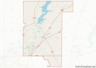
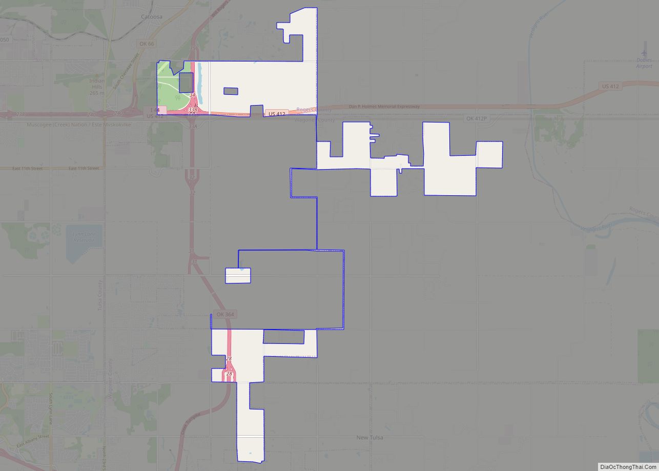
Online Interactive Map
Click on ![]() to view map in "full screen" mode.
to view map in "full screen" mode.
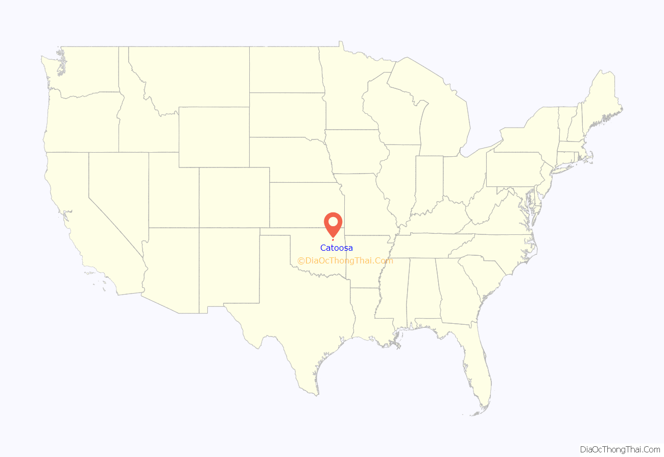
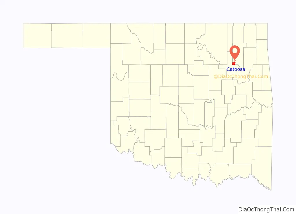
Catoosa location map. Where is Catoosa city?
History
The Cherokee Nation controlled the region during the 19th century. After the Atlantic and Pacific Railroad laid tracks in the early 1880s, the community became a cow town, with the establishment of William Halsell’s Bird Creek Ranch. In 1883, the Federal Government opened a post office here.
The name of the city is derived from the Cherokee language, phonetically pronounced “Ga-du-si” or “Ga-tu-si”. Various interpretations of this word exist, including: “between two hills”, “on the hill”, “into the hills”, and possibly signifying a prominent hill or place thereon.
Catoosa was home to Bluford “Blue” Duck, the infamous outlaw depicted in Lonesome Dove. He is buried in Dick Duck Cemetery located at the intersection of 193rd and Pine street.
The town grew from a population of 241 in 1900 to 410 by 1910. The local economy included a grain elevator, a cotton gin and mill, a marble works and some coal mines. By 1930, the population was back down to 264, but by 1960, was up to 638.
In 1971, the Tulsa Port of Catoosa opened and gave the town an economic boom. The port’s 2,000-acre (8.1 km) industrial park provided jobs for over 2,600 workers by the 21st century. As of December 2013, it had 70 businesses with over 4,000 workers. The port connects to the Mississippi River and the Gulf of Mexico via the McClellan-Kerr Arkansas River Navigation System.
On the evening of April 24, 1993, the town was struck by an F4 tornado. Seven people were left dead in the tornado’s wake, with six of the fatalities at a truck stop and one in a trailer park. In the aftermath of the tornado, which caused an estimated $500,000 in damage, 100 National Guard troops were deployed by Governor David Walters.
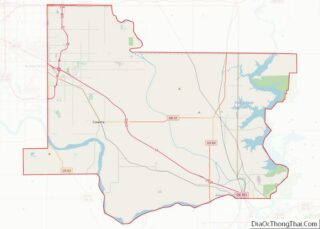
Catoosa Road Map
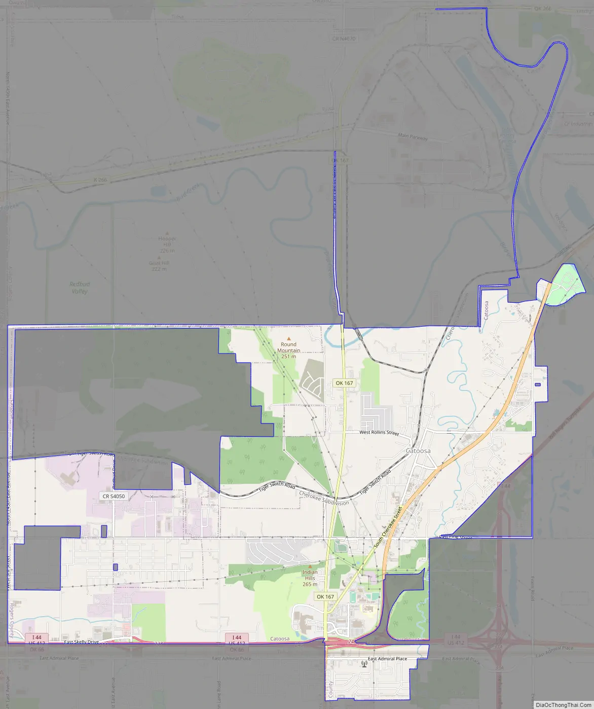
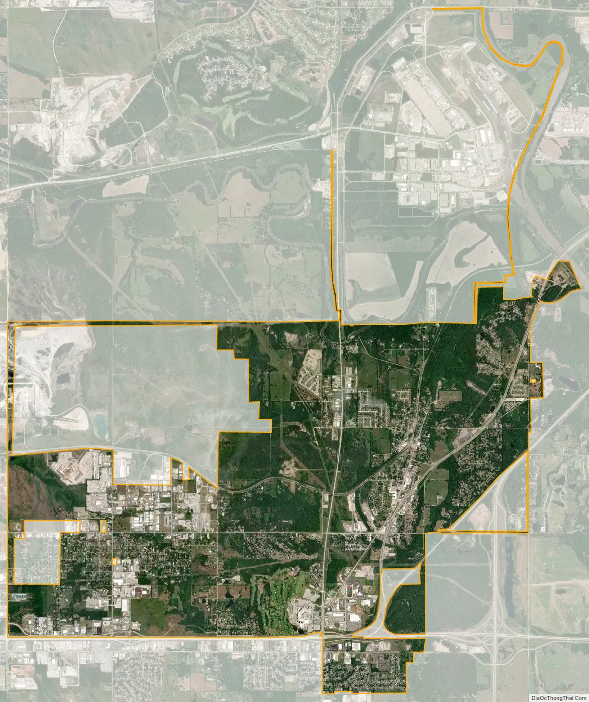
Catoosa city Satellite Map
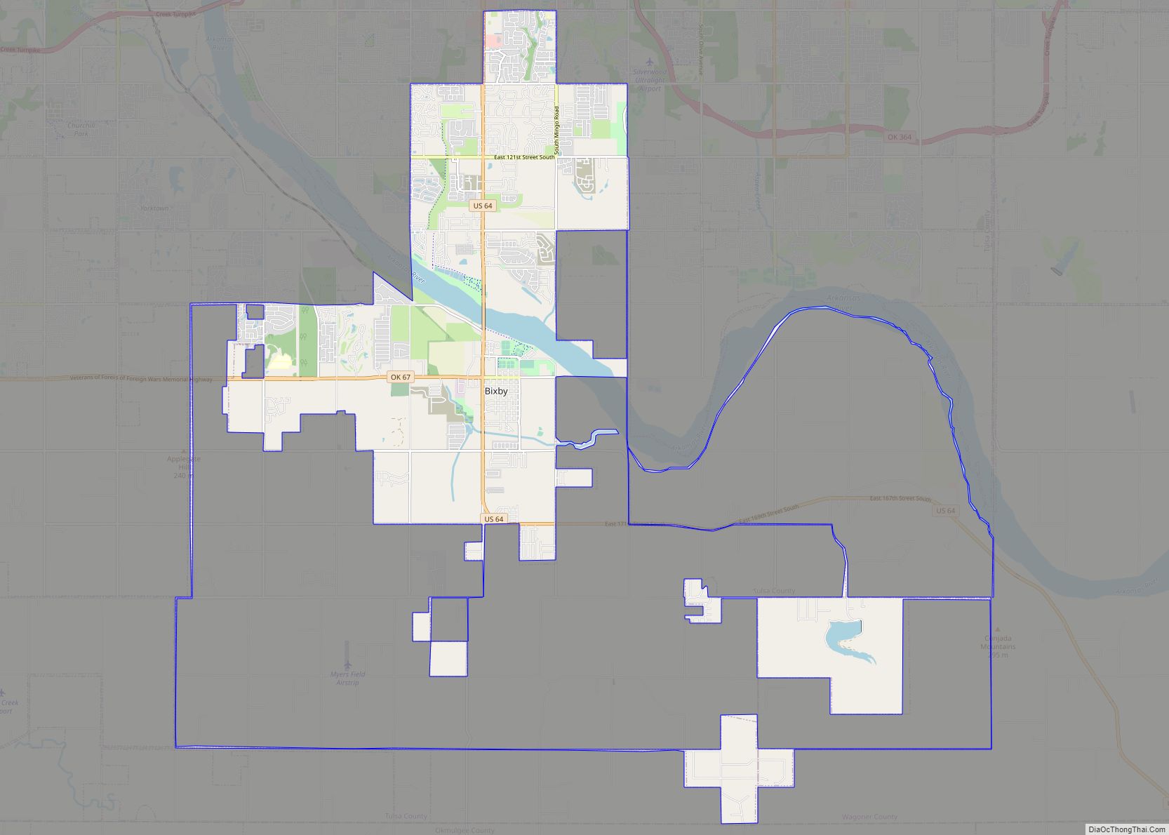
Geography
Catoosa is located 14 miles (23 km) northeast of Tulsa, Oklahoma in Rogers County, Oklahoma. This location provides mid-America river shipping access at the Tulsa Port of Catoosa. According to the United States Census Bureau, the city has a total area of 7 square miles (18 km), of which 7 sq mi (18 km) is land and 0.14 percent is water.
Catoosa has an inland seaport and the terminus of the Kerr-McClellan Arkansas River Navigation System. The Port of Catoosa is one of the farthest inland seaports in the United States, linking Tulsa to the Arkansas River, the Mississippi River, and eventually to the Gulf of Mexico.
Catoosa is linked by the South Kansas and Oklahoma Railroad through Owasso to Tulsa and points north.
Catoosa is located along historic Route 66.
See also
Map of Oklahoma State and its subdivision:- Adair
- Alfalfa
- Atoka
- Beaver
- Beckham
- Blaine
- Bryan
- Caddo
- Canadian
- Carter
- Cherokee
- Choctaw
- Cimarron
- Cleveland
- Coal
- Comanche
- Cotton
- Craig
- Creek
- Custer
- Delaware
- Dewey
- Ellis
- Garfield
- Garvin
- Grady
- Grant
- Greer
- Harmon
- Harper
- Haskell
- Hughes
- Jackson
- Jefferson
- Johnston
- Kay
- Kingfisher
- Kiowa
- Latimer
- Le Flore
- Lincoln
- Logan
- Love
- Major
- Marshall
- Mayes
- McClain
- McCurtain
- McIntosh
- Murray
- Muskogee
- Noble
- Nowata
- Okfuskee
- Oklahoma
- Okmulgee
- Osage
- Ottawa
- Pawnee
- Payne
- Pittsburg
- Pontotoc
- Pottawatomie
- Pushmataha
- Roger Mills
- Rogers
- Seminole
- Sequoyah
- Stephens
- Texas
- Tillman
- Tulsa
- Wagoner
- Washington
- Washita
- Woods
- Woodward
- Alabama
- Alaska
- Arizona
- Arkansas
- California
- Colorado
- Connecticut
- Delaware
- District of Columbia
- Florida
- Georgia
- Hawaii
- Idaho
- Illinois
- Indiana
- Iowa
- Kansas
- Kentucky
- Louisiana
- Maine
- Maryland
- Massachusetts
- Michigan
- Minnesota
- Mississippi
- Missouri
- Montana
- Nebraska
- Nevada
- New Hampshire
- New Jersey
- New Mexico
- New York
- North Carolina
- North Dakota
- Ohio
- Oklahoma
- Oregon
- Pennsylvania
- Rhode Island
- South Carolina
- South Dakota
- Tennessee
- Texas
- Utah
- Vermont
- Virginia
- Washington
- West Virginia
- Wisconsin
- Wyoming