Centrahoma is a rural small town in Coal County, Oklahoma, United States. The population was 97 at the 2010 census.
| Name: | Centrahoma city |
|---|---|
| LSAD Code: | 25 |
| LSAD Description: | city (suffix) |
| State: | Oklahoma |
| County: | Coal County |
| Elevation: | 709 ft (216 m) |
| Total Area: | 0.25 sq mi (0.65 km²) |
| Land Area: | 0.25 sq mi (0.65 km²) |
| Water Area: | 0.00 sq mi (0.00 km²) |
| Total Population: | 81 |
| Population Density: | 322.71/sq mi (124.40/km²) |
| ZIP code: | 74534 |
| Area code: | 580 |
| FIPS code: | 4013100 |
| GNISfeature ID: | 1091185 |
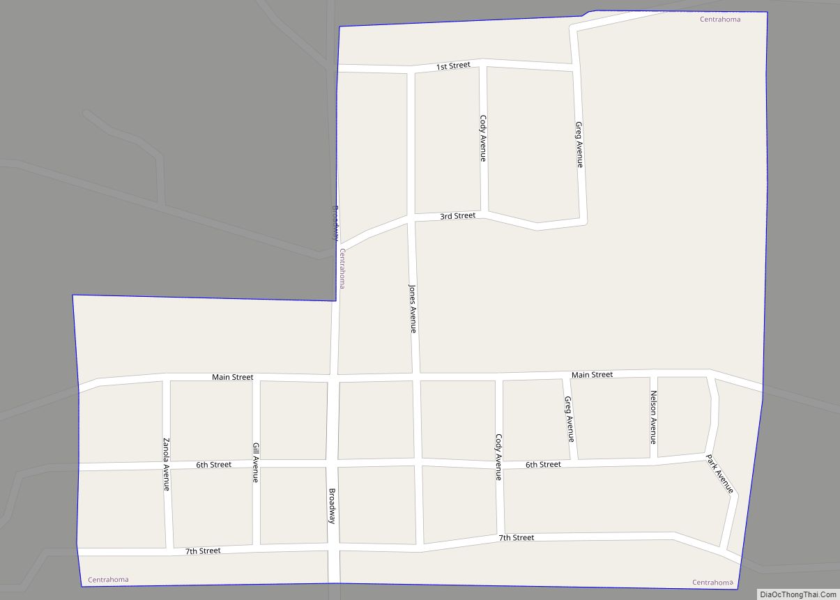
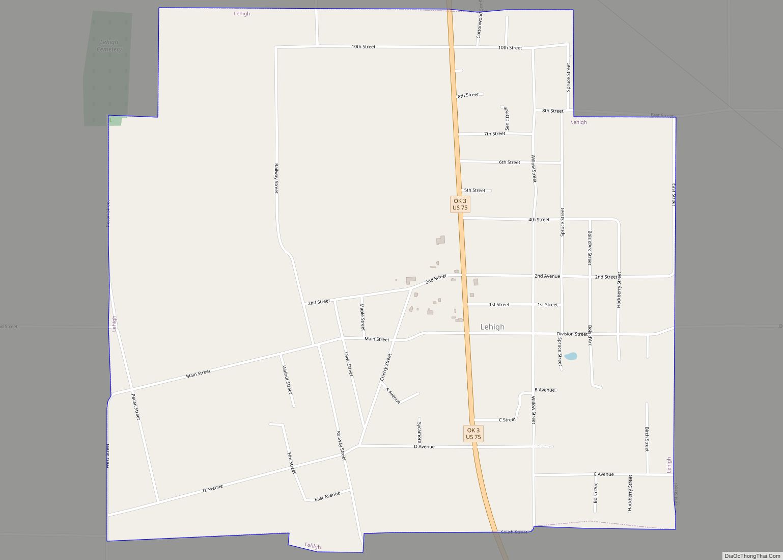
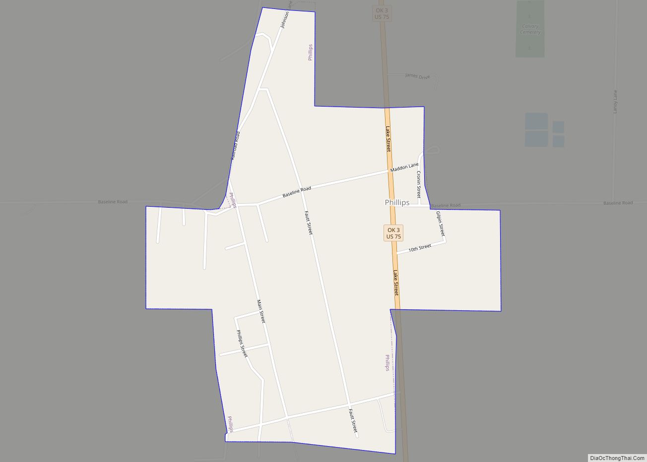
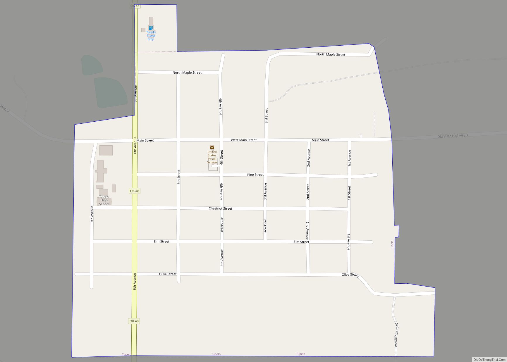
Online Interactive Map
Click on ![]() to view map in "full screen" mode.
to view map in "full screen" mode.
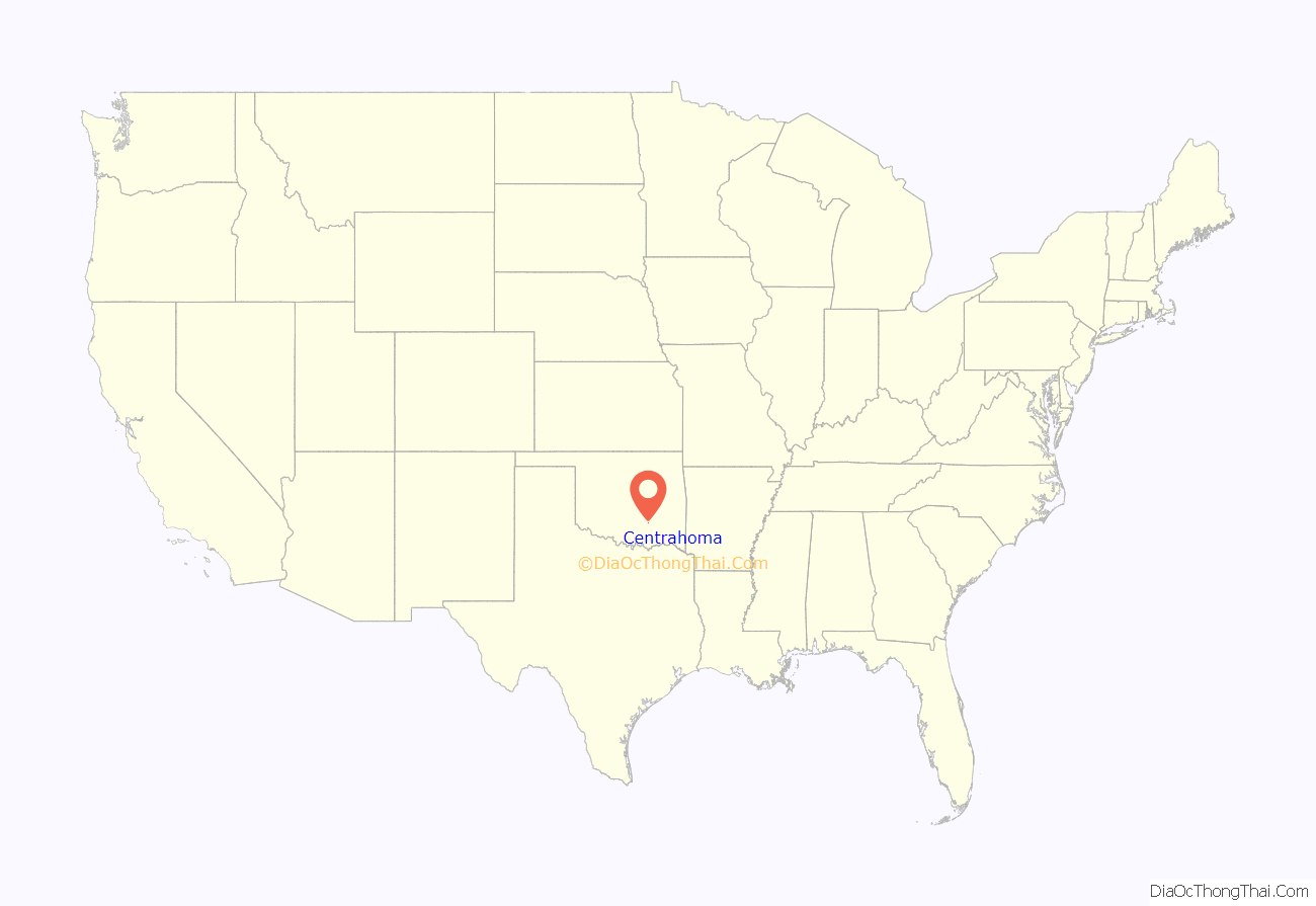
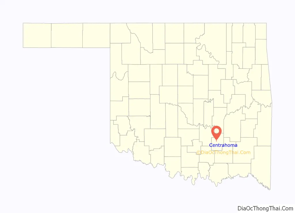
Centrahoma location map. Where is Centrahoma city?
History
A post office was established at Byrd, Indian Territory on March 3, 1892. It was named for William L. Byrd, Governor of the Chickasaw Nation. Its name changed to Owl, Indian Territory on July 10, 1894. The post office took its name from nearby Owl Creek, a branch of Leader Creek, a tributary of Clear Boggy Creek. On June 11, 1907 the post office was moved a few miles northeast and the name changed to Centrahoma, Indian Territory. Its name was coined from “central Oklahoma.”
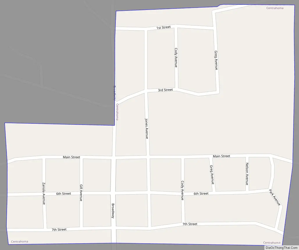
Centrahoma Road Map
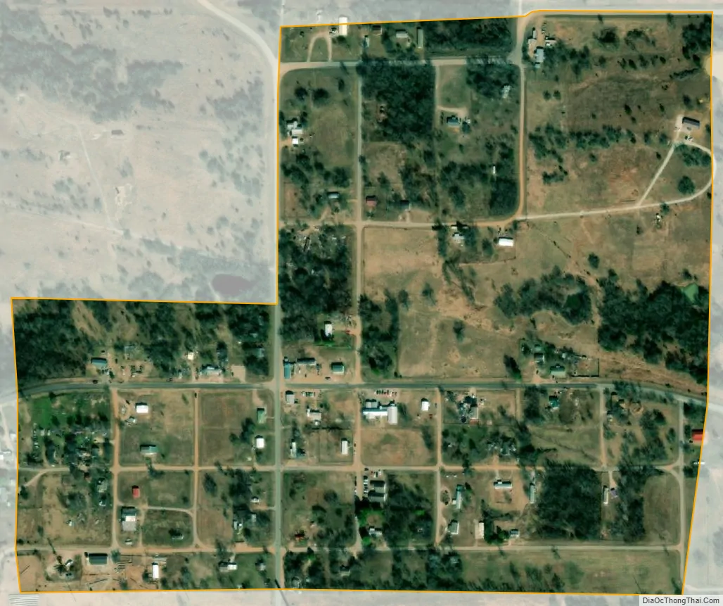
Centrahoma city Satellite Map
Geography
Centrahoma is located northwest of the center of Coal County at 34°36′33″N 96°20′42″W / 34.60917°N 96.34500°W / 34.60917; -96.34500 (34.609299, -96.345053). Oklahoma State Highway 3 passes south of the community, leading northwest 24 miles (39 km) to Ada and southeast 22 miles (35 km) to Atoka.
According to the United States Census Bureau, the city has a total area of 0.23 square miles (0.6 km), all land. As of 2015, the only business was a cafe; there were no services.
See also
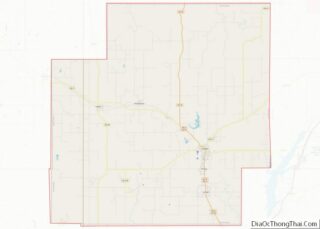
Map of Oklahoma State and its subdivision:- Adair
- Alfalfa
- Atoka
- Beaver
- Beckham
- Blaine
- Bryan
- Caddo
- Canadian
- Carter
- Cherokee
- Choctaw
- Cimarron
- Cleveland
- Coal
- Comanche
- Cotton
- Craig
- Creek
- Custer
- Delaware
- Dewey
- Ellis
- Garfield
- Garvin
- Grady
- Grant
- Greer
- Harmon
- Harper
- Haskell
- Hughes
- Jackson
- Jefferson
- Johnston
- Kay
- Kingfisher
- Kiowa
- Latimer
- Le Flore
- Lincoln
- Logan
- Love
- Major
- Marshall
- Mayes
- McClain
- McCurtain
- McIntosh
- Murray
- Muskogee
- Noble
- Nowata
- Okfuskee
- Oklahoma
- Okmulgee
- Osage
- Ottawa
- Pawnee
- Payne
- Pittsburg
- Pontotoc
- Pottawatomie
- Pushmataha
- Roger Mills
- Rogers
- Seminole
- Sequoyah
- Stephens
- Texas
- Tillman
- Tulsa
- Wagoner
- Washington
- Washita
- Woods
- Woodward
- Alabama
- Alaska
- Arizona
- Arkansas
- California
- Colorado
- Connecticut
- Delaware
- District of Columbia
- Florida
- Georgia
- Hawaii
- Idaho
- Illinois
- Indiana
- Iowa
- Kansas
- Kentucky
- Louisiana
- Maine
- Maryland
- Massachusetts
- Michigan
- Minnesota
- Mississippi
- Missouri
- Montana
- Nebraska
- Nevada
- New Hampshire
- New Jersey
- New Mexico
- New York
- North Carolina
- North Dakota
- Ohio
- Oklahoma
- Oregon
- Pennsylvania
- Rhode Island
- South Carolina
- South Dakota
- Tennessee
- Texas
- Utah
- Vermont
- Virginia
- Washington
- West Virginia
- Wisconsin
- Wyoming