Checotah is a town in McIntosh County, Oklahoma, United States. It was named for Samuel Checote, the first chief of the Creek Nation elected after the Civil War. Its population was 3,481 at the 2000 census. According to Census 2010, the population has decreased to 3,335; a 4.19% loss.
Checotah is home to numerous antique malls, a Civil War battle site, and a downtown historic district. Checotah claims to be the steer wrestling capital of the world. Early boosters called Checotah “The Gem of the Prairie”.
| Name: | Checotah city |
|---|---|
| LSAD Code: | 25 |
| LSAD Description: | city (suffix) |
| State: | Oklahoma |
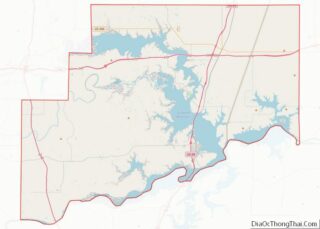
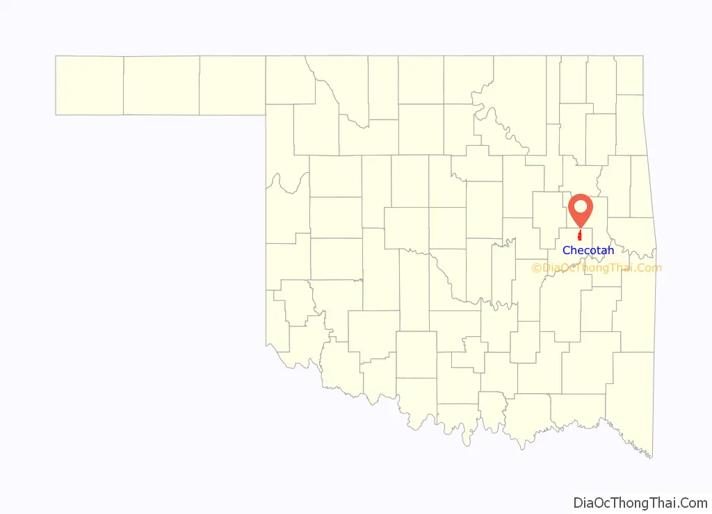
| County: | McIntosh County |
| Elevation: | 650 ft (198 m) |
| Total Area: | 9.03 sq mi (23.39 km²) |
| Land Area: | 8.96 sq mi (23.22 km²) |
| Water Area: | 0.06 sq mi (0.17 km²) |
| Total Population: | 3,018 |
| Population Density: | 336.64/sq mi (129.97/km²) |
| ZIP code: | 74426 |
| Area code: | 539/918 |
| FIPS code: | 4013650 |
| GNISfeature ID: | 1091227 |
| Website: | www.checotah.net |
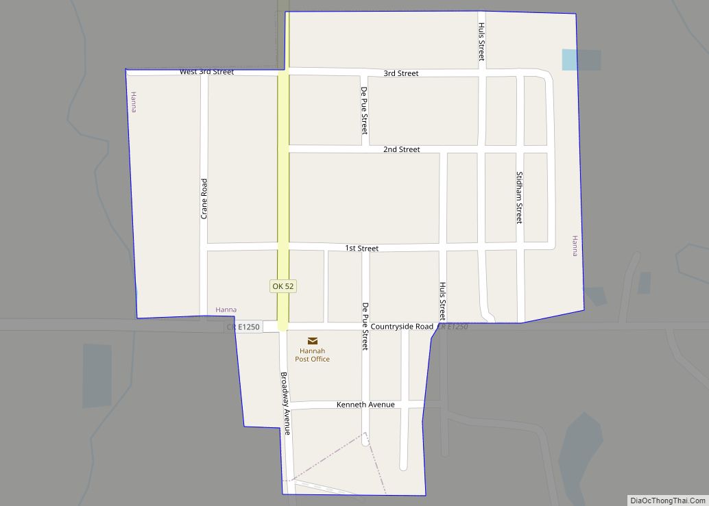
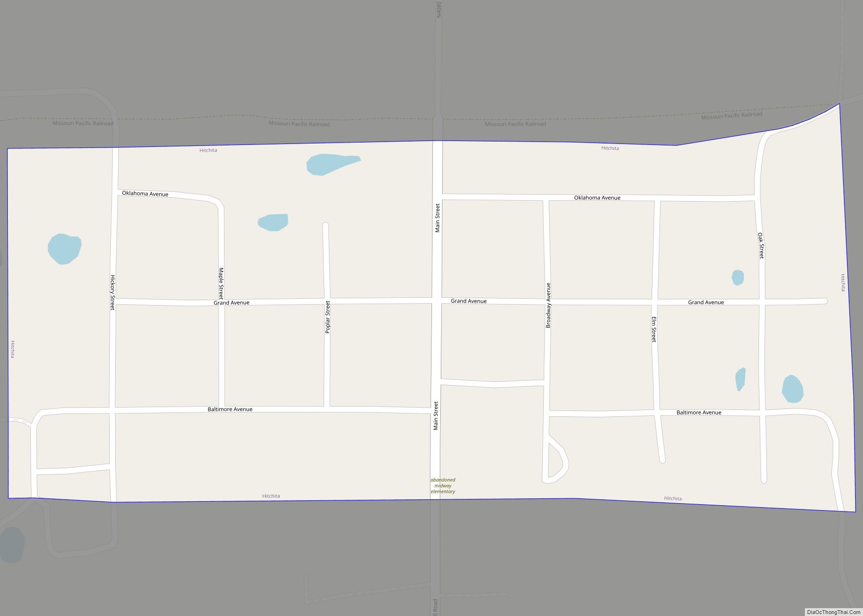
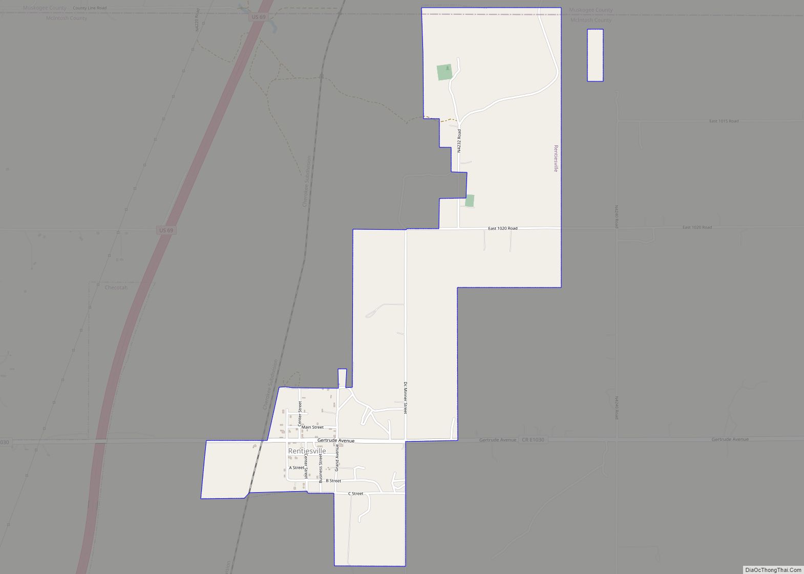
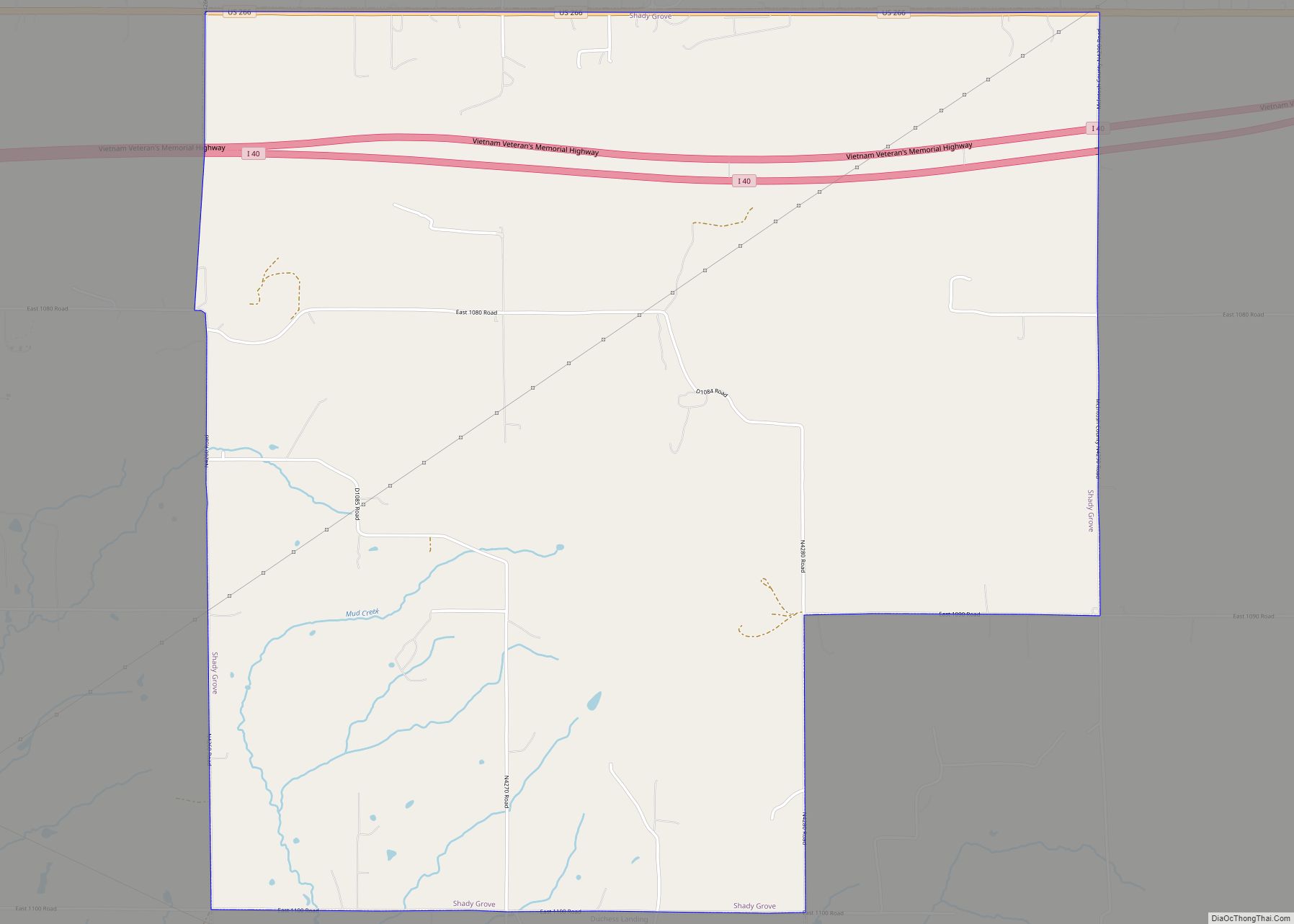
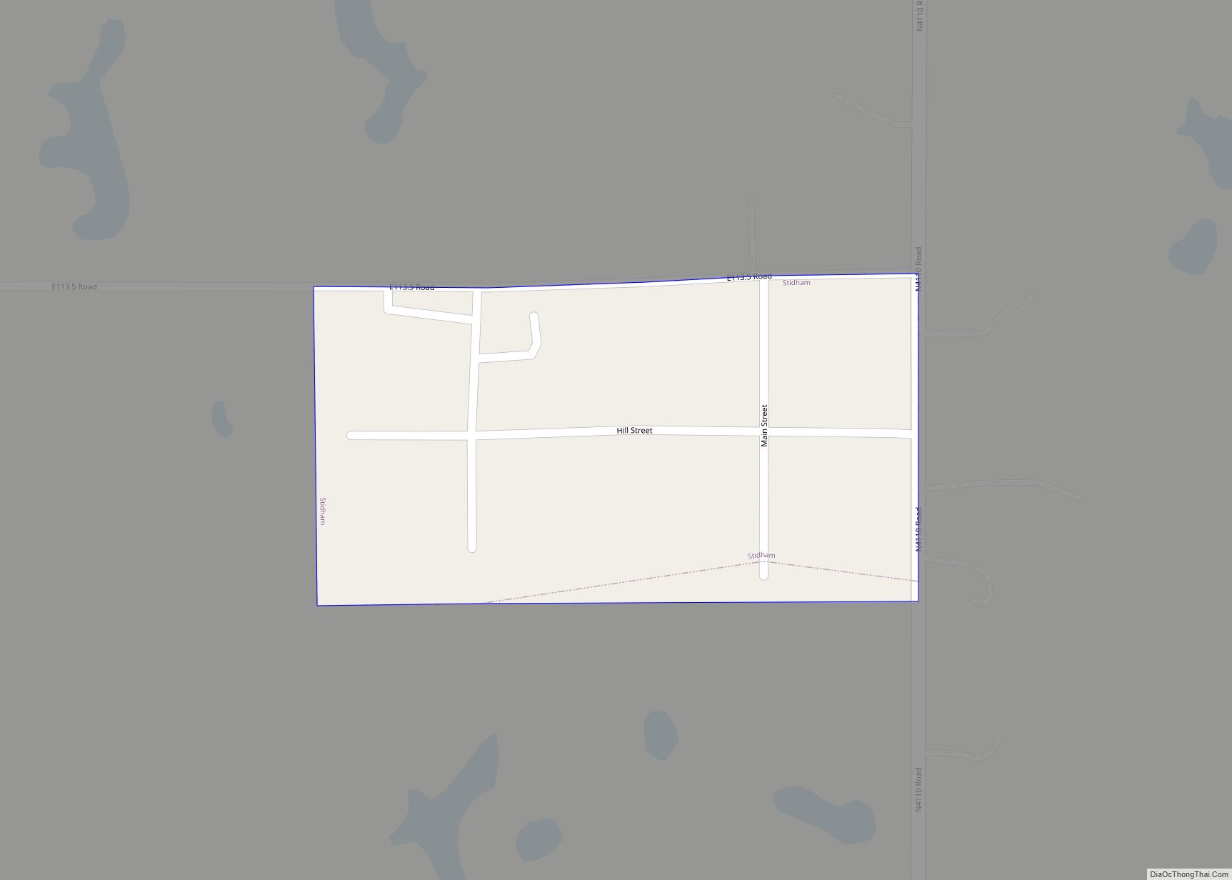
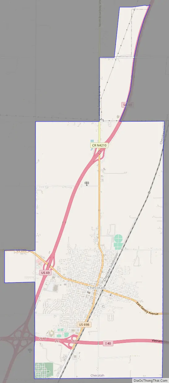
Online Interactive Map
Click on ![]() to view map in "full screen" mode.
to view map in "full screen" mode.
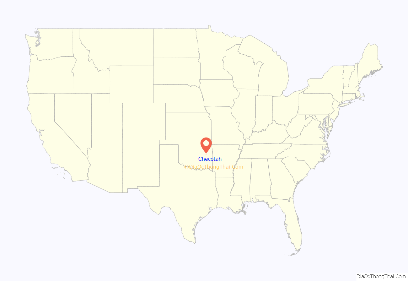
Checotah location map. Where is Checotah city?
History
The Missouri–Kansas–Texas Railroad (also known as the MKT or Katy) established a railhead on the old Texas Road in 1872 that became the site of present-day Checotah. Although it was named Checote Switch for Samuel Checote, a later mapmaker spelled the name as Checotah. The town was chartered by the Creek Nation in 1893. The Dawes Commission held its first meeting here.
Between 1907 and 1909, the people of Checotah were involved in a dispute with nearby Eufaula known as the McIntosh County Seat War. After Checotah was designated as the new county seat, the people of Eufaula refused to hand over the county records. Soon after, a group of heavily armed men from Chectotah attempted to seize the records from the courthouse in Eufaula, but were beaten back and forced to surrender during the gunfight that followed. Eufaula was designated as the permanent seat of McIntosh County one year later.
Checotah was on the route of the Jefferson Highway established in 1915, with that road running more than 2,300 miles from Winnipeg, Manitoba to New Orleans, Louisiana.
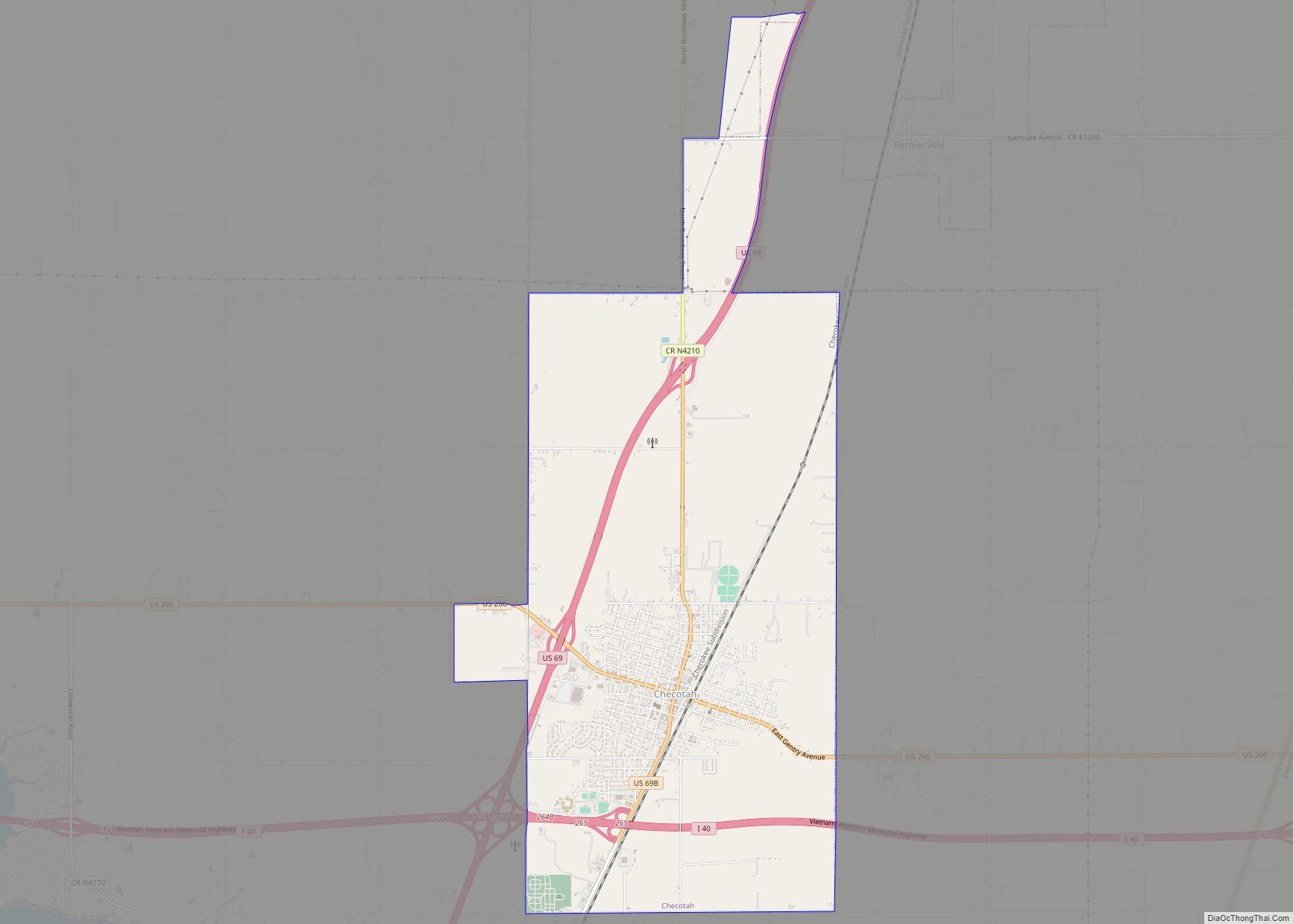
Checotah Road Map
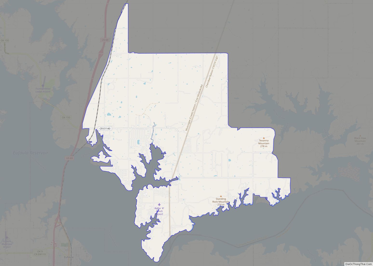
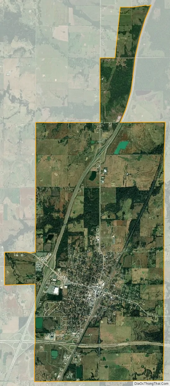
Checotah city Satellite Map
Geography
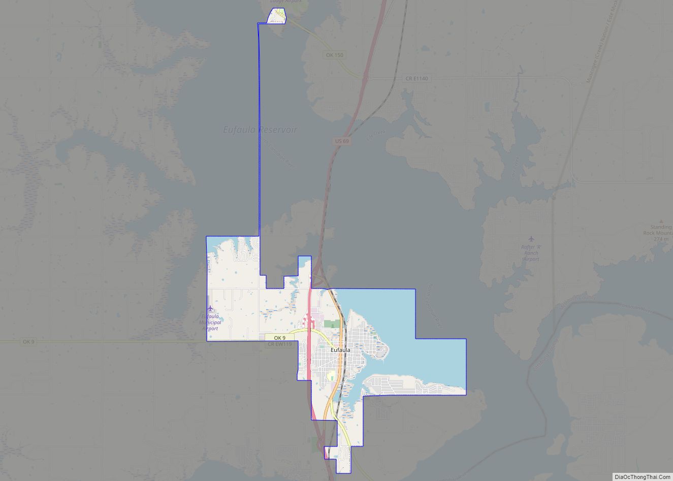
Checotah is located at an elevation of 652 feet (199 m) at the intersection of I-40 and U.S. Route 69. Nearby is Eufaula Lake, the largest-capacity lake wholly within the state of Oklahoma.
According to the United States Census Bureau, the city has a total area of 9.0 sq mi (23 km), of which 0.1 square miles (0.26 km) (0.67%) is covered by water.
See also
Map of Oklahoma State and its subdivision:- Adair
- Alfalfa
- Atoka
- Beaver
- Beckham
- Blaine
- Bryan
- Caddo
- Canadian
- Carter
- Cherokee
- Choctaw
- Cimarron
- Cleveland
- Coal
- Comanche
- Cotton
- Craig
- Creek
- Custer
- Delaware
- Dewey
- Ellis
- Garfield
- Garvin
- Grady
- Grant
- Greer
- Harmon
- Harper
- Haskell
- Hughes
- Jackson
- Jefferson
- Johnston
- Kay
- Kingfisher
- Kiowa
- Latimer
- Le Flore
- Lincoln
- Logan
- Love
- Major
- Marshall
- Mayes
- McClain
- McCurtain
- McIntosh
- Murray
- Muskogee
- Noble
- Nowata
- Okfuskee
- Oklahoma
- Okmulgee
- Osage
- Ottawa
- Pawnee
- Payne
- Pittsburg
- Pontotoc
- Pottawatomie
- Pushmataha
- Roger Mills
- Rogers
- Seminole
- Sequoyah
- Stephens
- Texas
- Tillman
- Tulsa
- Wagoner
- Washington
- Washita
- Woods
- Woodward
- Alabama
- Alaska
- Arizona
- Arkansas
- California
- Colorado
- Connecticut
- Delaware
- District of Columbia
- Florida
- Georgia
- Hawaii
- Idaho
- Illinois
- Indiana
- Iowa
- Kansas
- Kentucky
- Louisiana
- Maine
- Maryland
- Massachusetts
- Michigan
- Minnesota
- Mississippi
- Missouri
- Montana
- Nebraska
- Nevada
- New Hampshire
- New Jersey
- New Mexico
- New York
- North Carolina
- North Dakota
- Ohio
- Oklahoma
- Oregon
- Pennsylvania
- Rhode Island
- South Carolina
- South Dakota
- Tennessee
- Texas
- Utah
- Vermont
- Virginia
- Washington
- West Virginia
- Wisconsin
- Wyoming