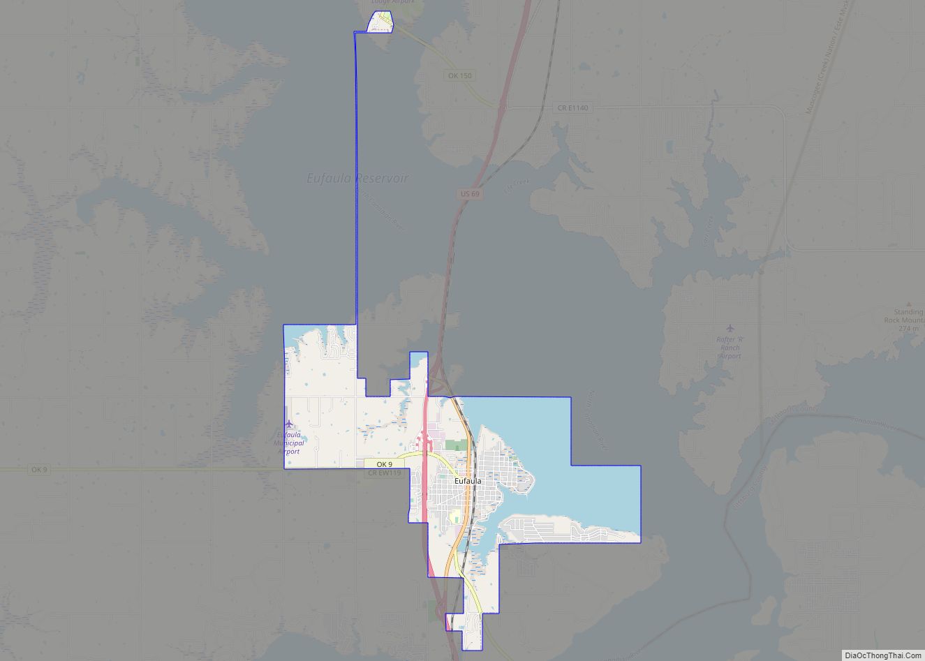
Eufaula is a city and county seat of McIntosh County, Oklahoma, United States. The population was 2,813 at the 2010 census, an increase of 6.6 percent from 2,639 in 2000. Eufaula is in the southern part of the county, 30 miles (48 km) north of McAlester and 32 miles (51 km) south of Muskogee.
The name “Eufaula” comes from the Eufaula tribe, part of the Muskogee Creek Confederacy. The town and county are within the jurisdiction of the federally recognized Muskogee (Creek) Nation, descendants of the tribe who were removed here from the Southeastern United States in the 1830s.
| Name: | Eufaula city |
|---|---|
| LSAD Code: | 25 |
| LSAD Description: | city (suffix) |
| State: | Oklahoma |
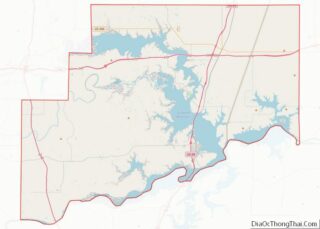
| County: | McIntosh County |
| Elevation: | 617 ft (188 m) |
| Total Area: | 9.63 sq mi (24.94 km²) |
| Land Area: | 6.59 sq mi (17.07 km²) |
| Water Area: | 3.04 sq mi (7.87 km²) |
| Population Density: | 419.60/sq mi (162.00/km²) |
| ZIP code: | 74432, 74461 |
| Area code: | 539/918 |
| FIPS code: | 4024650 |
| GNISfeature ID: | 1092651 |
| Website: | cityofeufaulaok.com |
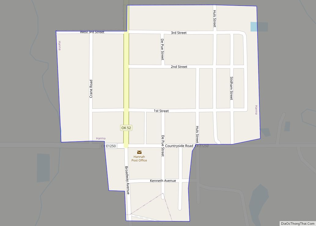
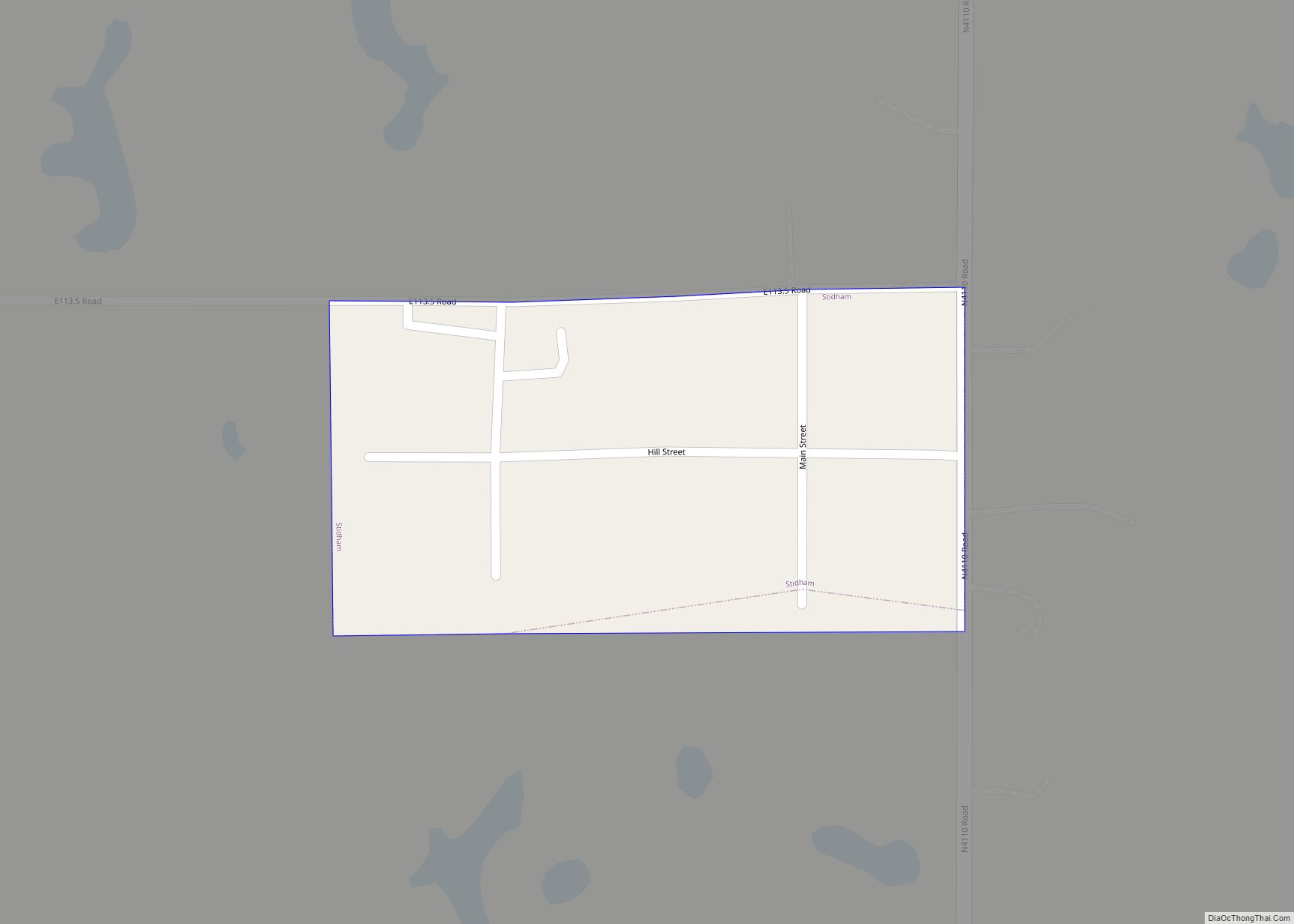
Online Interactive Map
Click on ![]() to view map in "full screen" mode.
to view map in "full screen" mode.
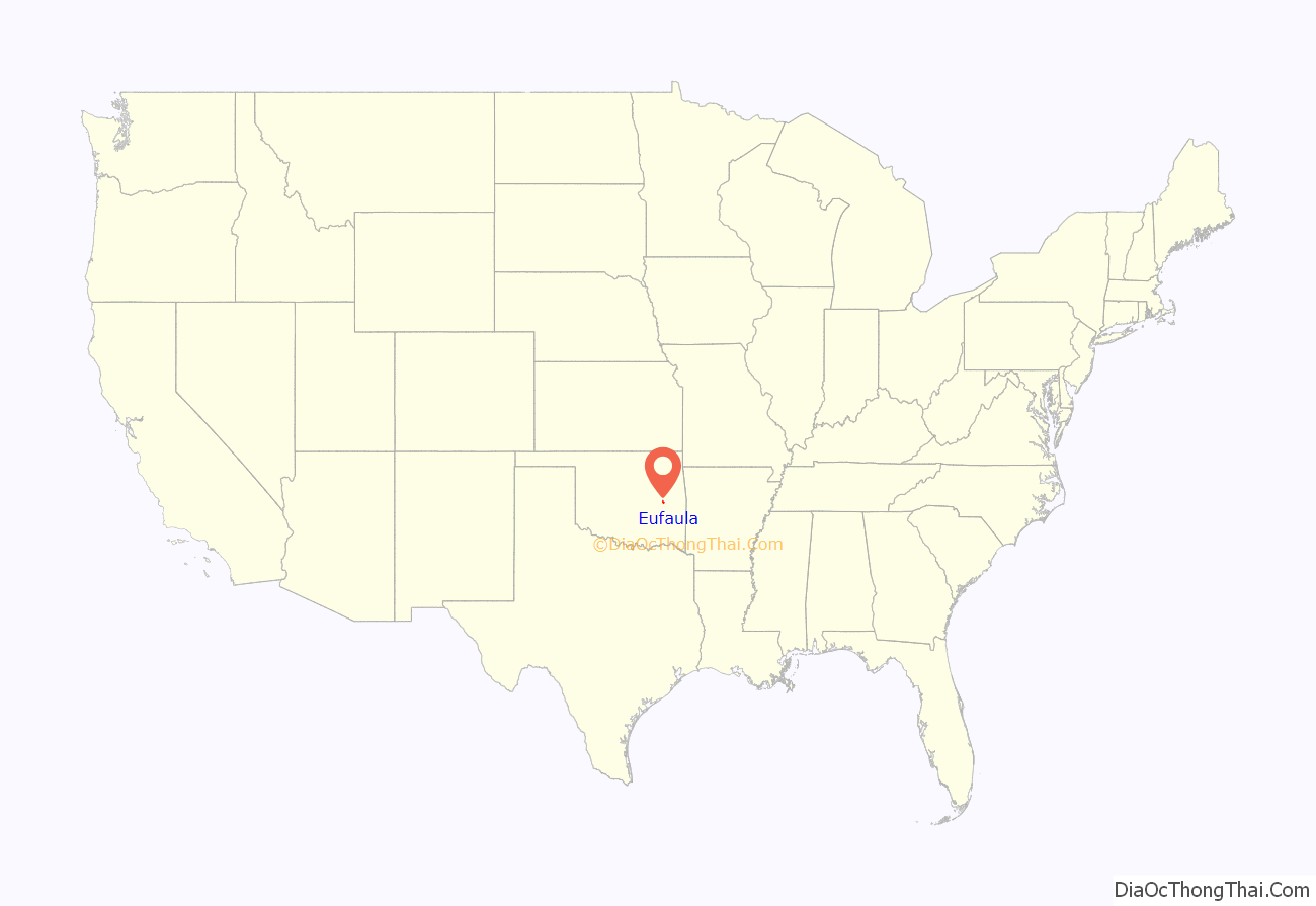
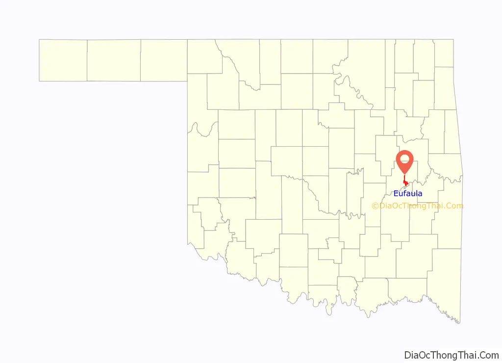
Eufaula location map. Where is Eufaula city?
History
In the Southeast, the Muskogee people (then known as Creek by European Americans) occupied a large territory including much of present-day Georgia and Alabama. By 1800, the Creek had a village named Eufala, located on Eufaula Creek, near what later developed as the present site of Talladega, Alabama. This was one of a group called their Upper Creek towns. Pickett’s History of Alabama mentions an Indian town, belonging to the Creek, which he calls Eufaulahatche. Little Eufauly is mentioned by an historian of this period as early as 1792. Another Upper Creek town called Eufaula was located on the Tallapoosa River; the present town of Dadeville, Alabama developed near there.
The Lower Creek had two villages of similar names: Eufaula on the Chattahoochee River, in what later became Henry County, Alabama; and Eufala, located on the east bank of the Chattahoochee River, within the limits of present Quitman County, Georgia.
In 1832 the U. S. Government had forced the Creek to move to Indian Territory and cede their lands in the Southeastern United States, as part of a series of cessions they had made. They established Eufaula as a center of Creek in their new territory. It was a frequent meeting place of the people, who held pow-wows or Indian conferences in that vicinity during the early days of Creek settlement.
In the 1870s G. W. Grayson, then Chief of the Creek, his brother Samuel, George Stidham and other Creek leaders, persuaded the Missouri-Kansas-Texas Railway (known as the KATY) to locate one of its stations at this site. The older Creek village was moved here to take advantage of the railroad.
Eufaula, Indian Territory (present-day Oklahoma), began to attract European Americans soon after the KATY railroad established a station here in 1872. The town was named after George W. Ingall, US Indian agent for the Five Civilized Tribes, suggested the name Eufaula, after the earlier Muscogee tribal town in Alabama. Eufaula incorporated as a town in Indian Territory by 1898.
D. B. Whitlow and Joseph Coody established the first store on the west side of the railroad. The Graysons and G. E. Seales started a store on the east side about the same time. Dr. W. H. Bailey was the first physician and druggist to locate in the new town. Rev. R. C. McGee, a Presbyterian missionary, established one of the first churches in Eufaula. He served there as minister for many years. For years before the American Civil War, the Asbury Mission School, located two miles northeast of Eufaula, was the leading educational institution of that vicinity. It was burned in an accidental fire.
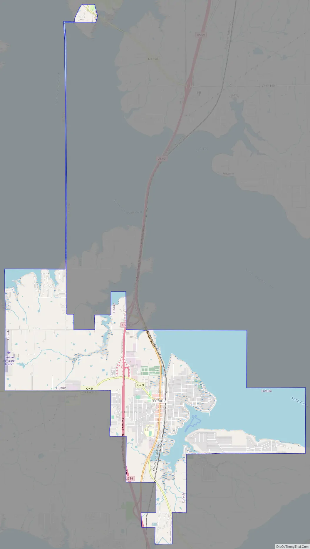
Eufaula Road Map
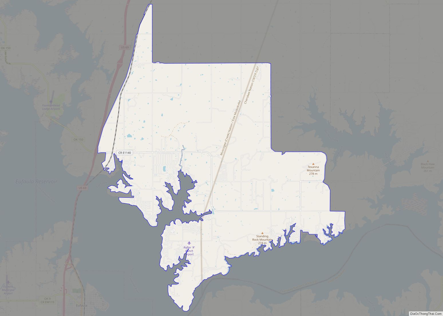
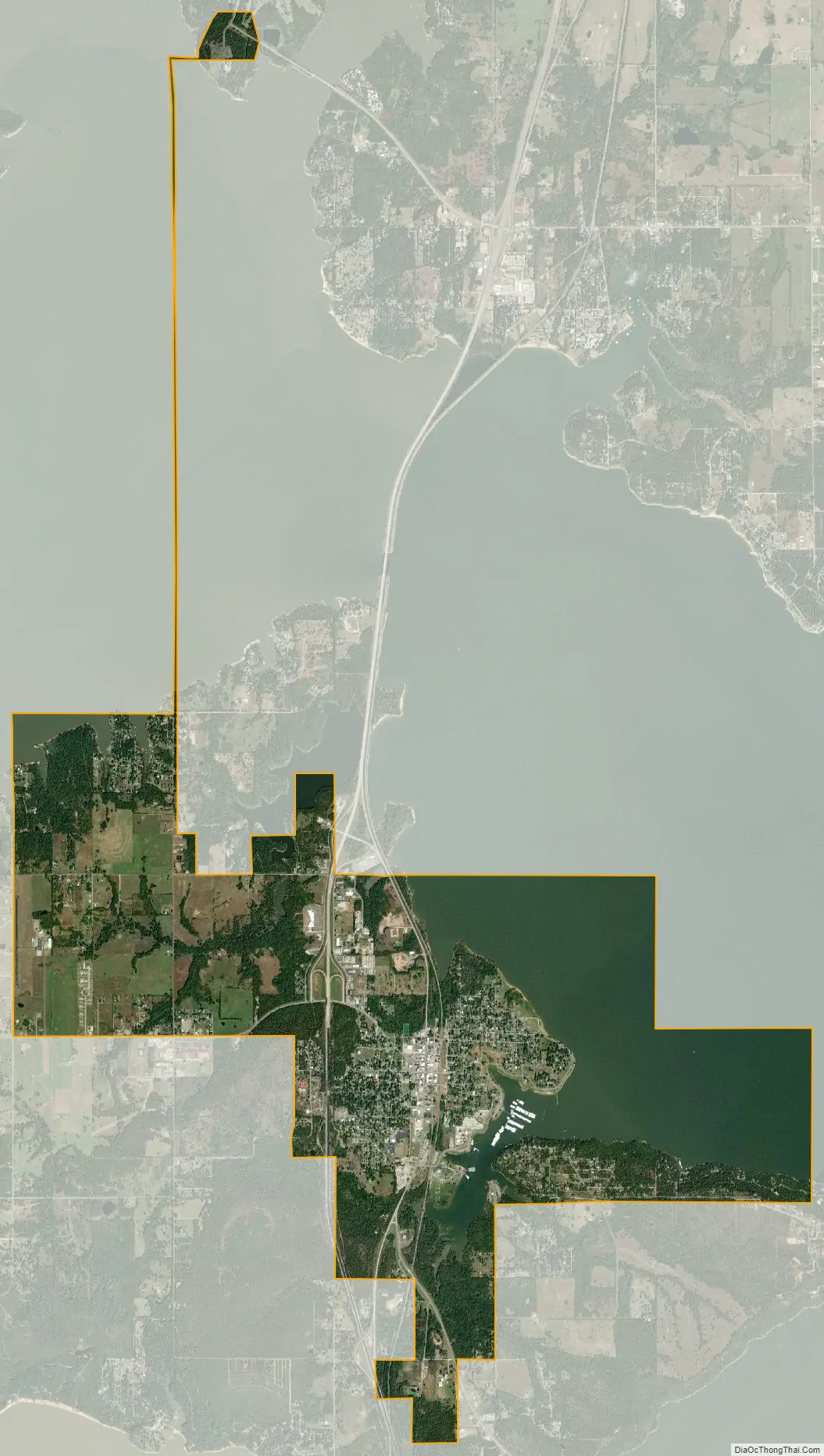
Eufaula city Satellite Map
Geography
Eufaula is located at 35°17′31″N 95°35′12″W / 35.29194°N 95.58667°W / 35.29194; -95.58667 (35.291895, -95.586528). According to the United States Census Bureau, the city has a total area of 9.6 square miles (25 km), of which 6.6 square miles (17 km) is land and 3.0 square miles (7.8 km) (31.15%) is water.
See also
Map of Oklahoma State and its subdivision:- Adair
- Alfalfa
- Atoka
- Beaver
- Beckham
- Blaine
- Bryan
- Caddo
- Canadian
- Carter
- Cherokee
- Choctaw
- Cimarron
- Cleveland
- Coal
- Comanche
- Cotton
- Craig
- Creek
- Custer
- Delaware
- Dewey
- Ellis
- Garfield
- Garvin
- Grady
- Grant
- Greer
- Harmon
- Harper
- Haskell
- Hughes
- Jackson
- Jefferson
- Johnston
- Kay
- Kingfisher
- Kiowa
- Latimer
- Le Flore
- Lincoln
- Logan
- Love
- Major
- Marshall
- Mayes
- McClain
- McCurtain
- McIntosh
- Murray
- Muskogee
- Noble
- Nowata
- Okfuskee
- Oklahoma
- Okmulgee
- Osage
- Ottawa
- Pawnee
- Payne
- Pittsburg
- Pontotoc
- Pottawatomie
- Pushmataha
- Roger Mills
- Rogers
- Seminole
- Sequoyah
- Stephens
- Texas
- Tillman
- Tulsa
- Wagoner
- Washington
- Washita
- Woods
- Woodward
- Alabama
- Alaska
- Arizona
- Arkansas
- California
- Colorado
- Connecticut
- Delaware
- District of Columbia
- Florida
- Georgia
- Hawaii
- Idaho
- Illinois
- Indiana
- Iowa
- Kansas
- Kentucky
- Louisiana
- Maine
- Maryland
- Massachusetts
- Michigan
- Minnesota
- Mississippi
- Missouri
- Montana
- Nebraska
- Nevada
- New Hampshire
- New Jersey
- New Mexico
- New York
- North Carolina
- North Dakota
- Ohio
- Oklahoma
- Oregon
- Pennsylvania
- Rhode Island
- South Carolina
- South Dakota
- Tennessee
- Texas
- Utah
- Vermont
- Virginia
- Washington
- West Virginia
- Wisconsin
- Wyoming