Gene Autry is a town in Carter County, Oklahoma, United States. The population was 158 as of the 2010 census, up from 99 in 2000. It is part of the Ardmore, Oklahoma Micropolitan Statistical Area.
| Name: | Gene Autry town |
|---|---|
| LSAD Code: | 43 |
| LSAD Description: | town (suffix) |
| State: | Oklahoma |
| County: | Carter County |
| Elevation: | 732 ft (223 m) |
| Total Area: | 4.11 sq mi (10.65 km²) |
| Land Area: | 4.04 sq mi (10.47 km²) |
| Water Area: | 0.07 sq mi (0.18 km²) |
| Total Population: | 154 |
| Population Density: | 38.10/sq mi (14.71/km²) |
| ZIP code: | 73436 |
| Area code: | 580 |
| FIPS code: | 4028950 |
| GNISfeature ID: | 1093157 |
| Website: | www.geneautry.com |
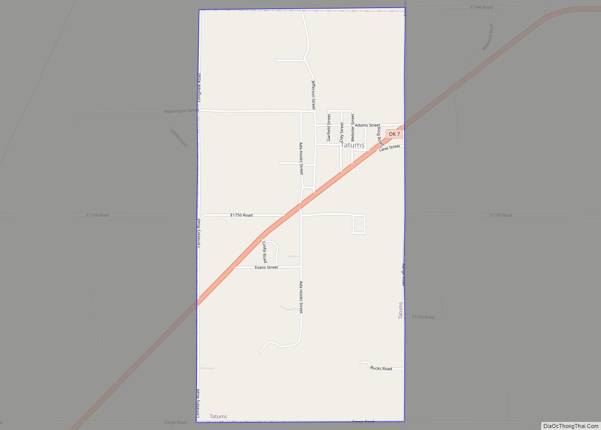
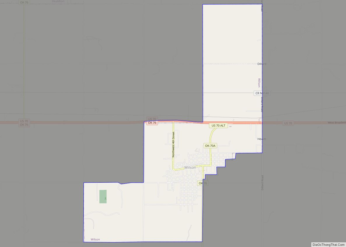
Online Interactive Map
Click on ![]() to view map in "full screen" mode.
to view map in "full screen" mode.
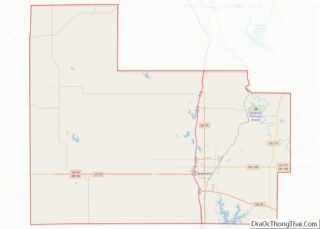
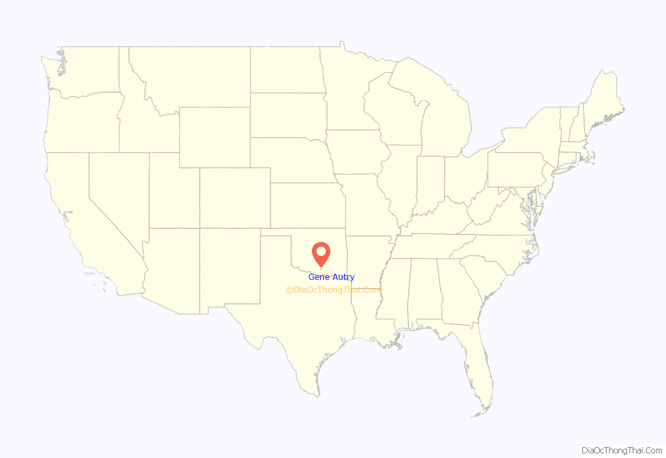
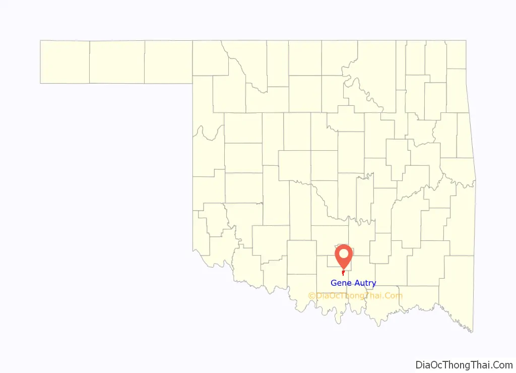
Gene Autry location map. Where is Gene Autry town?
History
The town was originally named “Lou” by C.C. Henderson for his wife; the post office was established July 11, 1883. At the time of its founding, the community was located in Pickens County, Chickasaw Nation. On November 22, 1883, it was renamed “Dresden”. The name was changed to “Berwyn” on September 1, 1887, after Berwyn, Pennsylvania, making the Oklahoma town one of several along the Santa Fe railroad line through the Territory (re)named for stations on the “Main Line” of the Pennsylvania Railroad.
Finally, on November 16, 1941, it was renamed “Gene Autry” to honor the singer and motion picture star. Though Autry was born in Tioga, Texas, his family moved to Oklahoma while he was an infant. He was raised in the southern Oklahoma towns of Achille and Ravia. Autry had also worked as a telegraph operator near Berwyn. In 1939 he bought the 1,200-acre (4.9 km) Flying A Ranch on the west edge of Berwyn, and the town decided to honor him by changing its name. Approximately 35,000 people attended the ceremonies broadcast live from the site on Autry’s Melody Ranch radio show. Expectations that Autry would make his permanent home on the ranch were heightened when Autry’s house in California burned down just 8 days before the name change ceremony, but were dashed 21 days after the ceremony with the attack on Pearl Harbor. Autry joined the military in 1942. He sold the ranch after the war. The ranch is now all but gone.
As of December 2017 Barbie Morgan was elected mayor, while former fire chief David Colaw was elected trustee and Robert Gulio was re-elected as trustee. The current town leadership is Mayor Barbie Morgan, Vice-Mayor David Colaw, and Town Councilor Tammy Byars.
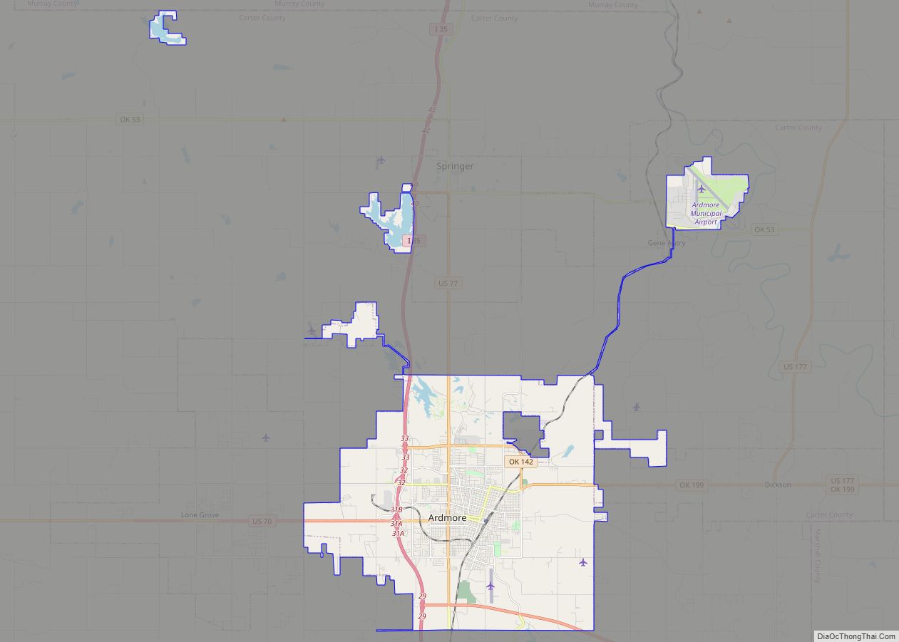
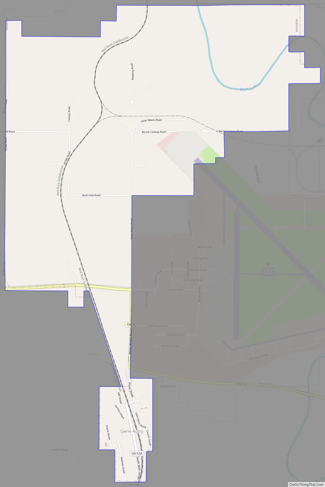
Gene Autry Road Map
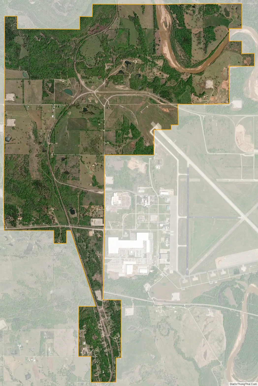
Gene Autry city Satellite Map
Geography
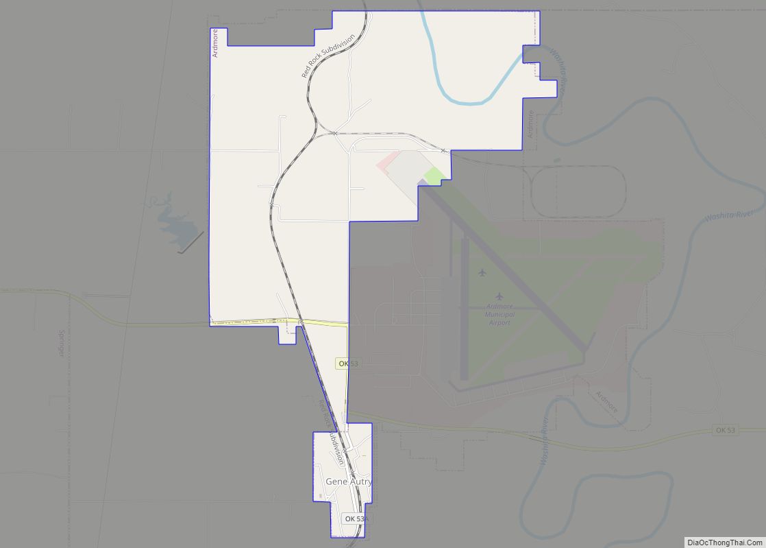
Gene Autry is located in northeastern Carter County at 34°16′55″N 97°2′13″W / 34.28194°N 97.03694°W / 34.28194; -97.03694 (34.281858, -97.036927). It is bordered to the north by Murray County. A portion of the city of Ardmore, separate from the main part of the city, borders Gene Autry to the east and contains the Ardmore Municipal Airport. The center of Ardmore is 15 miles (24 km) southwest of Gene Autry by highways 53 and 77. The Chickasaw National Recreation Area is to the north.
According to the United States Census Bureau, the town has a total area of 4.1 square miles (10.7 km), of which 4.1 square miles (10.5 km) is land and 0.08 square miles (0.2 km), or 1.72%, is water. The town’s area has expanded significantly to the north of its original location since the 2000 census, when it was 0.3 square miles (0.78 km), all land. The Washita River cuts across the northeast corner of the town, flowing southeast toward Lake Texoma on the Texas border.
Climate
See also
Map of Oklahoma State and its subdivision:- Adair
- Alfalfa
- Atoka
- Beaver
- Beckham
- Blaine
- Bryan
- Caddo
- Canadian
- Carter
- Cherokee
- Choctaw
- Cimarron
- Cleveland
- Coal
- Comanche
- Cotton
- Craig
- Creek
- Custer
- Delaware
- Dewey
- Ellis
- Garfield
- Garvin
- Grady
- Grant
- Greer
- Harmon
- Harper
- Haskell
- Hughes
- Jackson
- Jefferson
- Johnston
- Kay
- Kingfisher
- Kiowa
- Latimer
- Le Flore
- Lincoln
- Logan
- Love
- Major
- Marshall
- Mayes
- McClain
- McCurtain
- McIntosh
- Murray
- Muskogee
- Noble
- Nowata
- Okfuskee
- Oklahoma
- Okmulgee
- Osage
- Ottawa
- Pawnee
- Payne
- Pittsburg
- Pontotoc
- Pottawatomie
- Pushmataha
- Roger Mills
- Rogers
- Seminole
- Sequoyah
- Stephens
- Texas
- Tillman
- Tulsa
- Wagoner
- Washington
- Washita
- Woods
- Woodward
- Alabama
- Alaska
- Arizona
- Arkansas
- California
- Colorado
- Connecticut
- Delaware
- District of Columbia
- Florida
- Georgia
- Hawaii
- Idaho
- Illinois
- Indiana
- Iowa
- Kansas
- Kentucky
- Louisiana
- Maine
- Maryland
- Massachusetts
- Michigan
- Minnesota
- Mississippi
- Missouri
- Montana
- Nebraska
- Nevada
- New Hampshire
- New Jersey
- New Mexico
- New York
- North Carolina
- North Dakota
- Ohio
- Oklahoma
- Oregon
- Pennsylvania
- Rhode Island
- South Carolina
- South Dakota
- Tennessee
- Texas
- Utah
- Vermont
- Virginia
- Washington
- West Virginia
- Wisconsin
- Wyoming