Dickson is a town in Carter County, Oklahoma, United States. The population was 1,207 at the 2010 census. It is part of the Ardmore, Oklahoma Micropolitan Statistical Area.
| Name: | Dickson town |
|---|---|
| LSAD Code: | 43 |
| LSAD Description: | town (suffix) |
| State: | Oklahoma |
| County: | Carter County |
| Total Area: | 14.08 sq mi (36.47 km²) |
| Land Area: | 13.96 sq mi (36.17 km²) |
| Water Area: | 0.12 sq mi (0.30 km²) |
| Total Population: | 1,331 |
| Population Density: | 95.31/sq mi (36.80/km²) |
| ZIP code: | 73401 |
| Area code: | 580 |
| FIPS code: | 4020700 |
| GNISfeature ID: | 1092086 |
Online Interactive Map
Click on ![]() to view map in "full screen" mode.
to view map in "full screen" mode.
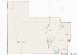
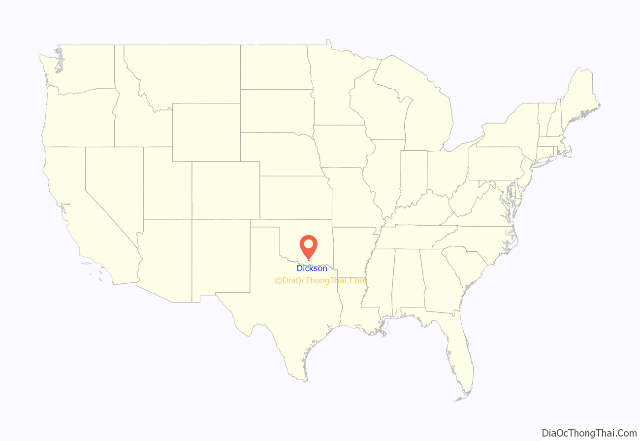
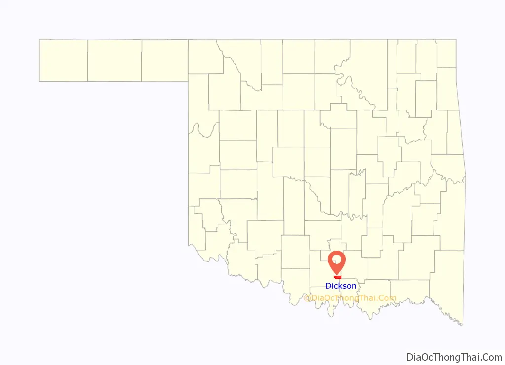
Dickson location map. Where is Dickson town?
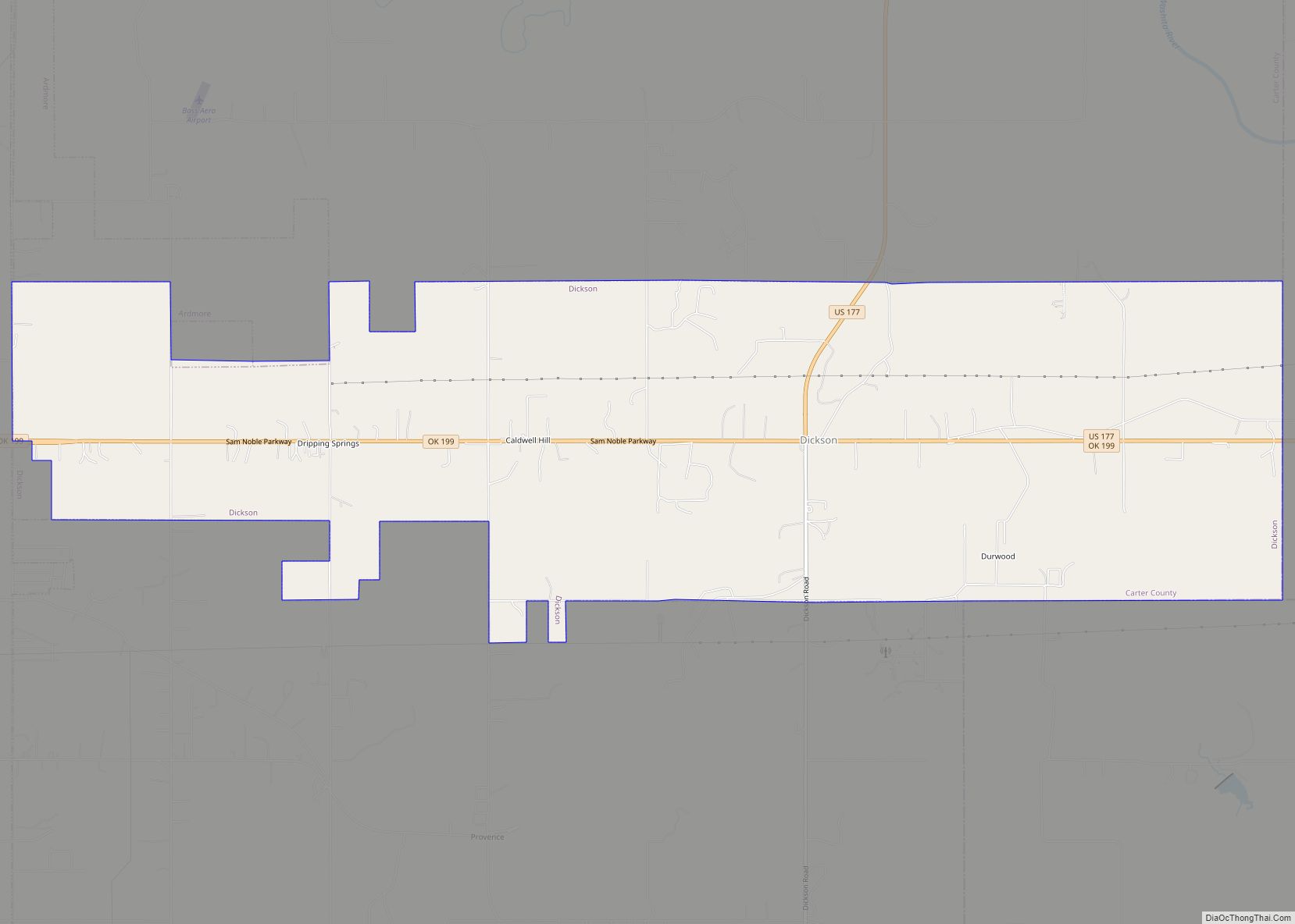
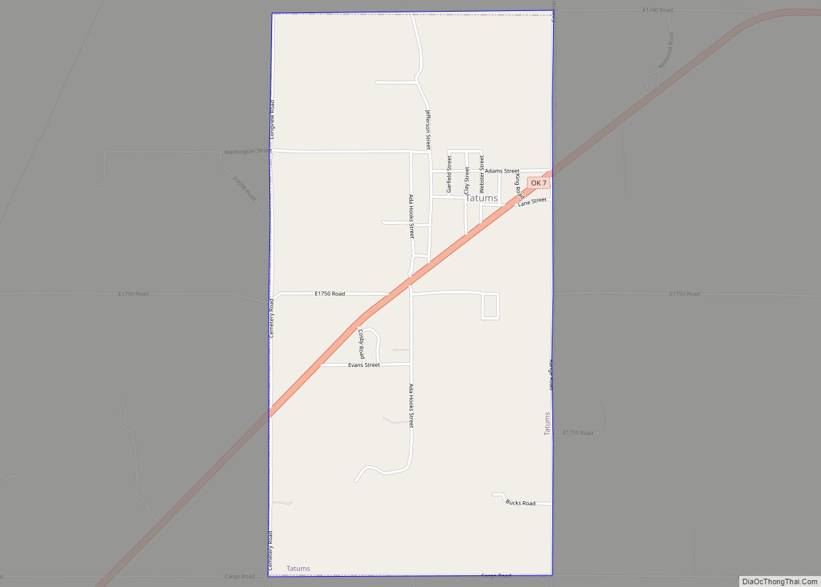
Dickson Road Map
Dickson city Satellite Map

Geography
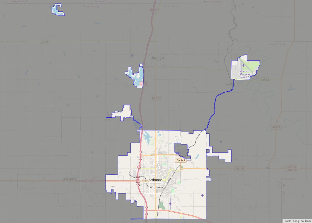
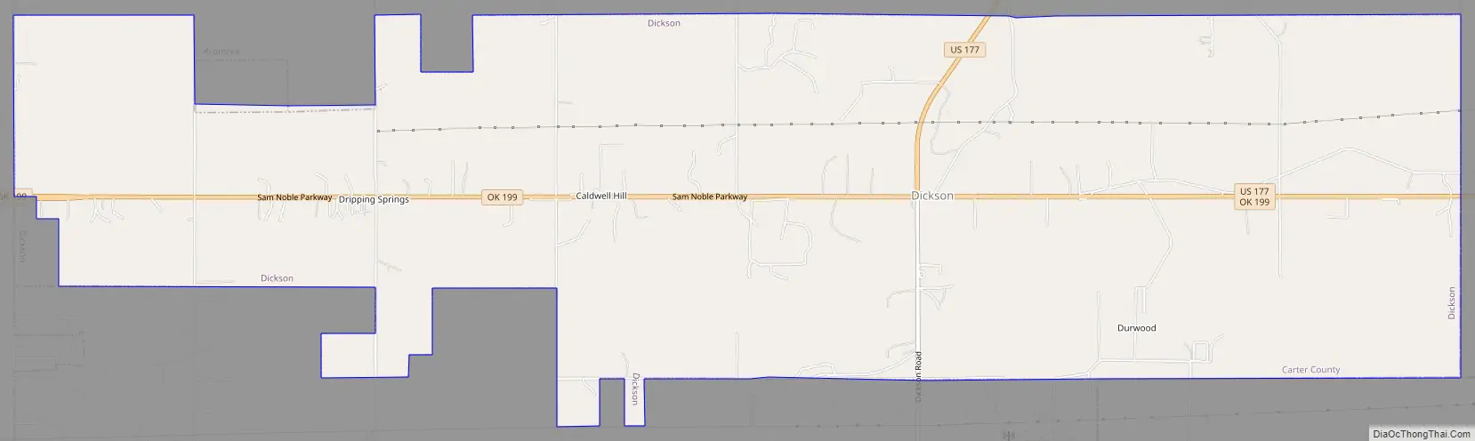
Dickson is located at the eastern end of Carter County, at 34°11′32″N 96°59′28″W / 34.19222°N 96.99111°W / 34.19222; -96.99111 (34.192140, -96.991160). It is bordered to the west by Ardmore, the county seat, to the east by Mannsville in Johnston County, and to the south partially by Marshall County.
U.S. Route 177 passes through the center of town, leading north 23 miles (37 km) to Sulphur and southeast 16 miles (26 km) to Madill. Oklahoma State Highway 199 leads west from the center of Dickson 10 miles (16 km) to the center of Ardmore.
According to the United States Census Bureau, Dickson has a total area of 14.1 square miles (36.5 km), of which 14.0 square miles (36.2 km) is land and 0.12 square miles (0.3 km), or 0.81%, is water.
See also
Map of Oklahoma State and its subdivision:- Adair
- Alfalfa
- Atoka
- Beaver
- Beckham
- Blaine
- Bryan
- Caddo
- Canadian
- Carter
- Cherokee
- Choctaw
- Cimarron
- Cleveland
- Coal
- Comanche
- Cotton
- Craig
- Creek
- Custer
- Delaware
- Dewey
- Ellis
- Garfield
- Garvin
- Grady
- Grant
- Greer
- Harmon
- Harper
- Haskell
- Hughes
- Jackson
- Jefferson
- Johnston
- Kay
- Kingfisher
- Kiowa
- Latimer
- Le Flore
- Lincoln
- Logan
- Love
- Major
- Marshall
- Mayes
- McClain
- McCurtain
- McIntosh
- Murray
- Muskogee
- Noble
- Nowata
- Okfuskee
- Oklahoma
- Okmulgee
- Osage
- Ottawa
- Pawnee
- Payne
- Pittsburg
- Pontotoc
- Pottawatomie
- Pushmataha
- Roger Mills
- Rogers
- Seminole
- Sequoyah
- Stephens
- Texas
- Tillman
- Tulsa
- Wagoner
- Washington
- Washita
- Woods
- Woodward
- Alabama
- Alaska
- Arizona
- Arkansas
- California
- Colorado
- Connecticut
- Delaware
- District of Columbia
- Florida
- Georgia
- Hawaii
- Idaho
- Illinois
- Indiana
- Iowa
- Kansas
- Kentucky
- Louisiana
- Maine
- Maryland
- Massachusetts
- Michigan
- Minnesota
- Mississippi
- Missouri
- Montana
- Nebraska
- Nevada
- New Hampshire
- New Jersey
- New Mexico
- New York
- North Carolina
- North Dakota
- Ohio
- Oklahoma
- Oregon
- Pennsylvania
- Rhode Island
- South Carolina
- South Dakota
- Tennessee
- Texas
- Utah
- Vermont
- Virginia
- Washington
- West Virginia
- Wisconsin
- Wyoming