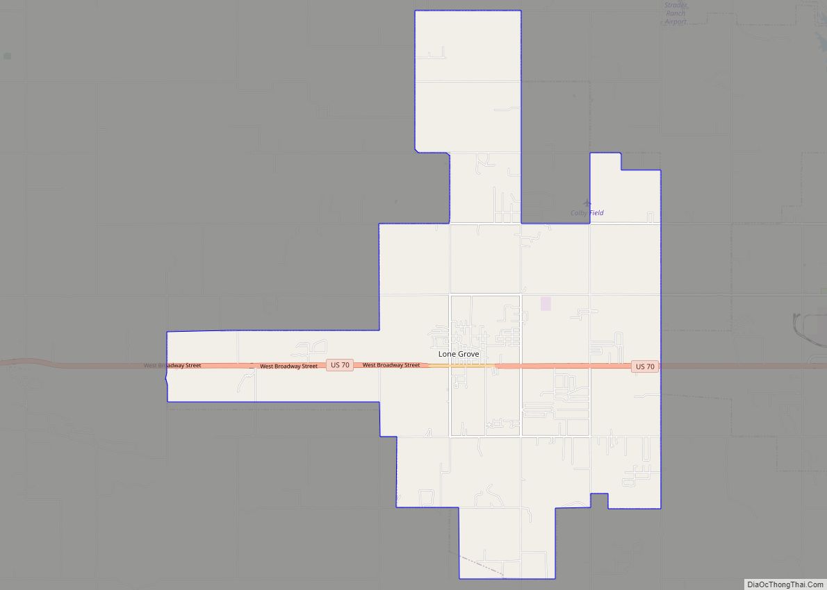
Lone Grove is a city in Carter County, Oklahoma, United States. The population was 5,054 at the 2010 census. It is part of the Micropolitan Statistical Area of Ardmore.
The city, located 7 miles (11 km) west of Ardmore on U.S. Route 70, is a bedroom community, with many residents employed in Ardmore.
| Name: | Lone Grove city |
|---|---|
| LSAD Code: | 25 |
| LSAD Description: | city (suffix) |
| State: | Oklahoma |
| County: | Carter County |
| Elevation: | 948 ft (289 m) |
| Total Area: | 24.91 sq mi (64.52 km²) |
| Land Area: | 24.84 sq mi (64.35 km²) |
| Water Area: | 0.07 sq mi (0.17 km²) |
| Total Population: | 4,993 |
| Population Density: | 200.97/sq mi (77.60/km²) |
| ZIP code: | 73443 |
| Area code: | 580 |
| FIPS code: | 4043750 |
| GNISfeature ID: | 1094903 |
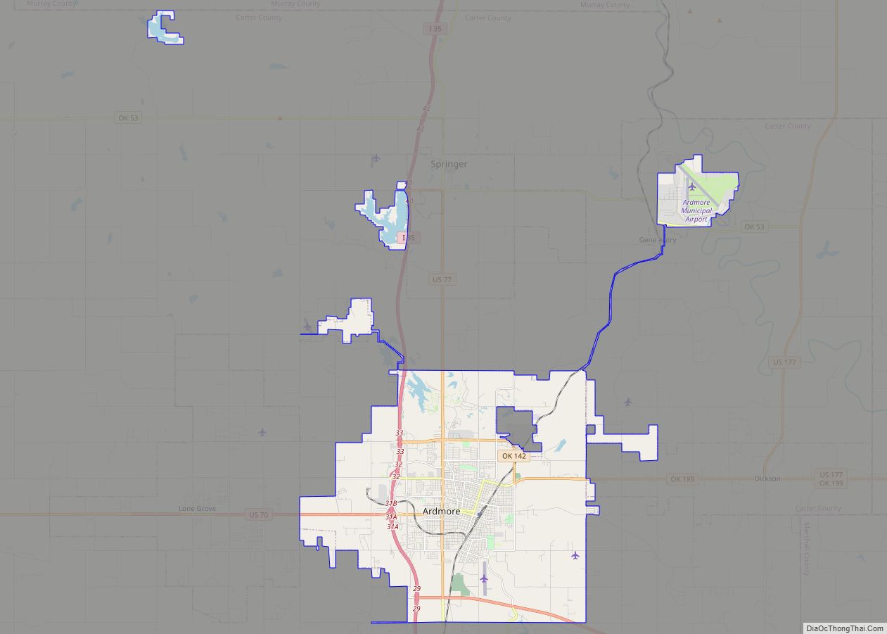
Online Interactive Map
Click on ![]() to view map in "full screen" mode.
to view map in "full screen" mode.
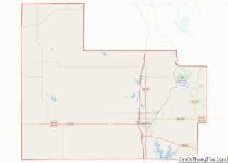
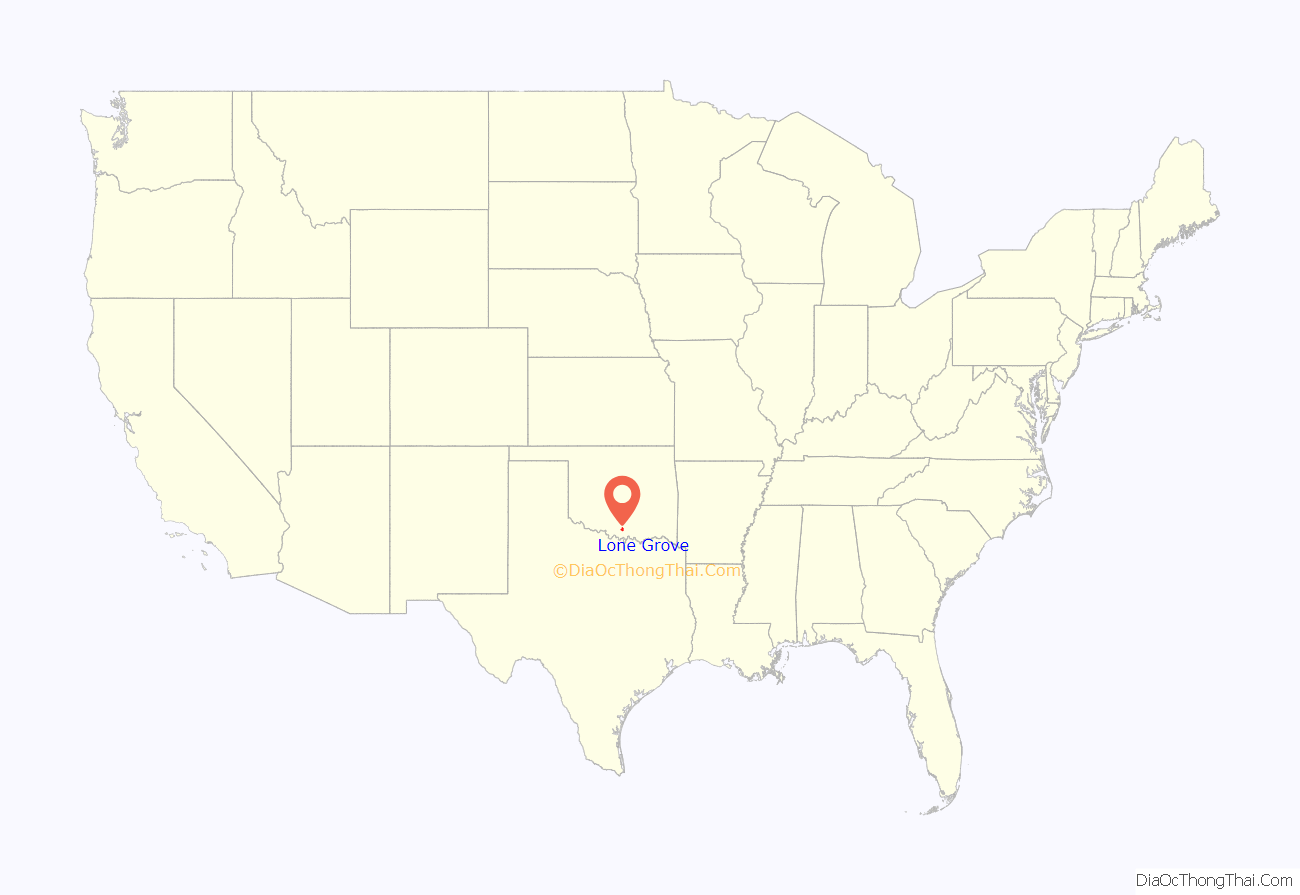
Lone Grove location map. Where is Lone Grove city?

History
Lone Grove is built on the site of a former village located in Pickens County, Chickasaw Nation in the Indian Territory, near a stand of cedar trees. The town was founded and a post office was established in Lone Grove on February 4, 1885. Prior to that the community was named “Price’s Store”, after local general mercantile owner Dayton ” Big Spicy” James. A fire destroyed many of the Lone Grove businesses and some homes on February 30, 1899.
The city’s population was reported at 215 in a 1905 geological survey of the territory. During the early 1900s local businesses included three grocery stores, a barbershop, a drugstore, a movie theater, a blacksmith shop, and three doctors. Numerous oil pools, including the Healdton and Hewitt fields, were discovered nearby during the 1910s and 1920s, and the Oklahoma, New Mexico and Pacific Railway reached town in 1913. (Popularly called the Ringling Railroad for financial backer John Nicholas Ringling, the line was later acquired by the Atchison, Topeka and Santa Fe Railway and was abandoned in 1976.) During the 1920s the community grew with the addition of a two-story Masonic Lodge building, a wagonyard, a restaurant, a grist mill, a cleaning and press shop, and an automobile garage and gasoline filling station.
February 2009 tornado
On February 10, 2009, a tornado killed eight people in Lone Grove. The National Weather Service rated the tornado EF4 with peak winds in excess of 165 miles per hour (266 km/h). According to the Lone Grove city manager 114 mobile homes were destroyed, and 46 people were injured.
The tornado occurred at 7:30 p.m. (CST) killing 8 and leaving 14 seriously injured. Seven were killed in Lone Grove, and the other was a truck driver passing through the area. Although tornadoes are not new to the area, they are very unusual in February, and many residents were caught off guard, despite the tornado sirens. According to the National Weather Service since 1950, the state has been struck by 44 tornadoes in the month of February.
Lone Grove Road Map

Lone Grove city Satellite Map

Geography
Lone Grove is located south of the geographic center of Carter County, at 34°10′39″N 97°14′55″W / 34.17750°N 97.24861°W / 34.17750; -97.24861 (34.177474, -97.248666). U.S. Highway 70 runs through the center of town, leading east 7 miles (11 km) to Ardmore, the county seat, and west 43 miles (69 km) to Waurika.
According to the United States Census Bureau, the city has a total area of 27.6 square miles (71.4 km), of which 27.5 square miles (71.2 km) is land and 0.08 square miles (0.2 km), or 0.31%, is water.
See also
Map of Oklahoma State and its subdivision:- Adair
- Alfalfa
- Atoka
- Beaver
- Beckham
- Blaine
- Bryan
- Caddo
- Canadian
- Carter
- Cherokee
- Choctaw
- Cimarron
- Cleveland
- Coal
- Comanche
- Cotton
- Craig
- Creek
- Custer
- Delaware
- Dewey
- Ellis
- Garfield
- Garvin
- Grady
- Grant
- Greer
- Harmon
- Harper
- Haskell
- Hughes
- Jackson
- Jefferson
- Johnston
- Kay
- Kingfisher
- Kiowa
- Latimer
- Le Flore
- Lincoln
- Logan
- Love
- Major
- Marshall
- Mayes
- McClain
- McCurtain
- McIntosh
- Murray
- Muskogee
- Noble
- Nowata
- Okfuskee
- Oklahoma
- Okmulgee
- Osage
- Ottawa
- Pawnee
- Payne
- Pittsburg
- Pontotoc
- Pottawatomie
- Pushmataha
- Roger Mills
- Rogers
- Seminole
- Sequoyah
- Stephens
- Texas
- Tillman
- Tulsa
- Wagoner
- Washington
- Washita
- Woods
- Woodward
- Alabama
- Alaska
- Arizona
- Arkansas
- California
- Colorado
- Connecticut
- Delaware
- District of Columbia
- Florida
- Georgia
- Hawaii
- Idaho
- Illinois
- Indiana
- Iowa
- Kansas
- Kentucky
- Louisiana
- Maine
- Maryland
- Massachusetts
- Michigan
- Minnesota
- Mississippi
- Missouri
- Montana
- Nebraska
- Nevada
- New Hampshire
- New Jersey
- New Mexico
- New York
- North Carolina
- North Dakota
- Ohio
- Oklahoma
- Oregon
- Pennsylvania
- Rhode Island
- South Carolina
- South Dakota
- Tennessee
- Texas
- Utah
- Vermont
- Virginia
- Washington
- West Virginia
- Wisconsin
- Wyoming