Gerty is a town in southern Hughes County, Oklahoma, United States. The population was 118 at the 2010 census.
| Name: | Gerty town |
|---|---|
| LSAD Code: | 43 |
| LSAD Description: | town (suffix) |
| State: | Oklahoma |
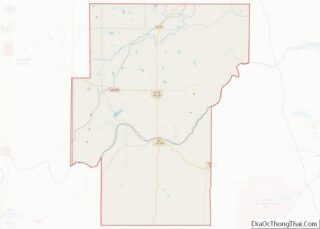
| County: | Hughes County |
| Elevation: | 843 ft (257 m) |
| Total Area: | 0.25 sq mi (0.65 km²) |
| Land Area: | 0.25 sq mi (0.65 km²) |
| Water Area: | 0.00 sq mi (0.00 km²) |
| Total Population: | 92 |
| Population Density: | 363.64/sq mi (140.55/km²) |
| FIPS code: | 4029150 |
| GNISfeature ID: | 1093171 |
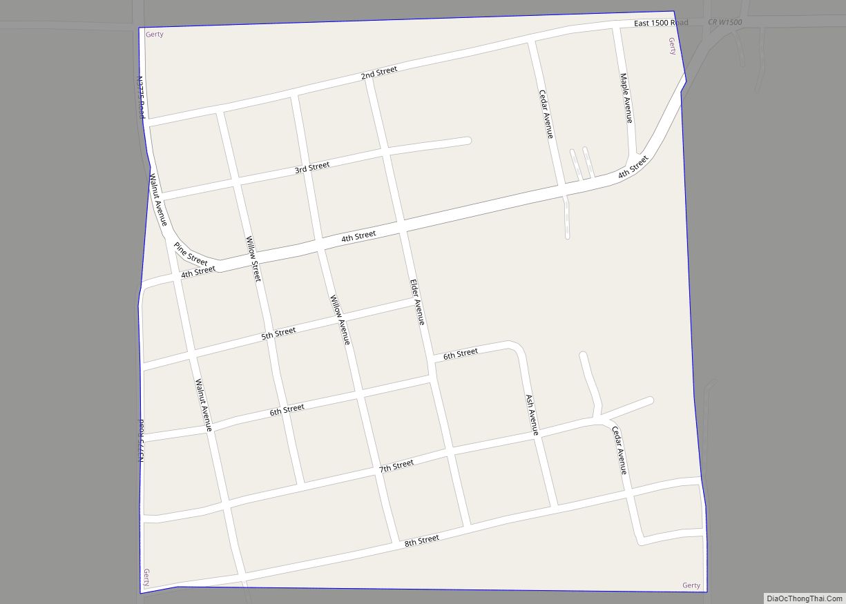
Online Interactive Map
Click on ![]() to view map in "full screen" mode.
to view map in "full screen" mode.
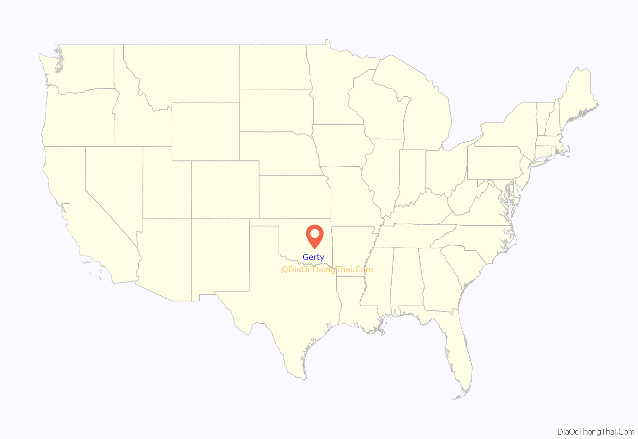
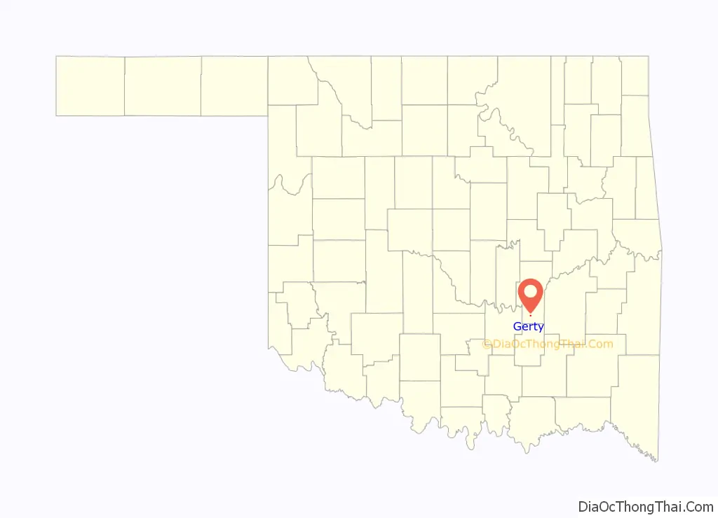
Gerty location map. Where is Gerty town?
History
During the early 1830s, as a result of President Andrew Johnson’s Indian Relocation policy, the Choctaw Indians began moving into this part of what was called Indian Territory. One Choctaw community, then called “Buzzard Flop,” became a rest stop for travelers and freight wagons headed westward. The site provided ample clear spring water and adequate level ground on which to camp. The Choctaws also found that the site was suitable cattle country, and several families built ranches in the area.
By 1880, the Choctaws had found that this made ideal country of cattle raising. In 1891 the Chicago, Rock Island and Pacific Railway (also known as the CRI&P or “Rock Island”) built an east-west line ten miles north of Guertie. In 1893 James S. Raydon, a Choctaw who had already received his allotment of land from the Dawes Commission, built a log cabin, put in a store, and established a post office. The latter was approved by the federal government on June 15, 1894, and called “Guertie”, for Raydon’s daughter. Raydon was the first postmaster.
After the Dawes Commission had finished allotting land to eligible Choctaws, George Sorrell sold his quarter section, containing Guertie, to the federal government. The townsite was then surveyed and the lots sold, stimulating settlement. In December 1907 the town name was changed to Raydon. In that year of statehood the town had population of 600, four general mercantile stores, three hotels, three drug stores, two blacksmith shops, three active lodges, three churches, a hospital, a bank, a café, a sawmill, and a newspaper called the Guertie News. Because citizens began to get mail intended for an office name “Ragan”, in June 1910 the Post Office Department changed the name back to Guertie and then changed the spelling to Gerty, to avoid confusion with Guthrie in Logan County.
Gerty has not showed a clear trend of population since its establishment. It first appeared in the U.S. census of 1910, showing a population of 305. The number declined to 137 by 1930, before rising to 206 by 1960. It has never reached 200 in the census between 1960 and the present.
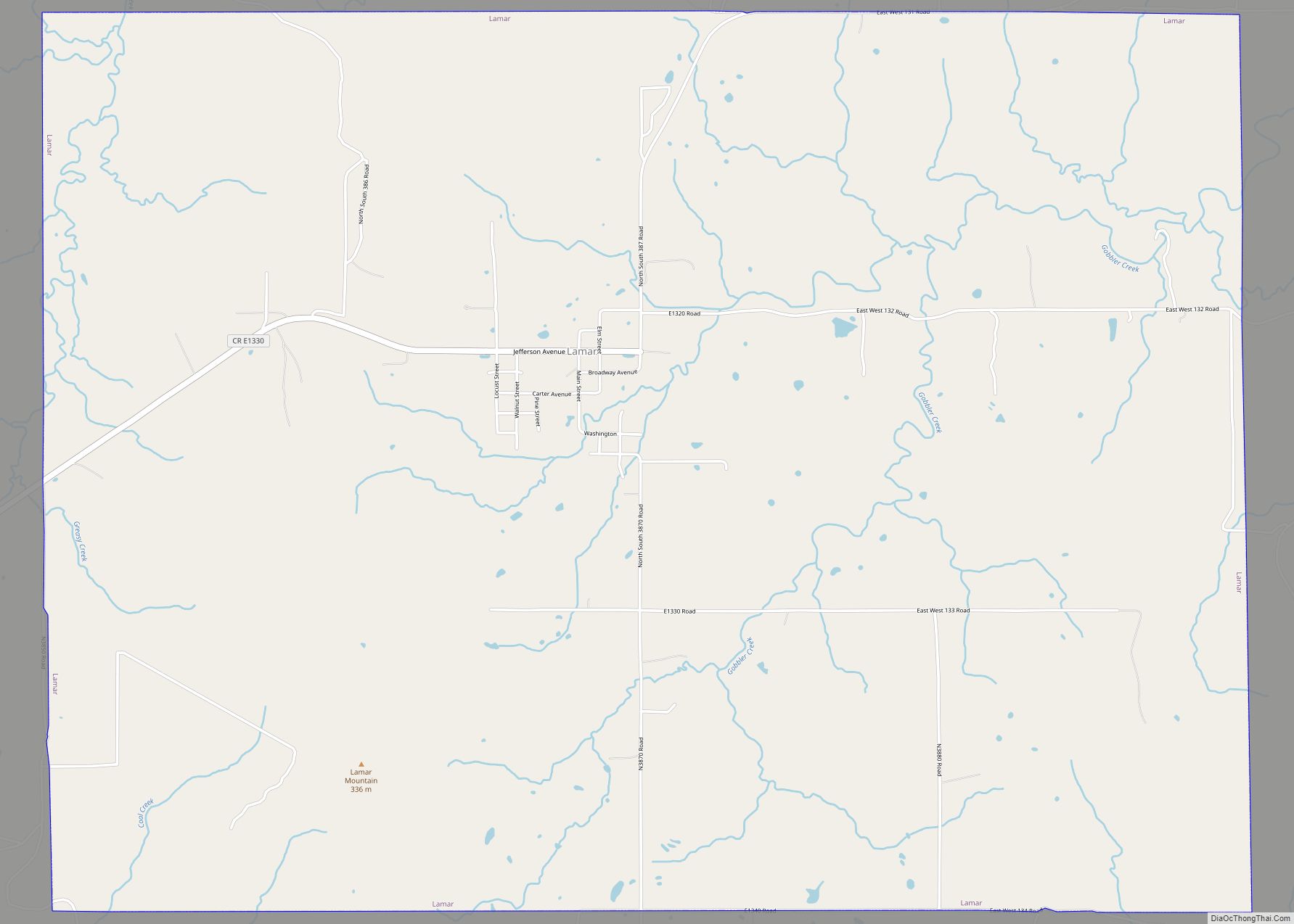
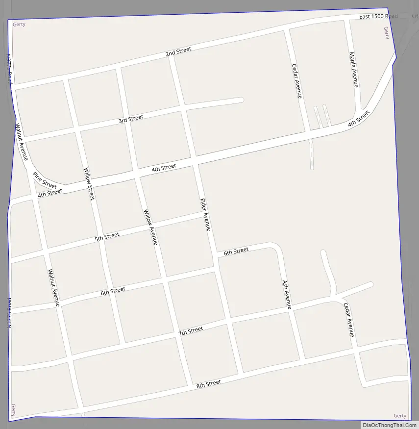
Gerty Road Map
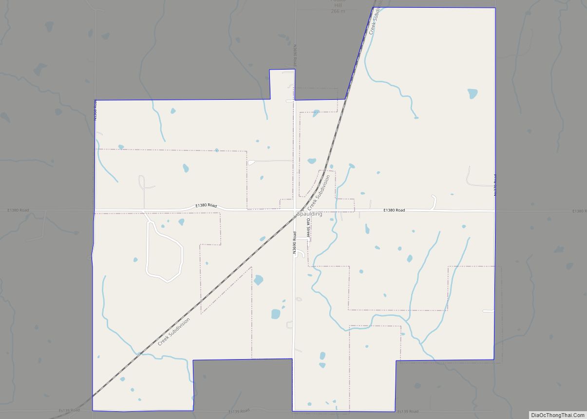
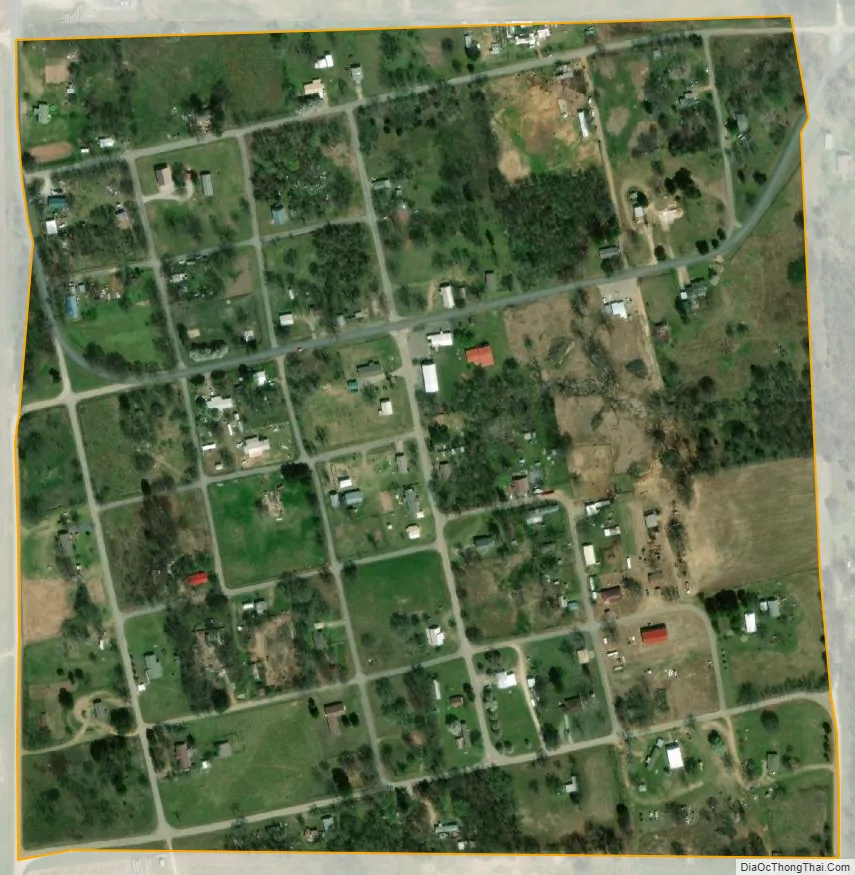
Gerty city Satellite Map
Geography
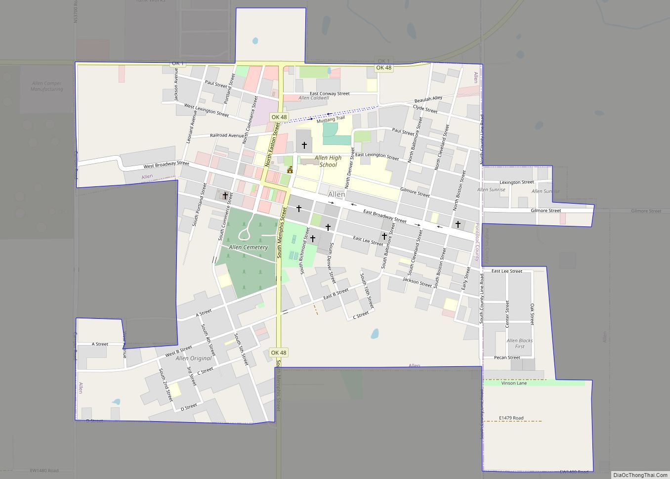
Gerty is located in southern Hughes County at 34°50′10″N 96°17′24″W / 34.83611°N 96.29000°W / 34.83611; -96.29000 (34.836064, -96.289900). It is 2 miles (3 km) west of U.S. Route 75, 8 miles (13 km) southeast of Allen, 17 miles (27 km) southeast of Holdenville and 12 miles (19 km) south of Calvin.
According to the United States Census Bureau, the town of Gerty has a total area of 0.2 square miles (0.6 km), all land. The town drains south to Panther Creek, a tributary of Muddy Boggy Creek and part of the Red River watershed.
See also
Map of Oklahoma State and its subdivision:- Adair
- Alfalfa
- Atoka
- Beaver
- Beckham
- Blaine
- Bryan
- Caddo
- Canadian
- Carter
- Cherokee
- Choctaw
- Cimarron
- Cleveland
- Coal
- Comanche
- Cotton
- Craig
- Creek
- Custer
- Delaware
- Dewey
- Ellis
- Garfield
- Garvin
- Grady
- Grant
- Greer
- Harmon
- Harper
- Haskell
- Hughes
- Jackson
- Jefferson
- Johnston
- Kay
- Kingfisher
- Kiowa
- Latimer
- Le Flore
- Lincoln
- Logan
- Love
- Major
- Marshall
- Mayes
- McClain
- McCurtain
- McIntosh
- Murray
- Muskogee
- Noble
- Nowata
- Okfuskee
- Oklahoma
- Okmulgee
- Osage
- Ottawa
- Pawnee
- Payne
- Pittsburg
- Pontotoc
- Pottawatomie
- Pushmataha
- Roger Mills
- Rogers
- Seminole
- Sequoyah
- Stephens
- Texas
- Tillman
- Tulsa
- Wagoner
- Washington
- Washita
- Woods
- Woodward
- Alabama
- Alaska
- Arizona
- Arkansas
- California
- Colorado
- Connecticut
- Delaware
- District of Columbia
- Florida
- Georgia
- Hawaii
- Idaho
- Illinois
- Indiana
- Iowa
- Kansas
- Kentucky
- Louisiana
- Maine
- Maryland
- Massachusetts
- Michigan
- Minnesota
- Mississippi
- Missouri
- Montana
- Nebraska
- Nevada
- New Hampshire
- New Jersey
- New Mexico
- New York
- North Carolina
- North Dakota
- Ohio
- Oklahoma
- Oregon
- Pennsylvania
- Rhode Island
- South Carolina
- South Dakota
- Tennessee
- Texas
- Utah
- Vermont
- Virginia
- Washington
- West Virginia
- Wisconsin
- Wyoming