Calvin is a town in Hughes County, Oklahoma, United States. The population was 294 at the 2010 census.
| Name: | Calvin town |
|---|---|
| LSAD Code: | 43 |
| LSAD Description: | town (suffix) |
| State: | Oklahoma |
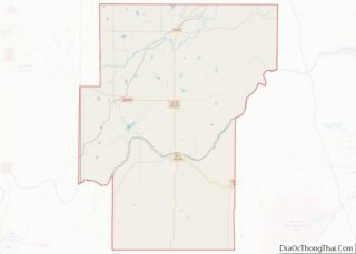
| County: | Hughes County |
| Elevation: | 741 ft (226 m) |
| Total Area: | 0.90 sq mi (2.34 km²) |
| Land Area: | 0.90 sq mi (2.33 km²) |
| Water Area: | 0.00 sq mi (0.00 km²) |
| Total Population: | 309 |
| Population Density: | 342.95/sq mi (132.44/km²) |
| ZIP code: | 74531 |
| Area code: | 405 |
| FIPS code: | 4011100 |
| GNISfeature ID: | 1090824 |
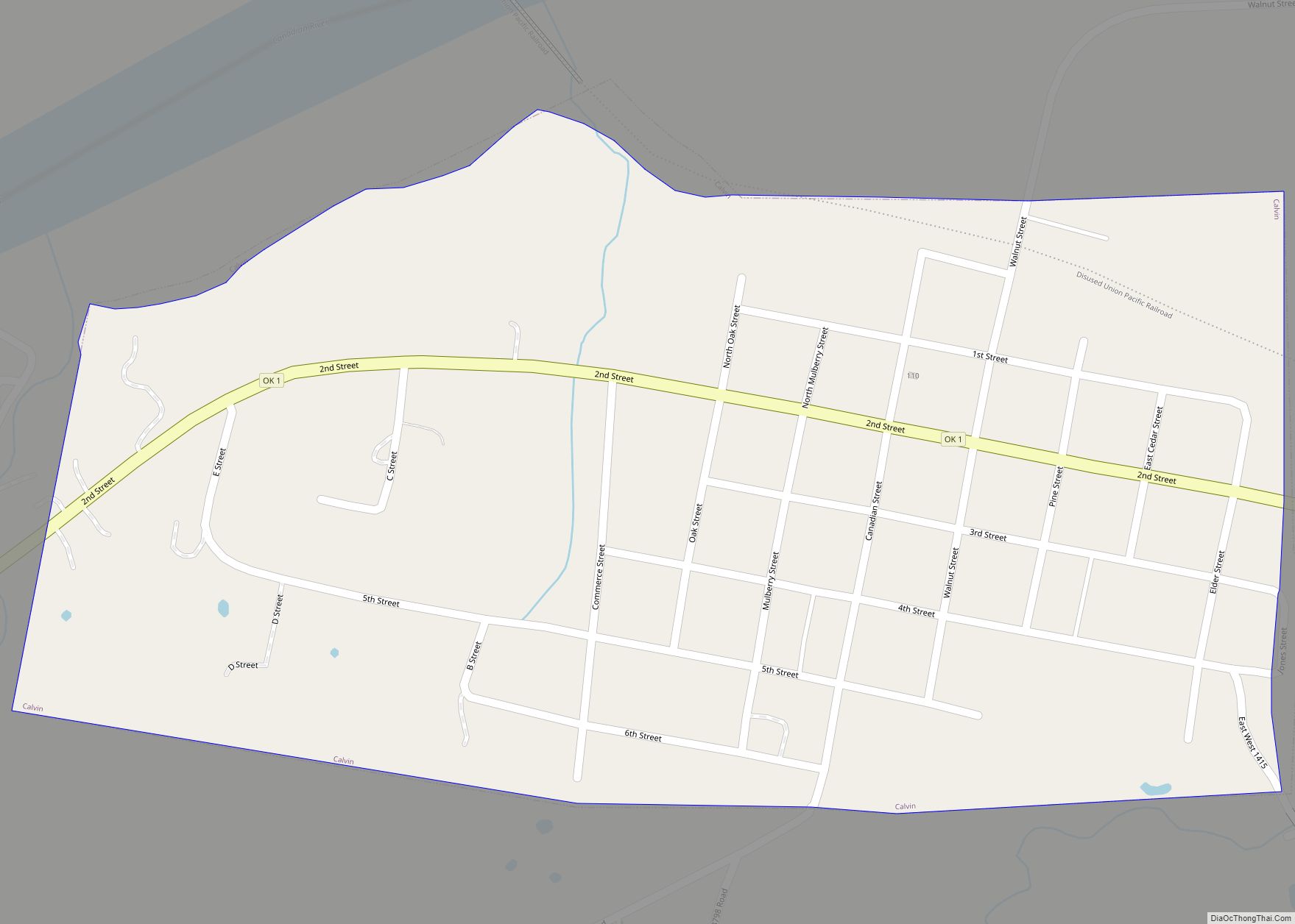
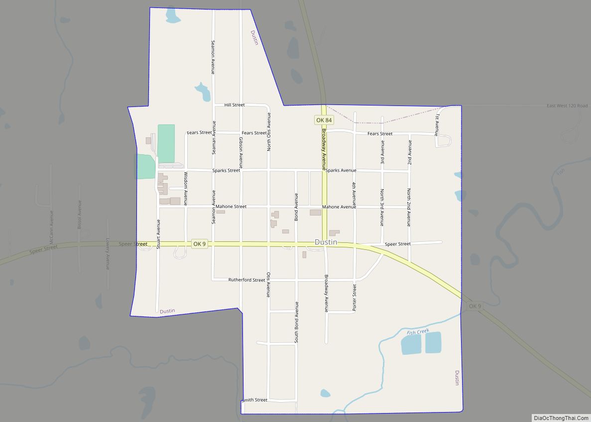
Online Interactive Map
Click on ![]() to view map in "full screen" mode.
to view map in "full screen" mode.
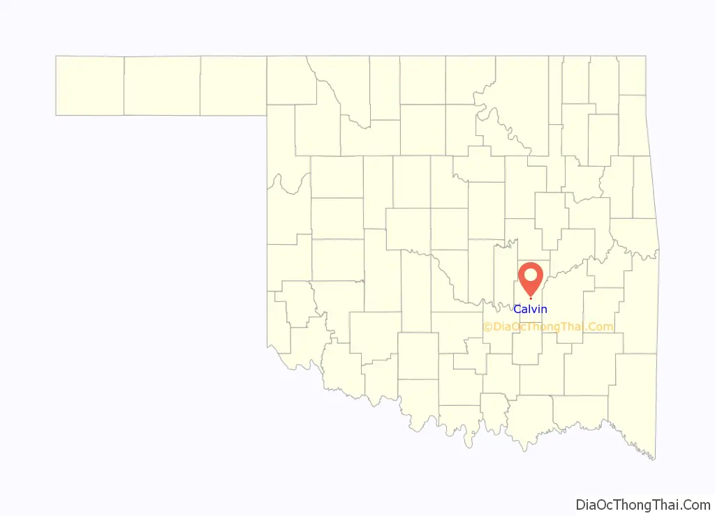
Calvin location map. Where is Calvin town?

History
The present community of Calvin was established in 1895, when the Choctaw, Oklahoma and Gulf Railway (C O & G) laid a line through the Choctaw Nation between McAlester (then in Indian Territory) and Oklahoma City (then in Oklahoma Territory). The community was initially called “Riverview”, for its location on the south bank of the Canadian River. The Riverview post office was established on March 21, 1895, with John Wilbur as postmaster. The town (and post office) name was changed to Calvin in June, 1895, to honor the Choctaw landowner, Calvin Perry. The Choctaw Nation Town Site Commission surveyed Calvin’s site and divided it into 350 lots, which were put up for sale.
About 1904, a fire destroyed several business buildings and the Masonic Lodge on Canadian Street (the main street in downtown Calvin. These losses were soon replaced with new all-brick buildings. In 1905, the population was reportedly about 300. From then until the Great Depression, Calvin served as a busy trade center for the area’s produce.
In 1906 J. W. Hundley established a store and in 1907 erected a building, the largest mercantile establishment in Hughes County. A ferry operating across the Canadian River gave access to Calvin’s cotton market and railroad connections. The Missouri, Oklahoma and Gulf Railroad (M, O &G) constructed a line through the area, reaching Calvin in 1909. By that time the growing town offered the surrounding agricultural community a choice of four cotton gins, eight general stores, two hotels, and numerous other businesses typical of the era.
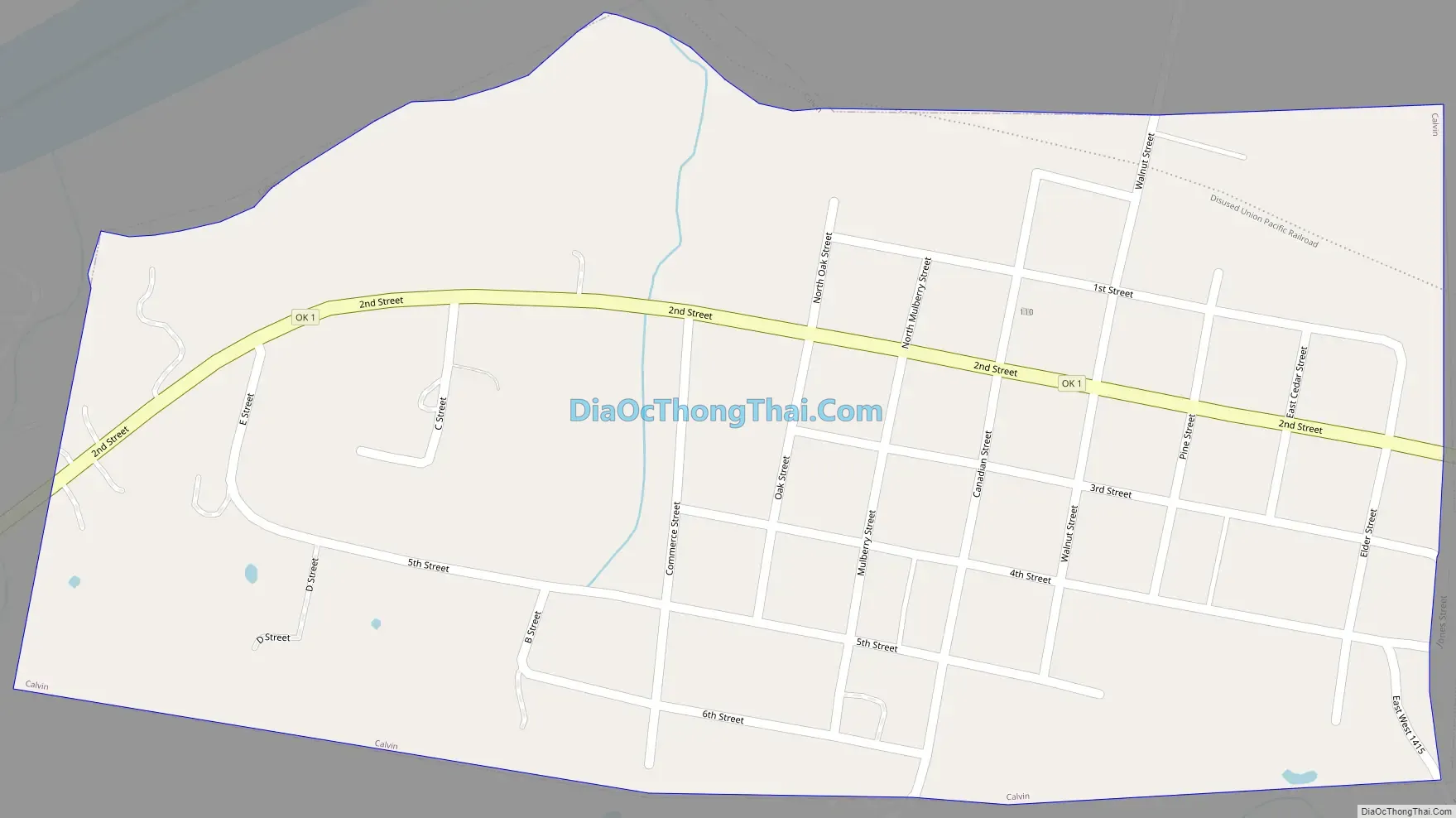
Calvin Road Map
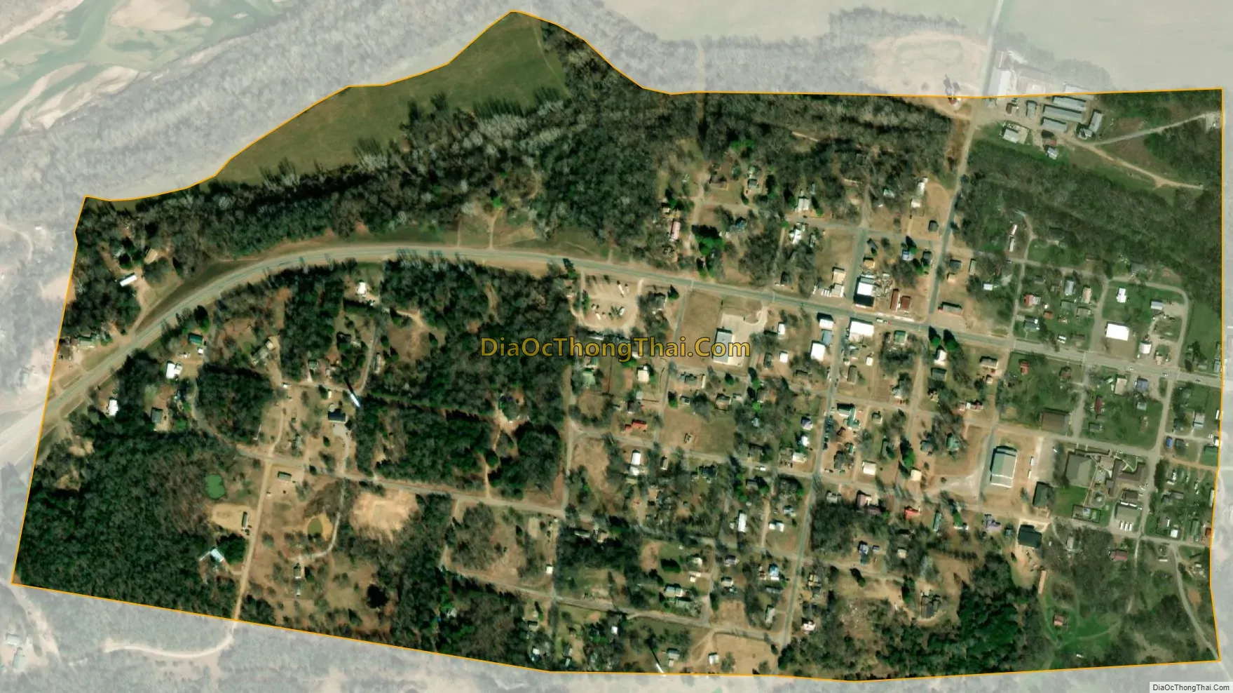
Calvin city Satellite Map
Geography
Calvin is located in south-central Hughes County at 34°58′2″N 96°14′59″W / 34.96722°N 96.24972°W / 34.96722; -96.24972 (34.967315, -96.249811), on the south side of the Canadian River. U.S. Route 75 passes just east of the town limits, leading north 19 miles (31 km) to Wetumka and south 32 miles (51 km) to Coalgate. U.S. Route 270 comes in with US 75 from the north but turns east at Calvin and leads 30 miles (48 km) to McAlester. Oklahoma State Highway 1 runs through the center of Calvin, leading east with US 270 to McAlester and west 31 miles (50 km) to Ada.
According to the United States Census Bureau, the town of Calvin has a total area of 0.50 square miles (1.3 km), all land.
See also
Map of Oklahoma State and its subdivision:- Adair
- Alfalfa
- Atoka
- Beaver
- Beckham
- Blaine
- Bryan
- Caddo
- Canadian
- Carter
- Cherokee
- Choctaw
- Cimarron
- Cleveland
- Coal
- Comanche
- Cotton
- Craig
- Creek
- Custer
- Delaware
- Dewey
- Ellis
- Garfield
- Garvin
- Grady
- Grant
- Greer
- Harmon
- Harper
- Haskell
- Hughes
- Jackson
- Jefferson
- Johnston
- Kay
- Kingfisher
- Kiowa
- Latimer
- Le Flore
- Lincoln
- Logan
- Love
- Major
- Marshall
- Mayes
- McClain
- McCurtain
- McIntosh
- Murray
- Muskogee
- Noble
- Nowata
- Okfuskee
- Oklahoma
- Okmulgee
- Osage
- Ottawa
- Pawnee
- Payne
- Pittsburg
- Pontotoc
- Pottawatomie
- Pushmataha
- Roger Mills
- Rogers
- Seminole
- Sequoyah
- Stephens
- Texas
- Tillman
- Tulsa
- Wagoner
- Washington
- Washita
- Woods
- Woodward
- Alabama
- Alaska
- Arizona
- Arkansas
- California
- Colorado
- Connecticut
- Delaware
- District of Columbia
- Florida
- Georgia
- Hawaii
- Idaho
- Illinois
- Indiana
- Iowa
- Kansas
- Kentucky
- Louisiana
- Maine
- Maryland
- Massachusetts
- Michigan
- Minnesota
- Mississippi
- Missouri
- Montana
- Nebraska
- Nevada
- New Hampshire
- New Jersey
- New Mexico
- New York
- North Carolina
- North Dakota
- Ohio
- Oklahoma
- Oregon
- Pennsylvania
- Rhode Island
- South Carolina
- South Dakota
- Tennessee
- Texas
- Utah
- Vermont
- Virginia
- Washington
- West Virginia
- Wisconsin
- Wyoming